
Credits
We use photographs under open licenses and credit every photographer. The maps are drawn from U.S. Census Bureau data.
Maps and data
- Island outlines and towns: U.S. Census Bureau, TIGER/Line Shapefiles 2025 (estates and places), public domain. TIGER/Line files.
- Estate boundaries: U.S. Census Bureau, TIGER/Line Shapefiles 2025, U.S. Virgin Islands estates.
- Population by estate: U.S. Census Bureau, 2020 Island Areas Censuses: U.S. Virgin Islands, Table 2 (population by estate).
Photographs
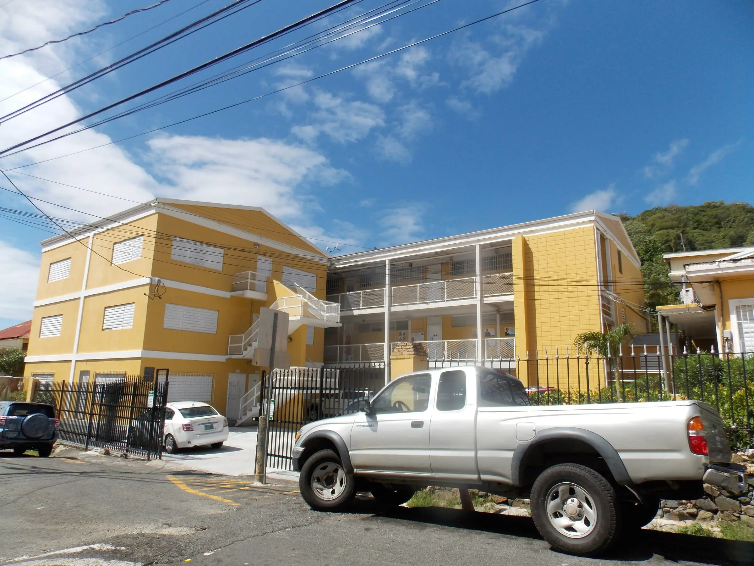
All Saints Cathedral School
Charlotte Amalie, St. Thomas
By Farragutful, CC BY-SA 4.0Resized to 2400px wide and re-encoded with metadata removed; the site crops it responsively.
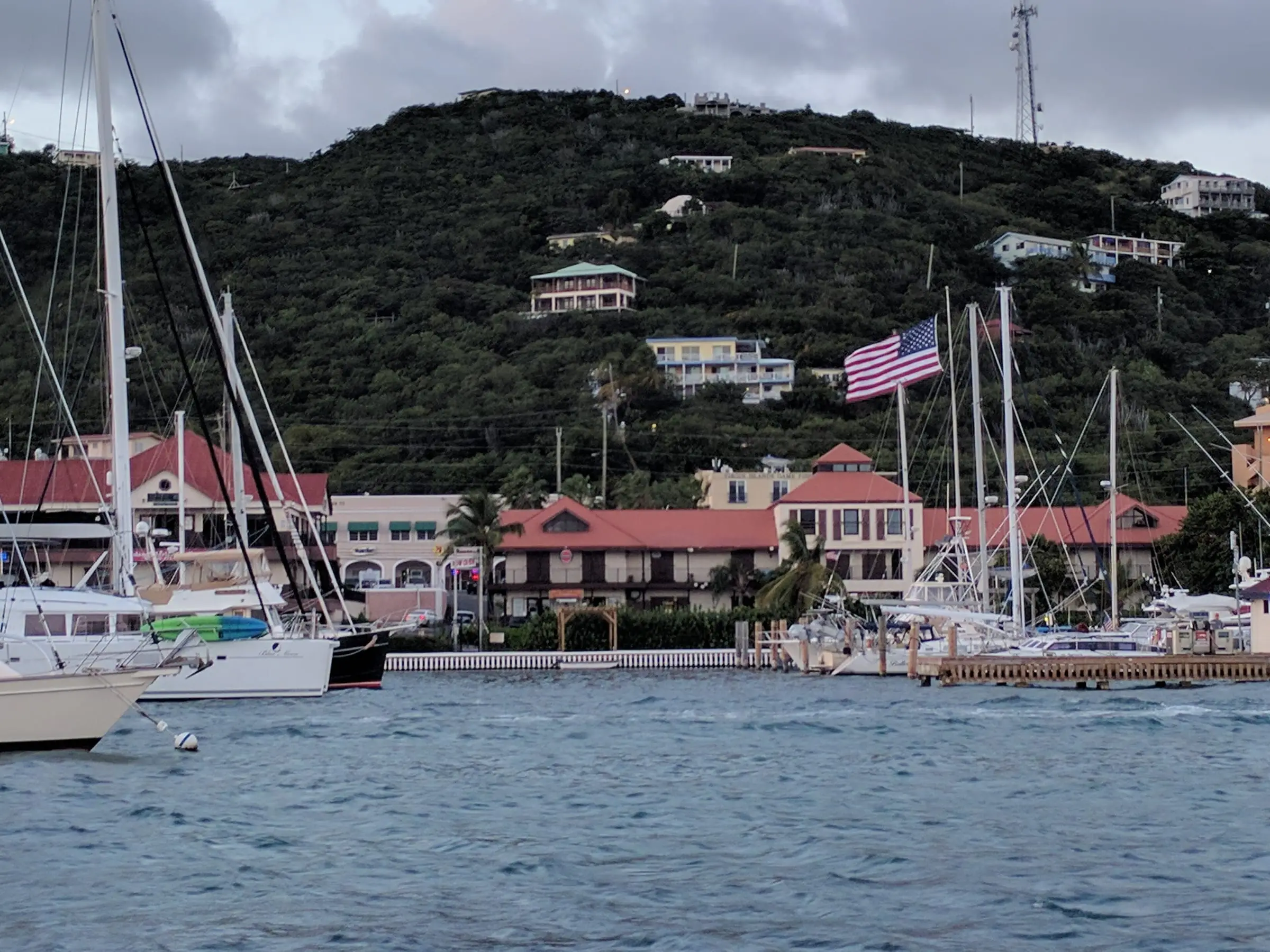
American Yacht Harbor
Red Hook, St. Thomas
By elisfkc from Orlando, FL, United States, CC BY-SA 2.0Resized to 2400px wide and re-encoded with metadata removed; the site crops it responsively.
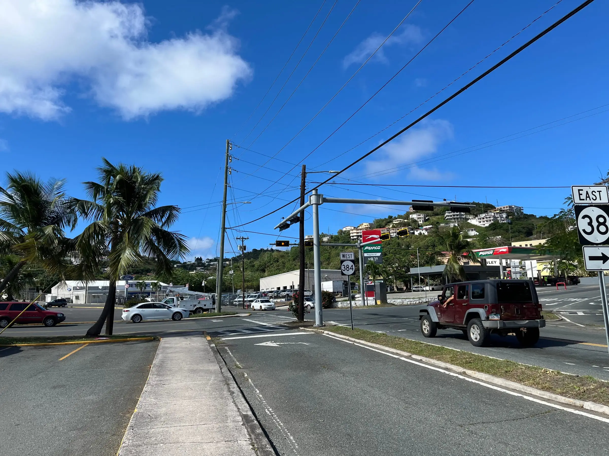
Anna's Retreat
Anna's Retreat, St. Thomas
By LittleT889, CC BY 4.0Resized to 2400px wide and re-encoded with metadata removed; the site crops it responsively.
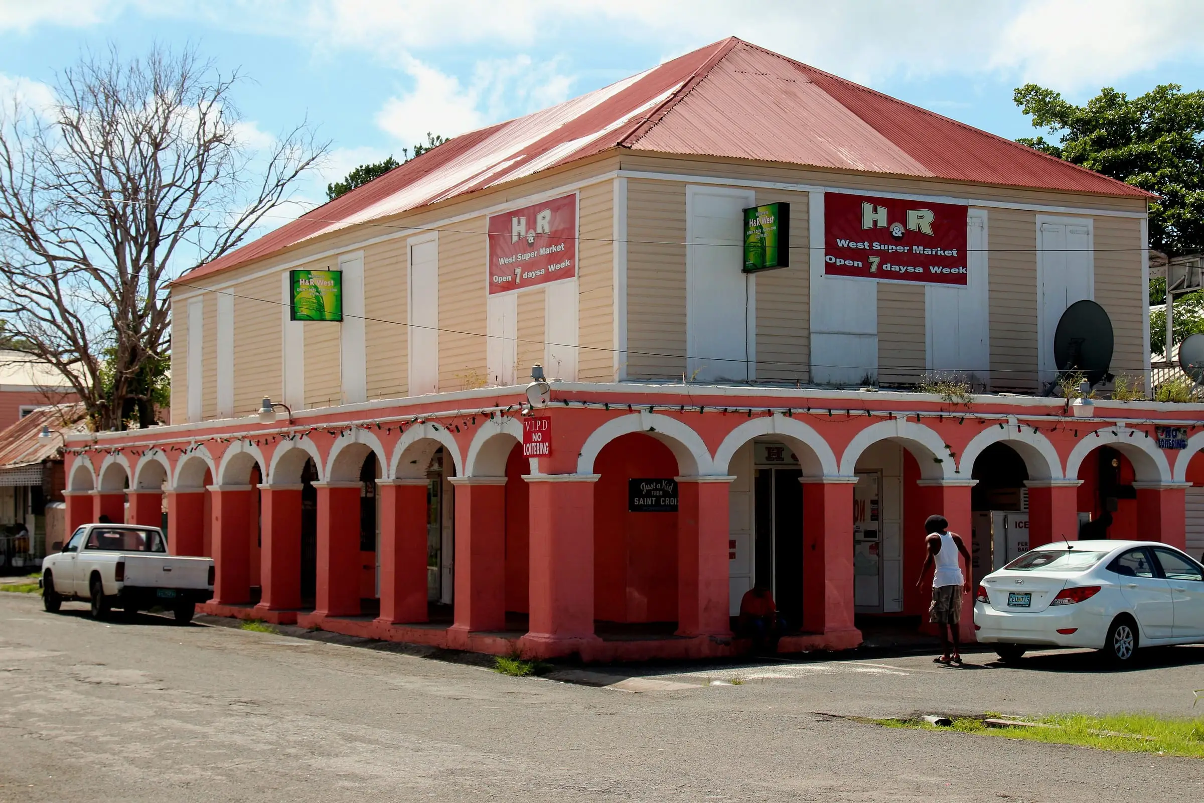
Arcaded building in Frederiksted
Frederiksted, St. Croix
By Prayitno, CC BY 2.0Resized to 2400px wide and re-encoded with metadata removed; the site crops it responsively.
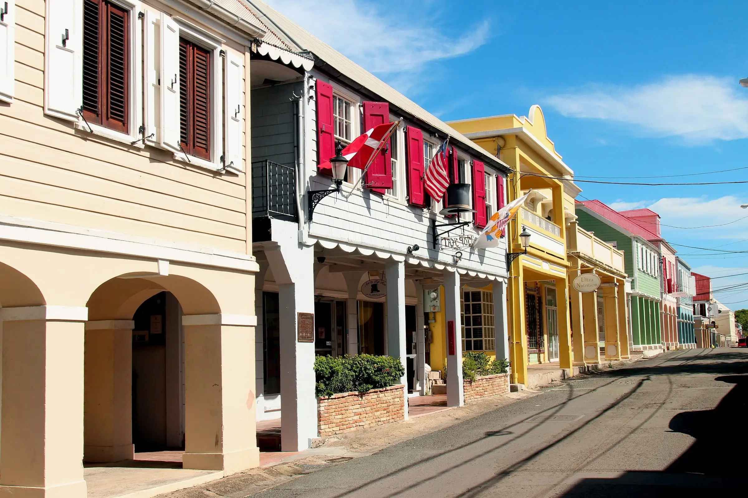
Arcaded street in Christiansted
Christiansted, St. Croix
By Prayitno, CC BY 2.0Resized to 2400px wide and re-encoded with metadata removed; the site crops it responsively.
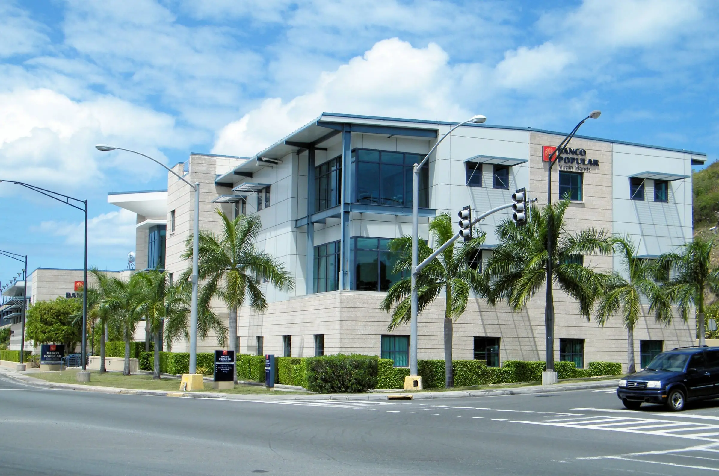
Banco Popular Virgin Islands
Charlotte Amalie, St. Thomas
By Coolcaesar at en.wikipedia, CC BY-SA 3.0Resized to 2400px wide and re-encoded with metadata removed; the site crops it responsively.
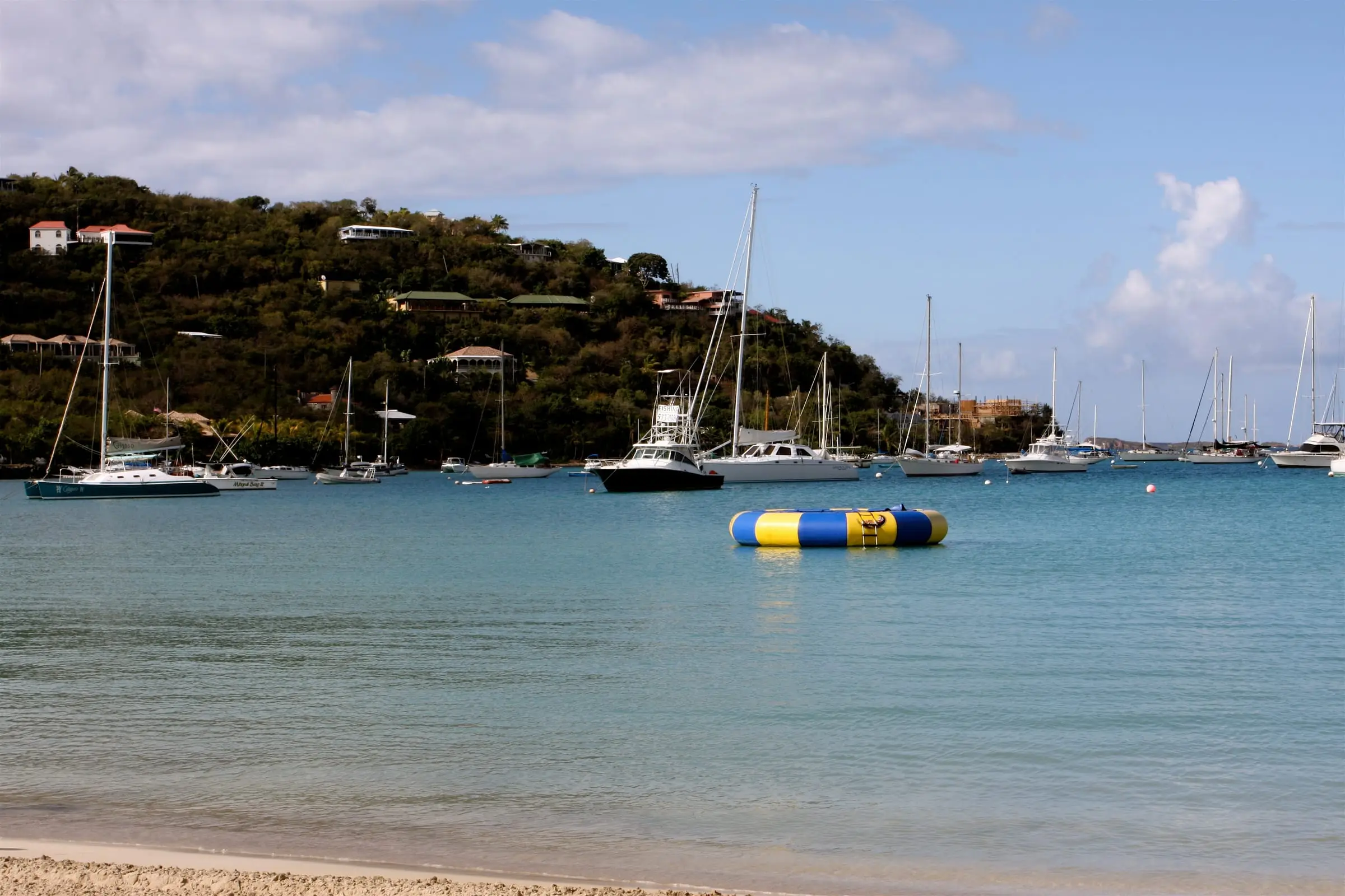
Boats moored in Great Cruz Bay
Great Cruz Bay, St. John
By TravelingOtter, CC BY-SA 2.0Resized to 2400px wide and re-encoded with metadata removed; the site crops it responsively.
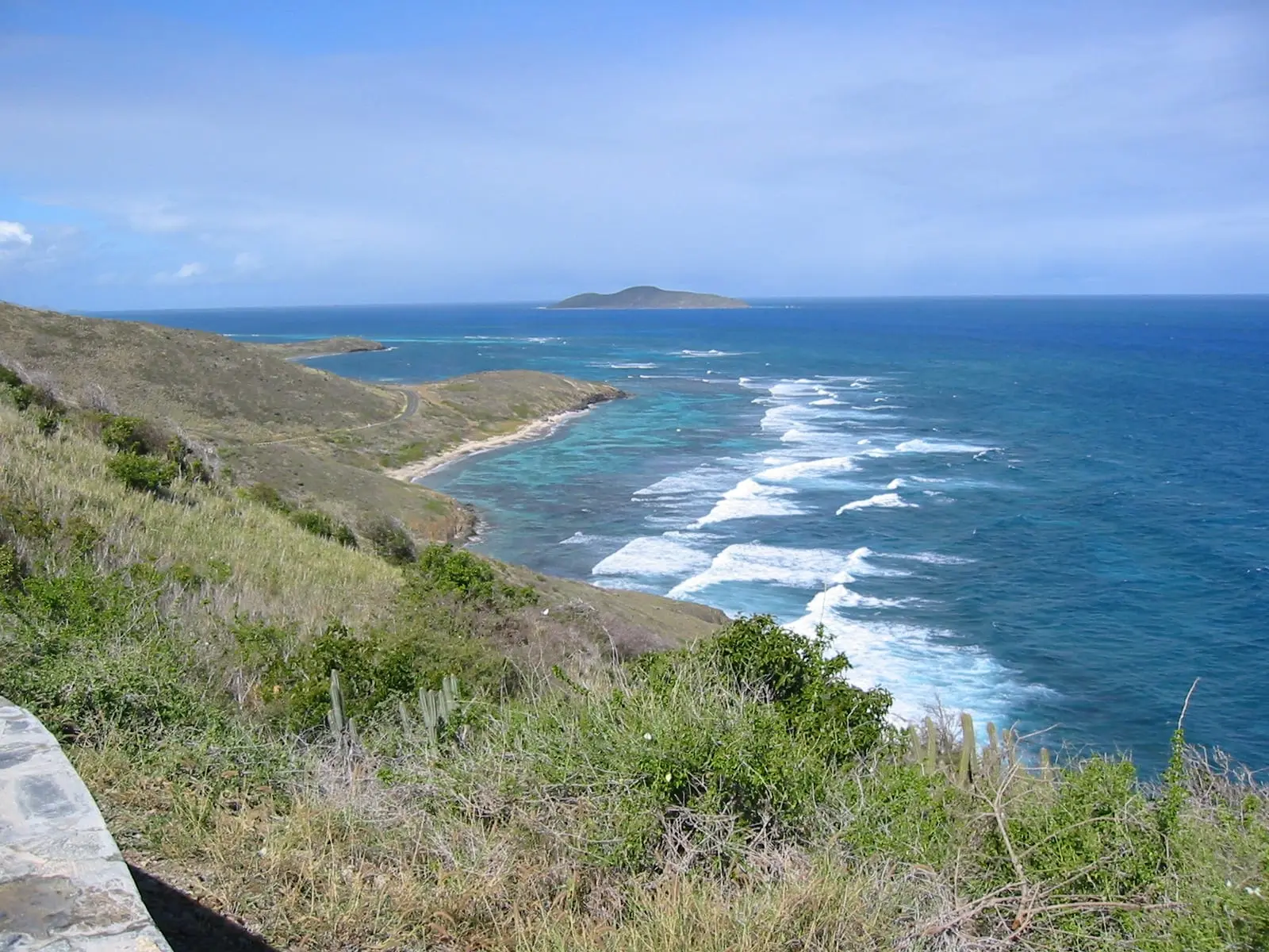
Boiler Bay
Point Udall, East End, St. Croix
By Dartrider, CC BY-SA 4.0Re-encoded with metadata removed (not resized); the site crops it responsively.
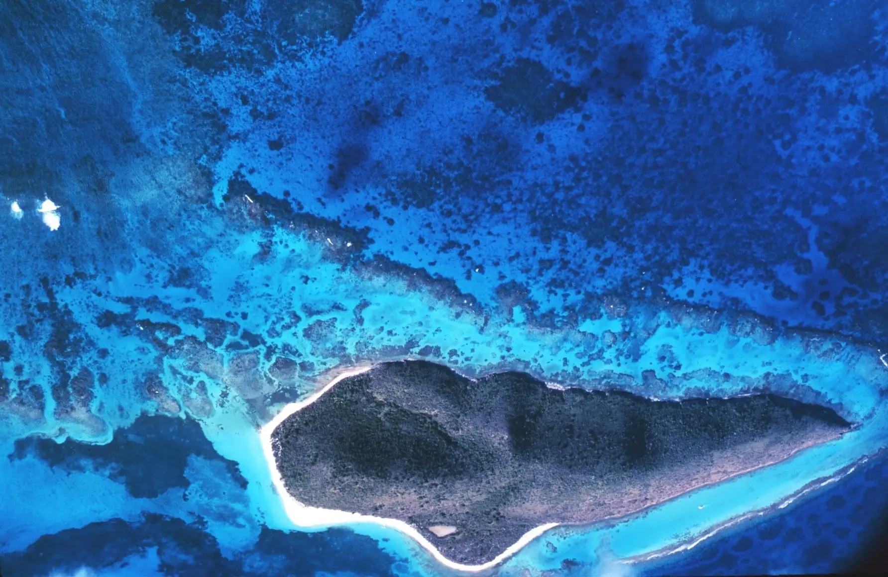
Buck Island Reef National Monument
Buck Island, St. Croix
By Sean Linehan, NOAA, Public domainRe-encoded with metadata removed (not resized); the site crops it responsively.
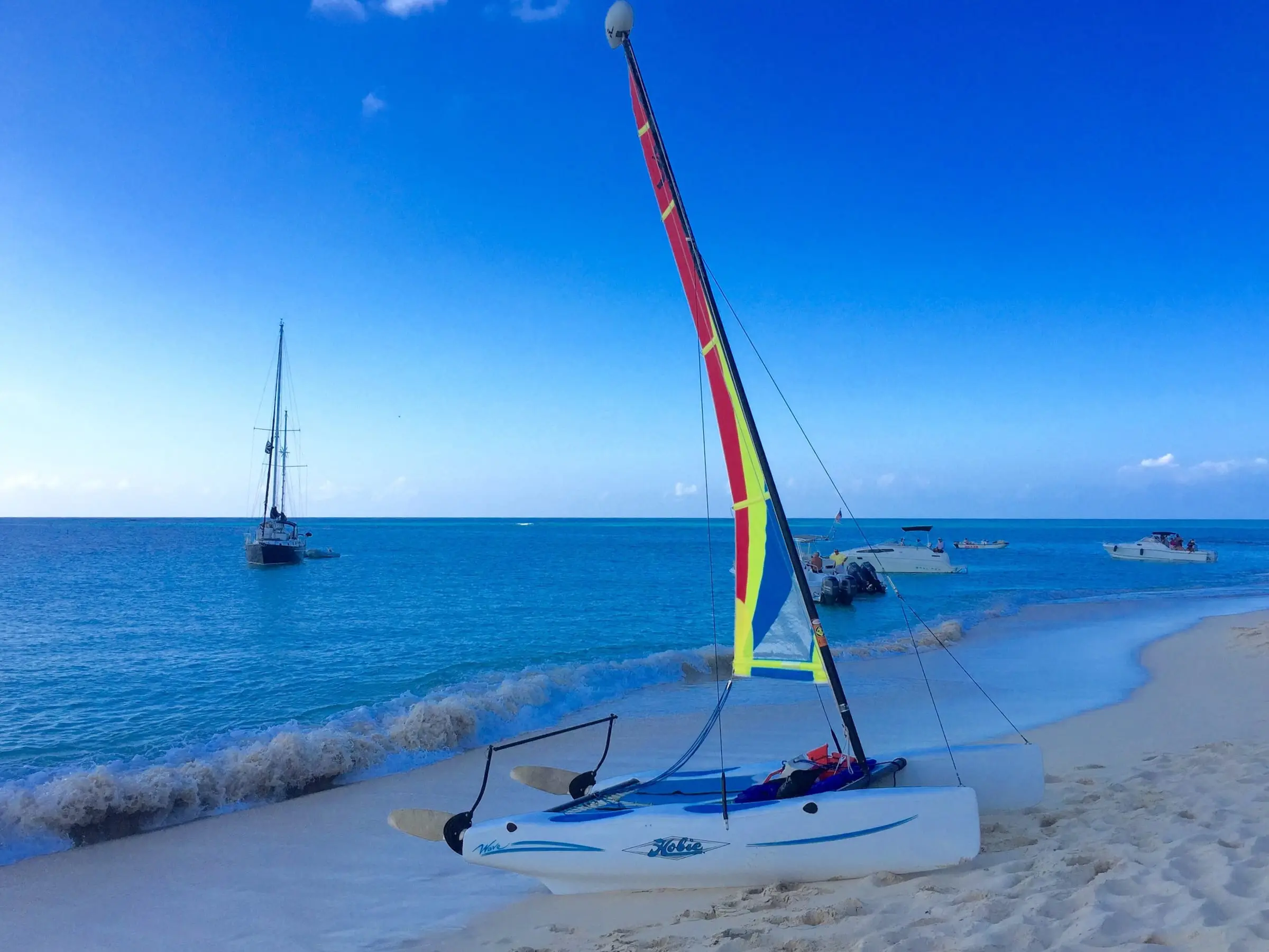
Buck Island Reef National Monument
Buck Island, St. Croix
By Islanderin, CC BY-SA 4.0Resized to 2400px wide and re-encoded with metadata removed; the site crops it responsively.
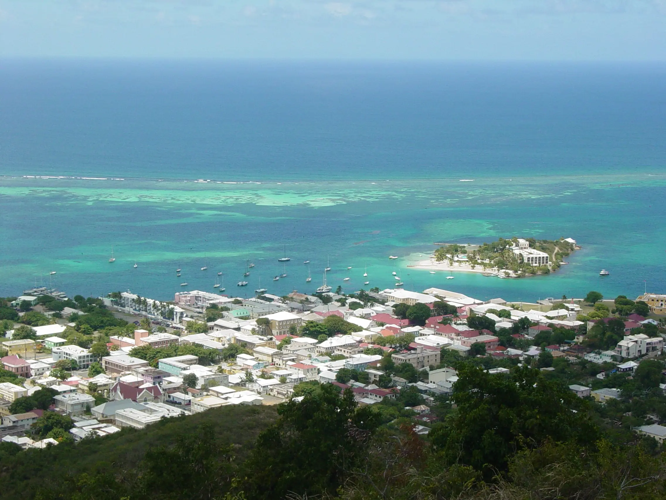
Christiansted from Recovery Hill
Christiansted, St. Croix
By Jason P. Heym, CC BY-SA 3.0Re-encoded with metadata removed (not resized; 2272px is the full original); the site crops it responsively, including a 9:16 crop for portrait screens. No AI upscaling or retouching.
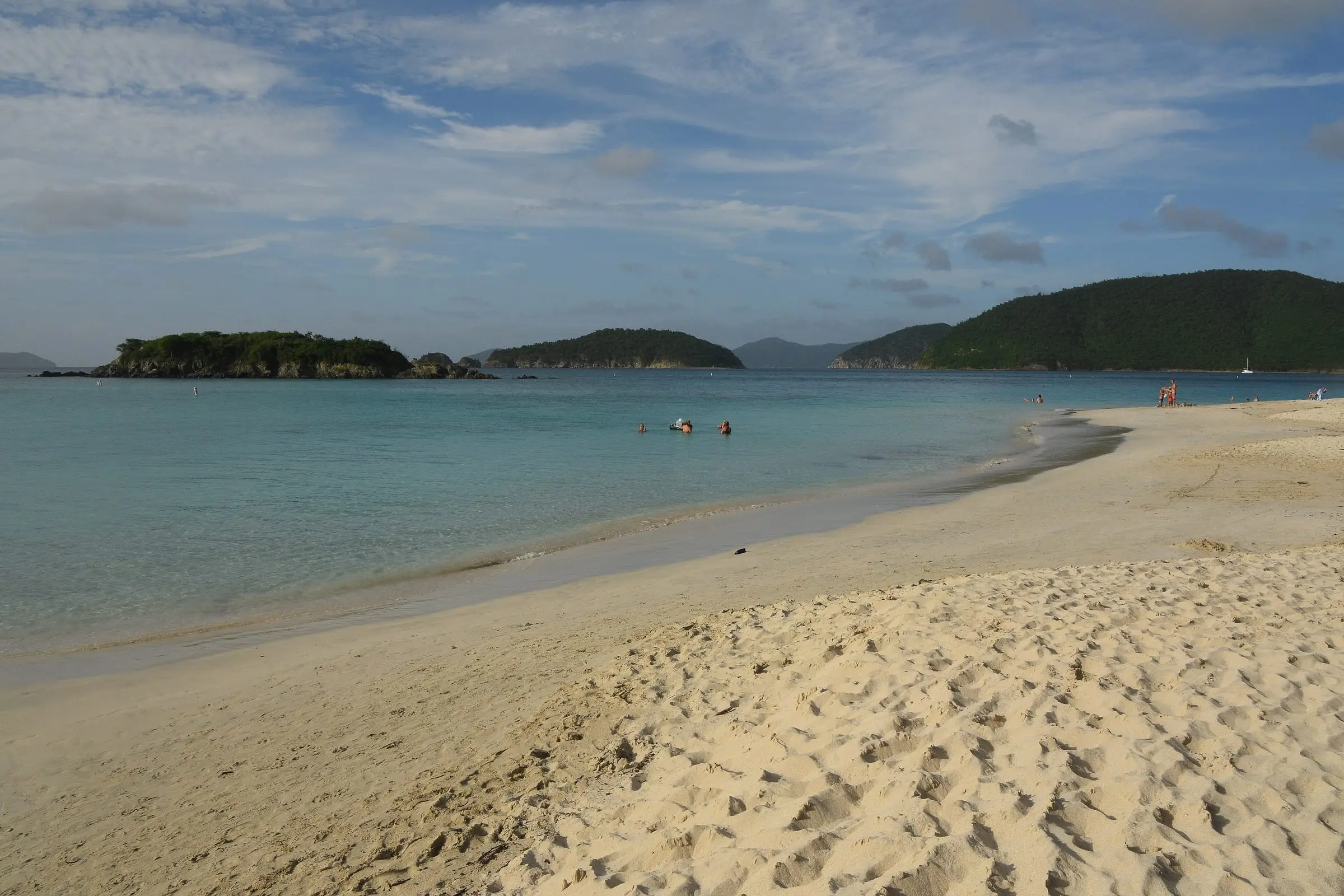
Cinnamon Bay Beach
Cinnamon Bay, St. John
By Amaury Laporte, CC BY 2.0Resized to 2400px wide and re-encoded with metadata removed; the site crops it responsively.
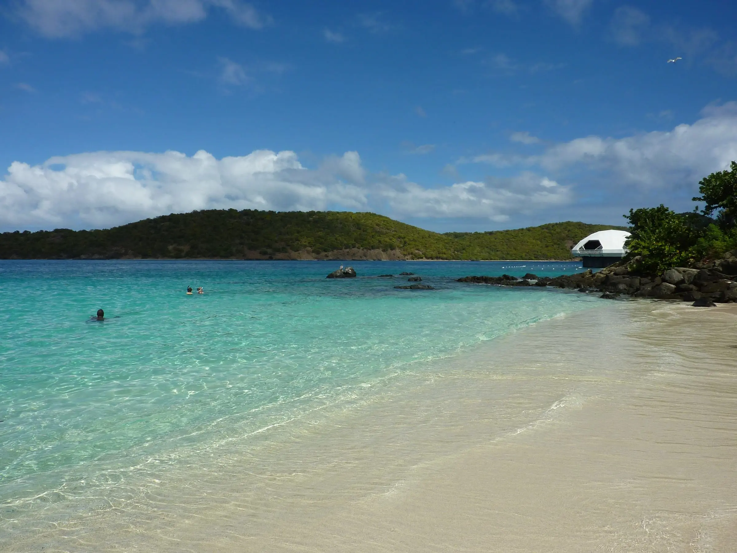
Coki Beach
Coki Point, St. Thomas
By Gruepig, CC BY-SA 3.0Resized to 2400px wide and re-encoded with metadata removed; the site crops it responsively.
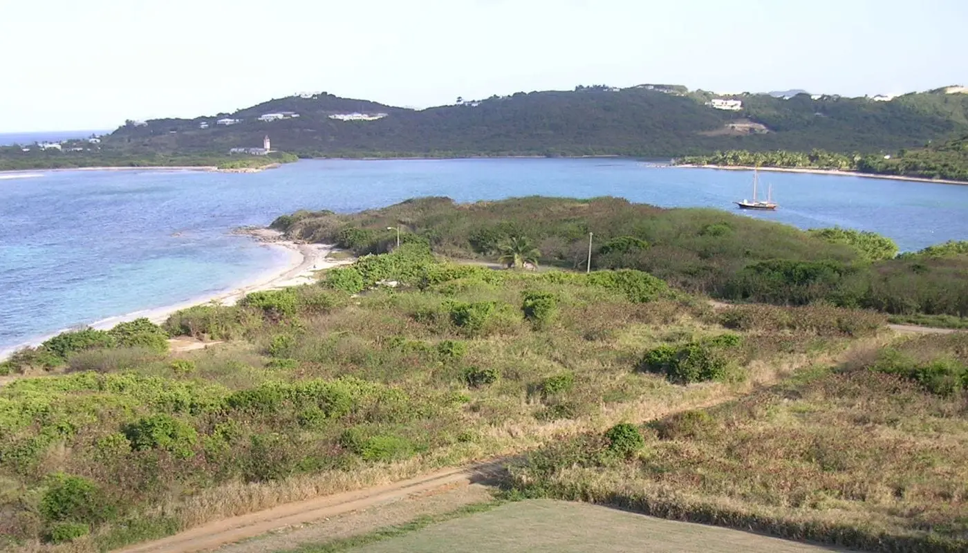
Columbus Landing Site, Salt River Bay
Salt River Bay, St. Croix
By Eoghanacht, Public domainRe-encoded with metadata removed (not resized); the site crops it responsively.
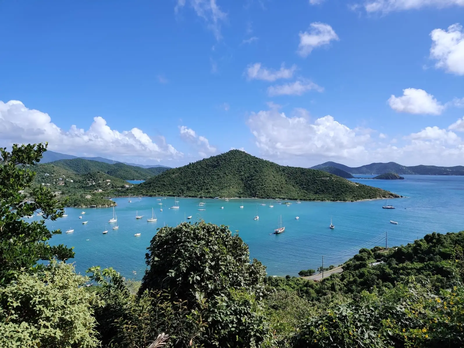
Coral Bay and Fortsberg
Coral Bay, St. John
By Heptazane, CC BY-SA 4.0Re-encoded with metadata removed (not resized); the site crops it responsively.
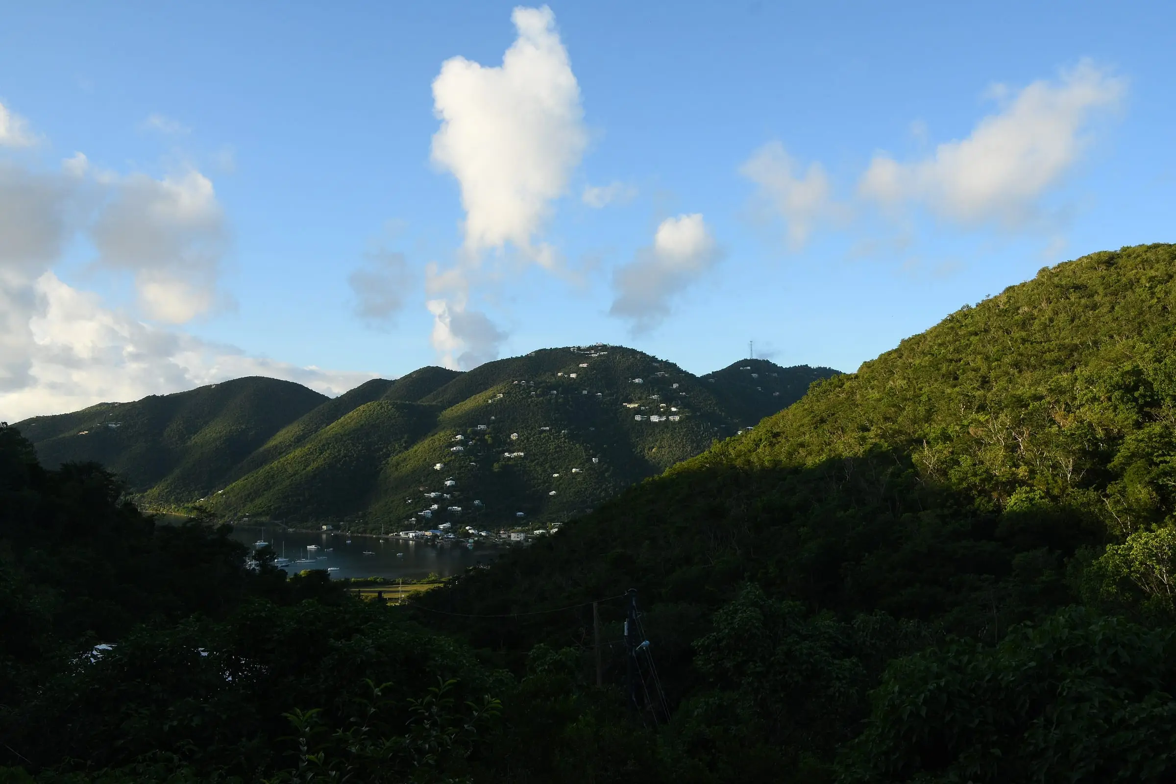
Coral Bay and its hills
Coral Bay, St. John
By Amaury Laporte, CC BY 2.0Resized to 2400px wide and re-encoded with metadata removed; the site crops it responsively.
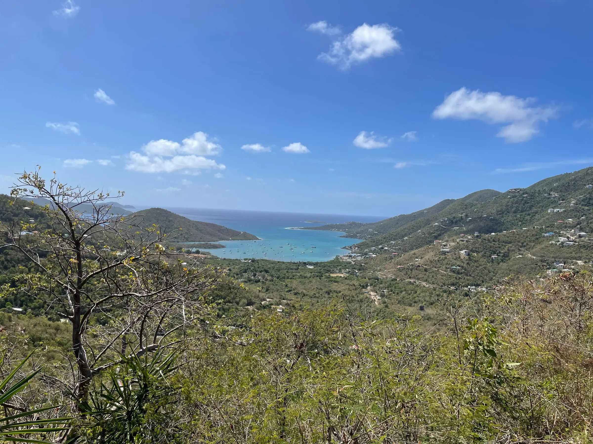
Coral Bay from the hills
Coral Bay, St. John
By Eoghanacht, CC0Resized to 2400px wide and re-encoded with metadata removed; the site crops it responsively.
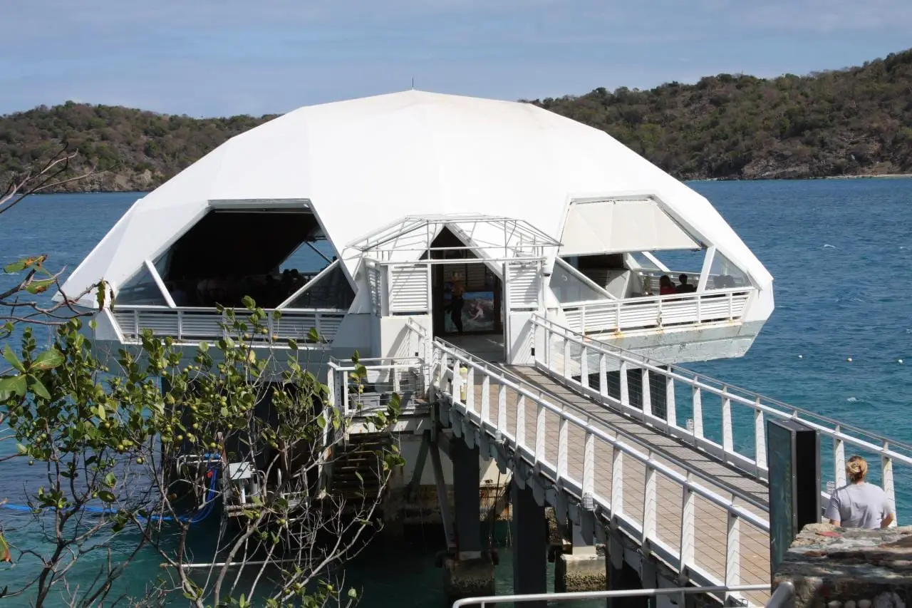
Coral World Undersea Observatory Tower
Coki Point, St. Thomas
By Derek Hatfield from Peterborough, Canada, CC BY 2.0Re-encoded with metadata removed (not resized); the site crops it responsively.
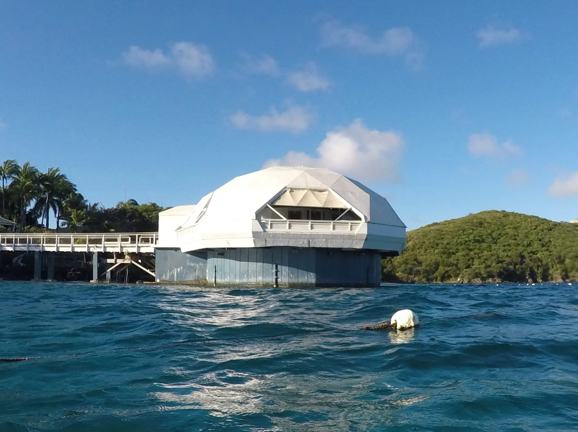
Coral World Undersea Observatory Tower
Coki Point, St. Thomas
By Gruepig, CC BY-SA 4.0Re-encoded with metadata removed (not resized); the site crops it responsively.
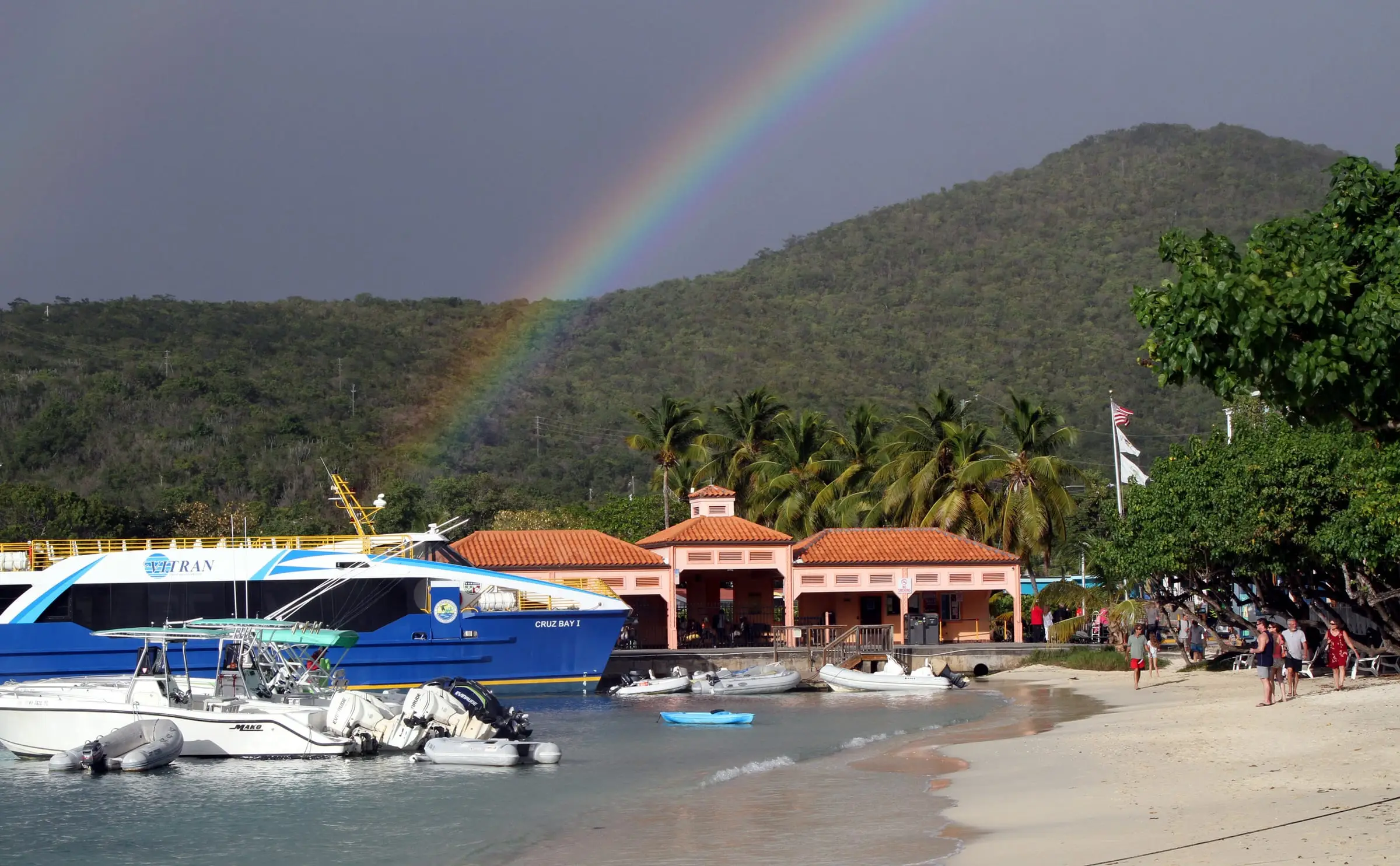
Cruz Bay ferry dock
Cruz Bay, St. John
By anoldent, CC BY-SA 2.0Resized to 2400px wide and re-encoded with metadata removed; the site crops it responsively.
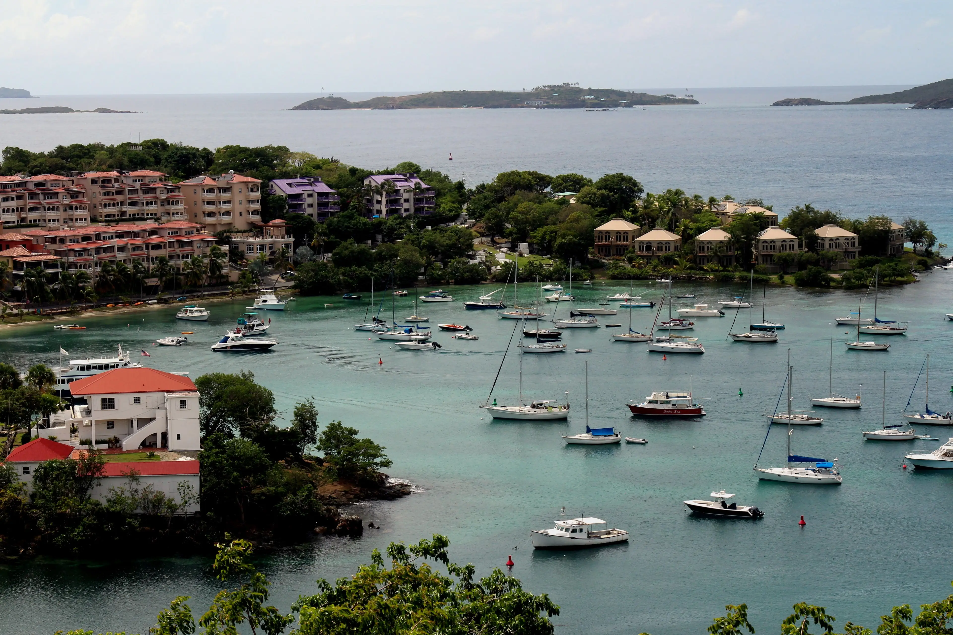
Cruz Bay harbor
Cruz Bay, St. John
By Prayitno, CC BY 2.0Resized from the 5184px original to 3840px wide and re-encoded with metadata removed; the site crops it responsively, including a 9:16 crop for portrait screens. No AI upscaling or retouching.
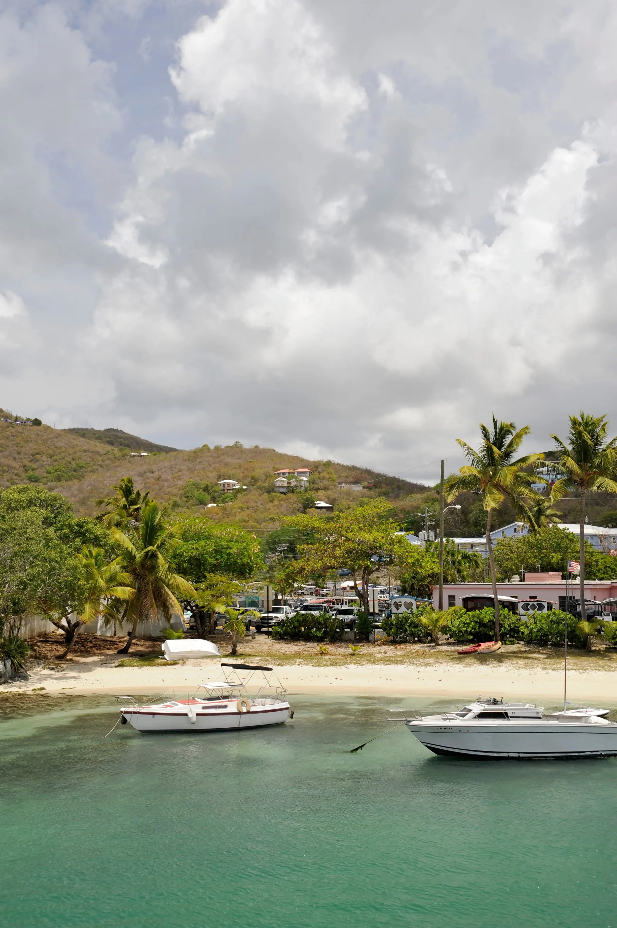
Cruz Bay shoreline
Cruz Bay, St. John
By Fred Hsu, CC BY-SA 3.0Resized to 2400px wide and re-encoded with metadata removed; the site crops it responsively.
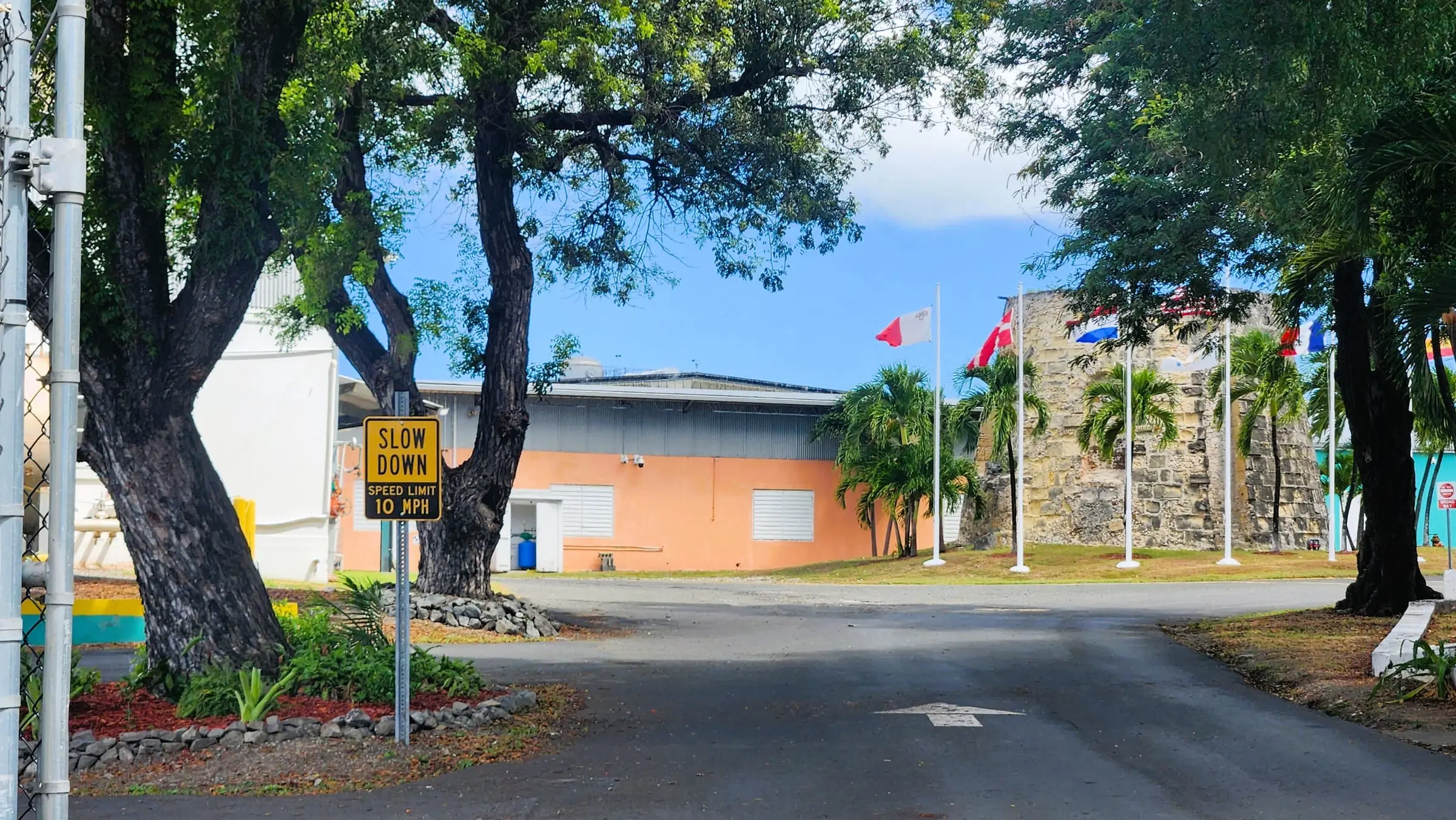
Cruzan Rum Distillery
Estate Diamond, St. Croix
By CaptJayRuffins, CC BY-SA 4.0Resized to 2400px wide and re-encoded with metadata removed; the site crops it responsively.
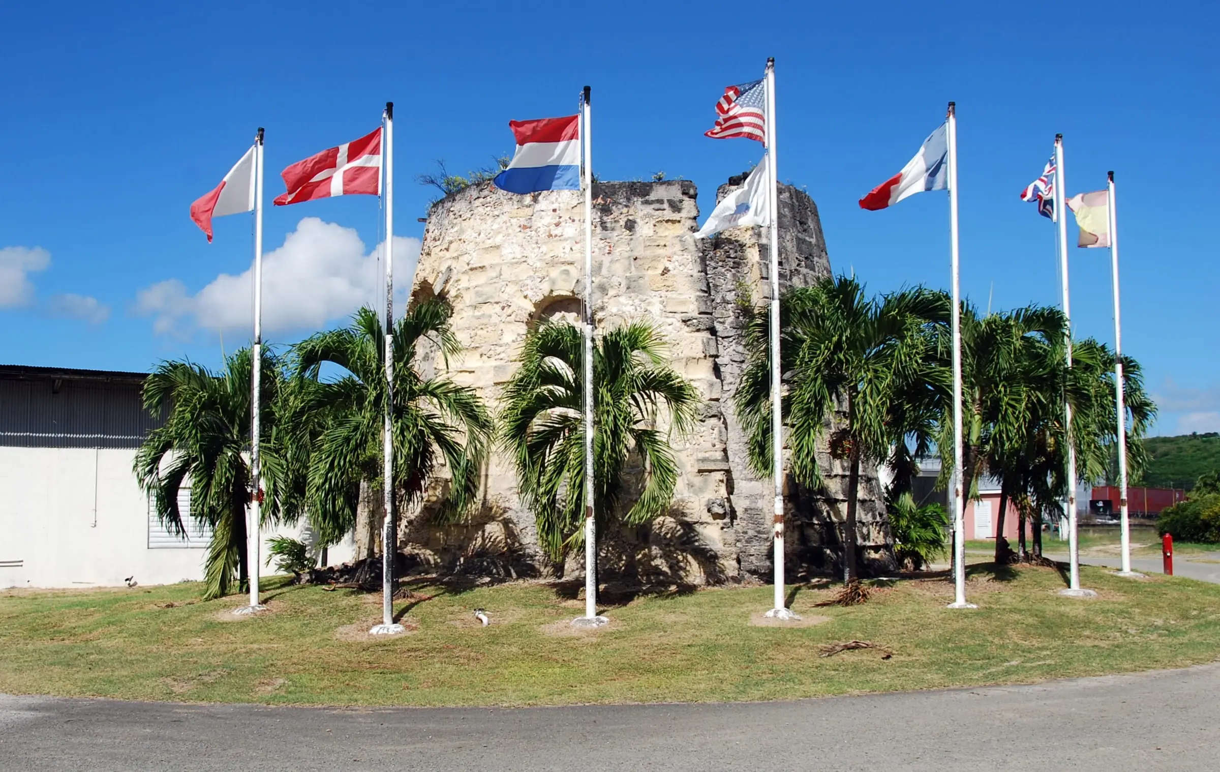
Cruzan Rum Distillery
Estate Diamond, St. Croix
By Lars Schmidt, CC BY-SA 3.0Resized to 2400px wide and re-encoded with metadata removed; the site crops it responsively.
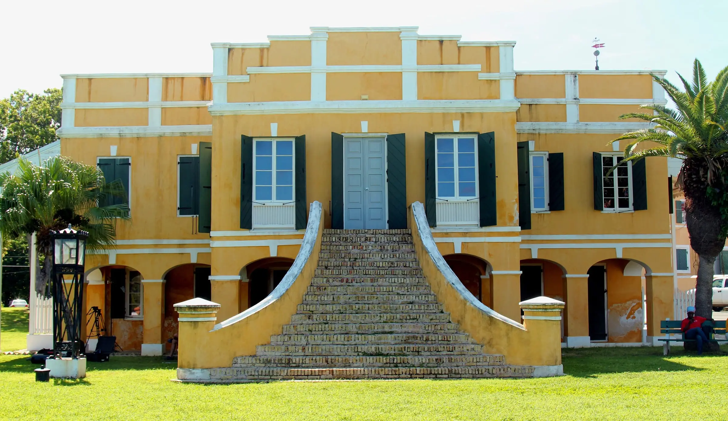
Danish Custom House
Christiansted, St. Croix
By Prayitno, CC BY 2.0Resized to 2400px wide and re-encoded with metadata removed; the site crops it responsively.
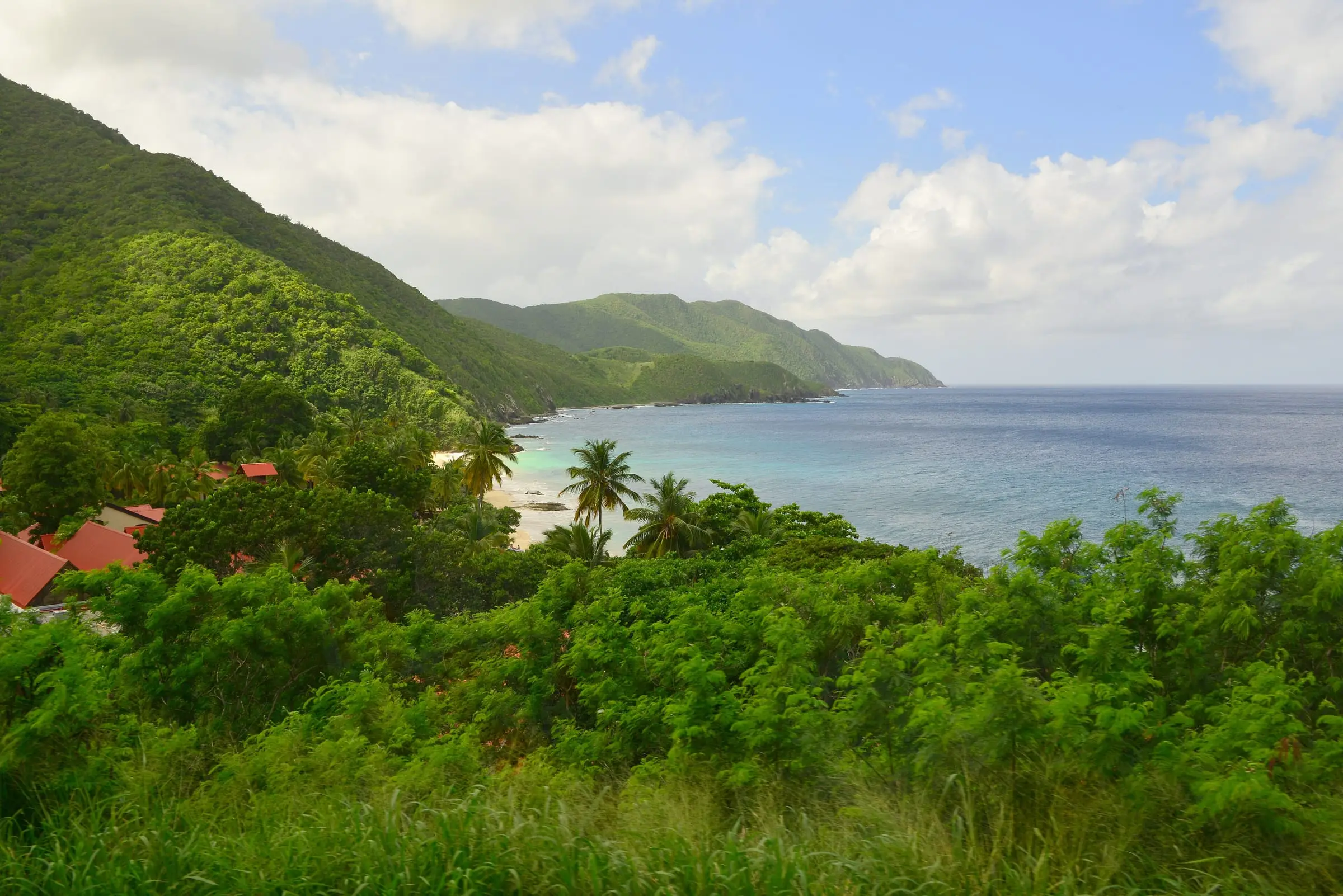
Davis Bay
Davis Bay, North Shore, St. Croix
By Андрей Бобровский, CC BY 3.0Resized to 2400px wide and re-encoded with metadata removed; the site crops it responsively.
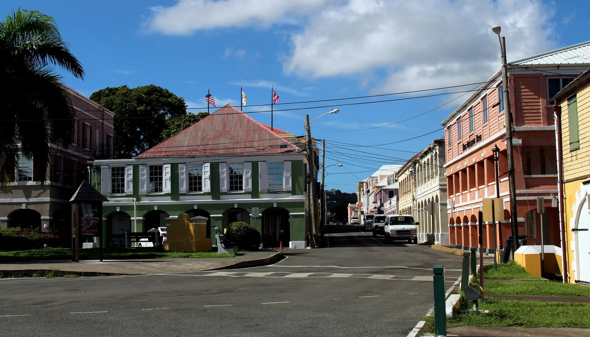
Downtown Christiansted
Christiansted, St. Croix
By Prayitno, CC BY 2.0Resized to 2400px wide and re-encoded with metadata removed; the site crops it responsively.
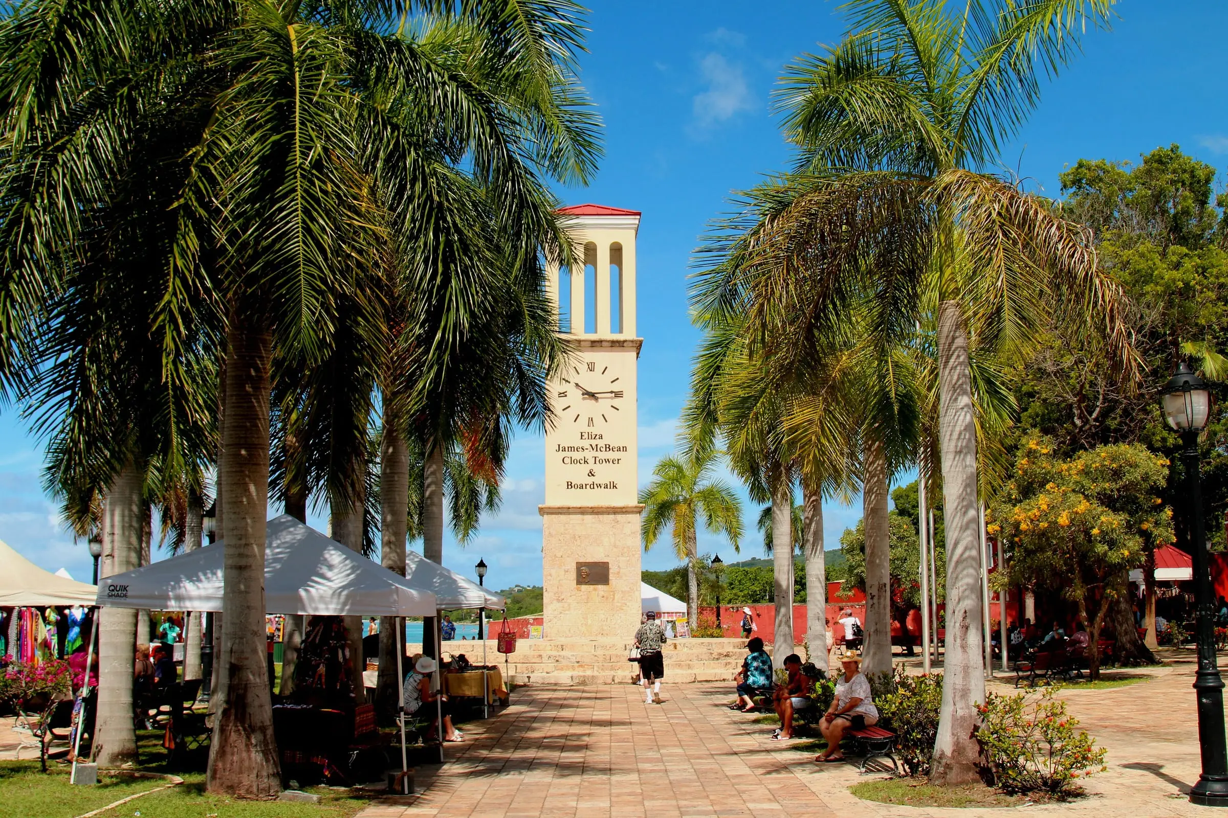
Eliza James-McBean Clock Tower
Frederiksted, St. Croix
By Prayitno, CC BY 2.0Resized to 2400px wide and re-encoded with metadata removed; the site crops it responsively.
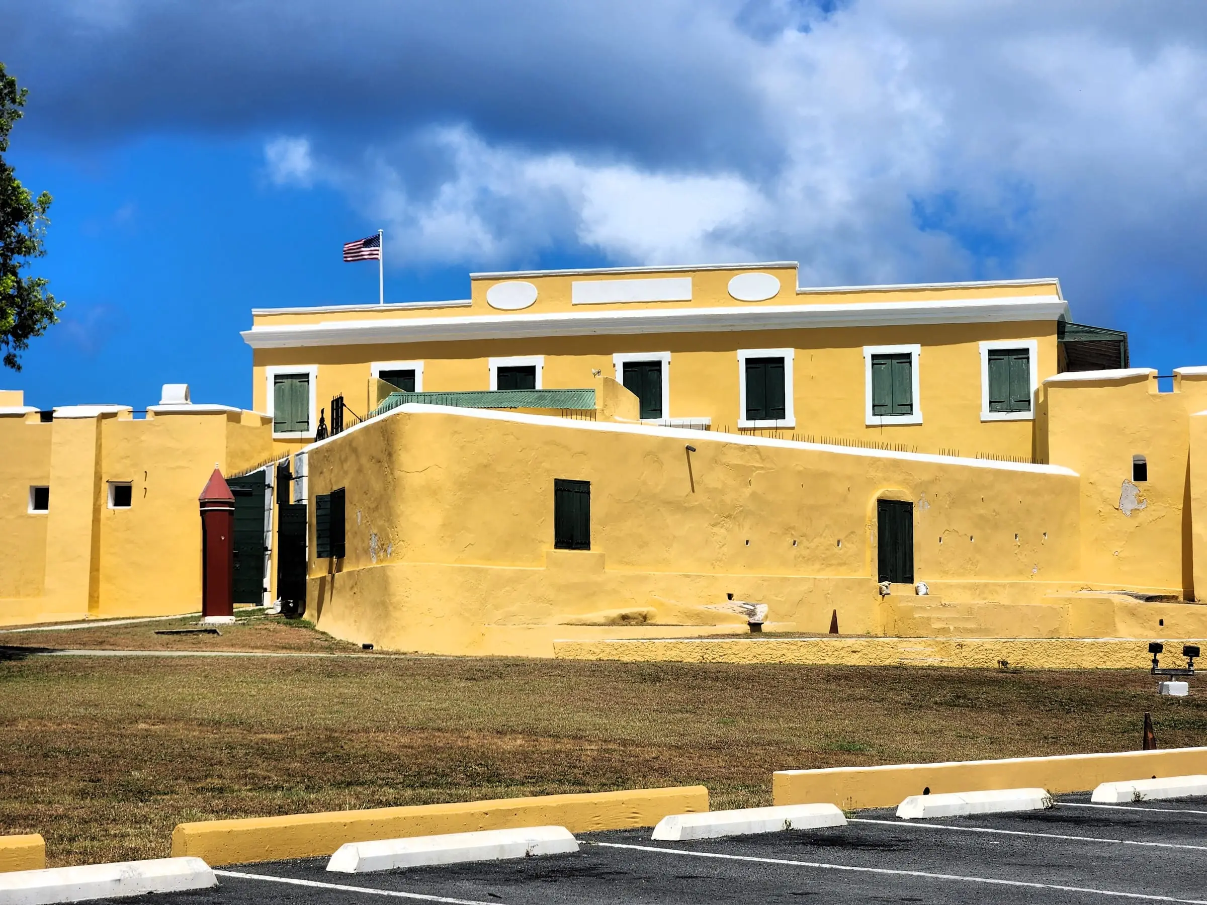
Fort Christiansvaern
Christiansted, St. Croix
By CaptJayRuffins, CC BY-SA 4.0Resized to 2400px wide and re-encoded with metadata removed; the site crops it responsively.
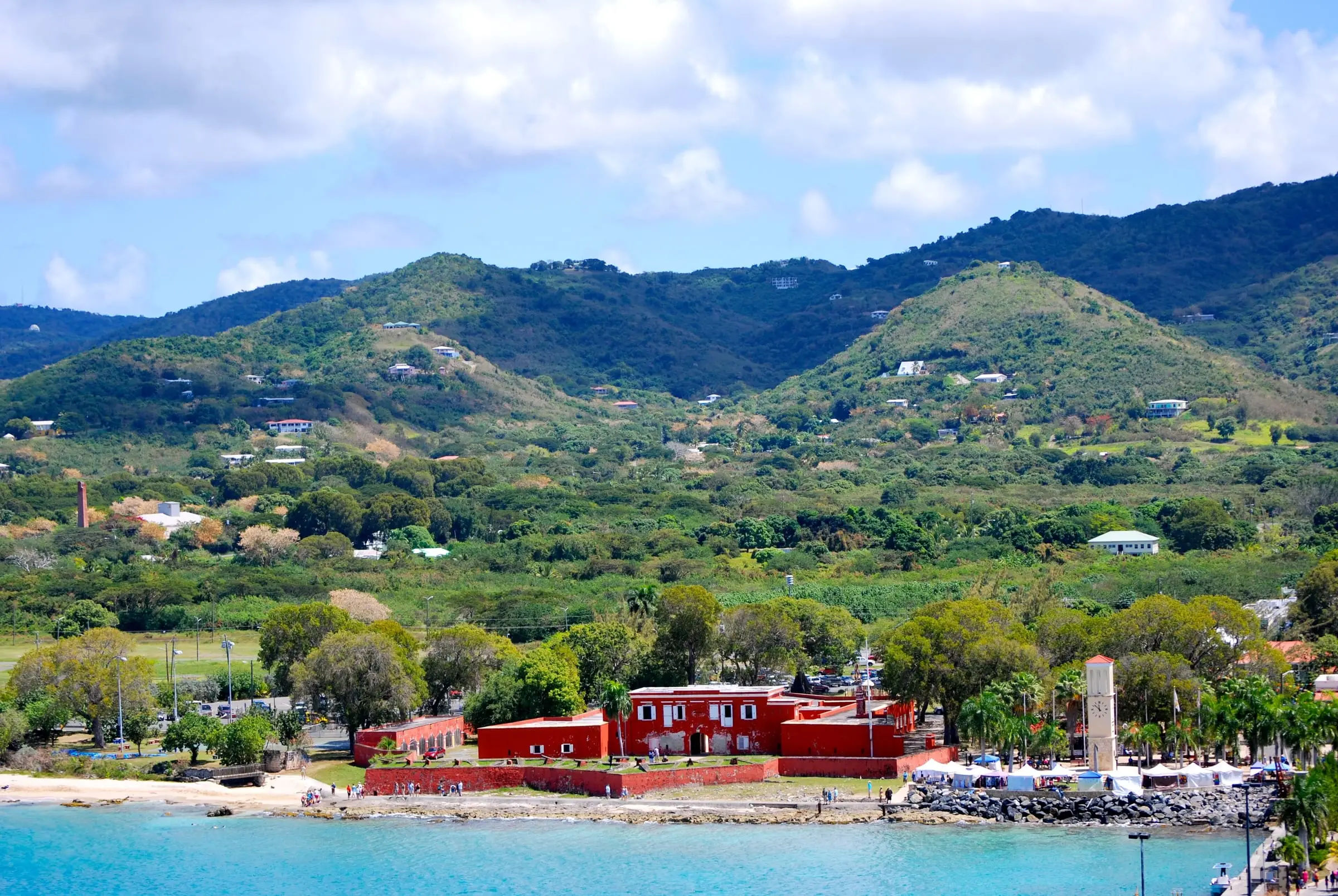
Fort Frederik, Frederiksted
Frederiksted, St. Croix
By Matt H. Wade, CC BY-SA 3.0Resized to 2400px wide and re-encoded with metadata removed; the site crops it responsively.
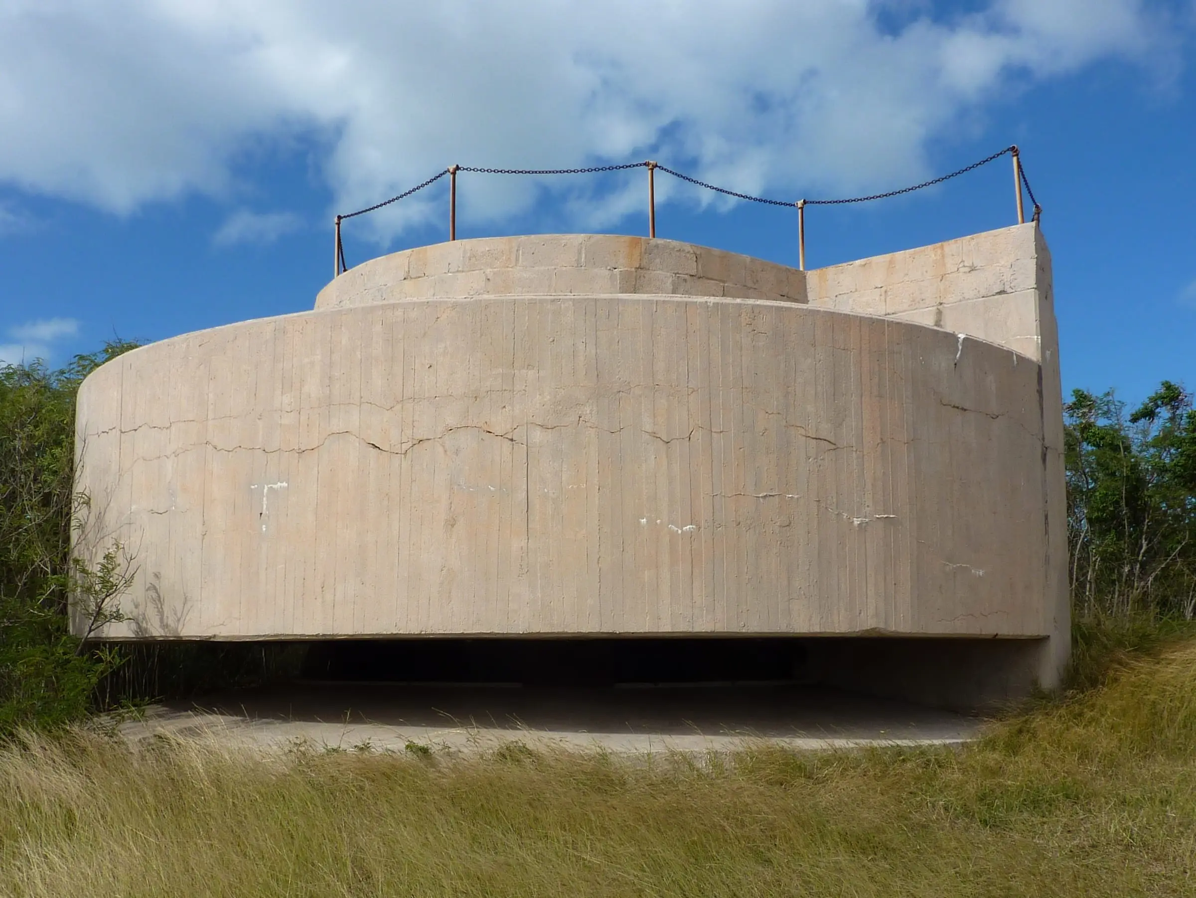
Fort Segarra, Water Island
Fort Segarra, Water Island
By Gruepig, CC BY-SA 4.0Resized to 2400px wide and re-encoded with metadata removed; the site crops it responsively.
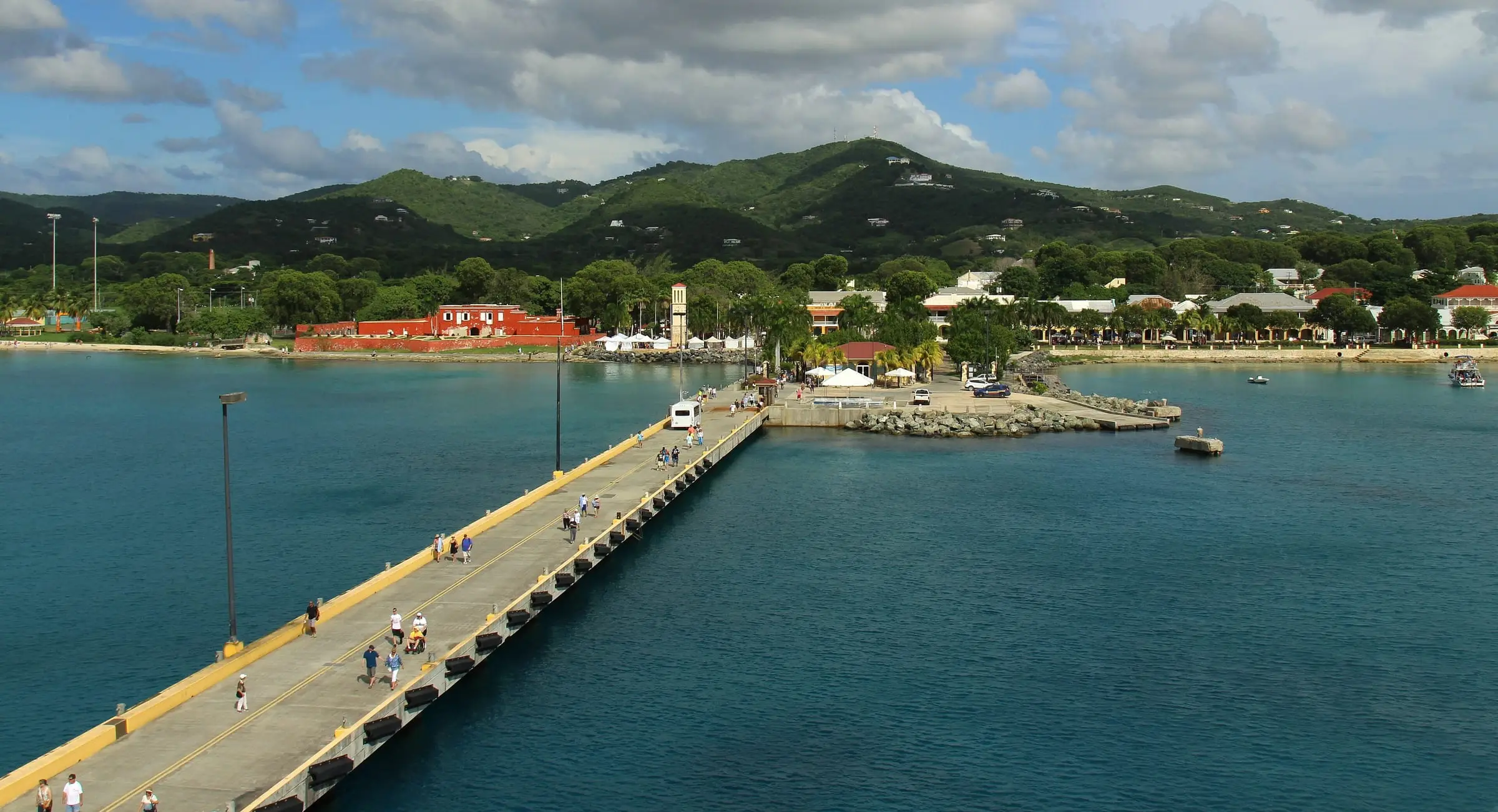
Frederiksted Pier
Frederiksted, St. Croix
By Prayitno, CC BY 2.0Resized to 2400px wide and re-encoded with metadata removed; the site crops it responsively.
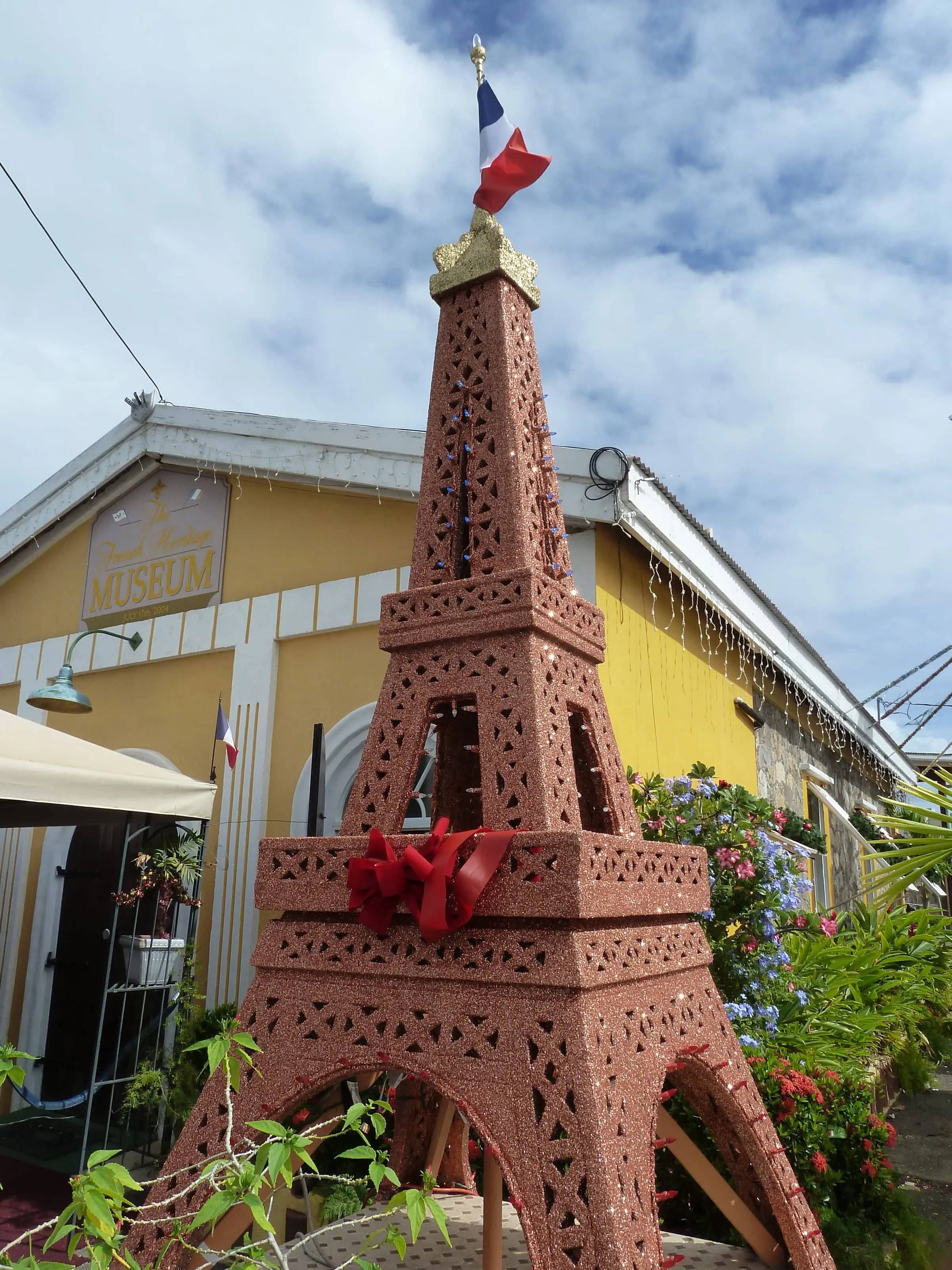
French Heritage Museum, Frenchtown
Frenchtown, St. Thomas
By Gruepig, CC BY-SA 4.0Resized to 2400px wide and re-encoded with metadata removed; the site crops it responsively.
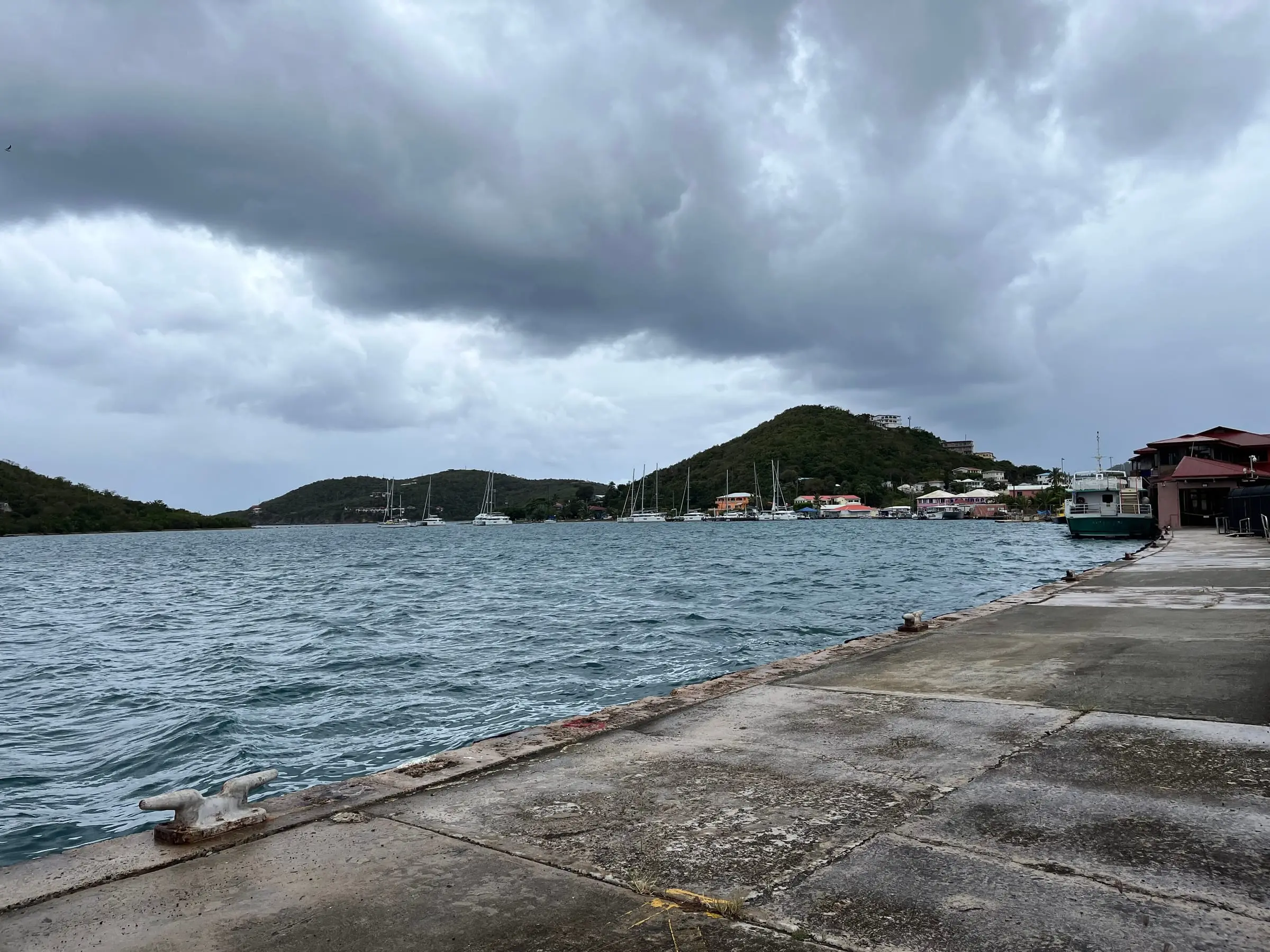
Frenchtown waterfront
Frenchtown, St. Thomas
By LittleT889, CC BY 4.0Resized to 2400px wide and re-encoded with metadata removed; the site crops it responsively.
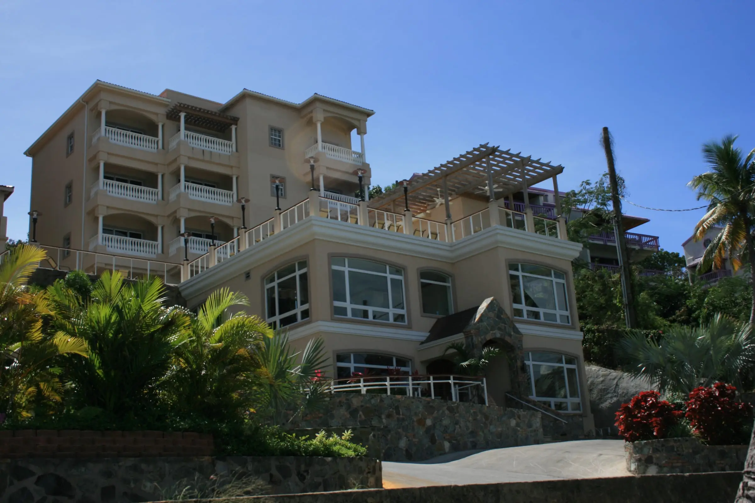
Grande Bay Resort
Cruz Bay, St. John
By motfemme, CC BY 2.0Resized to 2400px wide and re-encoded with metadata removed; the site crops it responsively.
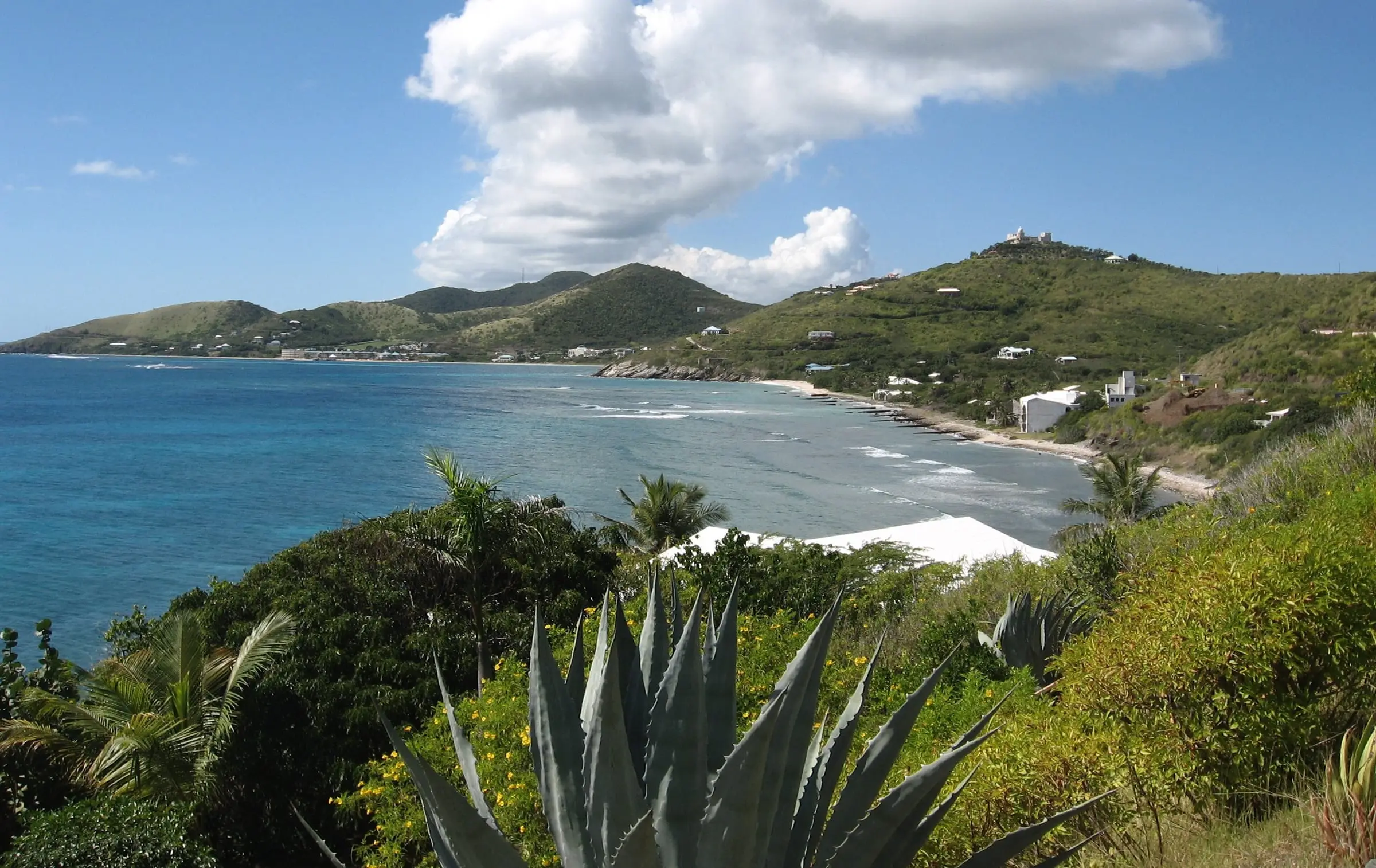
Grapetree Bay
Grapetree, East End, St. Croix
By Jason P. Heym, CC BY-SA 3.0Resized to 2400px wide and re-encoded with metadata removed; the site crops it responsively.
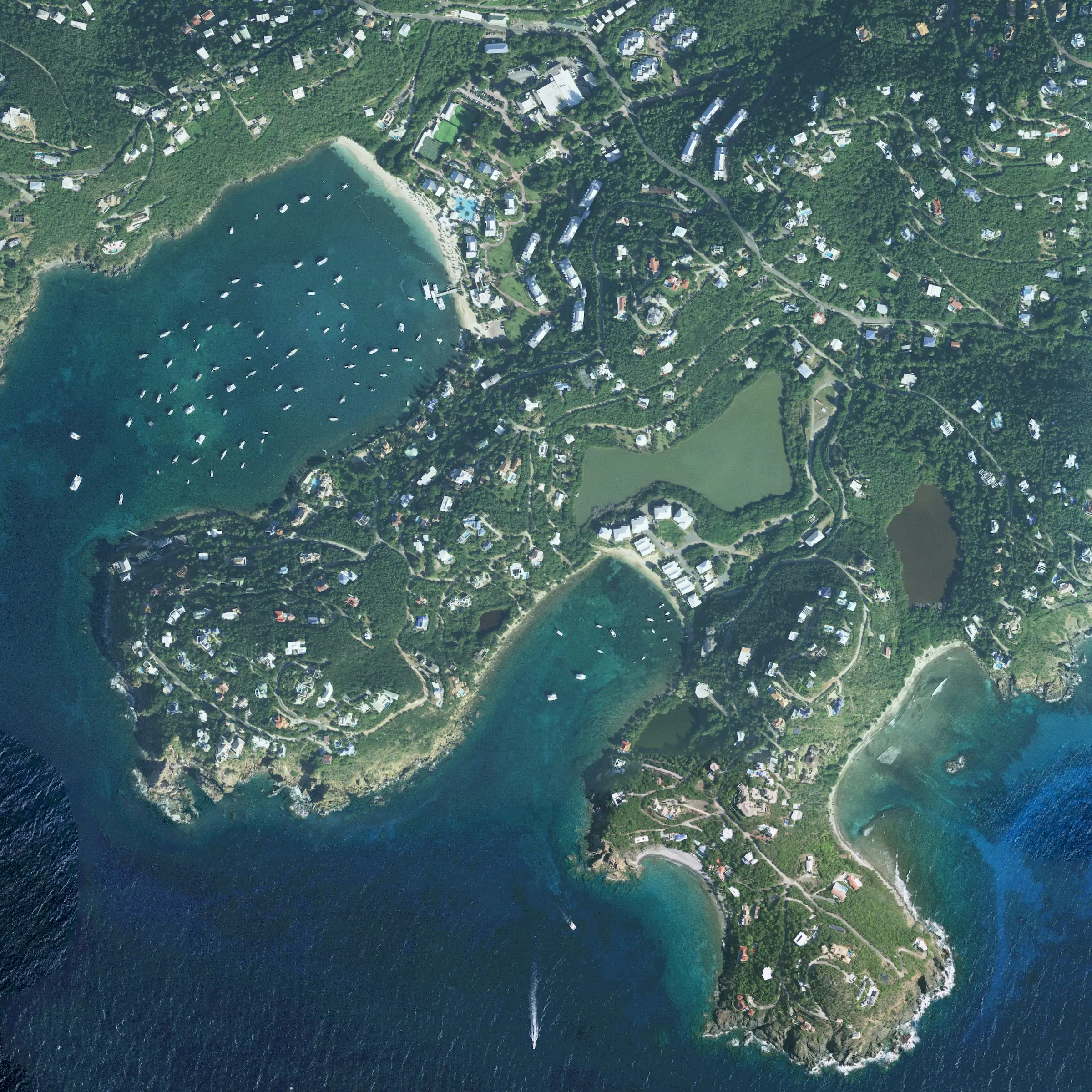
Great Cruz Bay and Chocolate Hole from above
Great Cruz Bay and Chocolate Hole, St. John
By USDA Farm Service Agency, Aerial Photography Field Office, and NOAA Office for Coastal Management (NAIP imagery), Public domain (U.S. government work)Cropped to the Great Cruz Bay and Chocolate Hole area from NAIP orthophoto tile M_1806442_ne_20_060_20221214, converted from a four-band TIFF to an RGB JPEG, resized to 2400px and metadata removed. The USDA asks to be credited in derived products.
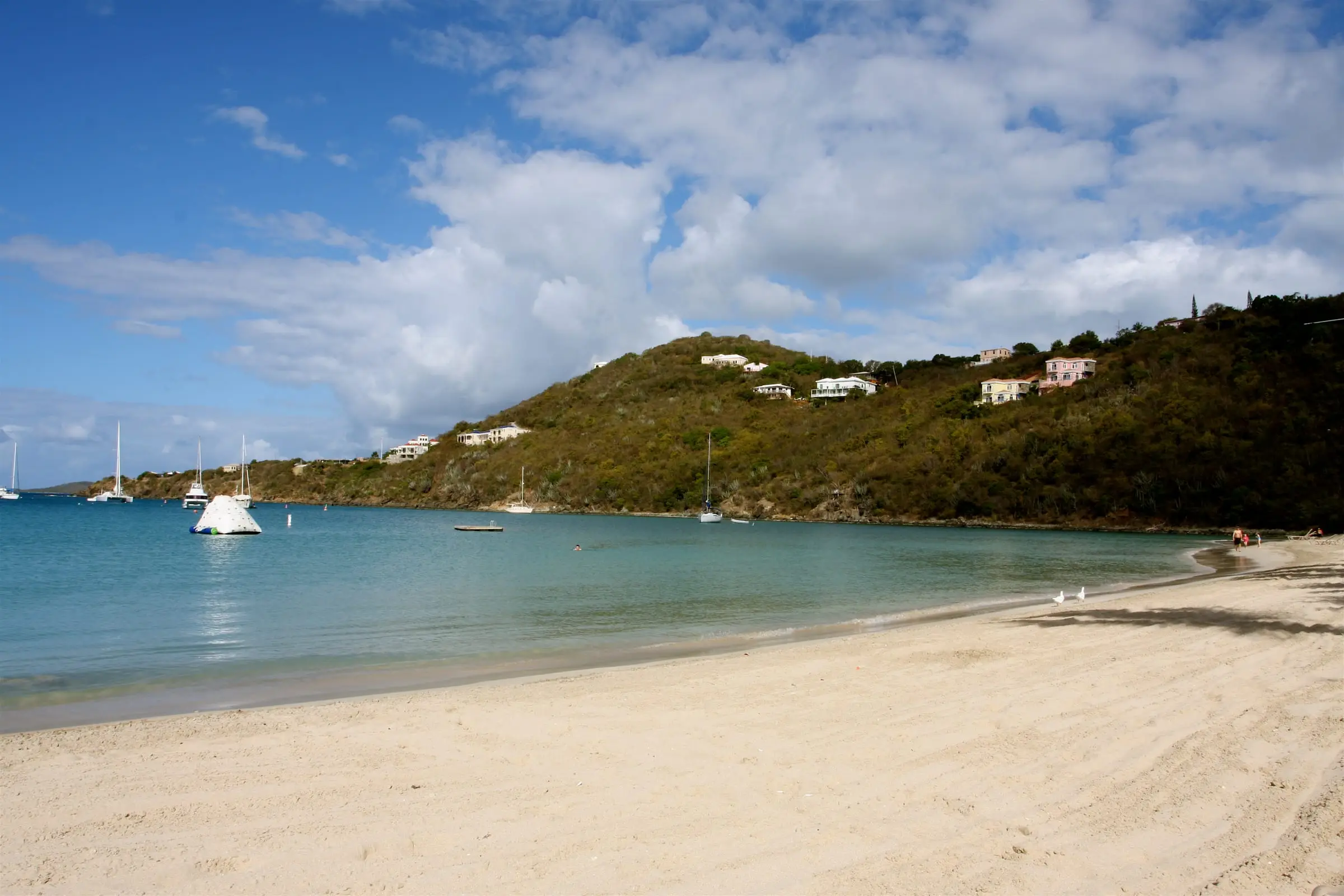
Great Cruz Bay beach
Great Cruz Bay, St. John
By TravelingOtter, CC BY-SA 2.0Resized to 2400px wide and re-encoded with metadata removed; the site crops it responsively.
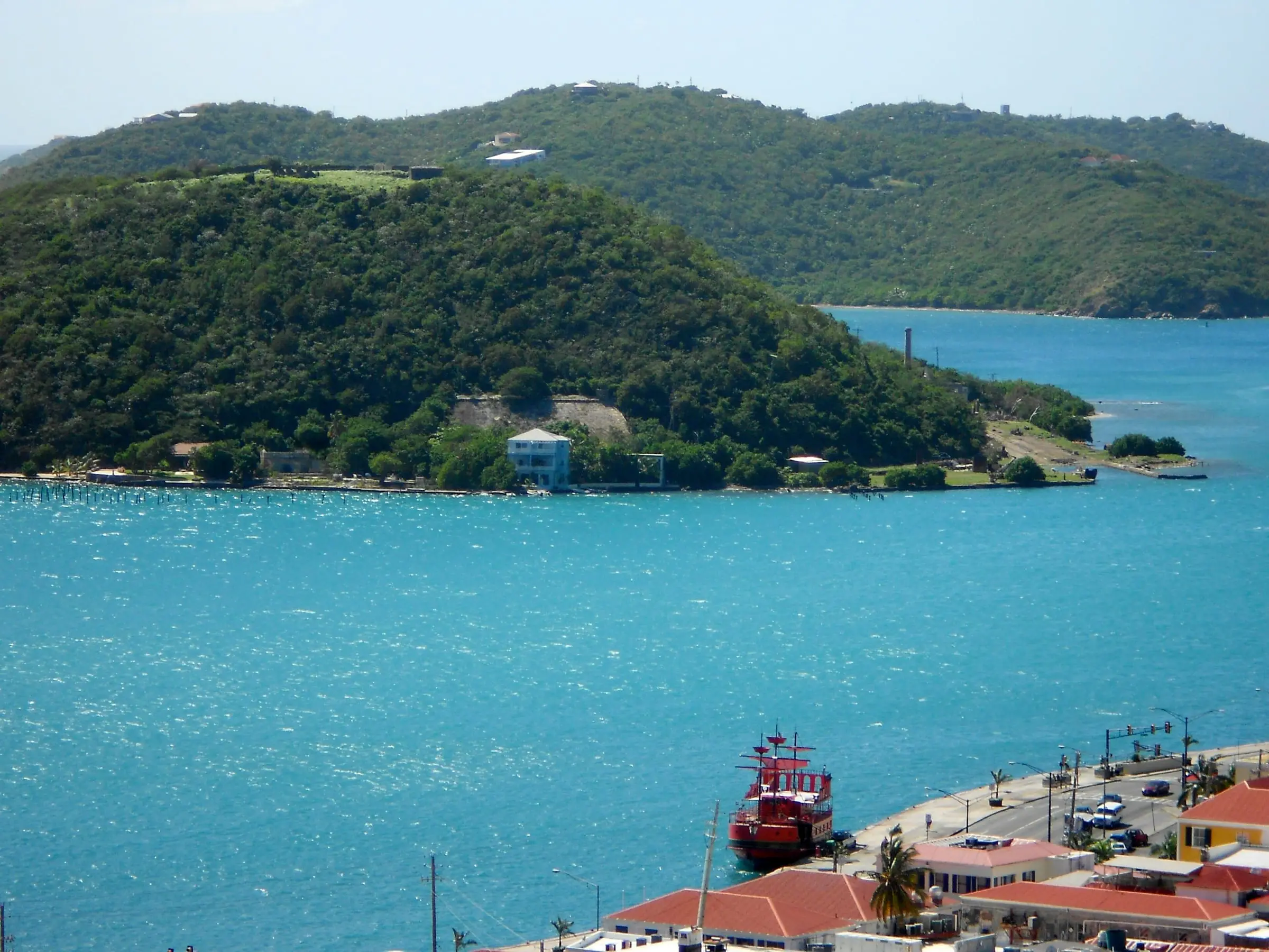
Hassel Island and St. Thomas Harbor
St. Thomas Harbor, Charlotte Amalie
By Smallbones, CC0Resized to 2400px wide and re-encoded with metadata removed; the site crops it responsively.
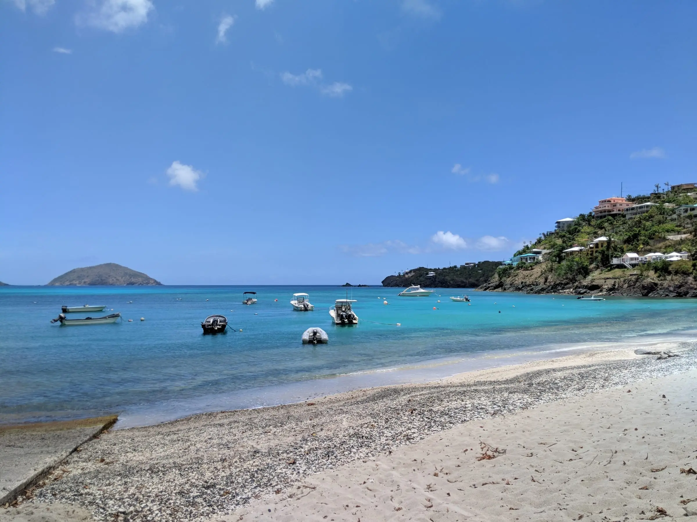
Hull Bay
Hull Bay, St. Thomas
By Gruepig, CC BY-SA 4.0Resized to 2400px wide and re-encoded with metadata removed; the site crops it responsively.
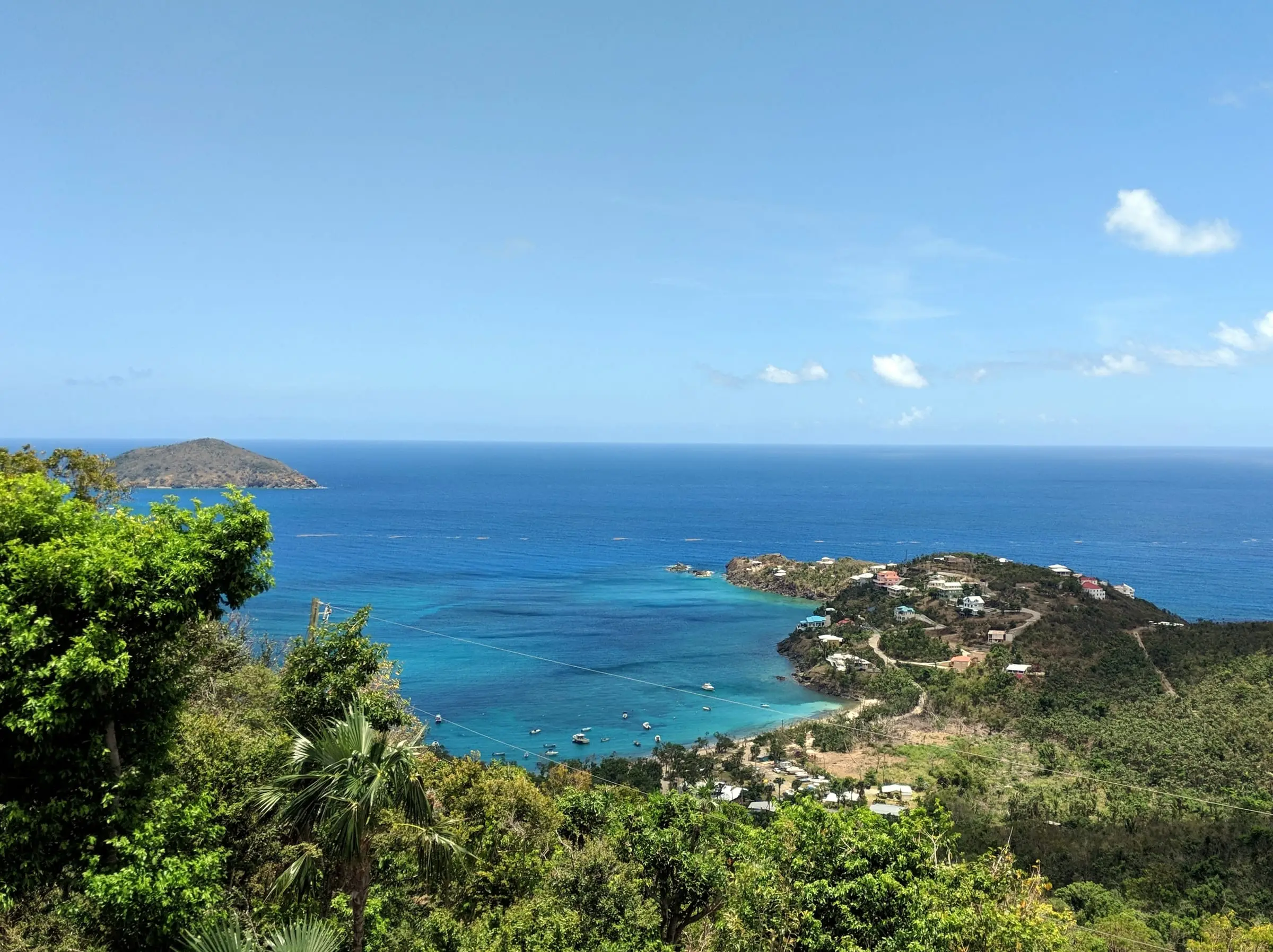
Hull Bay from the overlook
Hull Bay, St. Thomas
By Gruepig, CC BY-SA 4.0Resized to 2400px wide and re-encoded with metadata removed; the site crops it responsively.
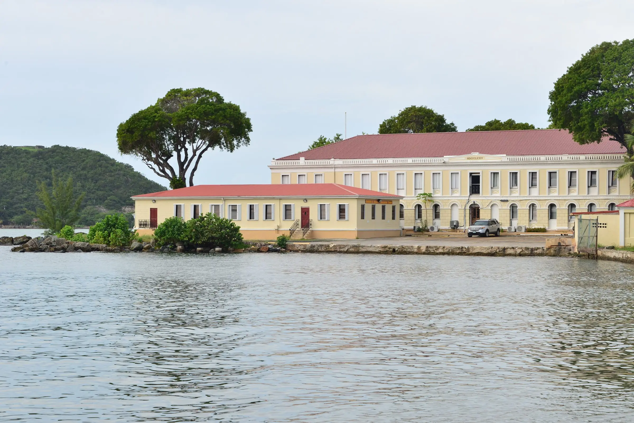
Legislature Building
Charlotte Amalie, St. Thomas
By Андрей Бобровский, CC BY 3.0Resized to 2400px wide and re-encoded with metadata removed; the site crops it responsively.
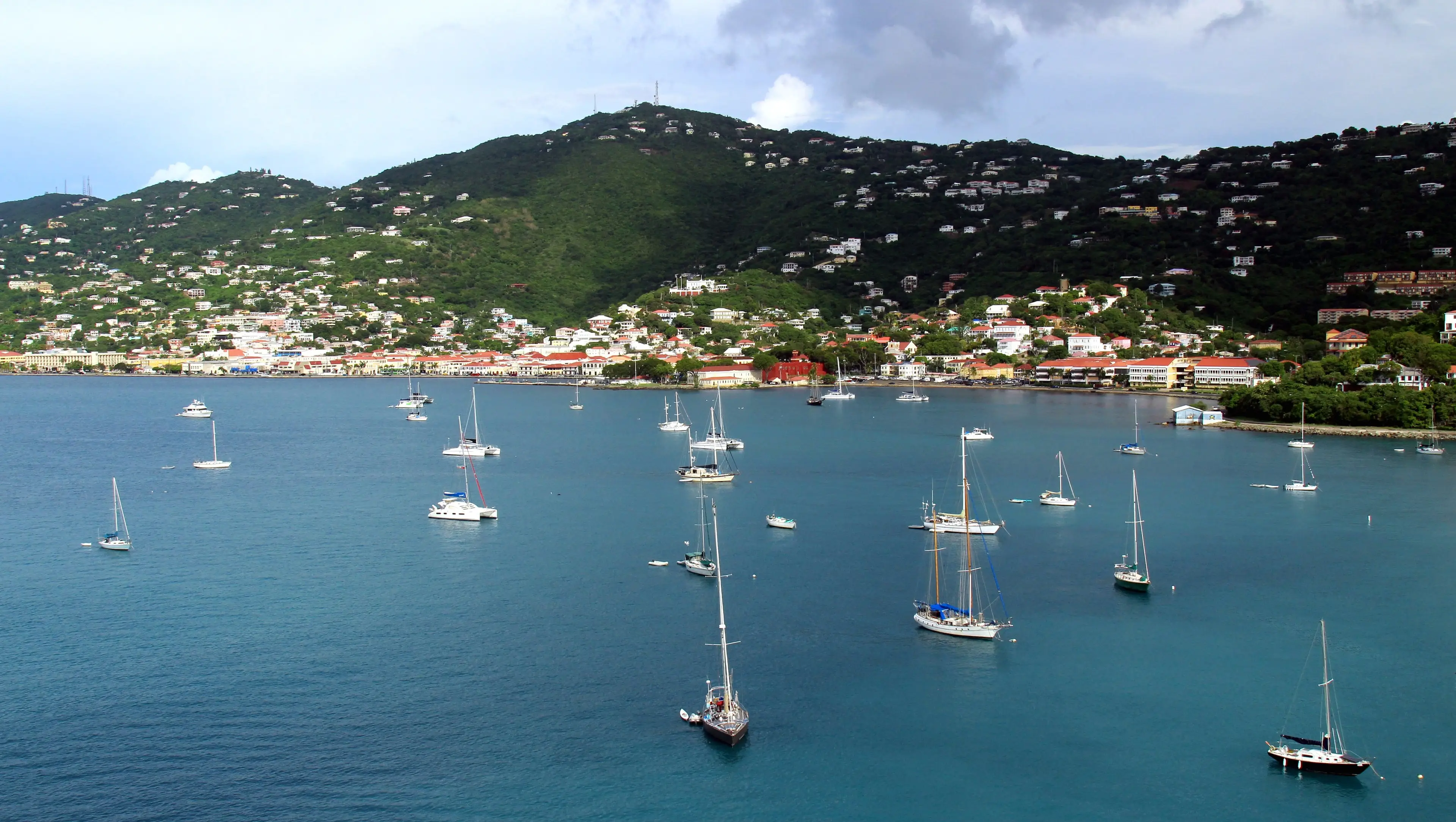
Long Bay, Charlotte Amalie
Long Bay, Charlotte Amalie, St. Thomas
By Prayitno, CC BY 2.0Resized from the 5184px original to 3840px wide and re-encoded with metadata removed; the site crops it responsively, including a 9:16 crop for portrait screens. No AI upscaling or retouching.
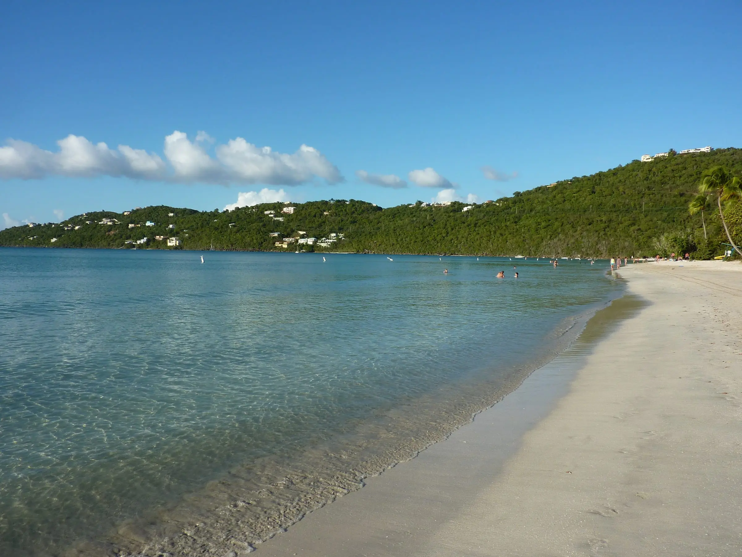
Magens Bay facing Peterborg
Magens Bay, St. Thomas
By Gruepig, CC BY-SA 3.0Resized to 2400px wide and re-encoded with metadata removed; the site crops it responsively.
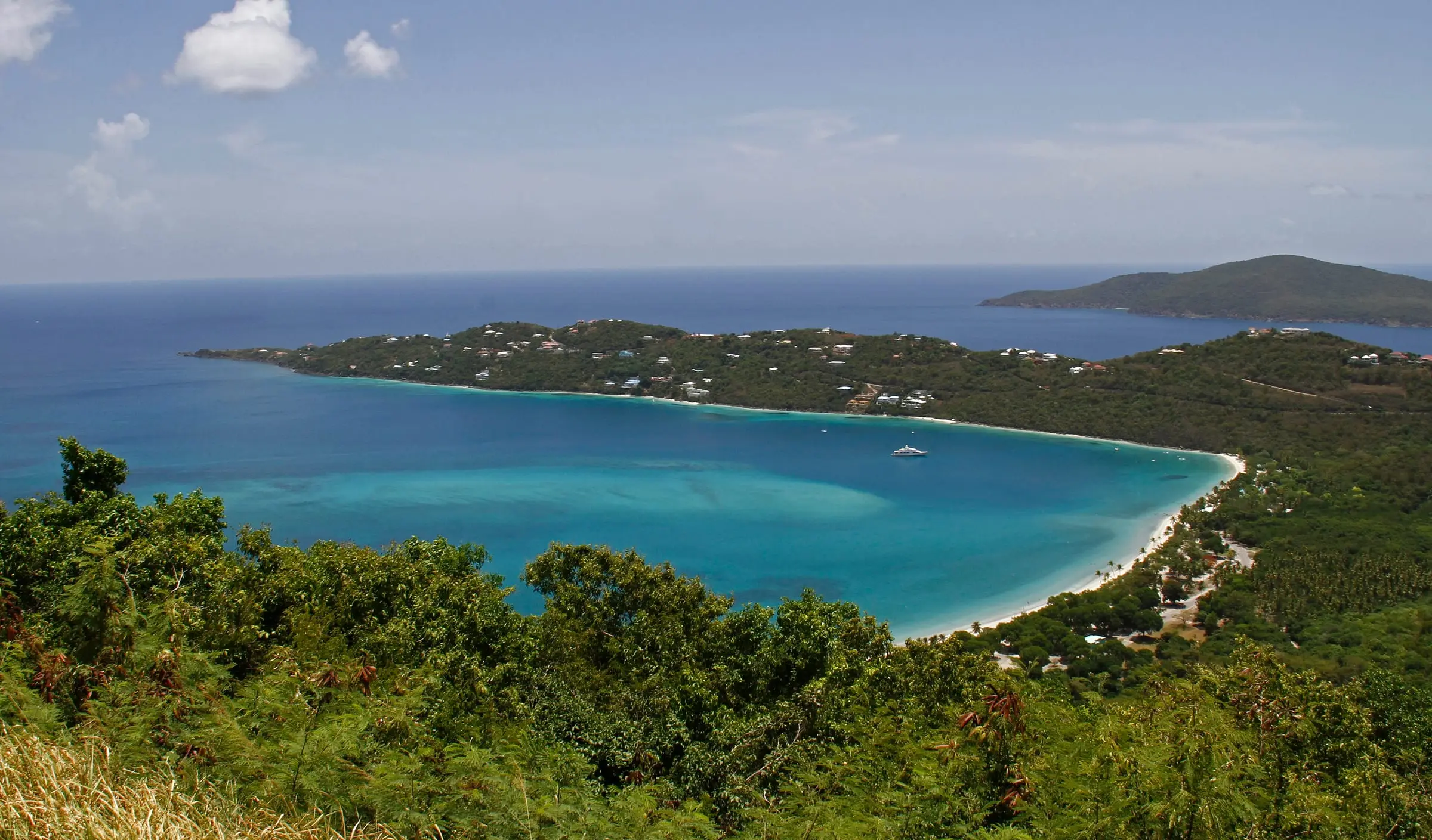
Magens Bay from above
Magens Bay, St. Thomas
By dbking, CC BY 2.0Resized to 2400px wide and re-encoded with metadata removed; the site crops it responsively.
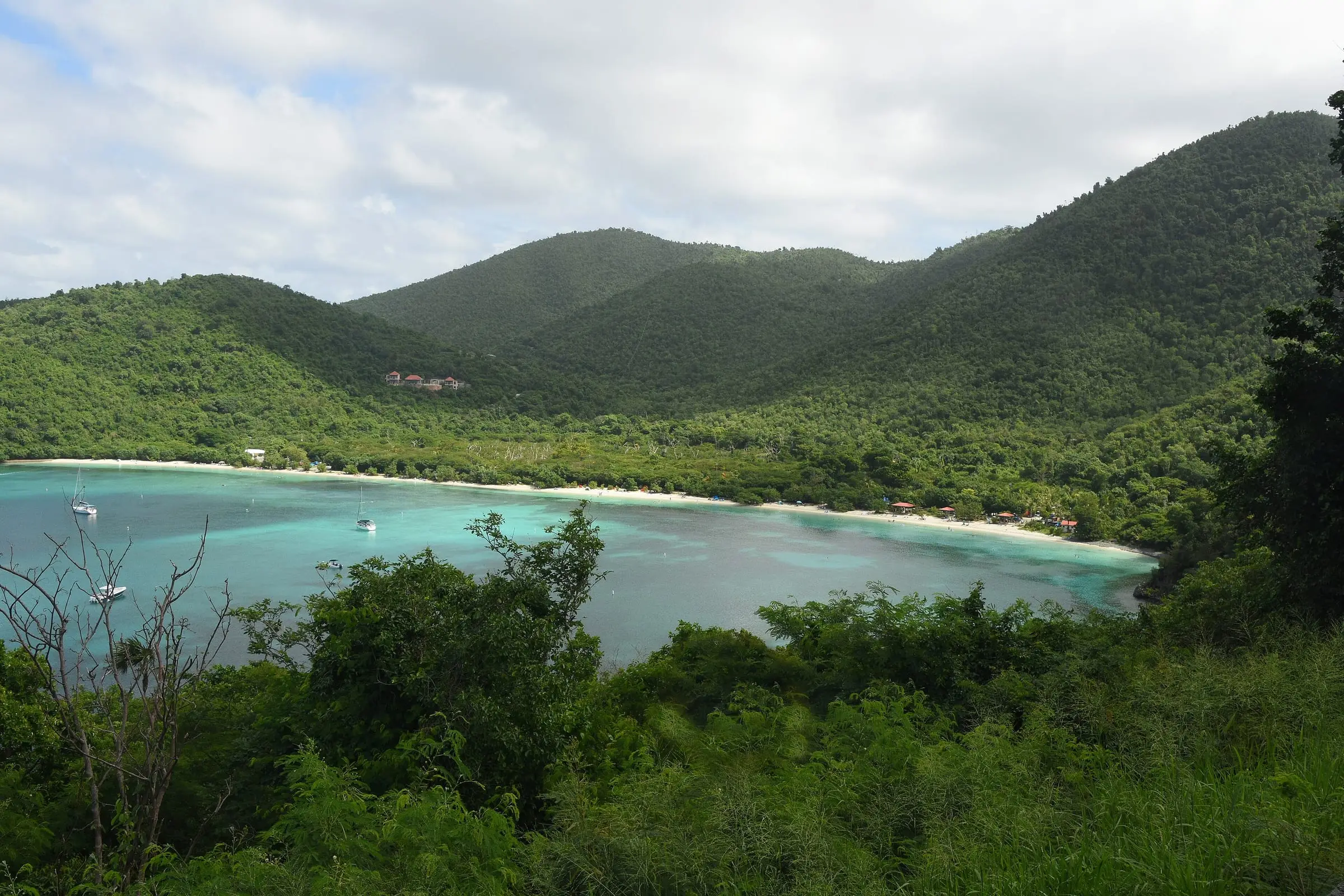
Maho Bay
Maho Bay, St. John
By Amaury Laporte, CC BY 2.0Resized to 2400px wide and re-encoded with metadata removed; the site crops it responsively.
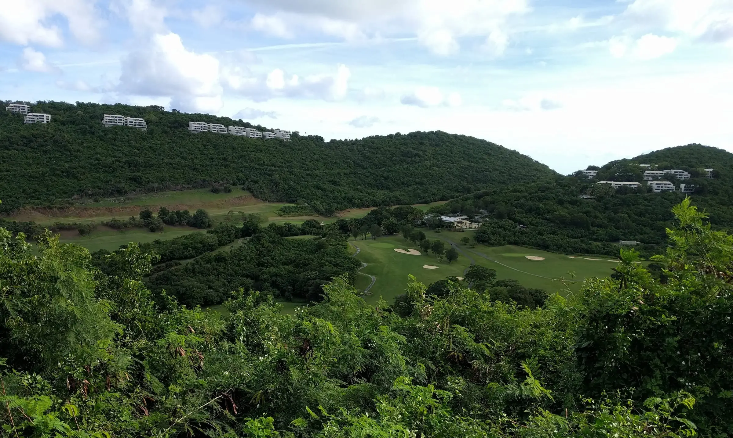
Mahogany Run
Mahogany Run, St. Thomas
By Gruepig, CC BY-SA 4.0Resized to 2400px wide and re-encoded with metadata removed; the site crops it responsively.
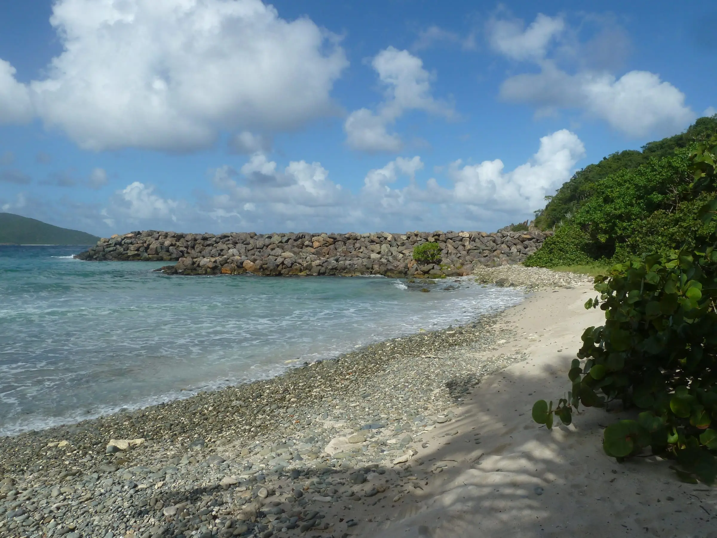
Mandahl Bay Beach
Mandahl Bay, St. Thomas
By Gruepig, CC BY-SA 4.0Resized to 2400px wide and re-encoded with metadata removed; the site crops it responsively.
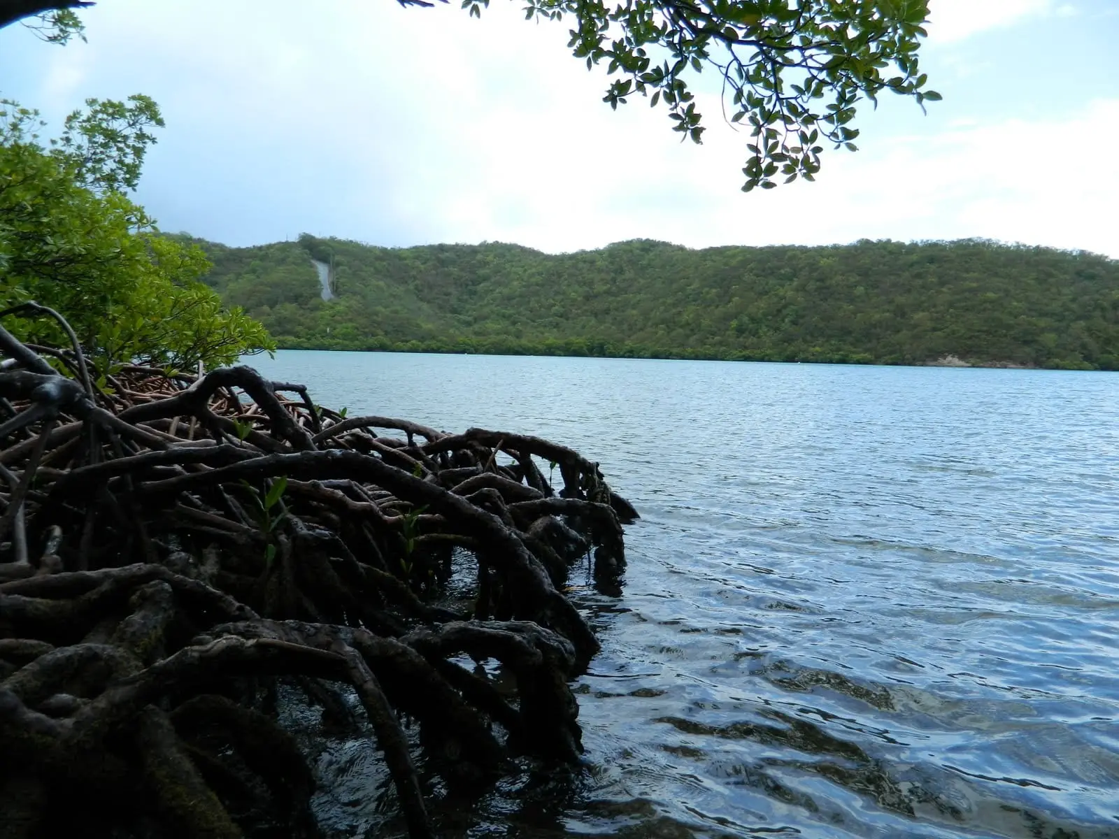
Mangroves at Hurricane Hole
Hurricane Hole, St. John
By olekinderhook, CC BY 3.0Re-encoded with metadata removed (not resized); the site crops it responsively.
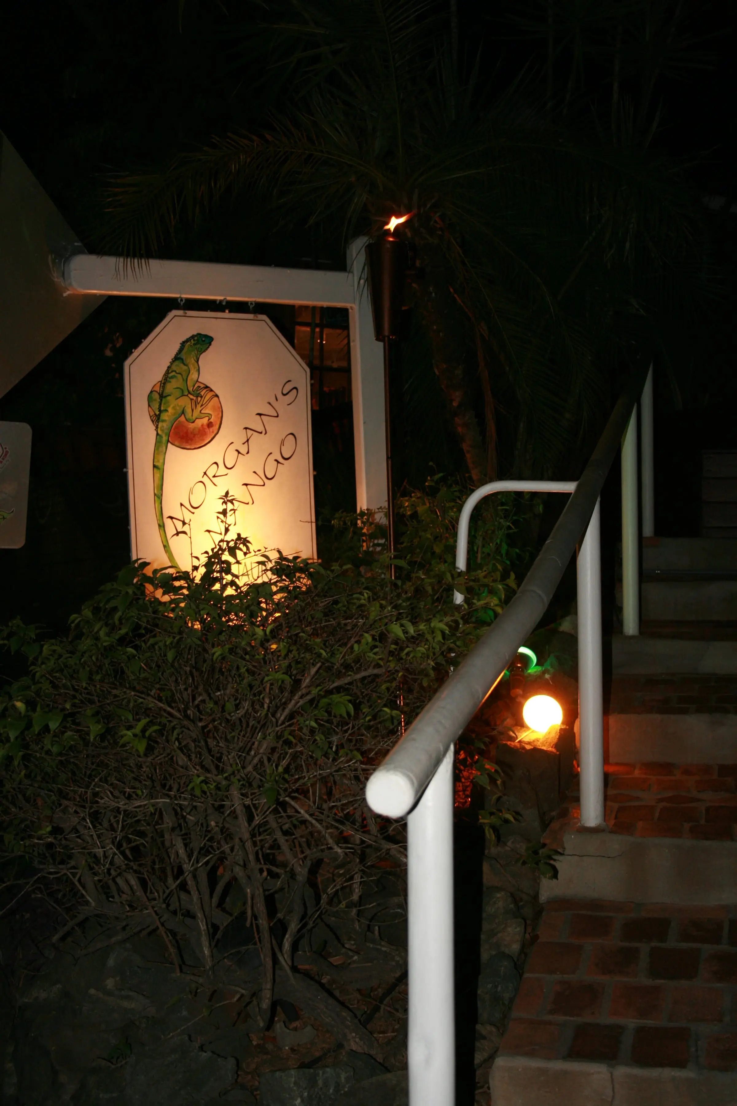
Morgan's Mango
Cruz Bay, St. John
By motfemme, CC BY 2.0Resized to 2400px wide and re-encoded with metadata removed; the site crops it responsively.
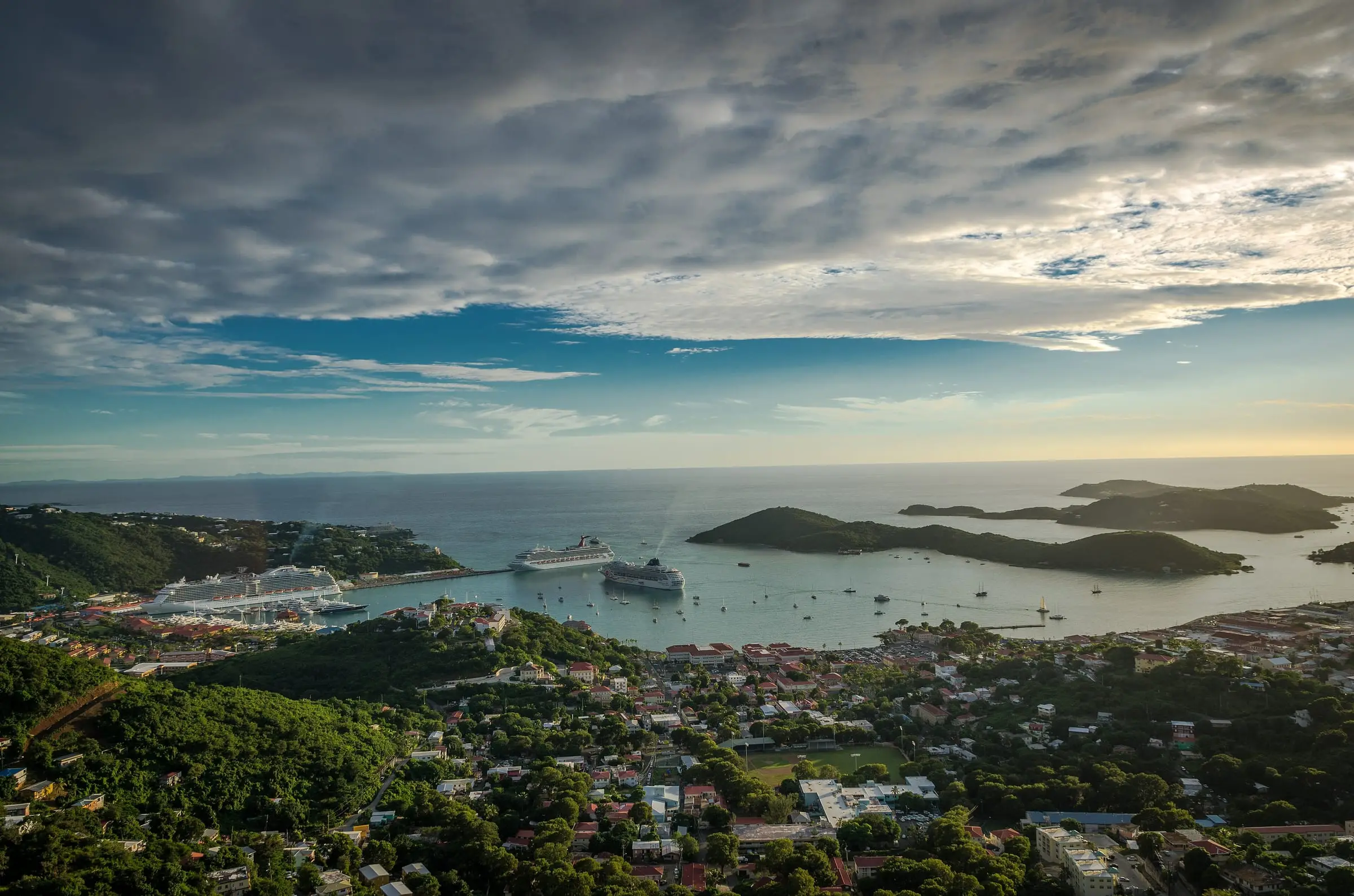
Panoramic view of St. Thomas
St. Thomas
By Sunil Pereira, CC BY-SA 3.0Resized to 2400px wide and re-encoded with metadata removed; the site crops it responsively.
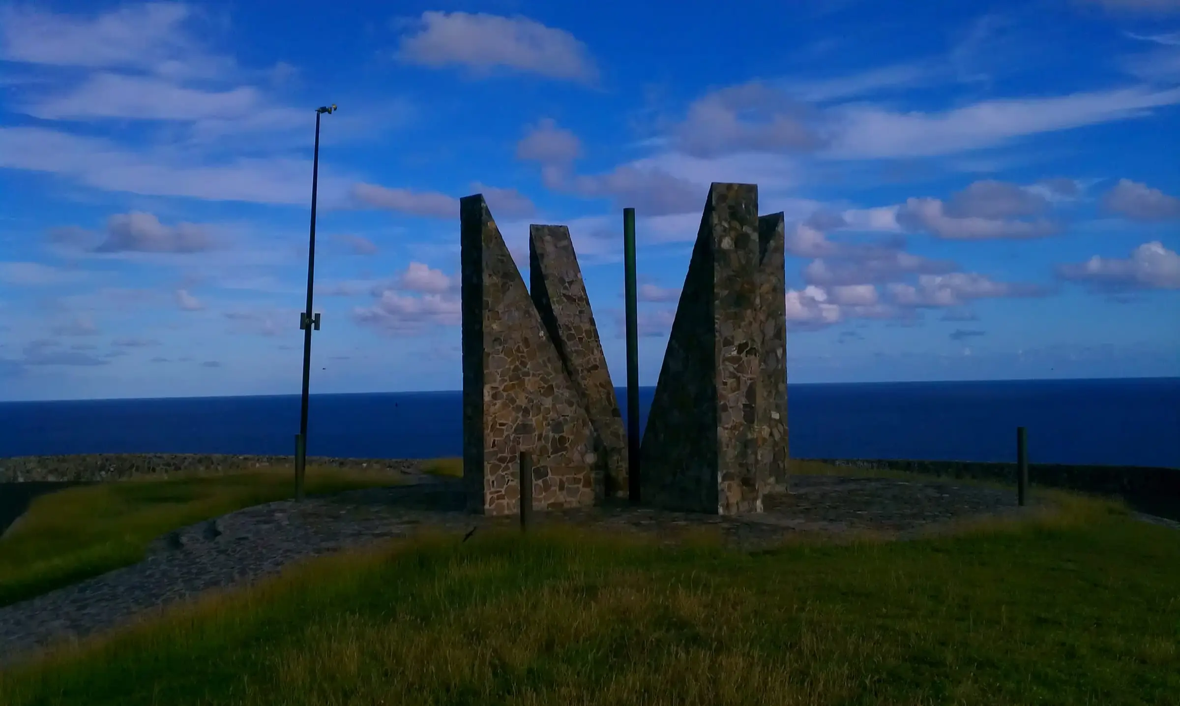
Point Udall
Point Udall, East End, St. Croix
By Aaron Cortina, CC BY 3.0Resized to 2400px wide and re-encoded with metadata removed; the site crops it responsively.
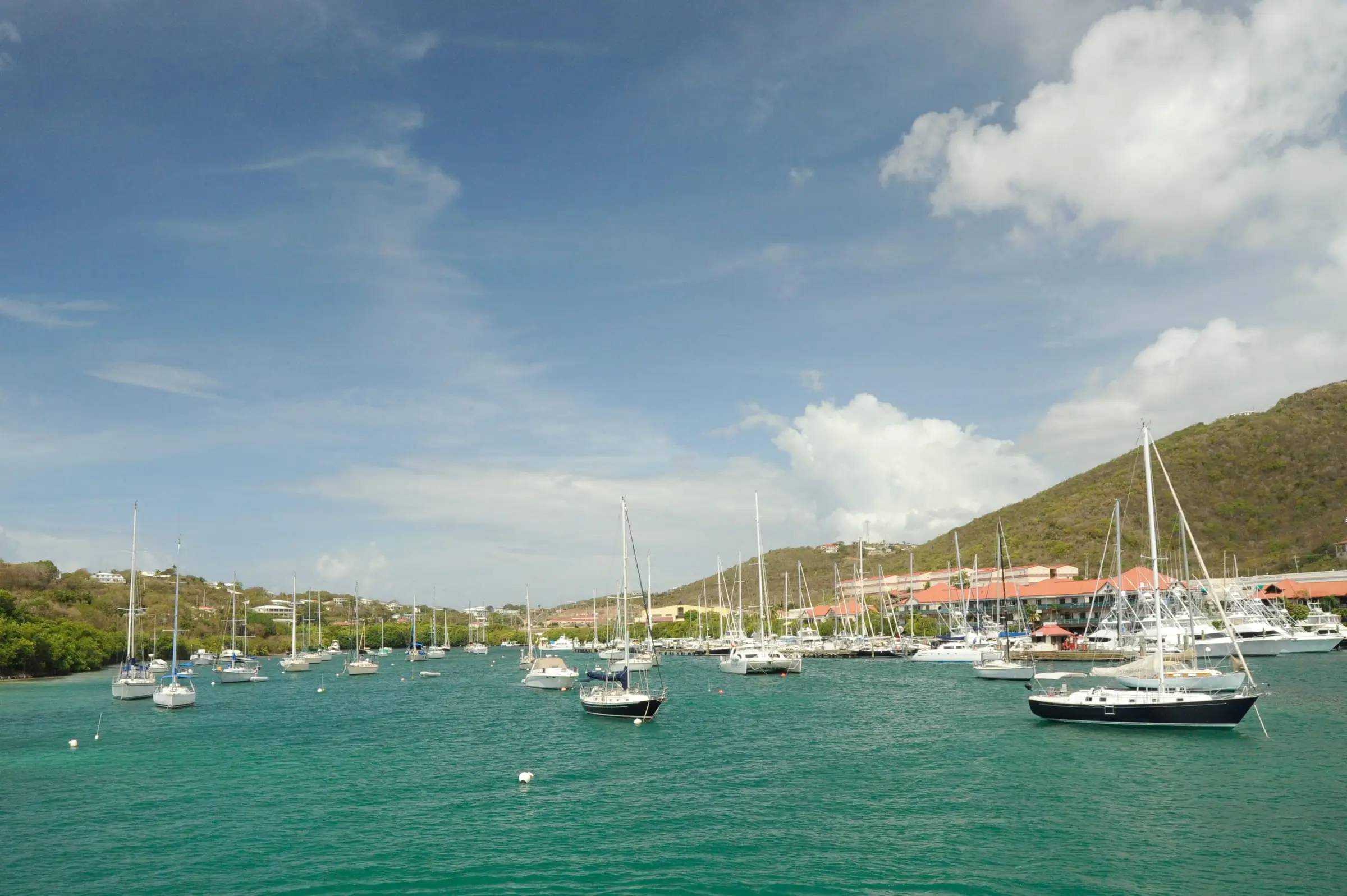
Red Hook Bay
Red Hook, St. Thomas
By Fred Hsu, CC BY-SA 3.0Resized to 2400px wide and re-encoded with metadata removed; the site crops it responsively.
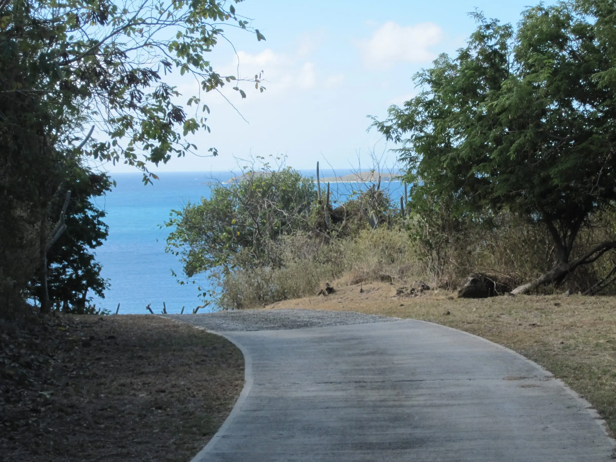
Road down to Round Bay
East End, St. John
By Thomas Kriese, CC BY 2.0Resized to 2400px wide and re-encoded with metadata removed; the site crops it responsively.
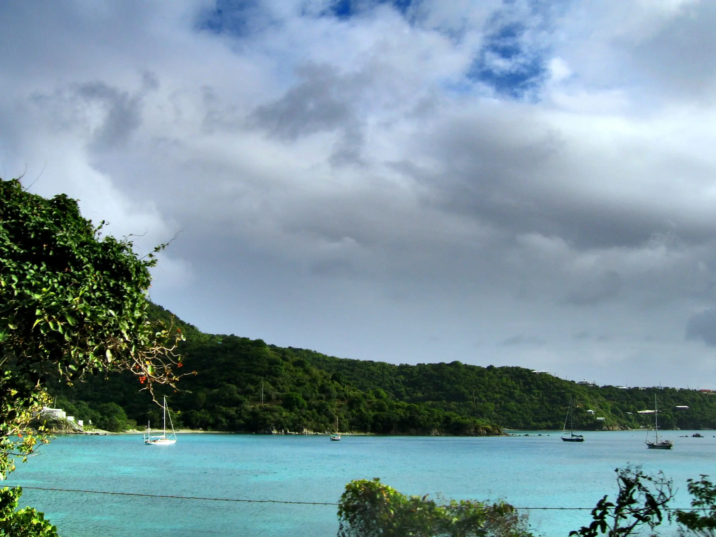
Round Bay shoreline
Round Bay, East End, St. John
By Joe Lin, CC BY 2.0Resized to 2400px wide and re-encoded with metadata removed; the site crops it responsively.
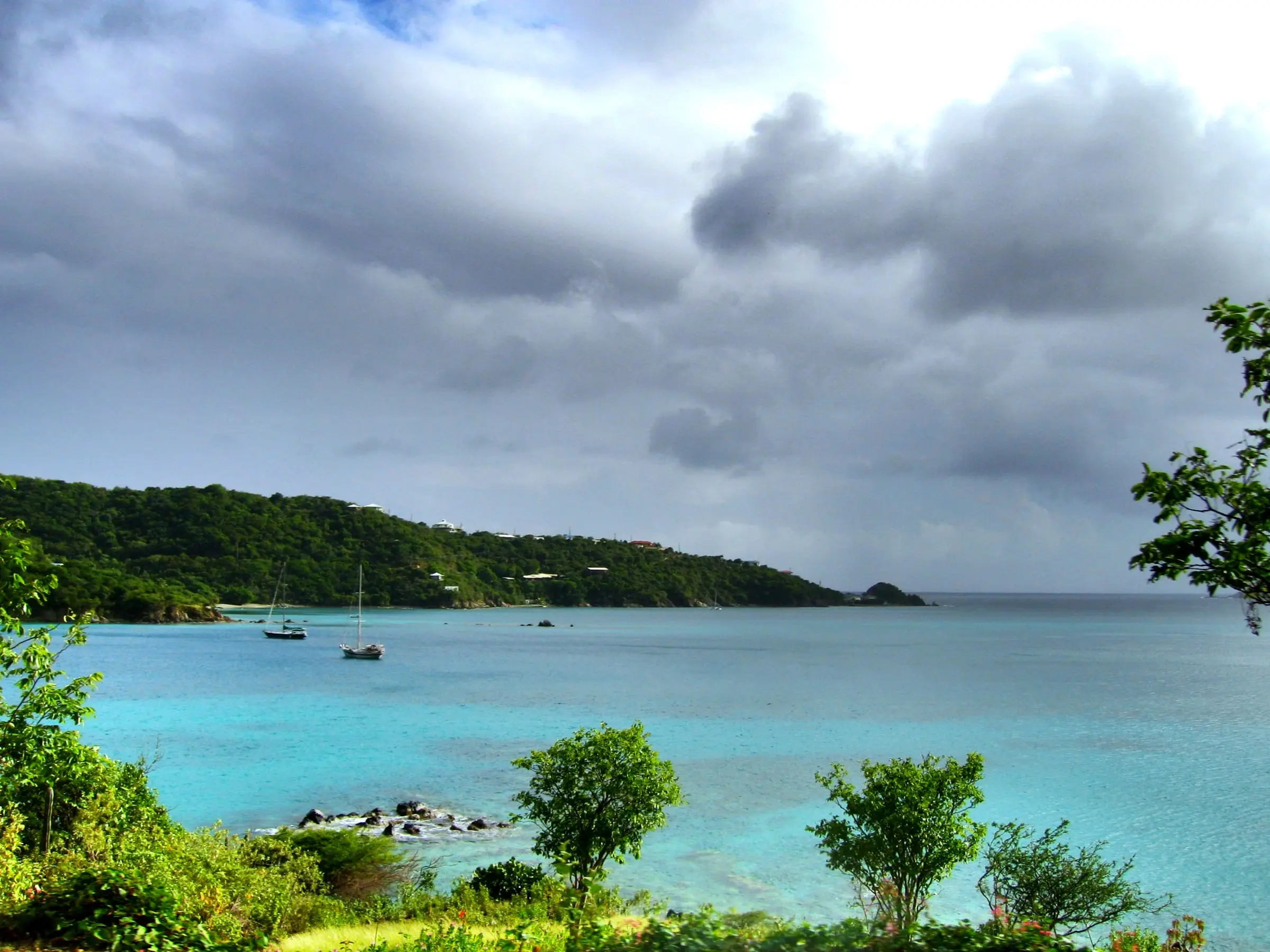
Round Bay, East End
Round Bay, East End, St. John
By Joe Lin, CC BY 2.0Resized to 2400px wide and re-encoded with metadata removed; the site crops it responsively.
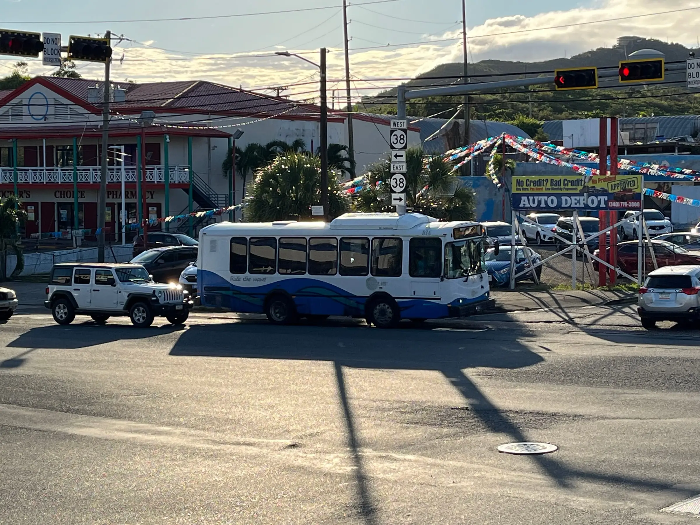
Route 38, Anna's Retreat
Anna's Retreat, St. Thomas
By LittleT889, CC BY 4.0Resized to 2400px wide and re-encoded with metadata removed; the site crops it responsively.
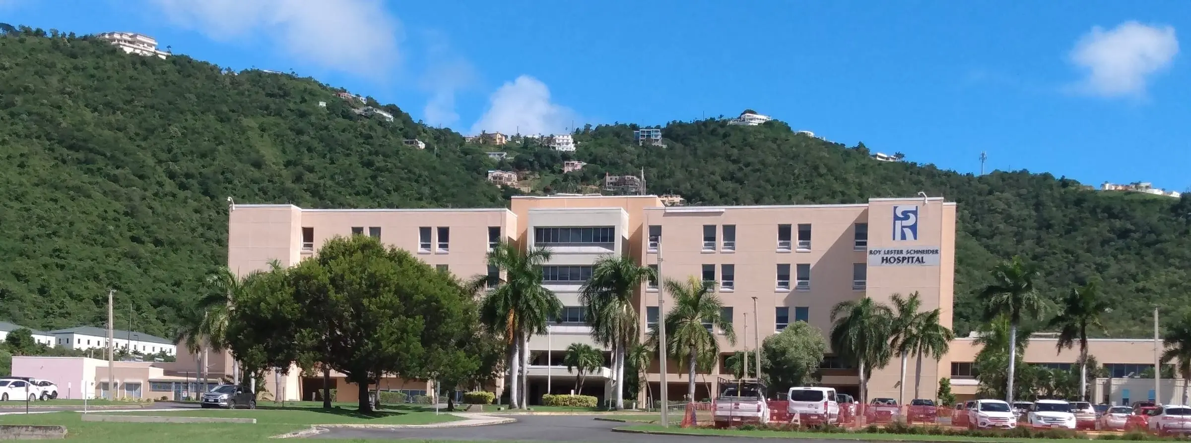
Roy Lester Schneider Hospital
Charlotte Amalie, St. Thomas
By Calettso2, CC0Resized to 2400px wide and re-encoded with metadata removed; the site crops it responsively.
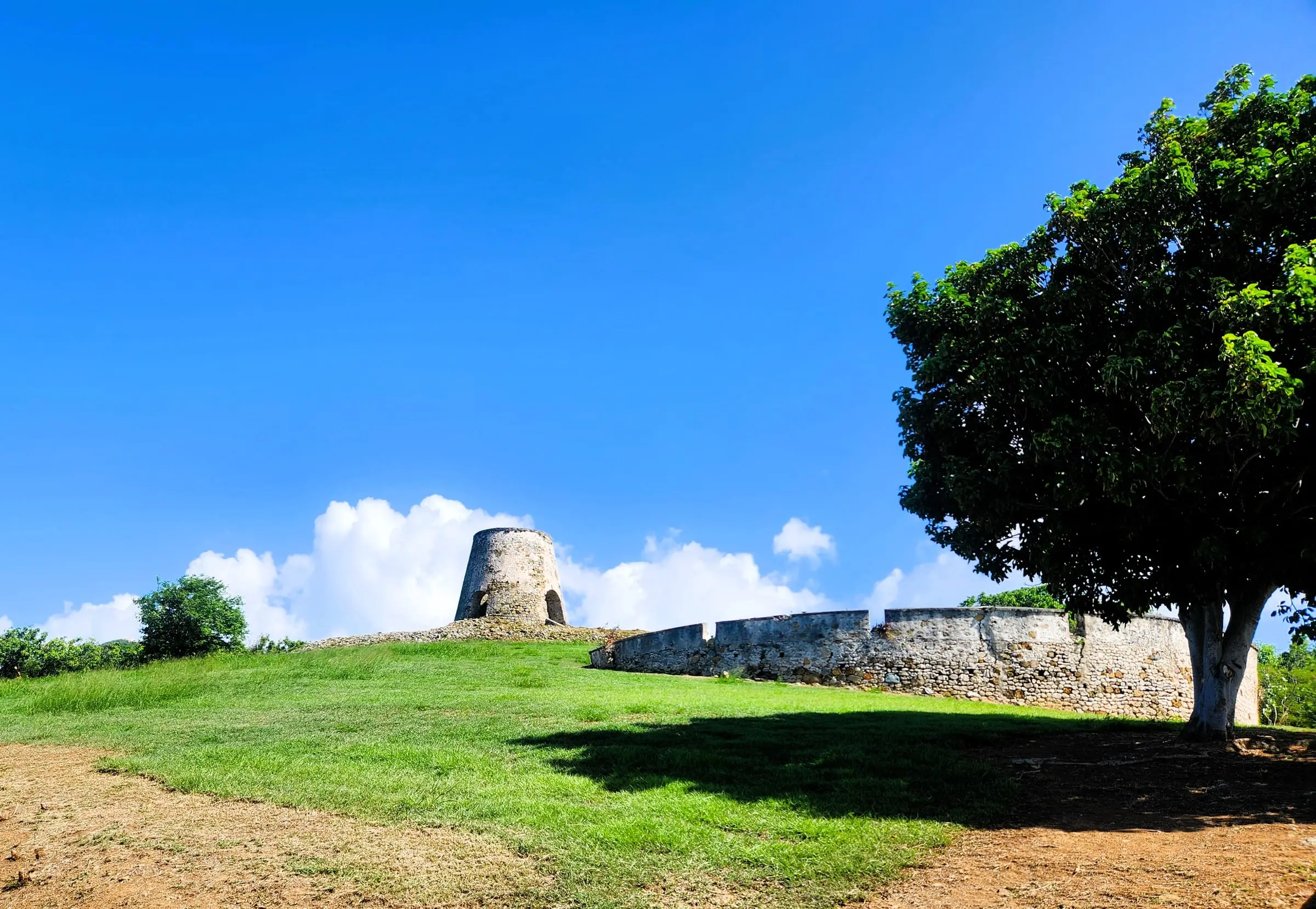
Rust Op Twist sugar mill
Cane Bay, St. Croix
By CaptJayRuffins, CC BY-SA 4.0Resized to 2400px wide and re-encoded with metadata removed; the site crops it responsively.
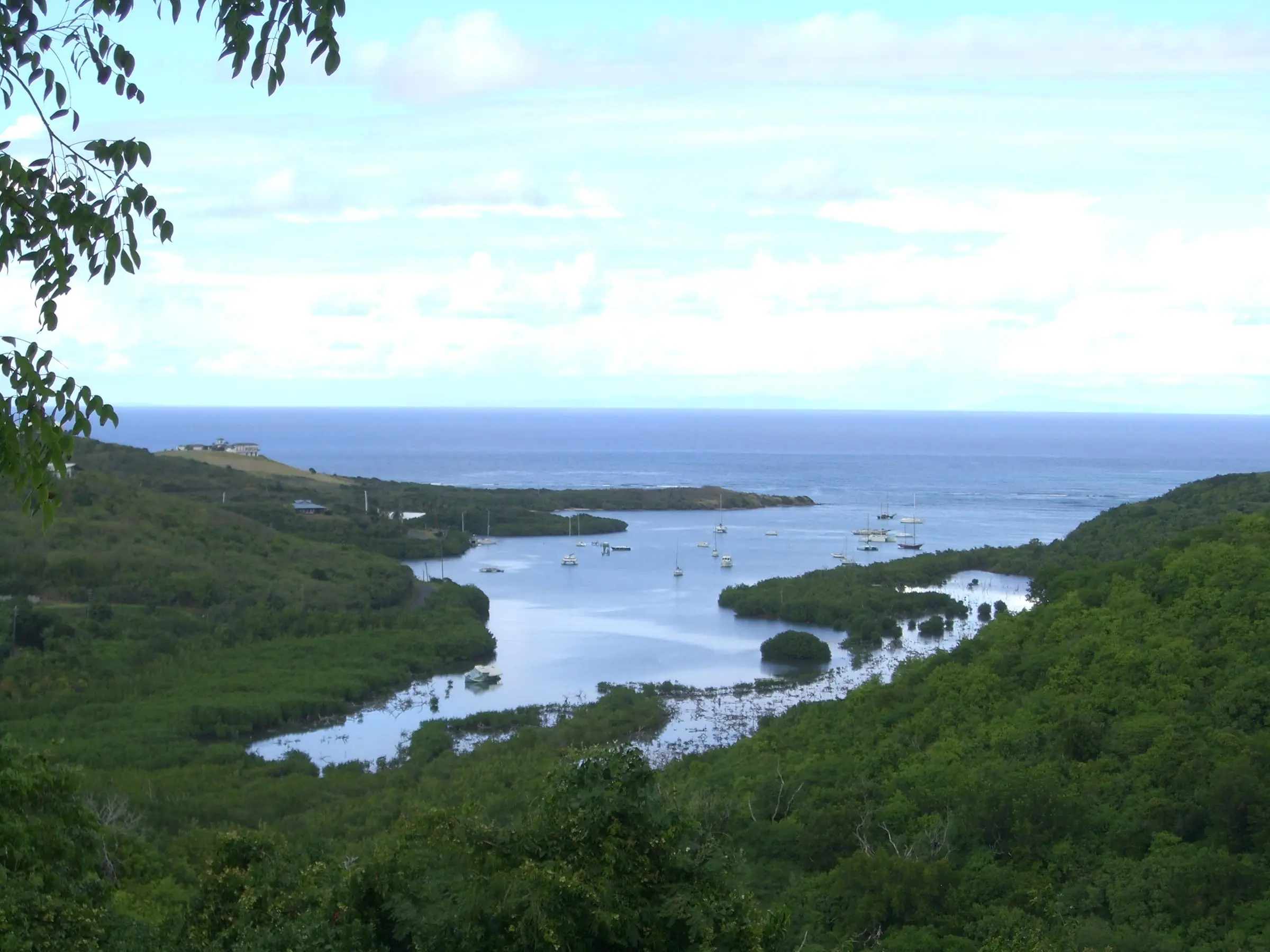
Salt River Bay
Salt River Bay, St. Croix
By Kborer, Public domainResized to 2400px wide and re-encoded with metadata removed; the site crops it responsively.
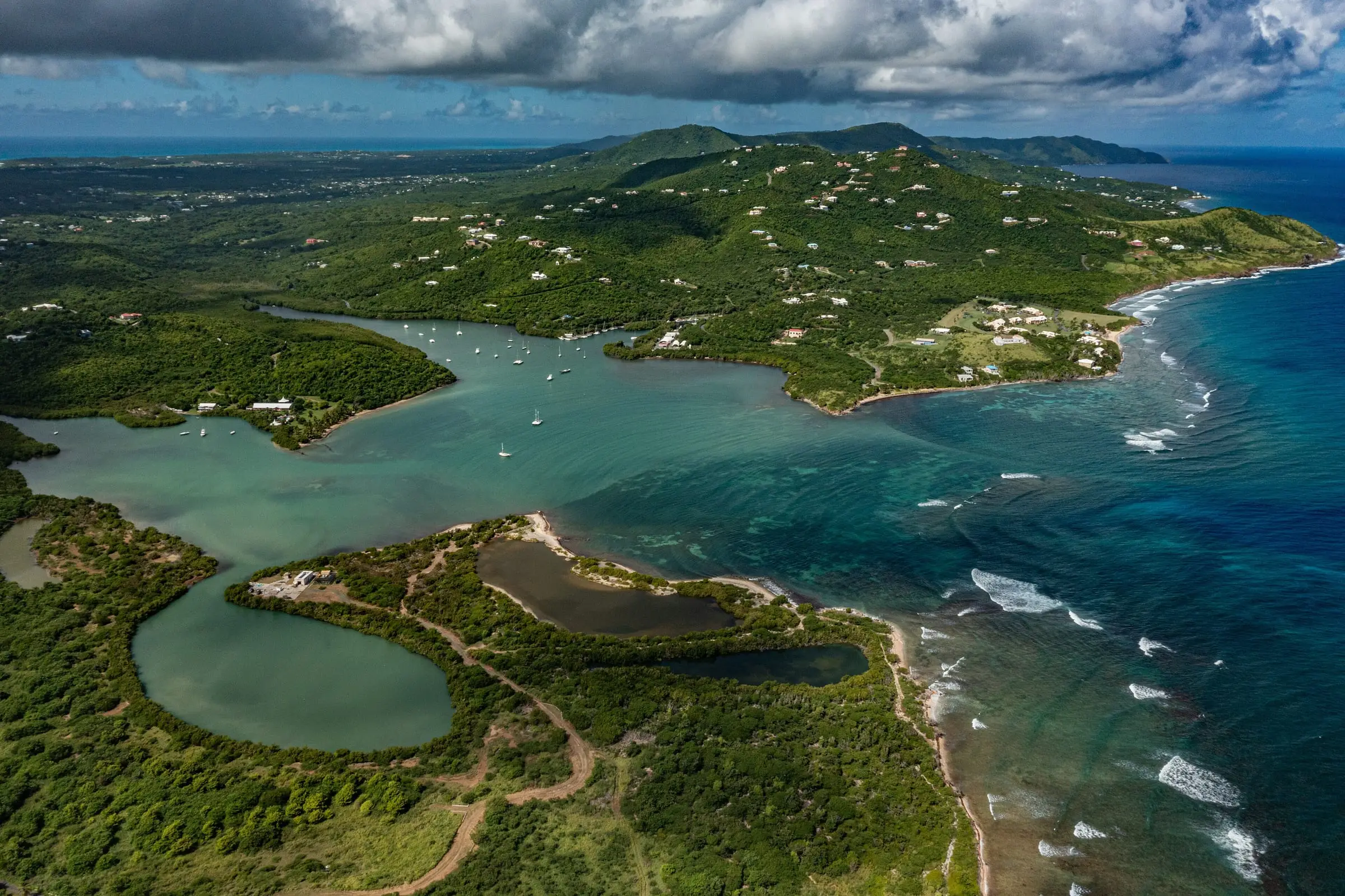
Salt River Bay
Salt River Bay, St. Croix
By Alchematics, CC BY-SA 4.0Resized to 2400px wide and re-encoded with metadata removed; the site crops it responsively.
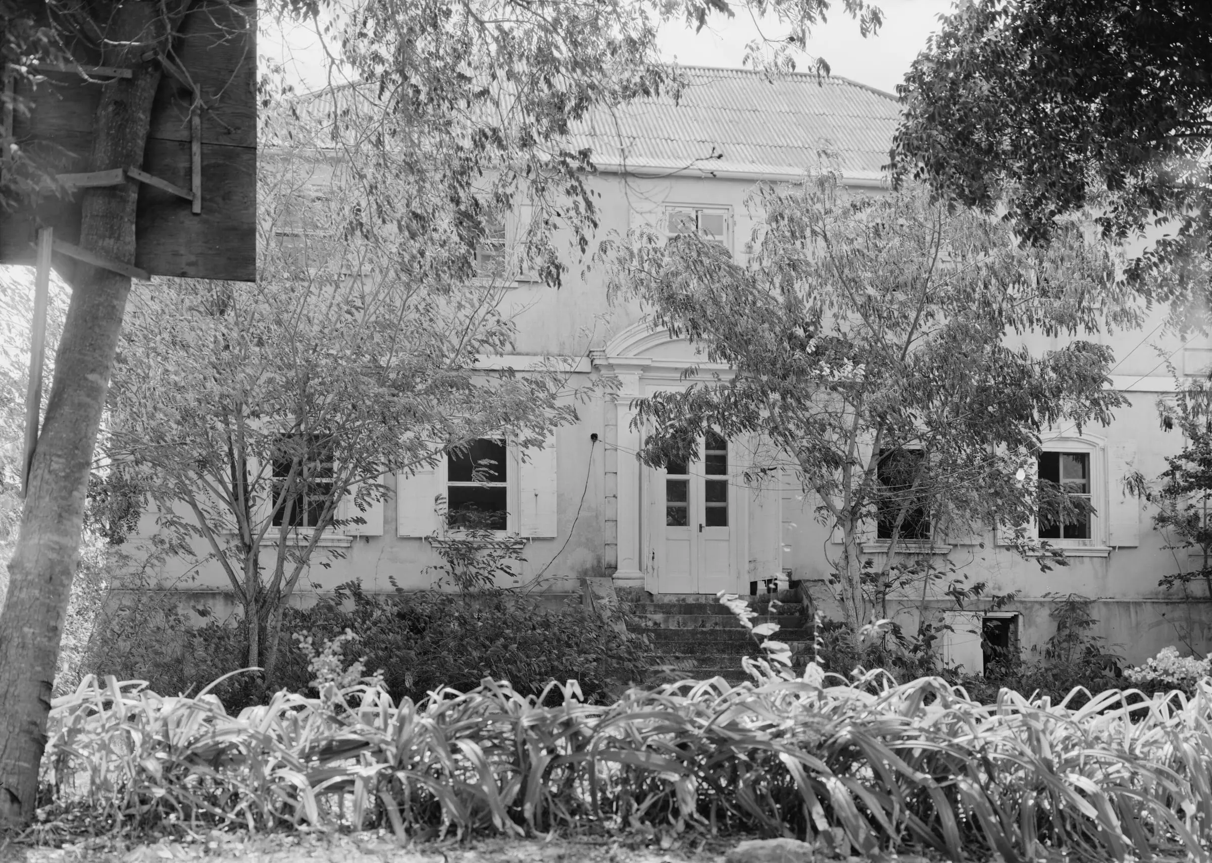
Sion Farm Great House (HABS)
Sion Farm, St. Croix
By Jack Boucher, Historic American Buildings Survey (Library of Congress), Public domainConverted from the Library of Congress TIFF via the Wikimedia Commons JPEG rendering, cropped to remove the survey film border and label, resized to 2400px wide and re-encoded with metadata removed. Undated archival photo (HABS survey VI-60), not a current view.
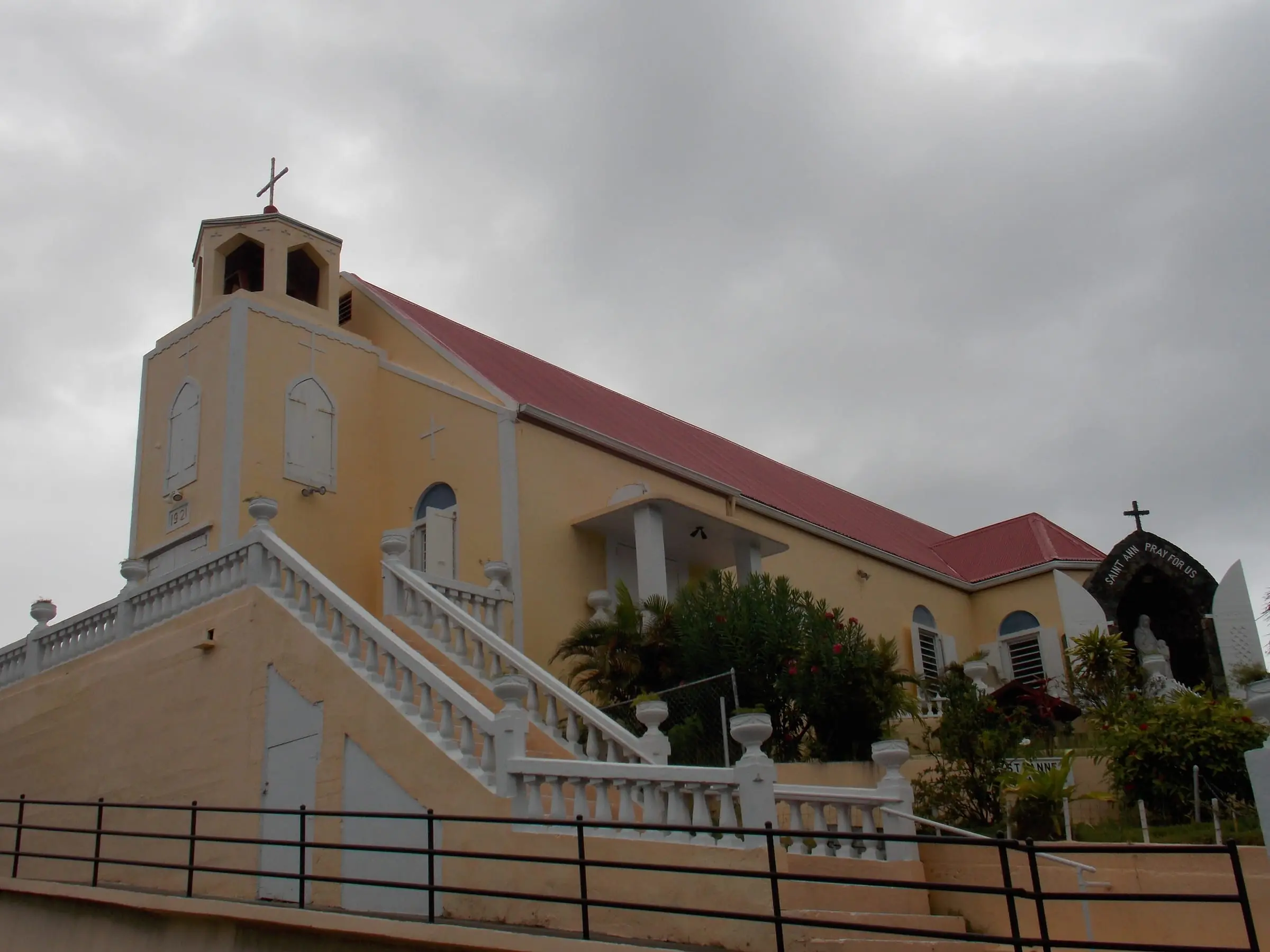
St. Anne's Chapel, Frenchtown
Frenchtown, St. Thomas
By Farragutful, CC BY-SA 4.0Resized to 2400px wide and re-encoded with metadata removed; the site crops it responsively.
St. Thomas from the air
South coast of St. Thomas, from a departing flight
By Kaalomai Kirdani, CC BY 3.0Trimmed to 12 seconds (0:33.5 to 0:45.5), cropped to remove the window edge and a reflection, scaled to 960 by 640, crossfaded into an 11-second loop, sound removed. The still is the loop's first frame.
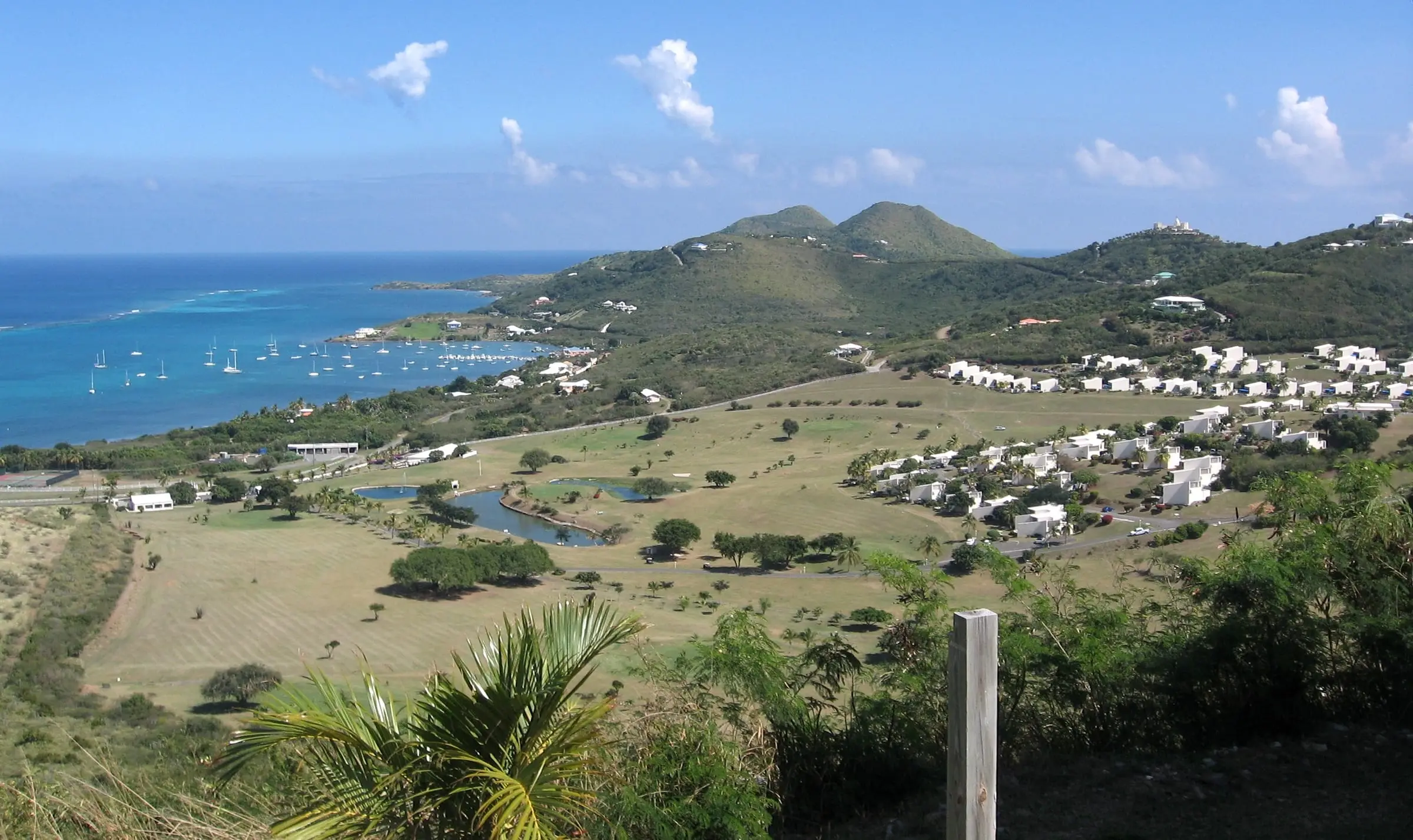
Teague Bay, East End of St. Croix
Teague Bay, East End, St. Croix
By Jason P. Heym, CC BY-SA 3.0Resized to 2400px wide and re-encoded with metadata removed; the site crops it responsively.
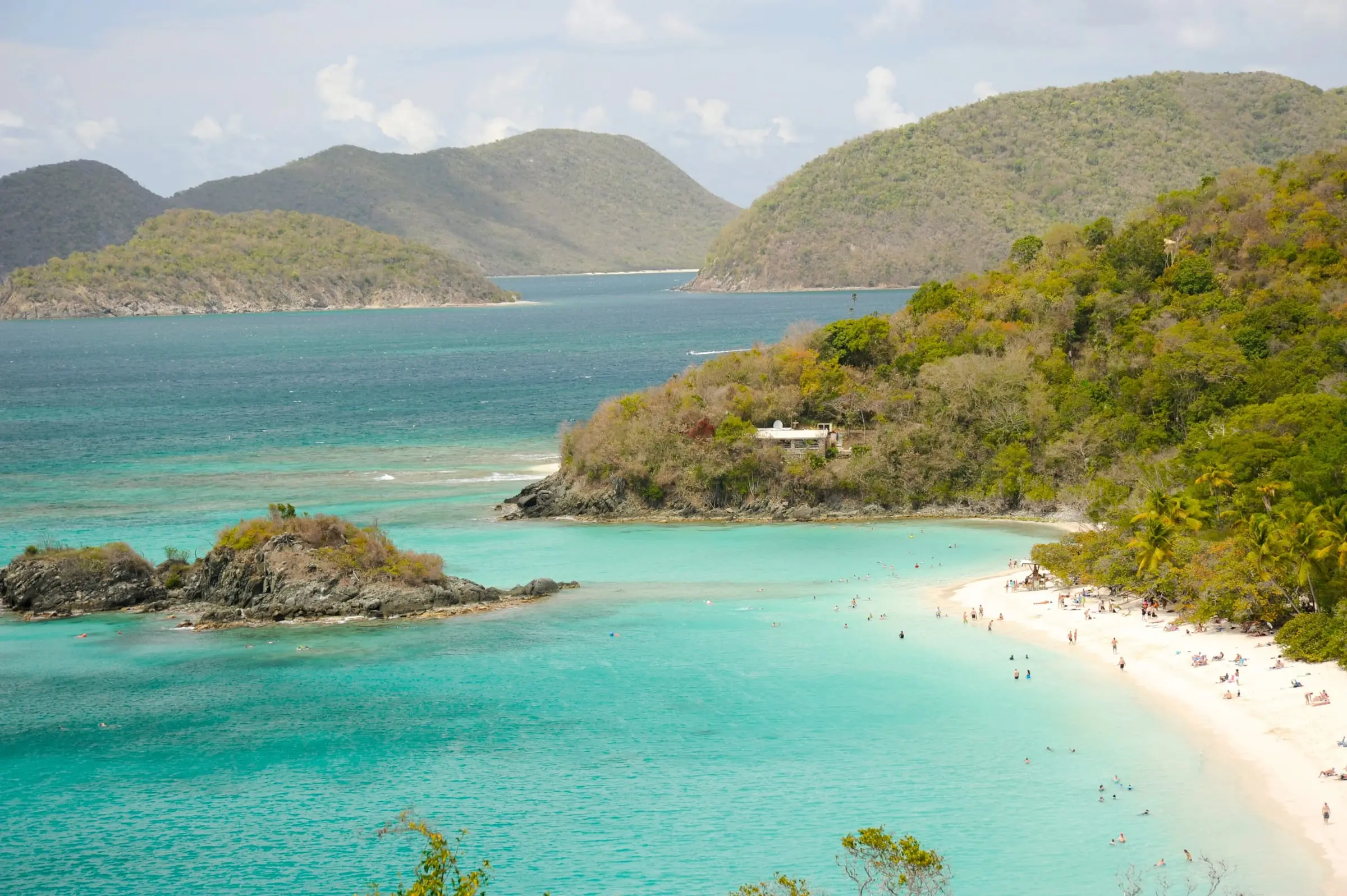
Trunk Bay and Trunk Cay
Trunk Bay, St. John
By Fred Hsu, CC BY-SA 3.0Resized to 2400px wide and re-encoded with metadata removed; the site crops it responsively.
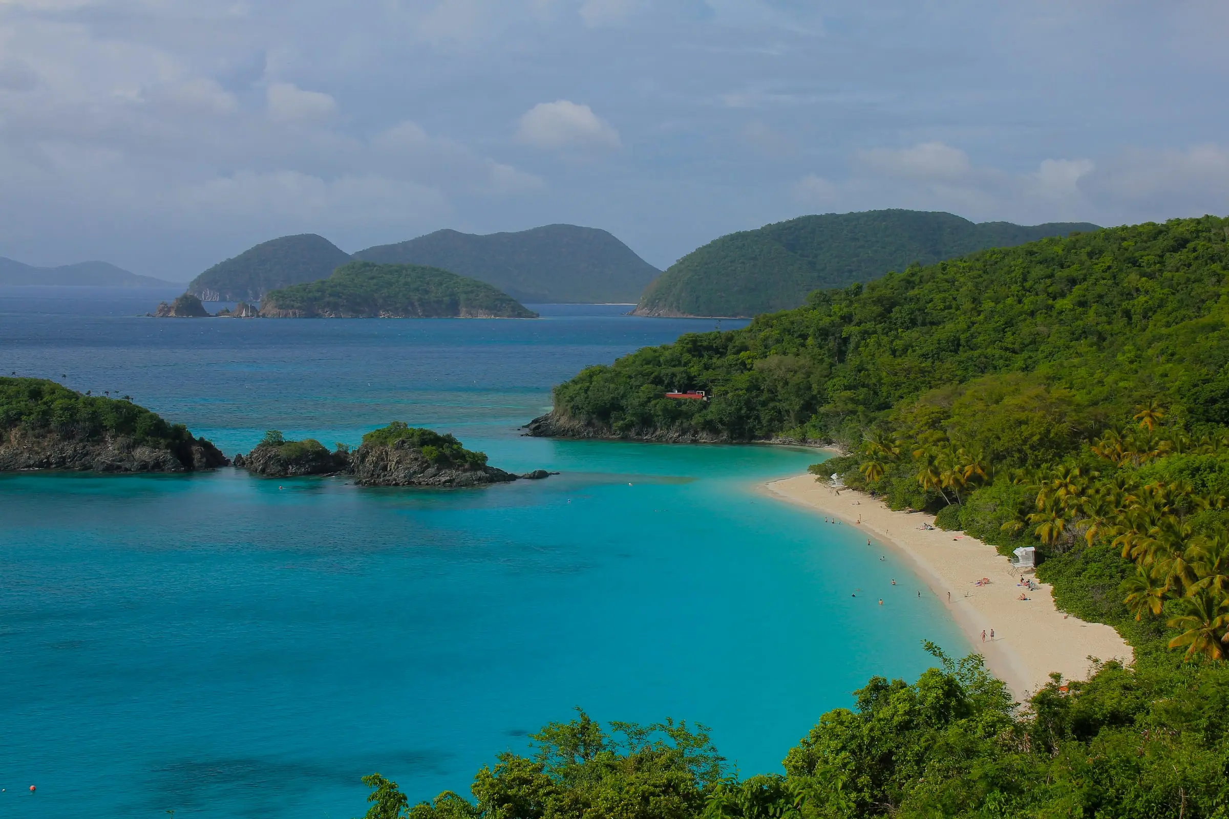
Trunk Bay overlook
Trunk Bay, St. John
By Navin75, CC BY-SA 2.0Resized to 2400px wide and re-encoded with metadata removed; the site crops it responsively.
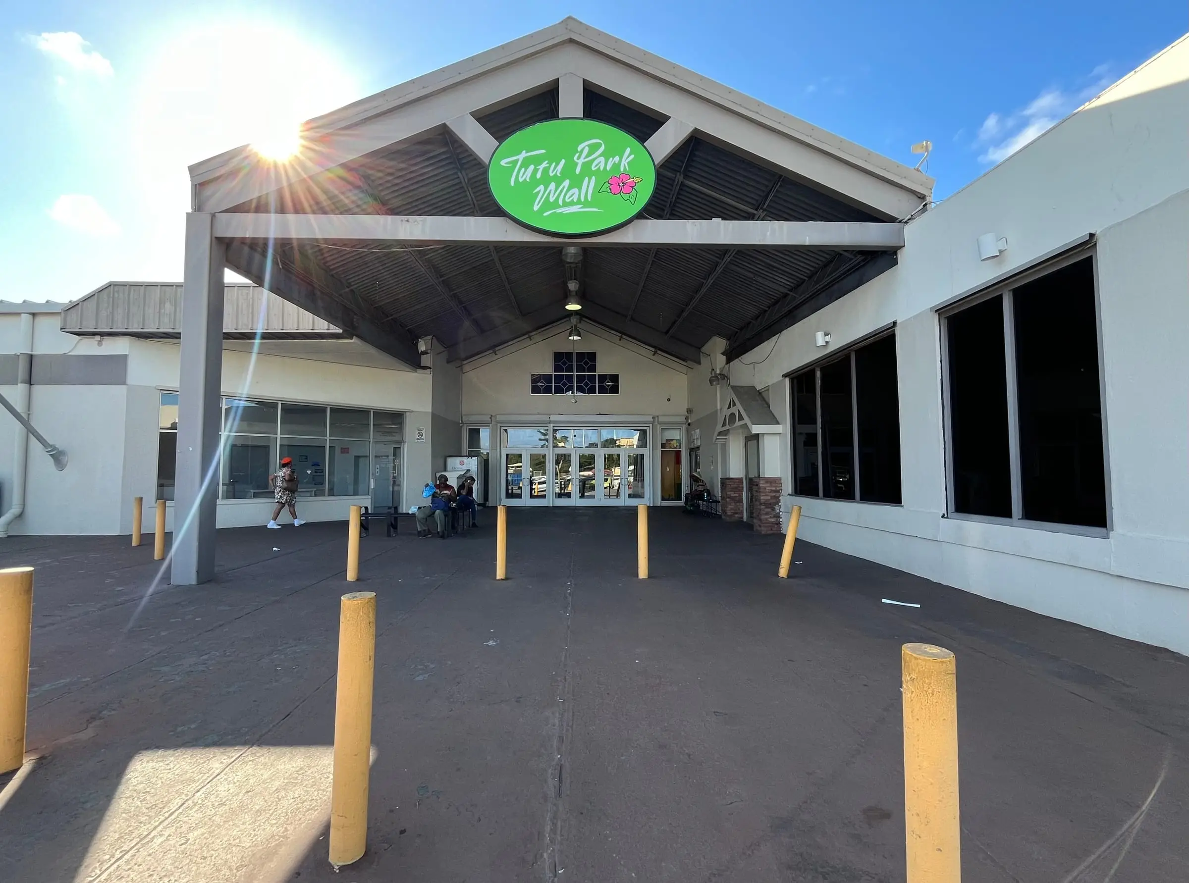
Tutu Park Mall
Tutu, St. Thomas
By LittleT889, CC BY 4.0Resized to 2400px wide and re-encoded with metadata removed; the site crops it responsively.
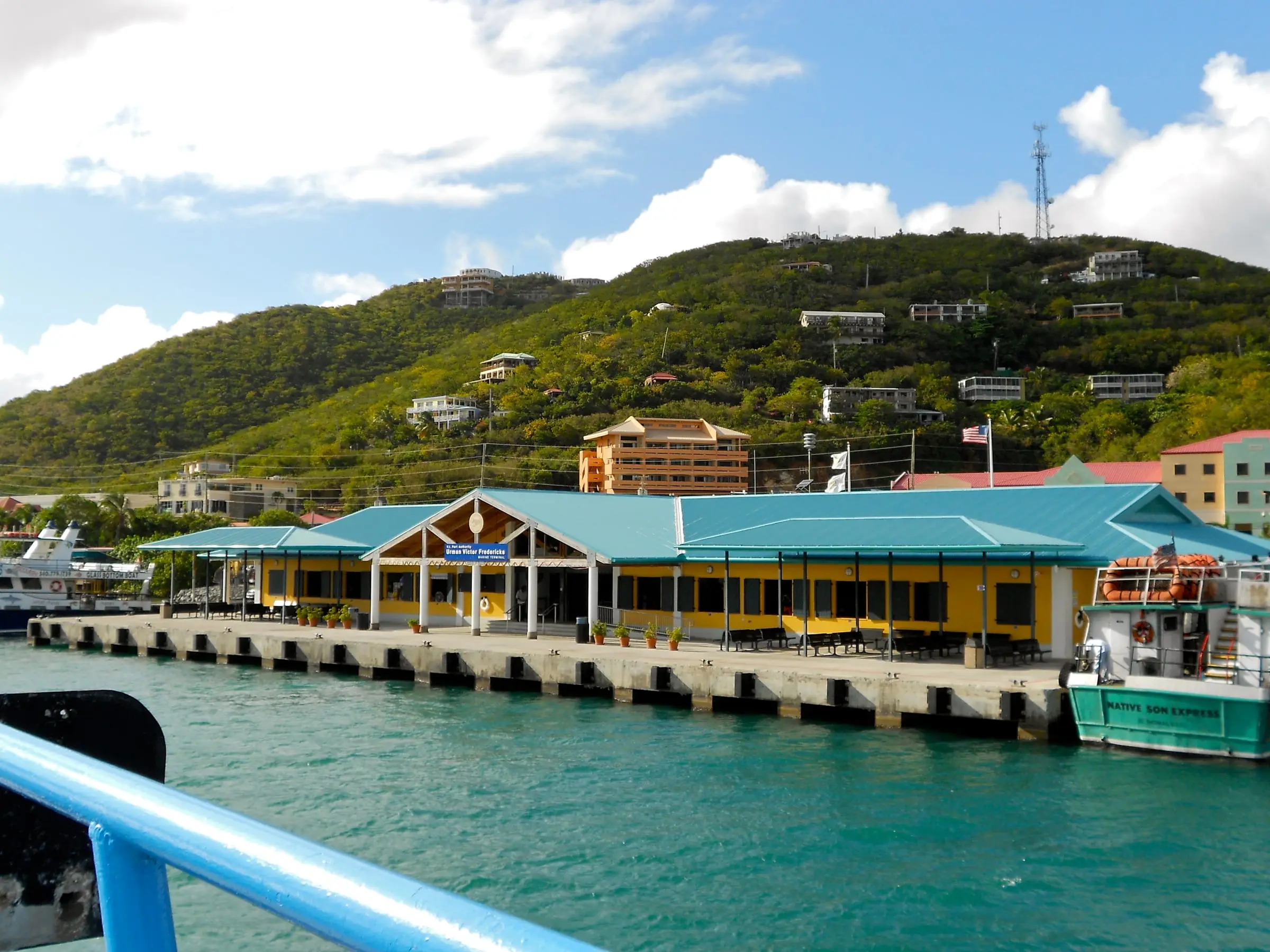
Urman Victor Fredericks Marine Terminal
Red Hook, St. Thomas
By Smallbones, CC0Resized to 2400px wide and re-encoded with metadata removed; the site crops it responsively.
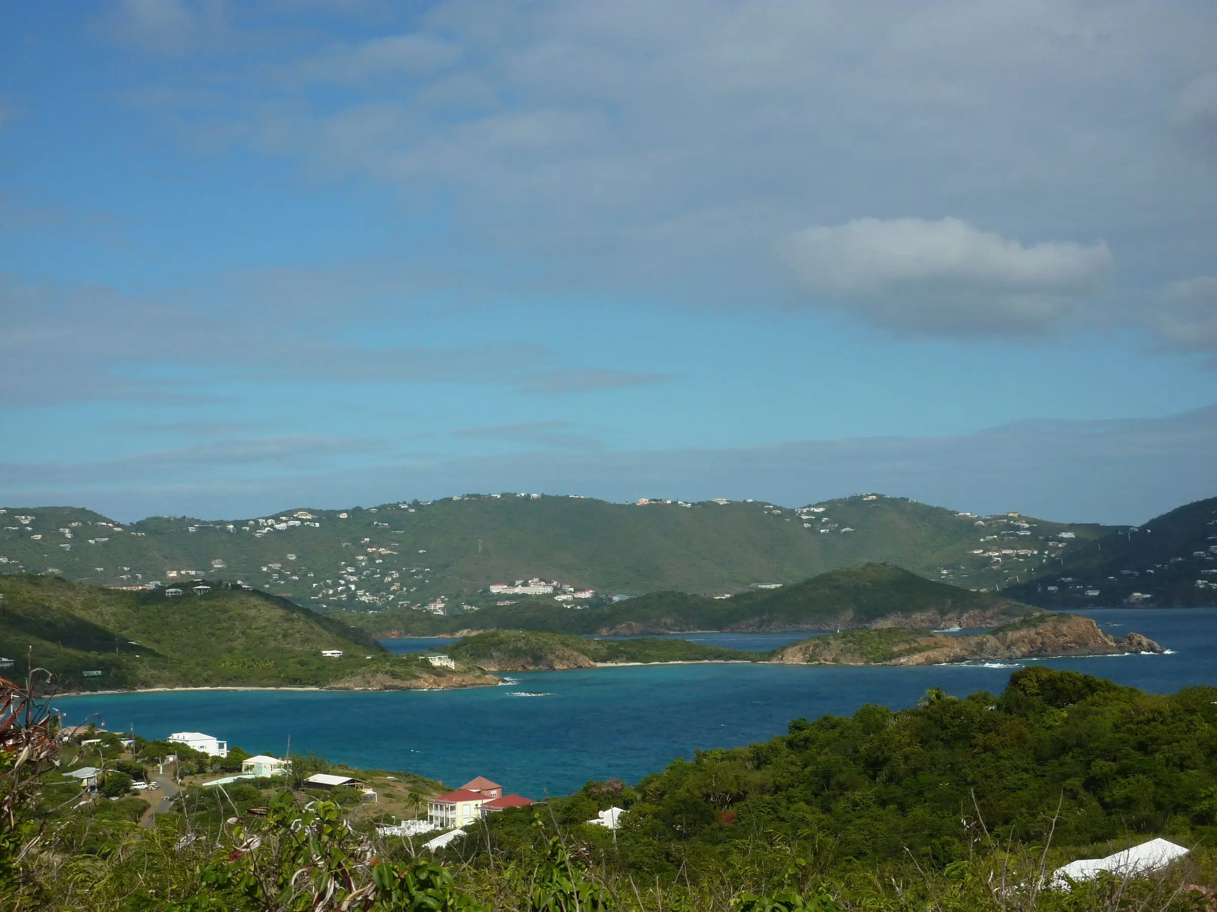
View from Fort Segarra
Fort Segarra, Water Island
By Gruepig, CC BY-SA 4.0Resized to 2400px wide and re-encoded with metadata removed; the site crops it responsively.
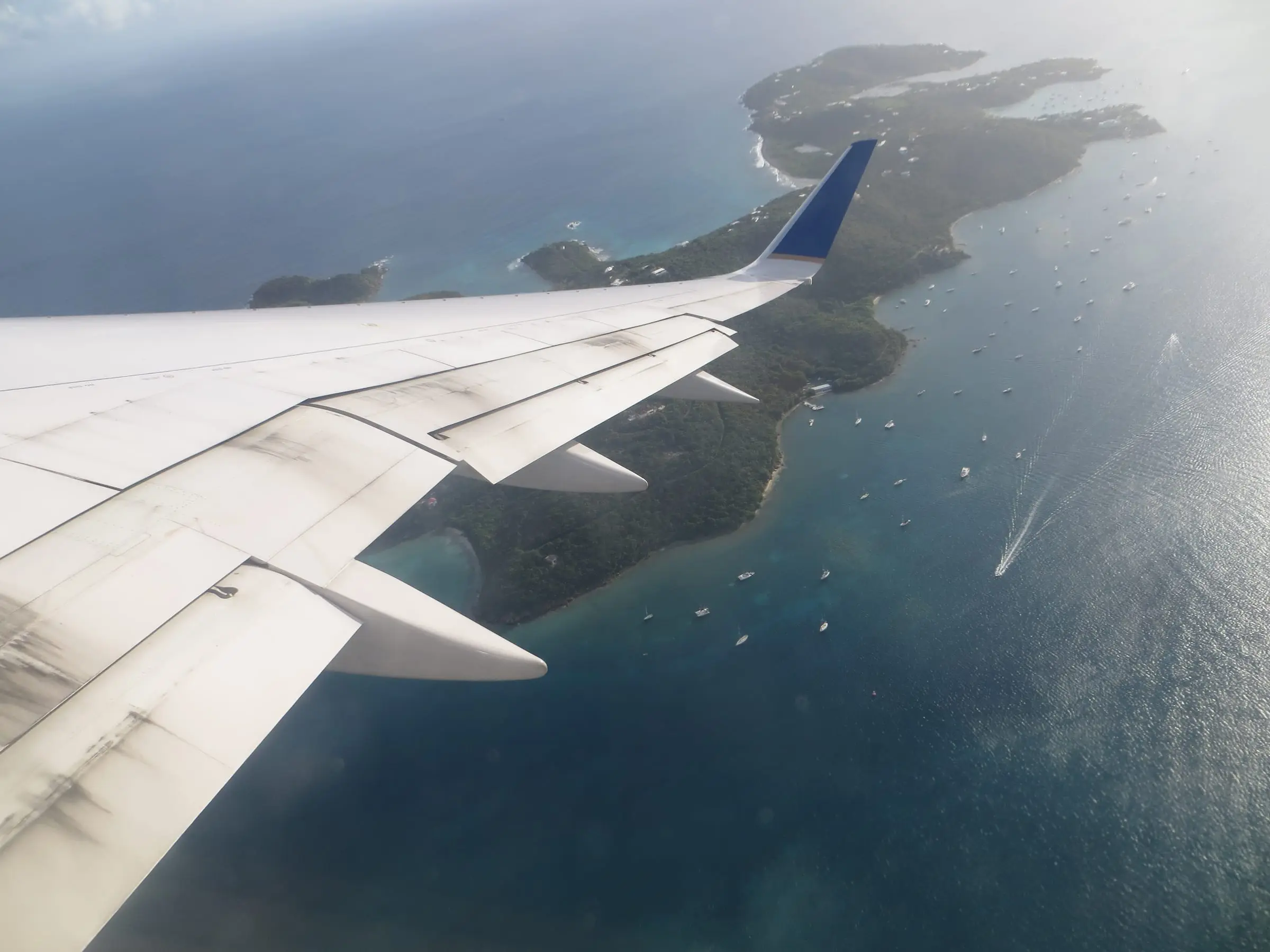
Water Island from the air
Water Island, from a departing flight
By Sunnya343, CC BY-SA 4.0Resized to 2400px wide and re-encoded with metadata removed; the site crops it responsively.
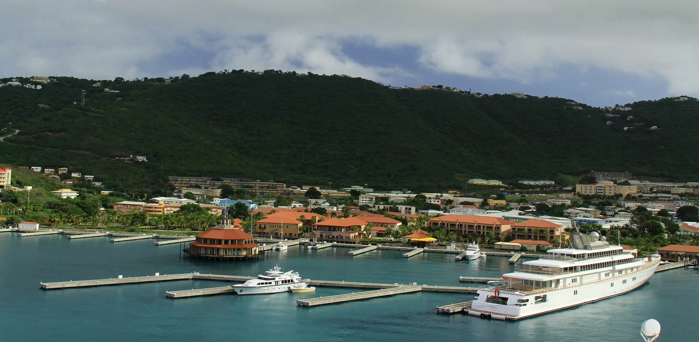
Yacht Haven Grande
Charlotte Amalie, St. Thomas
By Prayitno from Los Angeles, USA, CC BY 2.0Resized to 2400px wide and re-encoded with metadata removed; the site crops it responsively.
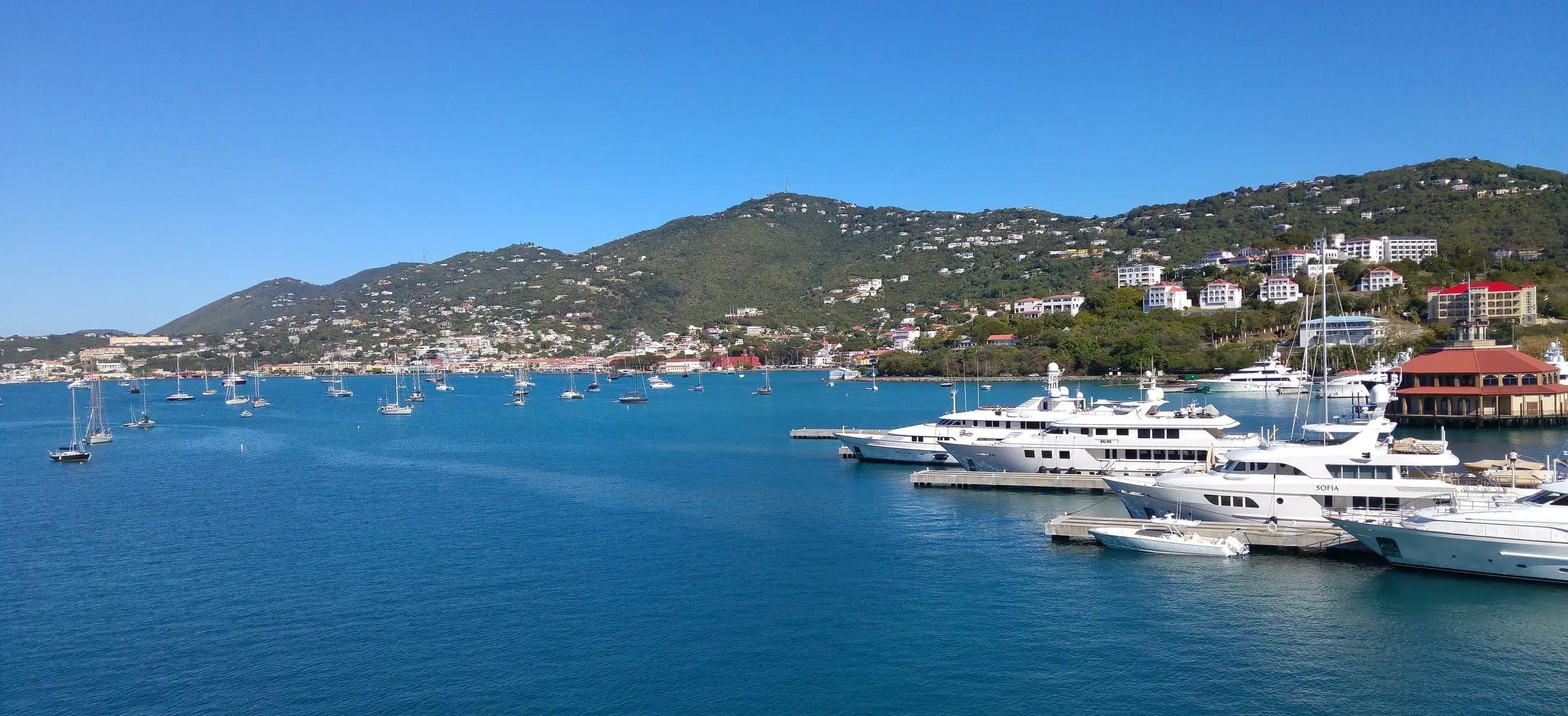
Yacht Haven Grande
Charlotte Amalie, St. Thomas
By Luigi Rosa, CC BY-SA 2.0Resized to 2400px wide and re-encoded with metadata removed; the site crops it responsively.


