Overview
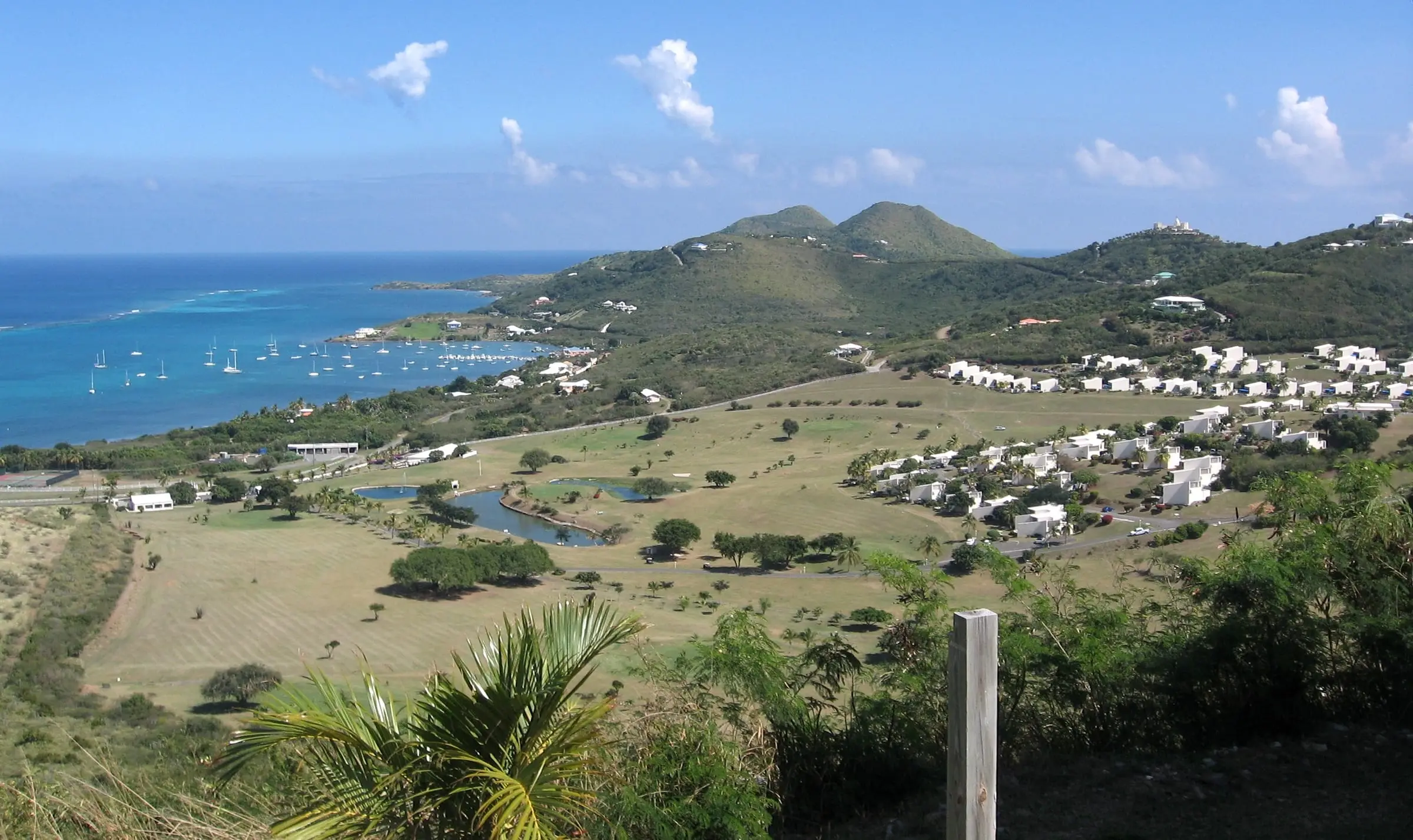
St. Croix is the largest of the three main U.S. Virgin Islands. It has about 83 square miles of land, more than St. Thomas (about 31) and St. John (about 20) combined, and it lies about 40 miles south of St. Thomas. The 2020 Census counted 41,004 residents, down 19 percent from 50,601 in 2010.
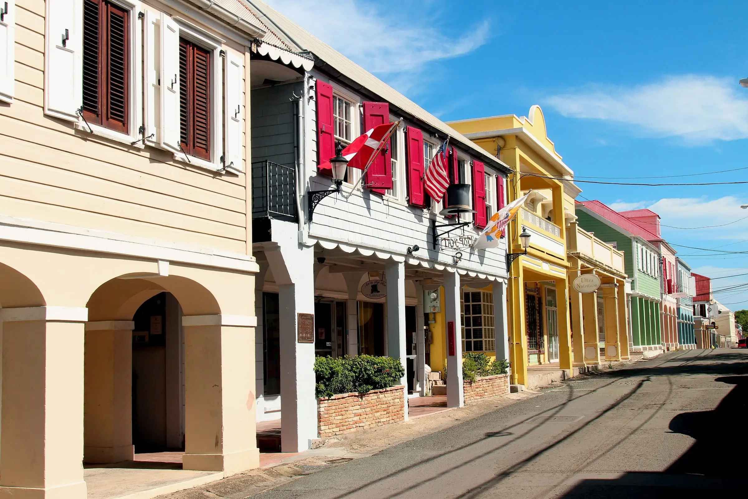
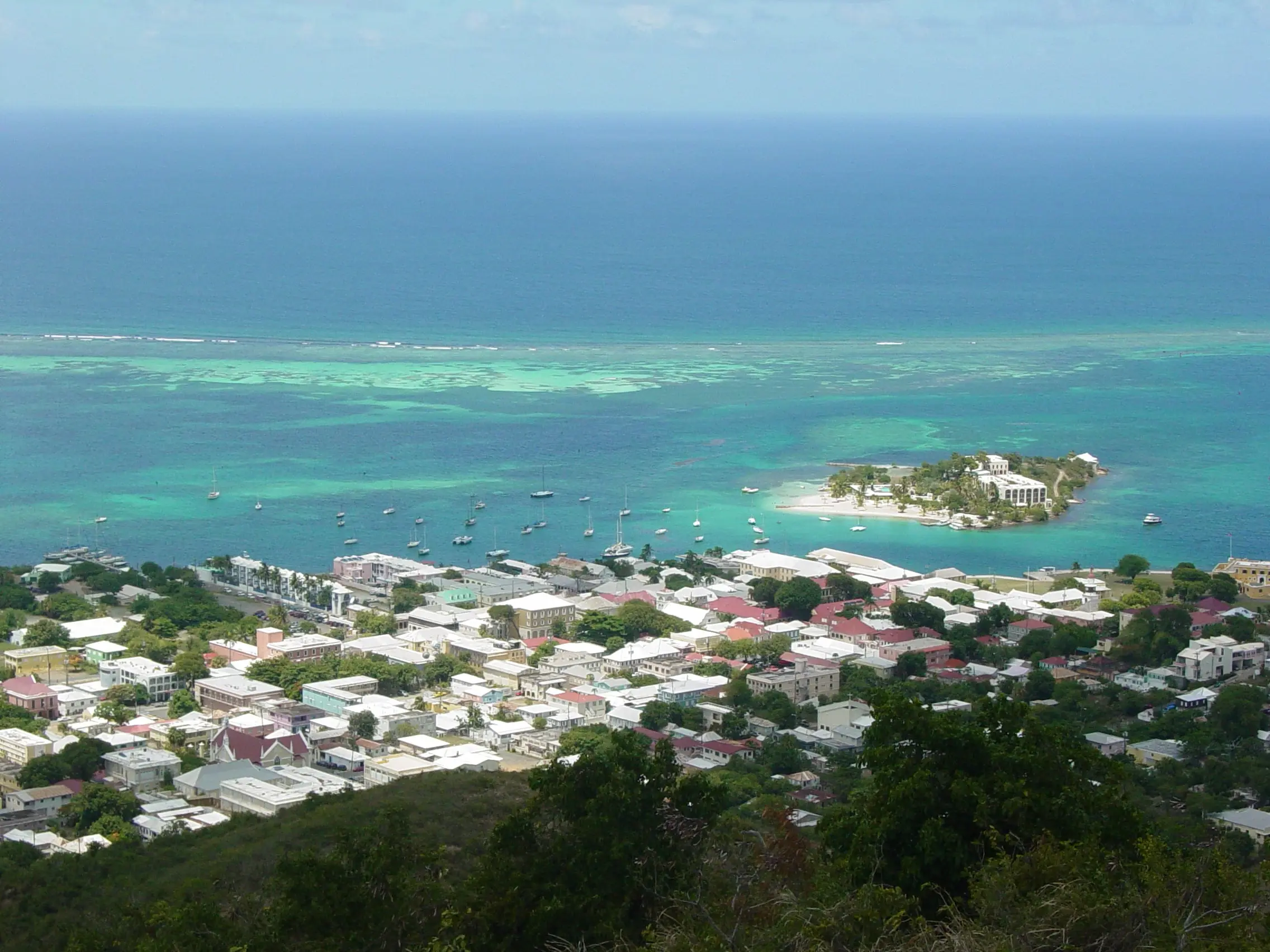
The island’s history is written into its map. Denmark bought St. Croix from France in 1733 and built Christiansted, named for King Christian VI, beside a reef-protected harbor, according to the National Park Service. The Park Service describes the town’s heritage as built on the trade in enslaved people, sugar and rum.
Enslaved people on St. Croix rose up on July 3, 1848, an event the Department of Planning and Natural Resources (DPNR) calls the Emancipation Uprising, and the Park Service dates emancipation to that year. Denmark transferred the islands to the United States in 1917.
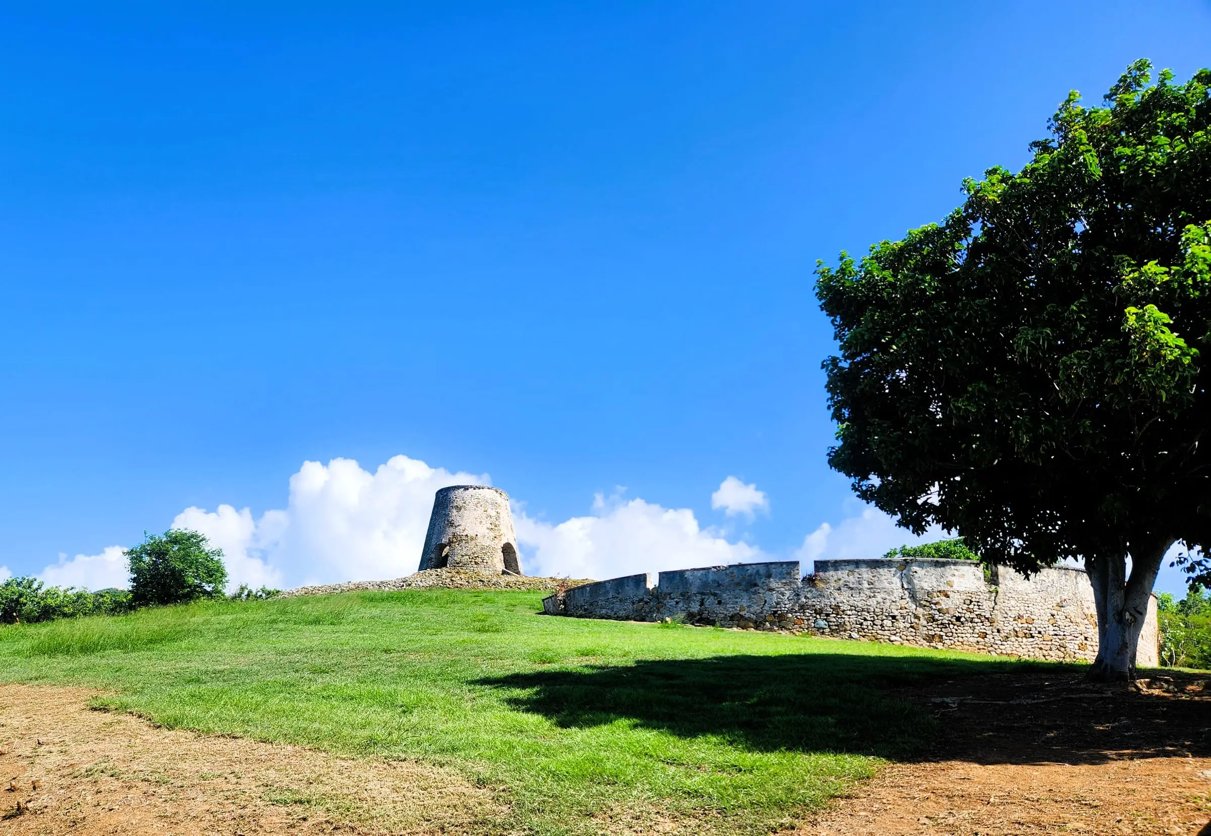
That plantation past still shapes how land is described. The island is divided into named estates, and Census Bureau boundary data supplied by the Office of the Lieutenant Governor says their boundaries are primarily those of the former agricultural plantations that existed at the 1917 transfer.
Three National Park Service sites are on or near the island: Christiansted National Historic Site in town, Buck Island Reef National Monument offshore, and Salt River Bay National Historical Park and Ecological Preserve, about five miles from the historic site.
Towns and neighborhoods
St. Croix has two towns, Christiansted and Frederiksted. Together they had 2,298 residents in 2020, so about 94 percent of the island’s people live outside them, in estates across the countryside.
Christiansted
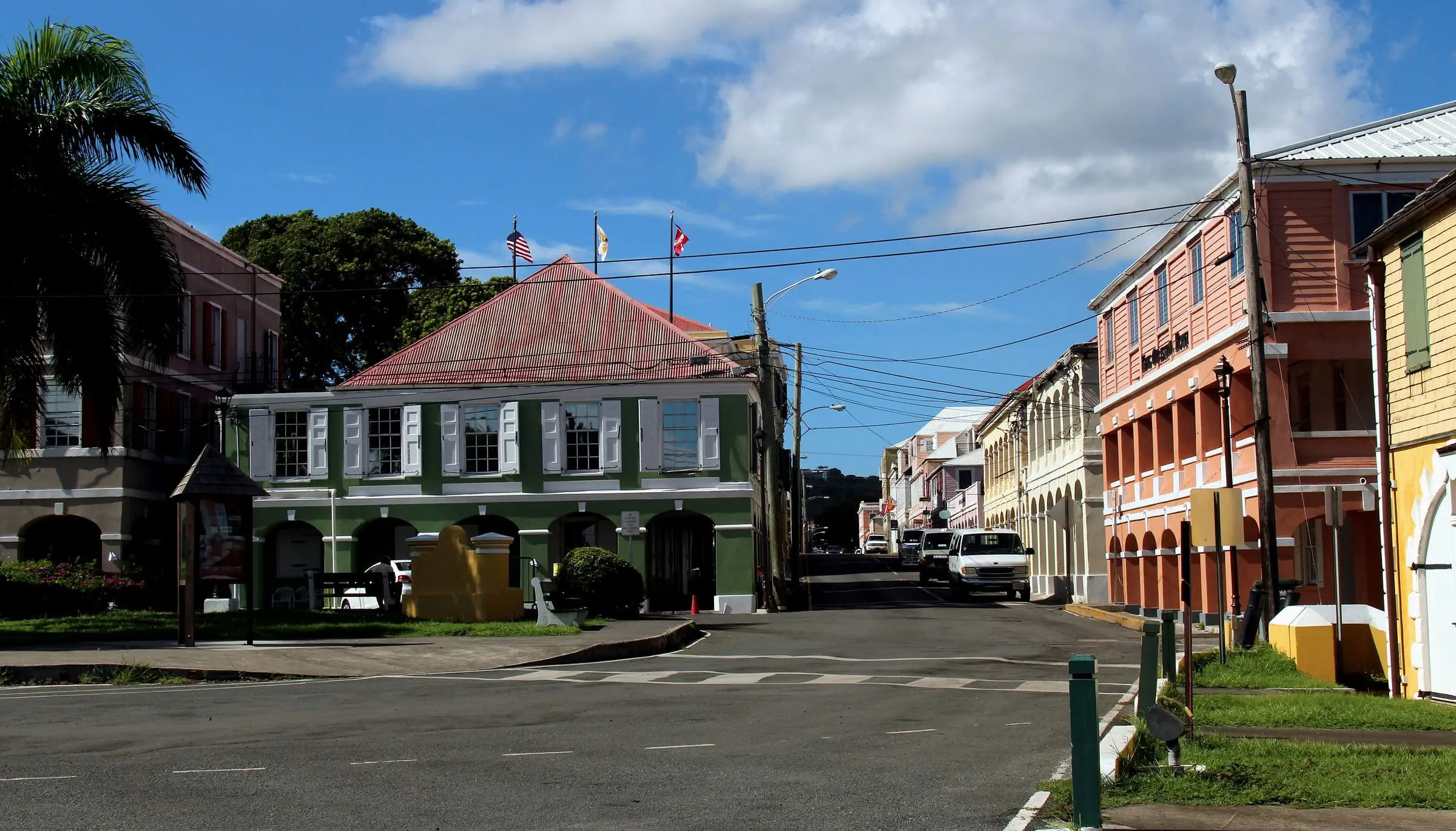
Christiansted, the larger town, faces a harbor on the north shore. It had 1,770 residents in 2020, down from 2,433 in 2010. Its historic district surrounds Christiansted National Historic Site, and the St. Croix office of the Office of the Lieutenant Governor, which houses the Recorder of Deeds and the Tax Assessor, is on King Street. See our Christiansted area guide.
Frederiksted
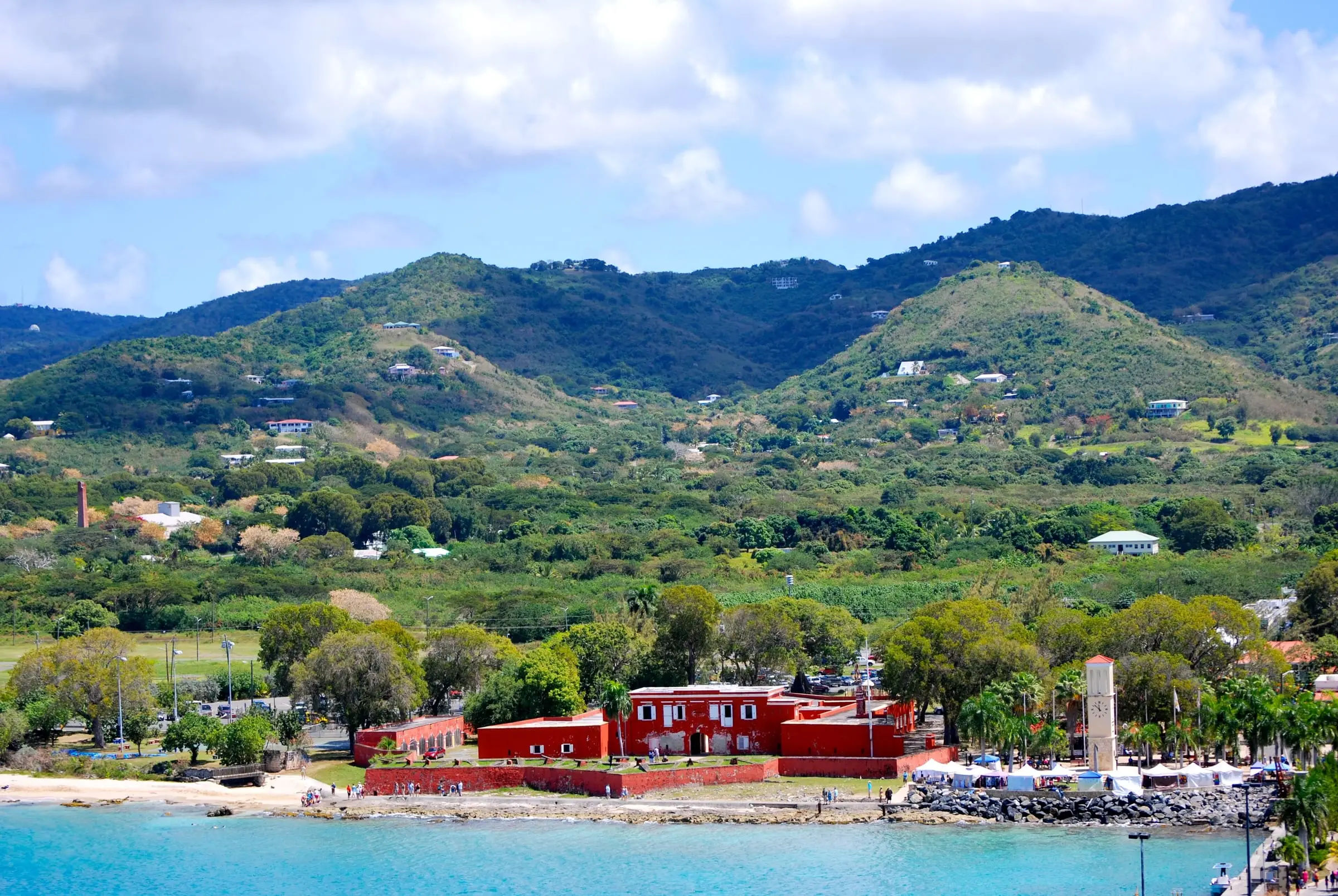
Frederiksted, on the west end, had 528 residents in 2020, down from 859 in 2010. It is home to the Fort Frederik Museum and the Ann E. Abramson Marine Facility, which the Virgin Islands Port Authority calls the only cruise ship port on St. Croix. Like Christiansted, it has a historic district where changes to buildings need approval. See our Frederiksted area guide.
Census subdistricts
For statistics, the Census Bureau divides St. Croix into nine subdistricts. They are a useful way to compare parts of the island:
| Subdistrict | Residents (2020) | Housing units (2020) | Land area (sq mi) |
|---|---|---|---|
| Anna’s Hope Village | 3,282 | 2,050 | 9.9 |
| Christiansted | 1,866 | 1,402 | 0.8 |
| East End | 2,336 | 2,069 | 12.9 |
| Frederiksted | 2,303 | 1,542 | 1.4 |
| Northcentral | 4,197 | 2,616 | 12.7 |
| Northwest | 3,431 | 2,432 | 18.2 |
| Sion Farm | 10,332 | 6,672 | 9.4 |
| Southcentral | 7,415 | 3,239 | 12.6 |
| Southwest | 5,842 | 3,448 | 5.5 |
A few patterns stand out:
- Sion Farm is the most populous subdistrict, with about a quarter of the island’s residents.
- Northwest has the most land, about 18 square miles, but fewer than 3,500 residents.
- The Christiansted and Frederiksted subdistricts are the smallest by area, at under 1.5 square miles each.
- The East End gained 202 housing units between 2010 and 2020 (up 10.8 percent) even as its population fell 4.8 percent.
Estates
The 2020 Census lists 231 estates on St. Croix. Their names are in common use by residents and in government, and addresses often pair a plot number with an estate name, such as the Sandy Point refuge’s address at “Plot # 359 Estate Whim” in Frederiksted.
Estates vary widely in population. In 2020, 58 had no residents at all, while the most populous, Estate The Whim East, had 2,499. You can explore estate boundaries on our estates map.
Property types
Estimate as of October 2026. These are 2020 Census figures, the most recent full count. Of St. Croix’s 25,470 housing units, 57 percent were detached single-family homes, 11 percent were attached single-unit homes and 30 percent were in buildings with two or more units. About two-thirds were built before 1990, and 6 percent in 2010 or later.
Single-family homes
Detached houses are the most common kind of home on the island, and construction type matters. In a 2023 bulletin on windstorm insurance, the Division of Banking, Insurance and Financial Regulation said reinsurers consider wooden structures more vulnerable to windstorms. Owners of wooden or mixed-frame homes may face non-renewal or have trouble finding coverage. After Hurricane Maria in 2017, NOAA reported the complete destruction of many wooden houses on St. Croix.
Condominiums and multi-unit buildings
About three in ten homes are in buildings with two or more units, from two-unit buildings to buildings with 20 or more units. Before you buy into a building with an association, read its rules, budget, reserves and insurance policy, and ask how it handled past storm repairs. See St. Croix communities.
Land
Property descriptions and addresses on St. Croix use estate names, often with a plot number. Before you buy a lot, research road access, whether WAPA service reaches it, how a home there would store water and treat wastewater, and which DPNR permits a new house would need.
Coastal lots may fall in the first tier of the coastal zone, where DPNR’s Coastal Zone Management program reviews all proposed development.
Historic town buildings
In the Christiansted and Frederiksted historic and architectural control districts, the St. Croix Historic Preservation Committee reviews changes to buildings. Its application lists work such as new paint colors, window and door changes, roofs and porches, air conditioning, solar panels, additions, new construction and demolition.
Ownership considerations
These are the questions we would research for any St. Croix property. Our St. Croix buyer’s guide covers each one in more depth.
- Records. The Recorder of Deeds, part of the Office of the Lieutenant Governor, records deeds, mortgages and liens. Its St. Croix office is at 1131 King Street in Christiansted, and it offers an online records search. The Tax Assessor offers online tax bill and parcel searches.
- Boundaries. A licensed land surveyor can confirm where a parcel’s lines fall. The Department of Licensing and Consumer Affairs licenses surveyors through the V.I. Board of Architects, Engineers and Land Surveyors.
- Flood zones. FEMA’s Flood Map Service Center lets you research, view and download flood maps free. DPNR’s Division of Permits handles floodplain management and the National Flood Insurance Program locally.
- Coastal rules. DPNR’s Coastal Zone Management program has a map that shows whether a property is in Tier 1, the coastal zone.
- Historic districts. Check whether an in-town building is inside a district before you plan any changes.
- Water and wastewater. Many homes rely on cisterns and septic systems (see the figures below). In August and September 2026, WAPA posted updates about drought-related water interruptions, a temporary suspension of St. Croix water production after a wastewater overflow, and the lifting of a St. Croix boil-water advisory.
- Storms and insurance. Ask for the property’s storm history and repair permits, and get insurance quotes before you commit.
- Taxes. Real property tax is handled by the Office of the Lieutenant Governor, which offers a homestead credit for an owner’s primary residence. Ask the Tax Assessor for the current assessment and bill.
Estimate as of October 2026. In the 2020 Census, about 70 percent of St. Croix housing units reported a cistern, catchment, tanks or drums as a water source, and about 42 percent reported a public system (households could report more than one). About 59 percent used a septic tank or cesspool, and about 40 percent were on public sewer.
Rental considerations
Estimate as of October 2026. In the 2020 Census, 8,011 of St. Croix’s 18,083 occupied homes (44 percent) were rented. The median gross rent was $822 a month, and the rental vacancy rate was 18.9 percent. Gross rent includes utilities and fuels paid by the renter. These figures are several years old, so ask local property managers what similar homes rent for today.
For a long-term rental, ask:
- How does the home get water, and who maintains the cistern?
- Which utilities will be in your name, and what have recent WAPA bills been?
- Does the home have hurricane shutters or other storm protection, and who puts them up?
- What happens to the lease if a storm makes the home unlivable?
- Are pets allowed, and is parking included?
If you are thinking about renting a property to visitors, ask the Virgin Islands Bureau of Internal Revenue which taxes apply, ask the Department of Licensing and Consumer Affairs whether you need a business license, and check any association rules. USVI Realty does not estimate rental income.
Start with our renting resources and our guide to living in St. Croix.
Getting around and getting here
- By air. Henry E. Rohlsen Airport (STX) is in Estate Manning Bay, about six miles southwest of Christiansted. The Virgin Islands Port Authority says it is served by major domestic carriers and has daily inter-island flights.
- By seaplane. A seaplane terminal in Water Gut, Christiansted, has daily service to downtown Charlotte Amalie on St. Thomas.
- By sea. Cruise ships dock at the Ann E. Abramson Marine Facility in Frederiksted. The Gallows Bay Marine Facility in Christiansted serves small cargo vessels, ferries and yachts.
- Travel documents. U.S. citizens traveling directly between a U.S. territory and the mainland do not need a passport, according to U.S. Customs and Border Protection. If your trip includes a foreign country, bring one.
- Driving. Traffic keeps to the left in the Virgin Islands, so take extra care at turns and when pulling into traffic.
- Buses and taxis. The Department of Public Works runs VITRAN bus routes between Christiansted and Frederiksted, plus routes from La Reine Terminal to Tide Village and from Sunshine Mall to La Reine Terminal. Taxi vans and rental cars are also available.
- Parks. Boats to Buck Island leave from downtown Christiansted and Green Cay Marina, a trip of 40 minutes to an hour and a half. Salt River Bay can be reached by car on Route 75 and Route 80 from Christiansted.