Where is Gallows Bay?
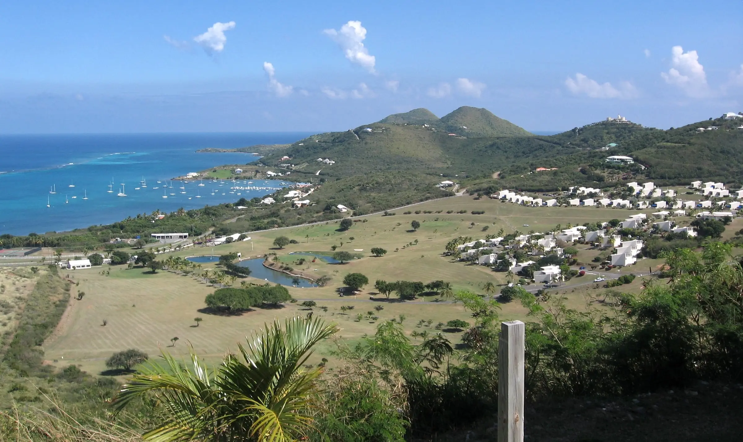
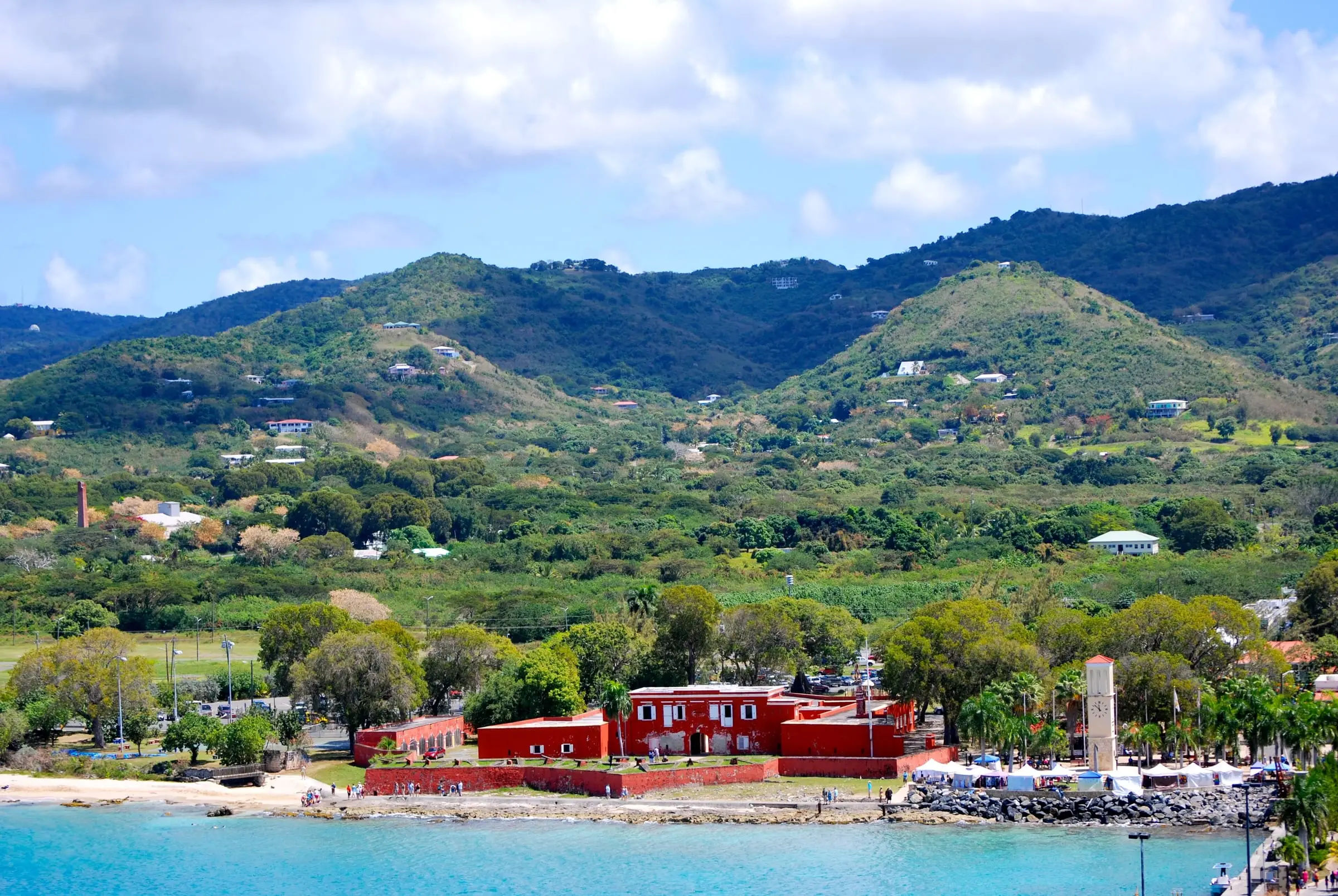
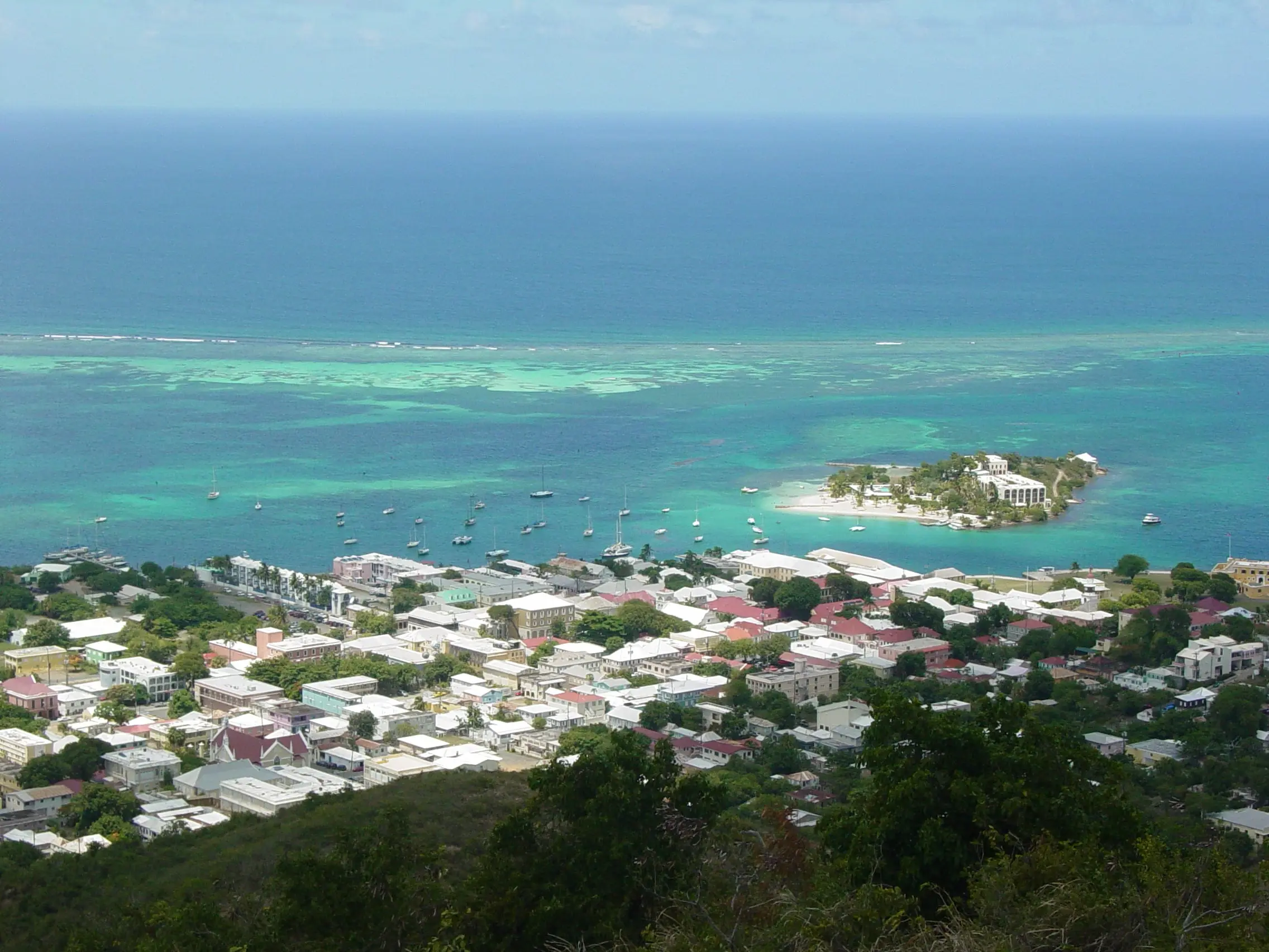
Gallows Bay opens off Christiansted Harbor on the east side of town, and the name covers both the water and the neighborhood along its shore. The U.S. Geological Survey’s place-name database lists Gallows Bay as a bay on St. Croix, and local addresses use the name too: Schooner Bay Condominium gives its address as 5002 Gallows Bay.
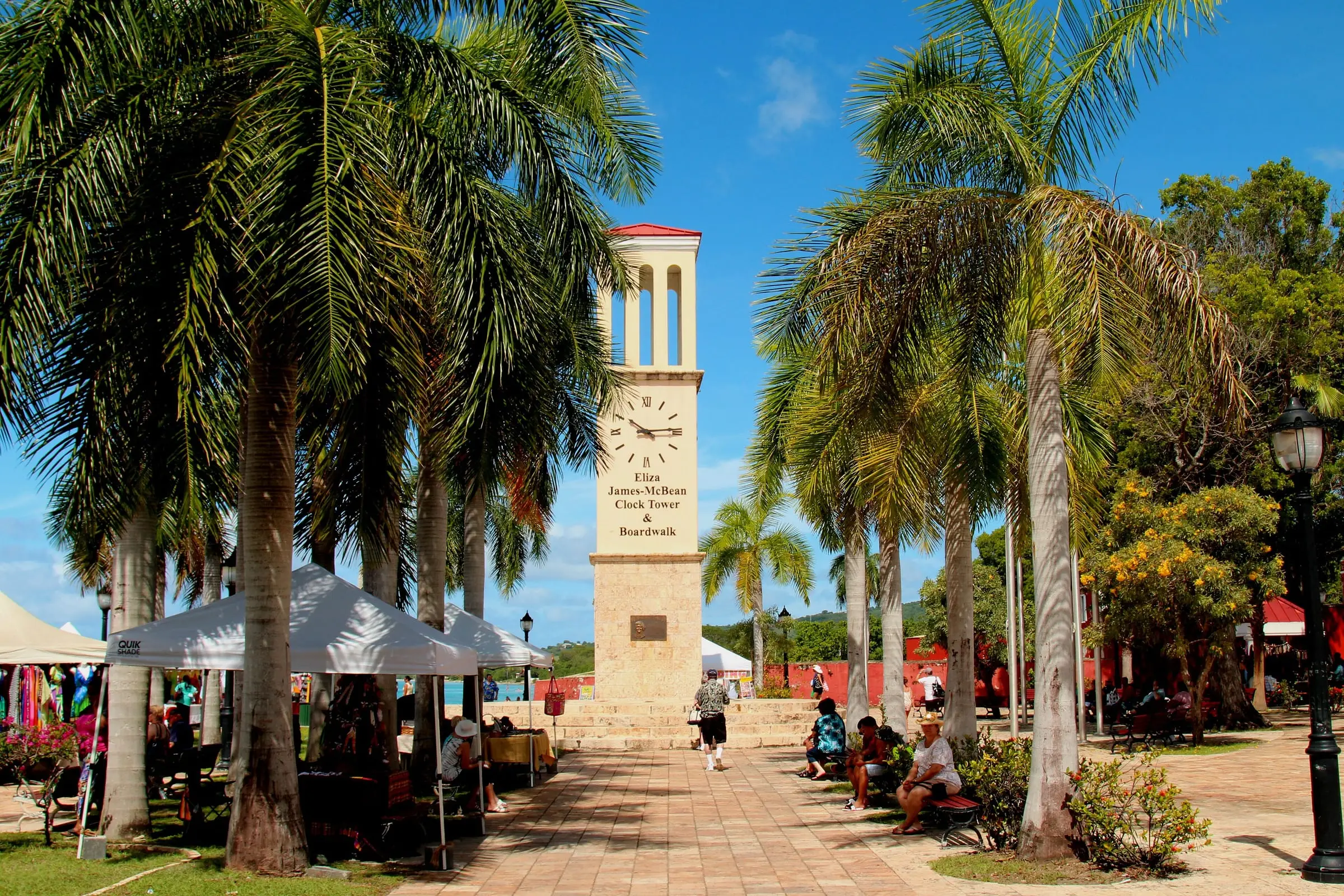
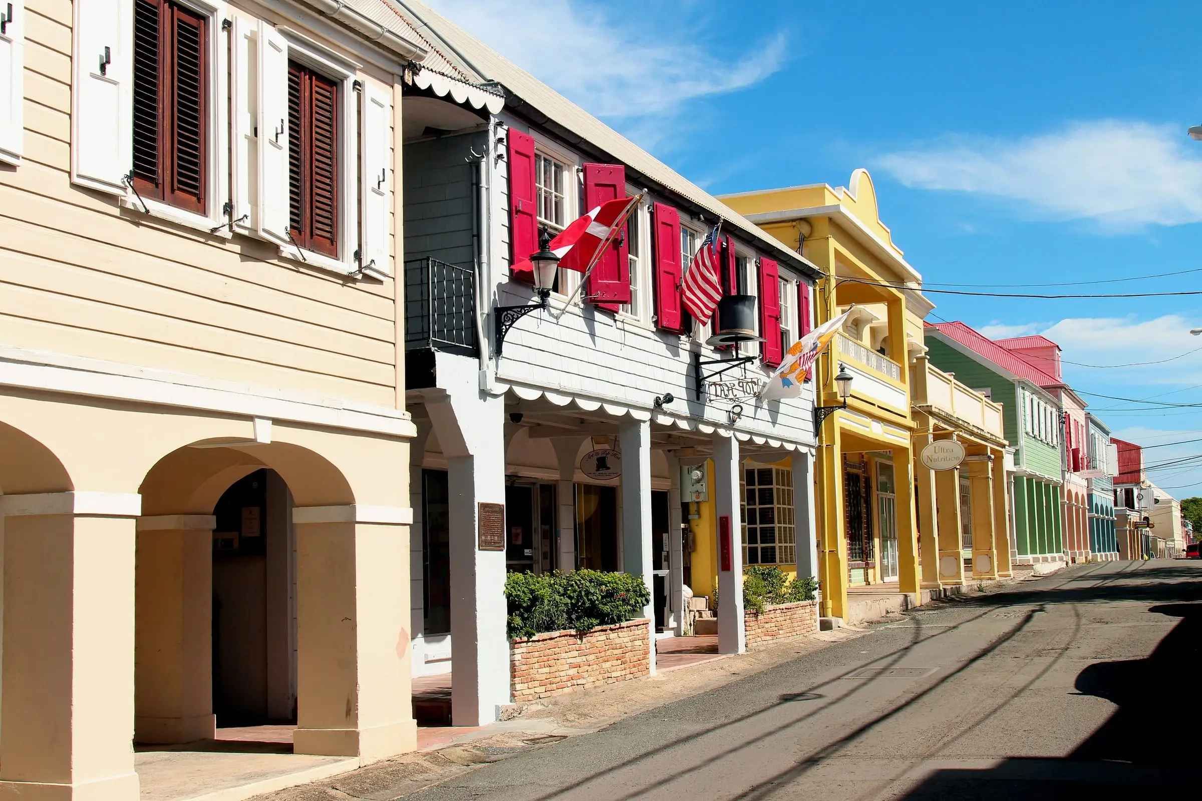
The Virgin Islands Port Authority (VIPA) puts its Gallows Bay dock about a mile from downtown Christiansted, so the historic district, shops and government offices described in our Christiansted guide are close at hand.
Does the Census count Gallows Bay?
Not on its own. In 2020 the only towns and census designated places the Census Bureau defined on St. Croix were Christiansted town, Frederiksted town and the Frederiksted Southeast CDP. Census maps split the Gallows Bay area: part of its shore falls inside the Christiansted town boundary, and the eastern side falls outside it.
The neighborhood straddles other Census lines too. Around the bay, the estate maps meet at Estate Christiansted, Estate Mount Welcome, Estate Altona and Estate Elizas Retreat, among others, and three subdistricts touch: Christiansted, Anna’s Hope Village and East End. In 2020 Estate Mount Welcome had 264 residents and 233 housing units, and Estate Elizas Retreat had 336 residents and 208 units, but both stretch well inland, so neither describes the waterfront alone. Treat any statistic labeled “Gallows Bay” with care, and explore the boundaries on our estate map.
What is on the waterfront?
The working heart of the bay is VIPA’s Gallows Bay Marine Facility, which the Port Authority calls a vital link for small cargo vessels serving St. Croix and other Caribbean islands.
- The dock is 400 feet long, with a maximum draft of 13 feet.
- It takes mini-cruise vessels, small inter-island sloops, ferries, private yachts, cargo vessels and U.S. Coast Guard vessels.
- Facilities include a passenger lounge, a lighted walkway, limited covered and open storage and a roll-on, roll-off ramp.
VIPA also points to shopping nearby at Chandler’s Wharf. If you are considering a home close to the dock, visit at different times of day to judge traffic, lighting and noise from cargo handling.
What kind of housing is there?
Condominiums overlook the harbor here. Schooner Bay Condominium describes itself as a 62-unit complex overlooking Christiansted Harbor in the Gallows Bay area, with full-time on-site staff. Because the Census does not report on Gallows Bay, there is no official count of its condos, houses or rentals.
For a condominium, ask for the declaration, bylaws, budget, insurance details and any rental rules before you commit, and check what the common fees cover. For the housing mix in the town next door, see our Christiansted guide. Farther east, our East End guide covers the Census subdistrict that reaches the bay’s eastern edge.
Getting around and nearby services
- Driving. The National Park Service reminds visitors that traffic keeps to the left in the Virgin Islands.
- Boats to Buck Island. Trips to Buck Island Reef National Monument leave from downtown Christiansted and from Green Cay Marina, east of Christiansted, according to the Park Service.
- Records and taxes. The Tax Assessor and Tax Collector list their St. Croix office at 1131 King Street in Christiansted. The Recorder of Deeds keeps a separate St. Croix district.
- Hospital. Gov. Juan F. Luis Hospital and Medical Center gives its address as 4007 Estate Diamond Ruby, Christiansted.
Estimate as of October 2026. The Department of Public Works’ route list, checked in October 2026, shows VITRAN routes 27-103 and 28-103 running between Christiansted and Frederiksted. Routes and schedules change, so check with VITRAN before you rely on a bus.
Our directory lists marinas, restaurants, banks, healthcare and property managers.
What to check before you buy or rent
- The legal description. The Census estate maps have no estate named Gallows Bay, so an address that uses the name does not tell you the estate. Confirm the parcel with the Tax Assessor’s parcel search and the deed with the Recorder of Deeds.
- Flood risk. The Division of Banking, Insurance and Financial Regulation says high-risk flood areas have at least a 1 percent chance of flooding each year and that about 20 percent of flood insurance claims come from outside them. It also warns that storm tides, waves and currents can severely damage marinas and boats in harbors.
- Coastal rules. DPNR lists the Christiansted Waterfront among St. Croix’s Areas of Particular Concern, and its Coastal Zone Management program reviews all proposed development in Tier 1, the coastal zone. Ask how either applies before planning work.
- Storm history. The National Hurricane Center found that St. Croix was the most severely affected of the Virgin Islands in Hurricane Maria in 2017, with roof damage and the complete destruction of many wooden houses. Ask what a building suffered and which repairs were permitted.
- For renters. Ask who pays for water and power, how windows are protected in storms and what the lease says if a storm makes the home unlivable.
For the full process, read our St. Croix buyer’s guide and our hurricane and flood insurance guide. A real estate attorney and a home inspector can help with a specific property.