What is the north shore like?
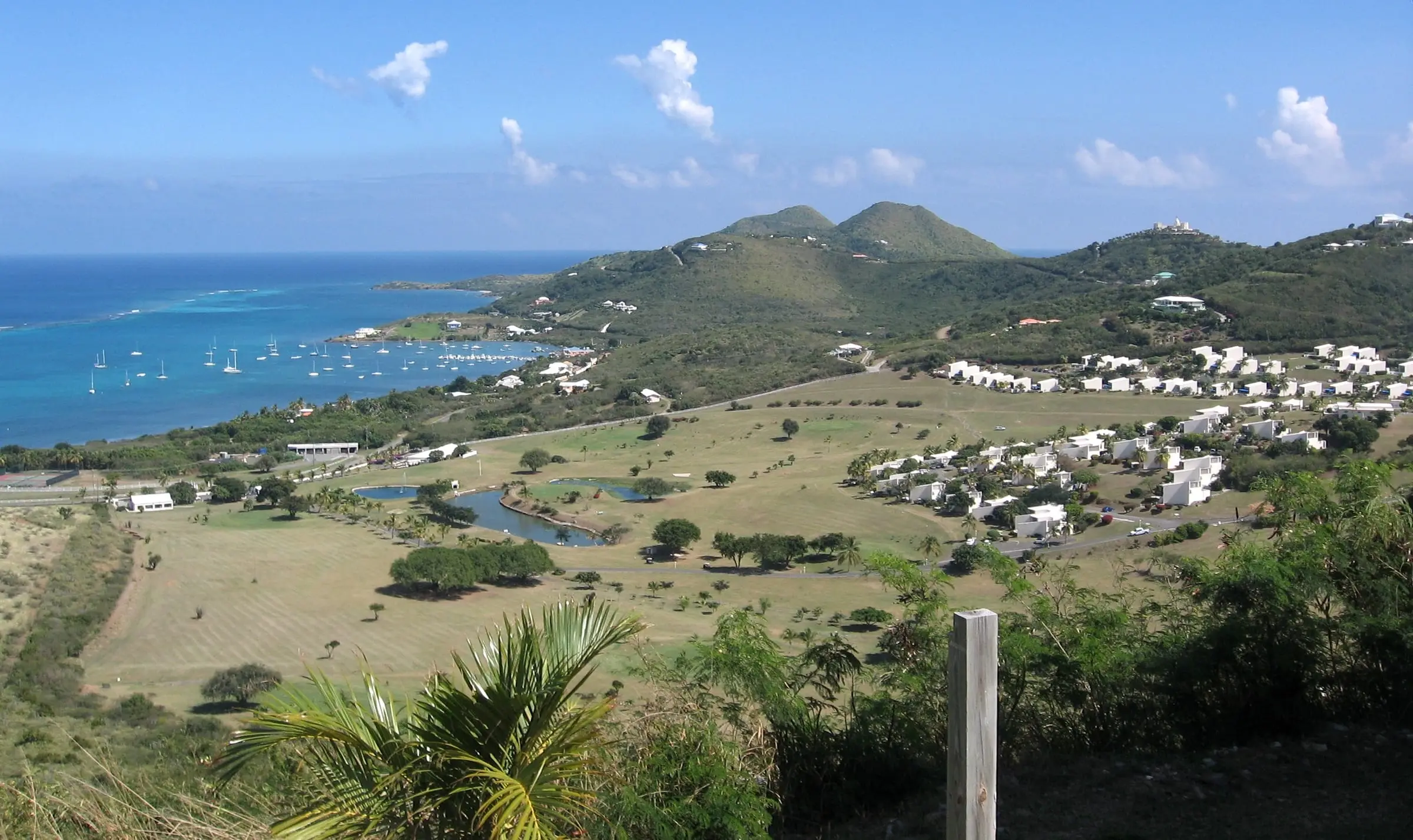
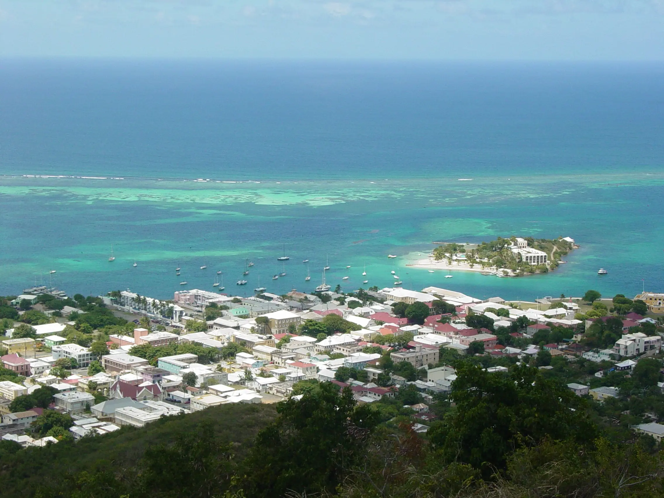
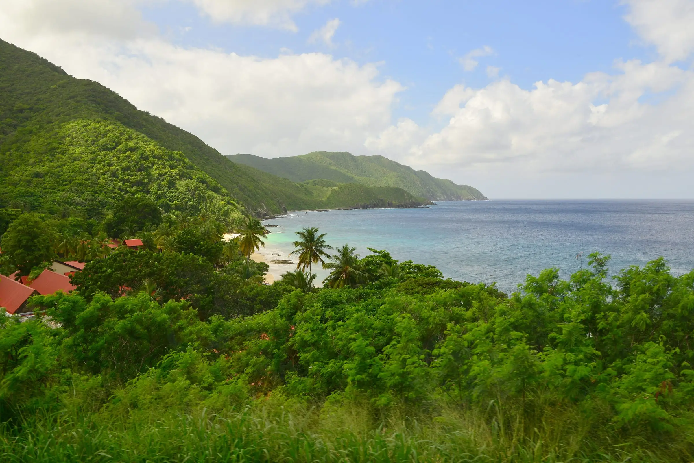
West of Christiansted, St. Croix’s north coast runs past Salt River Bay to Cane Bay and on to Davis Beach. The U.S. Geological Survey’s place-name database lists Cane Bay as a bay and Canebay as a populated place, with Cane Bay Beach and Davis Beach on the shore.
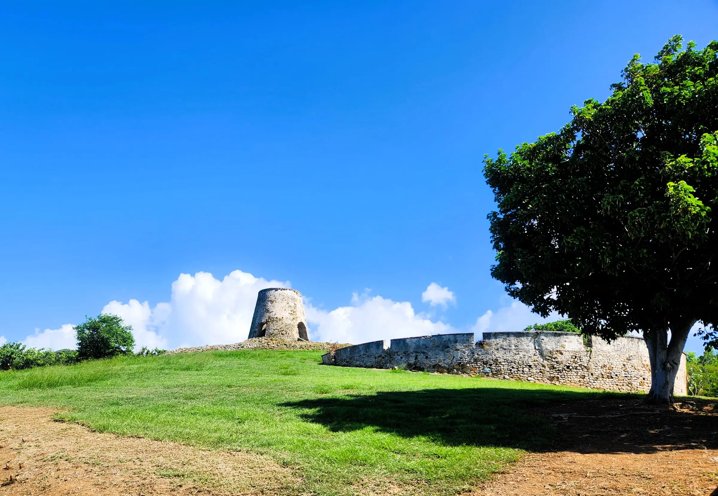
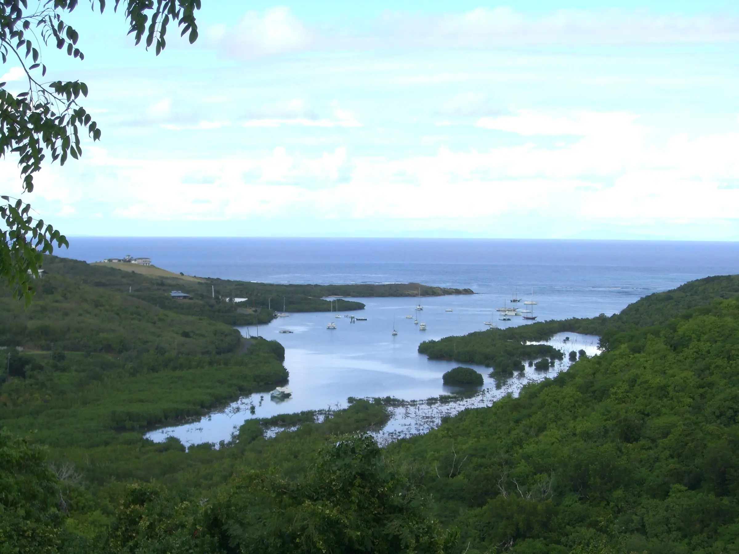
Salt River Bay is a national park. The National Park Service manages Salt River Bay National Historical Park and Ecological Preserve jointly with DPNR, and says people have lived around the bay for more than 2,000 years. The park documents the Caribbean world from the earliest indigenous settlements to their clash with seven European colonial powers, and the Park Service calls its prehistoric complex one of the most important archaeological sites in the Virgin Islands. It adds that divers come from around the world for the canyon walls at Salt River.
How does the Census count the north shore?
No single Census area matches it. Census maps put the Cane Bay shore in Estate La Vallee, in the Northcentral subdistrict, and Davis Beach in Estate Prosperity East, in the Northwest subdistrict. Farther east, Judith’s Fancy falls in the Sion Farm subdistrict, covered in our Mid-Island and Sion Farm guide.
Both subdistricts reach far inland. Northcentral’s most populous estates, among them Mon Bijou (955 residents) and Glynn (580), lie away from the coast, and Northwest, at about 18.2 square miles, is the largest subdistrict on St. Croix. Read their figures as a broad picture:
| 2020 Census | Northcentral | Northwest | St. Croix |
|---|---|---|---|
| Residents | 4,197 | 3,431 | 41,004 |
| Change since 2010 | -15.7% | -29.4% | -19.0% |
| Housing units | 2,616 | 2,432 | 25,470 |
| Owner-occupied homes | 66.3% | 53.8% | 55.7% |
| Detached single-family | 71.0% | 53.3% | 57.0% |
| Public water system | 34.7% | 41.6% | 42.1% |
| Public sewer | 33.3% | 35.4% | 39.7% |
Northwest’s population fell faster than any other St. Croix subdistrict’s. The coastal estates have few residents: Estate La Vallee had 265 residents and 233 housing units in 2020, and Estate Salt River had 104 housing units but only 34 residents, so at least 70 of its units were vacant on Census Day.
Estimate as of October 2026. In the 2020 Census the median value of owner-occupied homes was $179,970 in Northcentral, the lowest on St. Croix, and $257,391 in Northwest, against $247,090 island-wide. Median gross rent was $839 and $671 a month. These are 2020 figures for whole subdistricts, not current prices or asking rents on the coast.
What kind of housing is there?
Detached houses dominate Northcentral, at 71.0 percent of units. Northwest is more mixed: 53.3 percent detached and 19.2 percent in buildings of five to nine units. Explore the estates on our estate map.
Two communities on our site are on this side of the island:
- Estates of Judith’s Fancy, which its owners association describes as a gated community centrally located on the north shore, with more than 300 plots and more than nine miles of private roads.
- Carambola, which its association places within Estate River, Estate Fountain and Estate Prosperity. Census boundary data place all three in the Northwest subdistrict.
Getting around and nearby services
The Park Service directs drivers from Christiansted to Salt River along Route 75 and then Route 80, about five miles from Christiansted National Historic Site. None of the four St. Croix VITRAN routes listed by the Department of Public Works is named for the north shore, so plan on a car.
For schools, the Department of Education publishes a St. Croix redistricting map showing which school serves each residential area. Our directory lists beaches and parks, activities, tours and healthcare.
What to check before you buy or rent
- Water and septic. Most homes in both subdistricts rely on a cistern and a septic system. Ask the cistern’s size and condition and have the septic system inspected.
- The park and the coast. Ask the Park Service and DPNR how the park boundary and the Salt River Bay Area of Particular Concern affect a parcel, and whether it lies in Tier 1, the coastal zone, where DPNR reviews all proposed development.
- Hillsides and rain. The National Hurricane Center reported that Hurricane Maria’s rainfall caused significant flooding and mudslides across St. Croix in 2017. Look at drainage, slopes and the access road, and check the FEMA flood map service, which the territory’s insurance regulator points to for judging flood risk.
- Roads and dues. In a gated community, ask what the association charges and what it maintains. Elsewhere, ask who maintains the road to the house.
For the full process, read our St. Croix buyer’s guide. A surveyor and a home inspector can help with a specific lot or house.