Overview
St. John is the smallest of the three main U.S. Virgin Islands, in people and in land. The 2020 Census counted 3,881 residents, compared with 42,261 on St. Thomas and 41,004 on St. Croix. Census boundary data put its land area at about 19.7 square miles, against about 31 for St. Thomas and about 83 for St. Croix.
St. John also changed less than its neighbors over the decade. Its population fell 6.9 percent between 2010 and 2020, while St. Thomas fell 18.2 percent and St. Croix 19.0 percent. Over the same years, the number of housing units on St. John rose 5.6 percent, from 3,453 to 3,645.
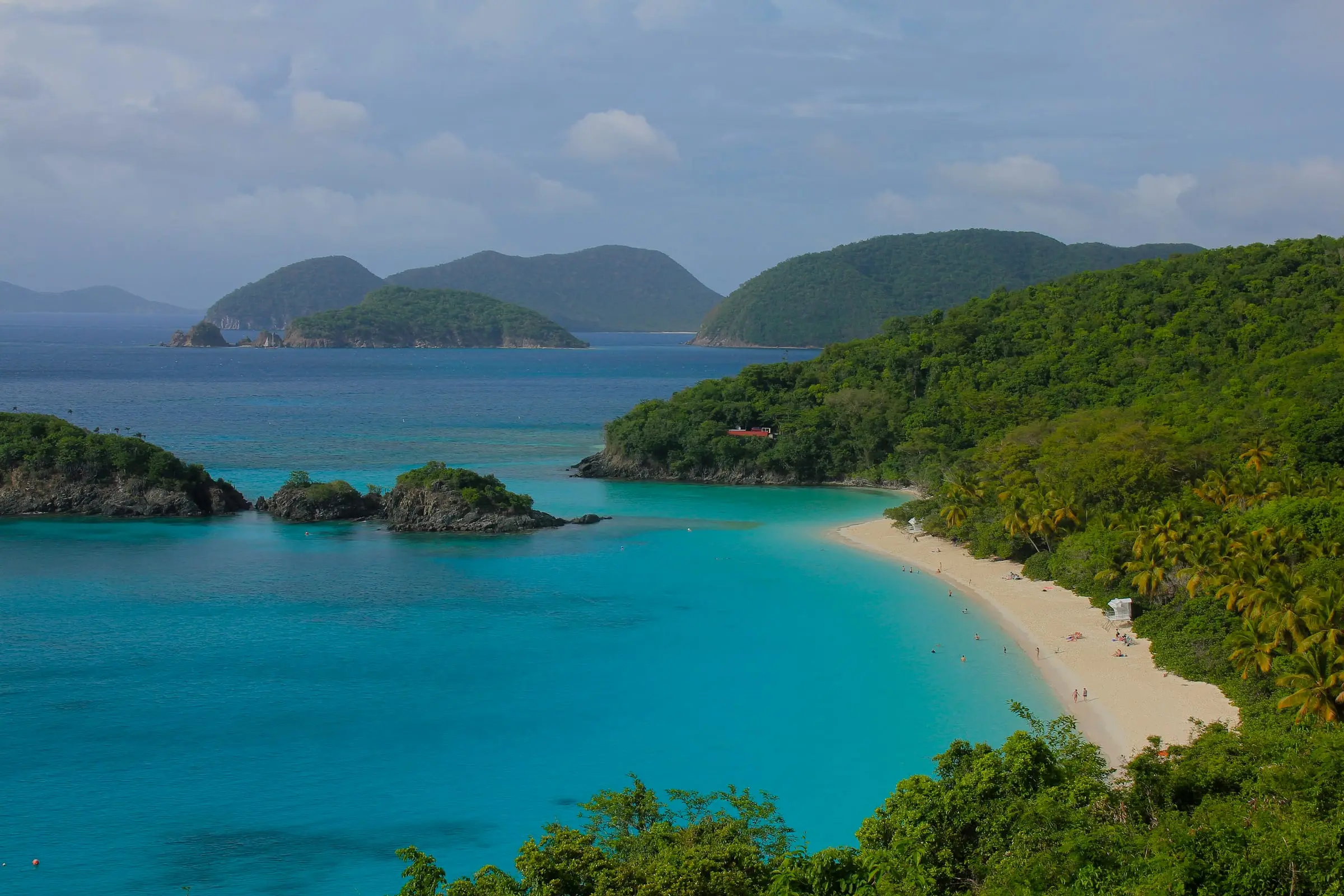
Two facts shape almost everything about owning or renting here. The National Park Service says two-thirds of St. John is national park. And there is no airport, so the usual way in is a flight to St. Thomas followed by a ferry or car barge.
Like the rest of the territory, St. John has been part of the United States since the 1917 purchase from Denmark. If you are new to buying here, start with buying property in the USVI and the costs involved.
Towns and neighborhoods
St. John has two Census designated places. Cruz Bay, on the west end, is the largest, with 2,772 residents in 2020. Coral Bay, on the east side, had 615. About 500 residents lived outside both.
Cruz Bay
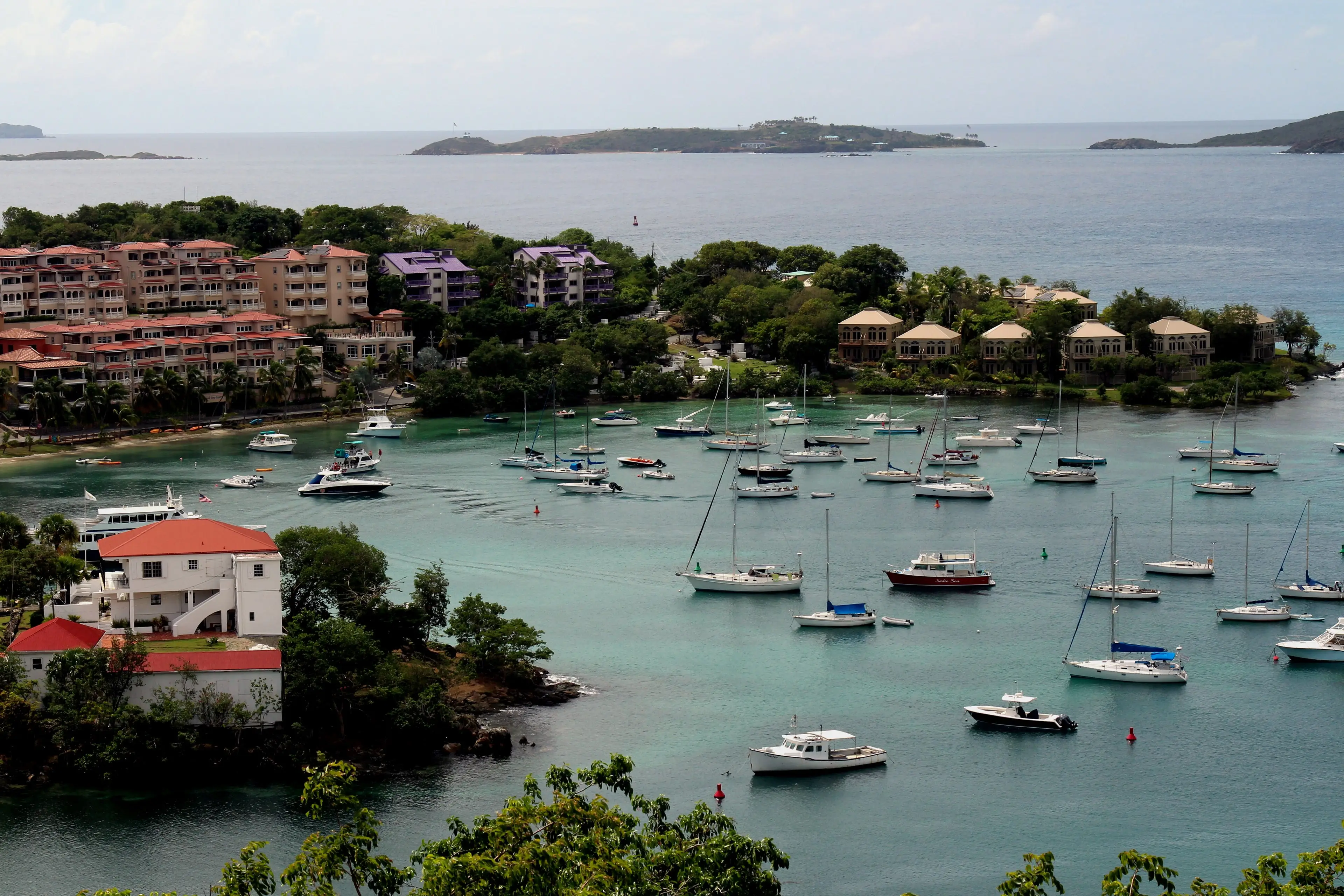
Cruz Bay is where the boats from St. Thomas land. According to the Virgin Islands Port Authority, passenger ferries berth at the Victor William Sewer Marine Facility, and car barges use the Theovald Moorehead Dock and Terminal at Enighed Pond. The park’s Visitor Center is an easy walk from the ferry terminal. Read the Cruz Bay area guide.
Coral Bay
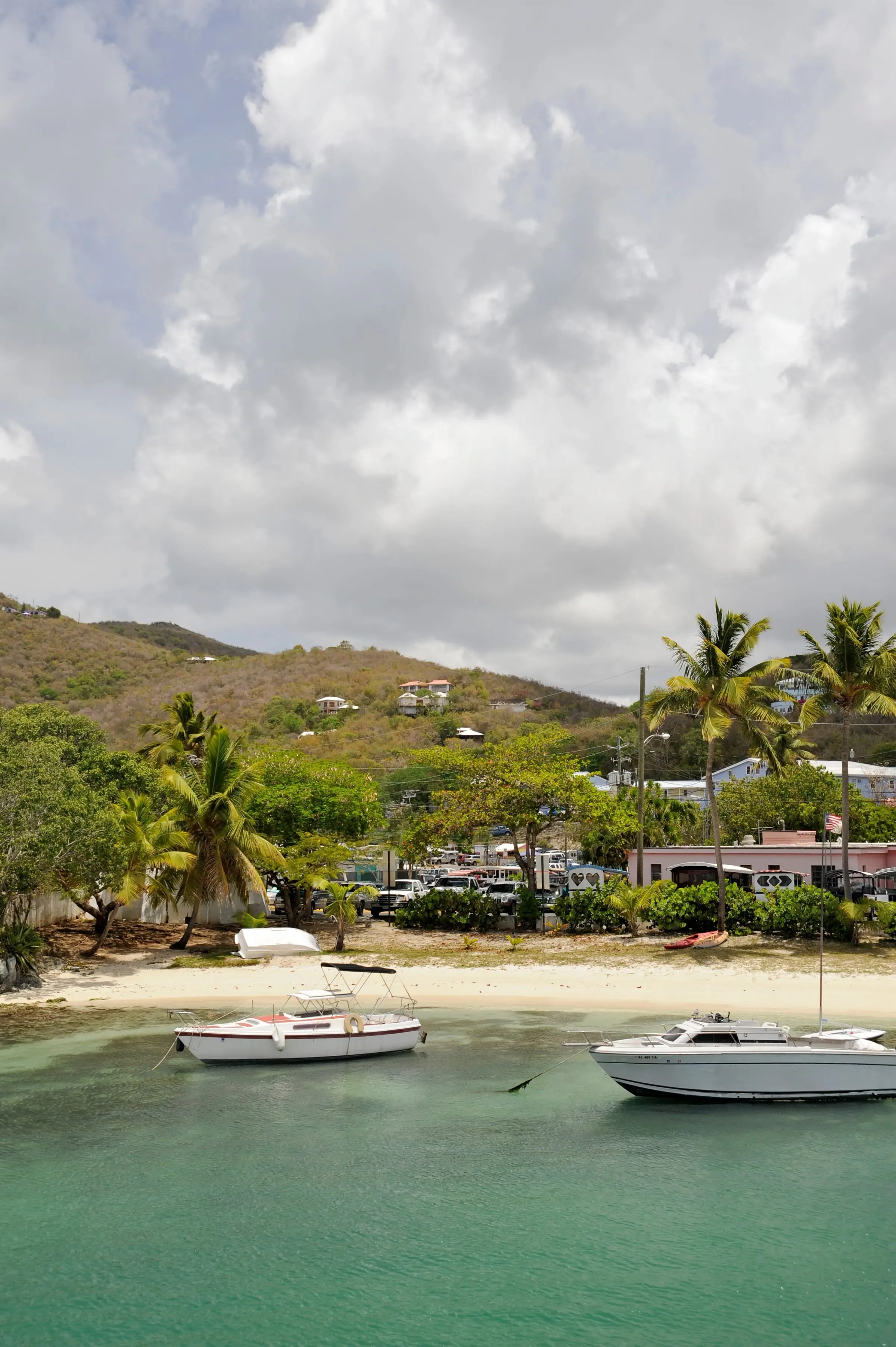
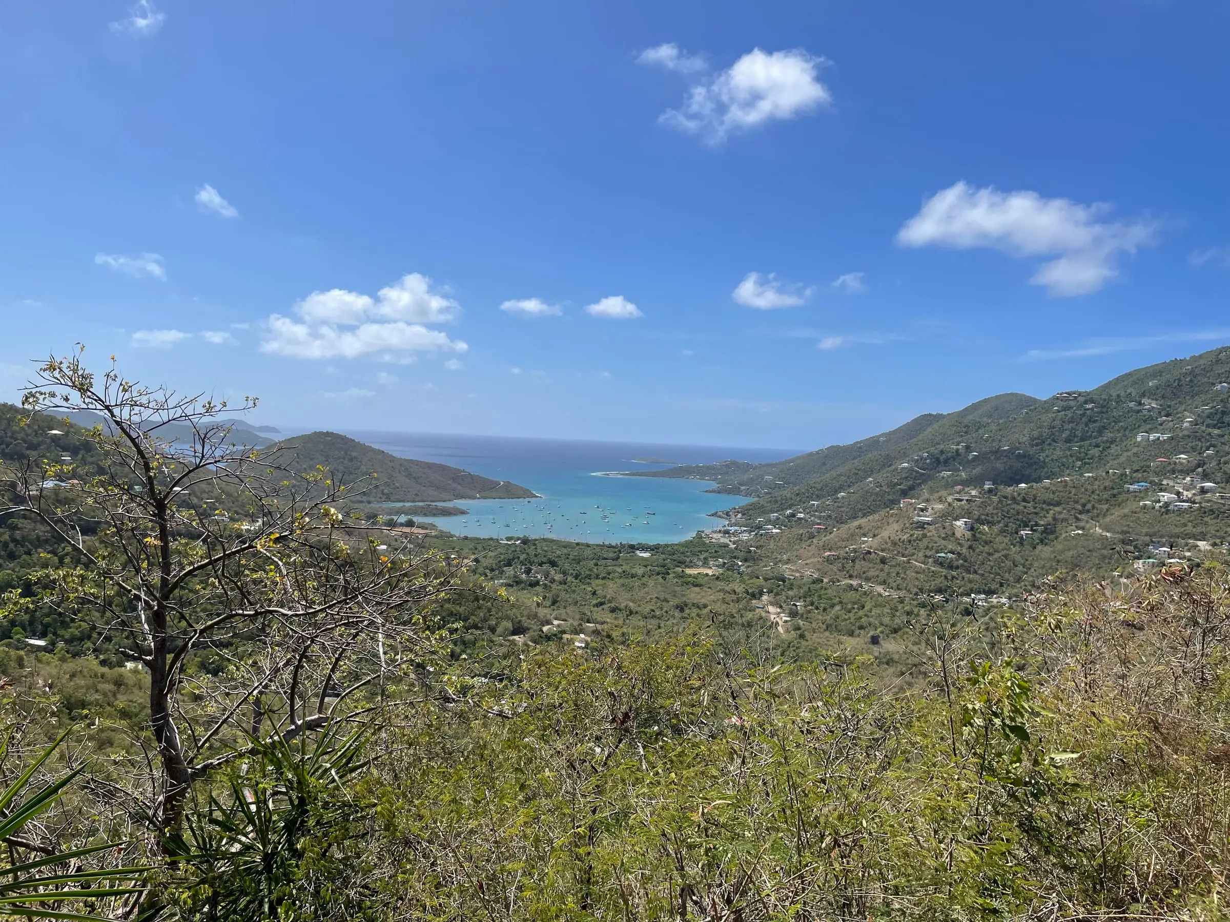
Coral Bay has a long history. The National Park Service records that the 1733 insurrection began on November 23, 1733, when enslaved people seized the Danish West India Company’s fort in Coral Bay. The Coral Bay subdistrict was the only one of St. John’s four subdistricts to gain residents between 2010 and 2020. Read the Coral Bay area guide.
The four Census subdistricts
Land areas come from Census boundary data.
| Subdistrict | Residents (2020) | Since 2010 | Housing units (2020) | Land area |
|---|---|---|---|---|
| Cruz Bay | 2,652 | Down 2.0% | 2,459 | About 2.8 sq mi |
| Coral Bay | 724 | Up 14.2% | 667 | About 2.8 sq mi |
| Central | 470 | Down 39.7% | 466 | About 13.2 sq mi |
| East End | 35 | Down 31.4% | 53 | About 0.9 sq mi |
Central is by far the largest by land, about two-thirds of the island, yet it had only 470 residents. Cruz Bay and Coral Bay together held 87 percent of the island’s people on about 28 percent of its land.
Estates
Across the USVI, places and properties are identified by estate. The Census Bureau explains that estates have legally defined boundaries, primarily those of the former plantations that existed when Denmark transferred the islands to the United States in 1917, and that their names are in common use by residents and in government administration. Estates do not always sit neatly inside one subdistrict.
The most populous St. John estates in 2020 were Enighed (774 residents), Carolina (340), Pastory (295), Chocolate Hole (278) and Contant (274). Look up any estate on our estate map.
Living next to a national park
Congress authorized Virgin Islands National Park in 1956, and the law directs the Secretary of the Interior to administer and preserve the park in its natural condition. The Park Service describes 7,259 acres of land, about 60 percent of the island’s land mass, plus 5,650 acres of submerged lands. The separate Virgin Islands Coral Reef National Monument includes federal submerged lands within the 3-mile belt off St. John.
Park rules also reach neighbors. The superintendent’s compendium (2026 update) includes these:
- Pets are prohibited on park beaches.
- Flying a drone requires the superintendent’s written approval.
- Boats pay an overnight fee to moor or anchor in the park between 5 p.m. and 7 a.m.
- Anchoring in the monument is prohibited unless you hold a Hurricane Hole storm berth permit.
The compendium even mentions homeowners. It closes the Trunk Bay and Cinnamon Bay administrative access roads to public traffic, but notes they serve homeowners who need them to reach their property. If a home borders the park or is reached by a road through it, ask a real estate attorney to confirm the access rights in writing.
Property types
The Census counts homes by the number of units in each building, not by ownership type, so it does not say how many are condominiums. Here is what the 2020 count shows for St. John:
- Detached single-family homes: 51.9 percent of all housing units.
- Attached single-family homes: 9.2 percent.
- Buildings with two to four units: 23.1 percent.
- Buildings with 5 to 19 units: 13.7 percent. Buildings with 20 or more units held 0.7 percent.
The mix varies by area. Detached houses made up 40.3 percent of homes in the Cruz Bay subdistrict and 74.1 percent in Coral Bay. About three in four homes on the island were built in 1980 or later.
Many homes are not lived in year-round. At the time of the count, 915 homes, or 25.1 percent of all housing units, were vacant and held for seasonal, recreational or occasional use. On St. Thomas the figure was 5.8 percent.
Estimate as of October 2026. In the 2020 Census, the latest full count, the median value of owner-occupied homes on St. John was $591,160 ($669,903 in the Cruz Bay subdistrict and $474,194 in Coral Bay). These are 2020 Census figures, not current asking or sale prices. Ask a licensed agent or appraiser for current numbers.
Buying land? Ask about road access, water, wastewater, and whether the lot is in the coastal zone.
Ownership considerations
Deeds, parcels and estates
The Recorder of Deeds, part of the Office of the Lieutenant Governor, records deeds, mortgages, personal liens and tax liens. Its St. Thomas and St. John office is on St. Thomas. The Office of the Tax Assessor links to an online parcel search. Census estate maps are for statistics only and are not legal land descriptions, so have an attorney review the title.
Water and wastewater
In the 2020 Census, 85.2 percent of St. John housing units reported a cistern, catchment, tanks or drums as a water source, 20.5 percent the public system and 20.6 percent a delivery vendor or water truck. A home can report more than one source. The public system run by WAPA for St. Thomas and St. John draws seawater and treats it by reverse osmosis desalination.
A territorial guide hosted by the Department of Planning and Natural Resources (DPNR) says a cistern should hold about three months of drinking water. It recommends inspecting the system weekly and draining, cleaning and disinfecting it every three to five years at a minimum, and after extreme storms. For wastewater, 72.7 percent of homes reported a septic tank or cesspool and 24.7 percent a public sewer. Ask a home inspector to check both systems.
Building near the coast
Under Title 12, Chapter 21 of the Virgin Islands Code, DPNR’s Coastal Zone Management (CZM) staff must assess all proposed development in the first tier, the coastal zone. DPNR’s website has an interactive map showing whether a property falls in Tier 1, plus forms for major and minor land and water permits.
Storms
The Atlantic hurricane season runs from June 1 to November 30, and its peak is September 10, according to the National Hurricane Center. After Hurricane Irma in September 2017, the center reported widespread catastrophic damage on St. Thomas and St. John, including collapsed homes, businesses and power lines. Federal disaster declarations for both Irma and Maria that month included St. John. Get insurance quotes before you commit to a property.
Rental considerations
Renters occupied 952 of the island’s 1,854 occupied homes in 2020, or 51.3 percent. In the Cruz Bay subdistrict the share was 59.6 percent.
Estimate as of October 2026. The 2020 Census put the median gross rent on St. John at $1,283 a month ($1,251 in the Cruz Bay subdistrict and $1,272 in Coral Bay). These figures are from 2020 and are not today’s asking rents.
Short-term rentals carry extra steps. The Bureau of Internal Revenue’s hotel room tax form treats anyone renting an apartment, condominium, timeshare, villa or residence for less than 90 days as a hotel guest. The operator collects the tax and files monthly.
Estimate as of October 2026. BIR Form 722 V.I. (revised May 2017) shows a hotel room tax of 12.5 percent of the gross room rate, paid to the BIR by the 30th day of the following month. Confirm the current rate and registration steps with the BIR.
The Department of Licensing and Consumer Affairs lists tax clearance, a police records check, a zoning review and, for some businesses, a fire inspection as part of getting a business license. Ask the department whether your plans need one, and read any condominium or association rules on rentals. We do not estimate rental income or occupancy. See renting in the USVI and investing for more.
Getting here and getting around
The Park Service notes that there are no airports on St. John. You fly into Cyril E. King Airport (STT) on St. Thomas, rent a car or take a taxi to Red Hook on the East End, and cross by car barge or passenger ferry.
The Port Authority’s schedule page lists passenger ferries from Red Hook to Cruz Bay from 5:30 a.m. on weekdays (6:30 a.m. on weekends) until 11:30 p.m., with the last boat back from Cruz Bay at 11:00 p.m. It also lists routes to Cruz Bay from Charlotte Amalie and Crown Bay. Schedules change with the seasons.
Car barges are privately owned. They run between the Noel “Breeze” Boynes Car Ferry Dock in Red Hook and the Theovald Moorehead Dock and Terminal at Enighed Pond in Cruz Bay. Buying a ticket online does not guarantee a spot on a particular barge.
Estimate as of October 2026. Fares listed by the Port Authority: $8.15 one way on the Red Hook passenger ferry for non-residents ($6 for residents), plus $4 per piece of luggage; about $50 one way for a car on the barges. Fares change, so confirm with the operator.
On the island, you drive on the left. Safari taxi drivers offer island tours, according to the Park Service. In the 2020 Census, 62.6 percent of St. John workers drove to work alone and 13.0 percent walked, with an average trip of 16 minutes. About 7 percent worked on another island.