Where Cruz Bay is
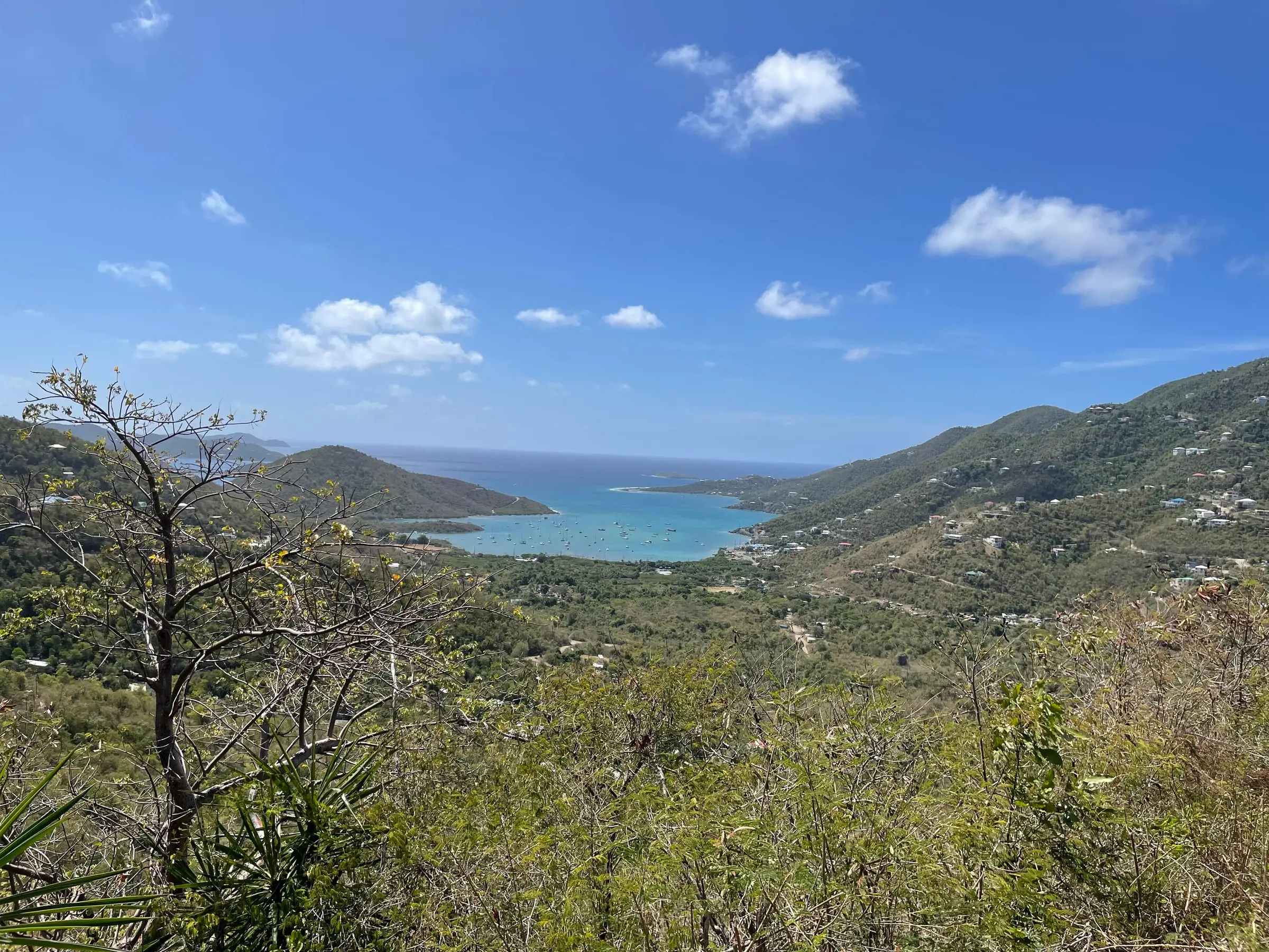
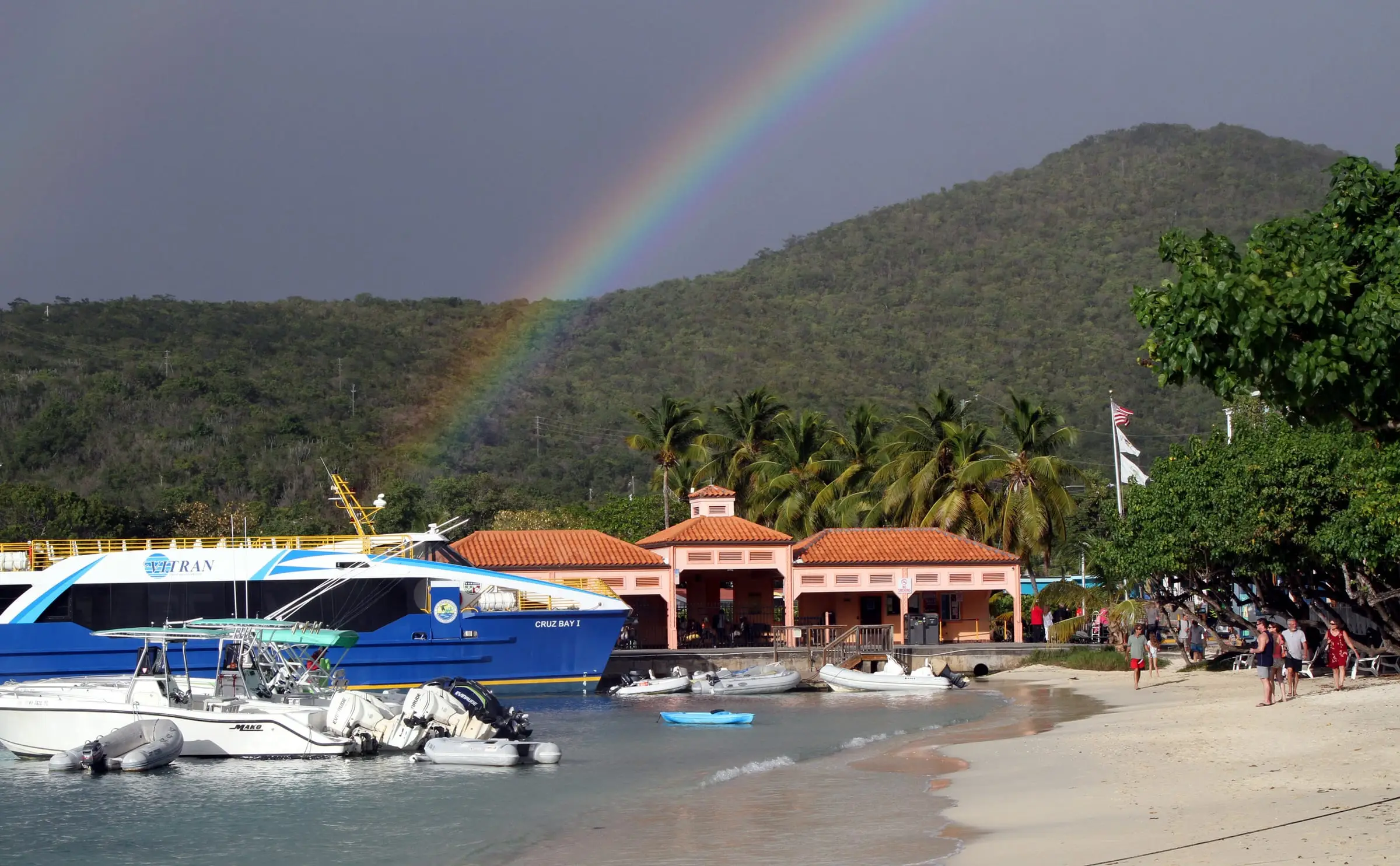
Cruz Bay is on the west side of St. John, and it is where the boats from St. Thomas come in. It is also the island’s largest community. The Cruz Bay census designated place (CDP) had 2,772 residents in 2020, and the Cruz Bay subdistrict, which has slightly different boundaries, had 2,652. That is about 68 percent of everyone on the island.
The national park starts close to town. The National Park Service says you can easily walk from the ferry terminal to the Visitor Center and the Lind Point Trailhead. The one-mile Lind Point Trail leads to Salomon and Honeymoon beaches.
For the bigger picture, including the ferries from St. Thomas, see our St. John island guide.
The waterfront and the docks
Two Virgin Islands Port Authority facilities serve Cruz Bay.
- The Victor William Sewer Marine Facility, known as The Creek, is used for passenger ferries, charters and tenders. It was St. John’s cargo port until a new cargo facility opened at Enighed Pond in 2006. In June 2008 the Legislature renamed it for Captain Victor William Sewer, who in 1964 started the first regular boat service between Cruz Bay and Red Hook with Captain Loredon Boynes.
- The Theovald Moorehead Dock and Terminal at Enighed Pond opened on April 21, 2006. The Port Authority calls it the car ferry and cargo port. It offers parking and ground transportation, and its administrative building has public restrooms.
Boat owners should know the park rules near town. The superintendent’s compendium allows anchoring in the designated Cruz Bay area for no more than three hours, between 6 a.m. and 6 p.m., and prohibits overnight anchoring there. It also bars parking trailers, boats or vehicles on or around the Cruz Bay boat ramp.
Cruz Bay by the numbers
The Census Bureau reports figures for both the subdistrict and the CDP:
- Subdistrict: 2,652 residents in 2020, down 2.0 percent from 2,706 in 2010. Housing units rose 10.0 percent, from 2,236 to 2,459. Land area is about 2.8 square miles.
- CDP: 2,772 residents in 2020, down 3.3 percent from 2,866. Housing units rose 9.3 percent, from 2,362 to 2,581. Land area is about 3.0 square miles.
In both, the population dipped slightly while the number of homes grew.
Estates in and around Cruz Bay
Like the rest of the USVI, property here is identified by estate. Census boundary data place these estates in or around the Cruz Bay subdistrict, shown with their 2020 population:
- Enighed: 774, the most populous estate on St. John
- Pastory: 295
- Chocolate Hole: 278
- Contant: 274
- Grunwald: 251
- Bellevue: 174
- Bethany: 138
- Glucksberg: 119
- Fish Bay: 115
- Cruz Bay Town: 87
- Gifft and Regenback: 86
- Beverhoudstberg: 60
- Rendezvous and Ditlef: 45
- San Soucci and Guinea Gut: 12
Estates do not necessarily nest inside subdistricts. The Census Bureau also notes that its boundaries are for statistics only and are not legal land descriptions, so rely on the deed and the official land records. You can explore boundaries on our estate map.
Homes and housing
Cruz Bay has the island’s highest share of homes in buildings with more than one unit. In the 2020 Census, for the subdistrict:
- 40.3 percent of housing units were detached single-family homes, against 51.9 percent across St. John.
- 48.4 percent were in buildings with two or more units.
- Renters occupied 59.6 percent of occupied homes.
- 19.9 percent of all housing units were vacant and held for seasonal, recreational or occasional use.
- More of the homes standing in 2020 were built in the 1980s (614) than in any other decade.
Estimate as of October 2026. The 2020 Census put the median value of owner-occupied homes in the Cruz Bay subdistrict at $669,903 and the median gross rent at $1,251 a month. These are 2020 figures, not current prices or asking rents.
Water, wastewater and power
In the 2020 Census, 82.6 percent of housing units in the subdistrict reported a cistern, catchment, tanks or drums as a water source, 25.9 percent the public system and 24.6 percent a delivery vendor or water truck. A home can report more than one source.
For wastewater, 66.7 percent reported a septic tank or cesspool and 32.1 percent a public sewer, the highest public sewer share of any St. John subdistrict.
Power lines are changing too. In September 2021 the USVI Office of Disaster Recovery reported that WAPA was replacing overhead lines with underground ones to reduce hurricane and windstorm damage, in a project funded jointly by FEMA and HUD. The $11.9 million first phase, covering areas including downtown Cruz Bay and Northshore Road, was expected to finish in March 2022. Ask WAPA about the street you are considering.
Questions to ask in Cruz Bay
- Is the home on public sewer or a septic system, and when was it last inspected?
- How large is the cistern, and when was it last cleaned?
- Where will you park, and is a space included?
- How did the building come through the 2017 hurricanes? The National Hurricane Center reported that significant storm surge likely occurred on St. Thomas and St. John during Irma.
- For a condominium, what do the rules say about rentals, pets and renovations?
- For anything on the water, is the lot in the coastal zone (Tier 1)? DPNR’s website has a map to check.
A home inspector and a real estate attorney can help you answer these. For daily life on the island, read Living in St. John.