Living in St. John
What daily life on St. John looks like in the public data: a national park on two-thirds of the island, ferries instead of an airport, cistern water and short commutes.
Moving, St. JohnBy USVI Realty Editorial TeamUpdated October 28, 20266 minute read
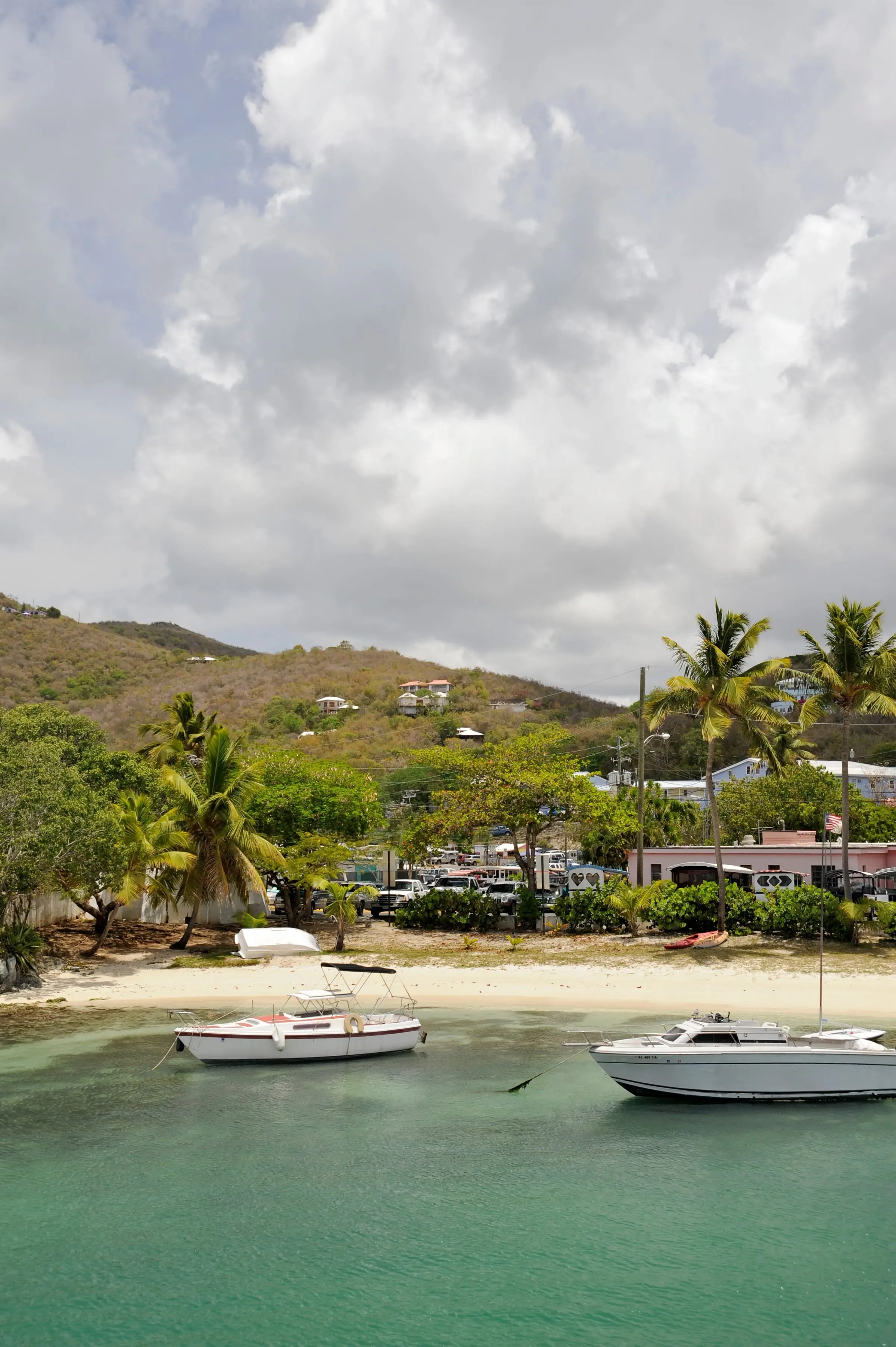
Photo: Fred Hsu, CC BY-SA 3.0
St. John in brief
St. John is the smallest and least populated of the three main U.S. Virgin Islands. The 2020 Census counted 3,881 residents on about 19.7 square miles of land, with an average of 2.08 people per household. The National Park Service says two-thirds of the island is national park, and there is no airport.
Those two facts shape daily life, as the sections below show. This guide sticks to what public data say. For towns, estates and property questions, see the St. John island guide.
Where people live
Most residents live in the Cruz Bay subdistrict on the west side, which had 2,652 people in 2020, about 68 percent of the island. The Coral Bay subdistrict on the east side had 724, the Central subdistrict 470 and the East End subdistrict 35. Coral Bay was the only one of the four to grow between 2010 and 2020.
Our area guides go deeper on Cruz Bay and Coral Bay.
Life next to the park
Parkland is part of the neighborhood. The Park Service notes that the self-guided trails at the Annaberg and Cinnamon Bay sugar mills are half a mile or less, and that the Lind Point Trail runs from the Visitor Center in Cruz Bay to Salomon and Honeymoon beaches.
The park’s rules apply to residents as well as visitors. The superintendent’s compendium (2026 update) includes these:
- Pets are prohibited on park beaches.
- Flying a drone requires the superintendent’s written approval.
- Camping is allowed only in established, marked sites in the Cinnamon Bay Campground area.
- Gathering certain natural products by hand for personal use, such as coconuts, mangoes and seagrapes, is permitted.
If you plan to move with a dog, or with a drone for real estate photos, read the full compendium first.
Work and the daily commute
Most people who live on St. John also work there. Of the 1,888 workers living in households in the 2020 Census, 92.6 percent worked on St. John, 6.8 percent on another island of the territory and 0.6 percent outside the U.S. Virgin Islands.
The job mix leans toward visitors and building:
- Arts, entertainment, recreation, accommodation and food services: 18.9 percent of employed residents.
- Construction: 17.3 percent.
- Retail trade: 11.3 percent.
- Professional, scientific, management, administrative and waste management services: 10.9 percent.
Self-employment is common. Self-employed workers in unincorporated businesses, together with unpaid family workers, made up 18.0 percent of employed residents, and government workers 13.1 percent. On St. Thomas, government workers were 26.1 percent.
Commutes are short. In 2020, 62.6 percent of workers drove alone, 12.2 percent carpooled, 13.0 percent walked and 2.8 percent took a boat, ferry or water taxi. Another 4.7 percent worked from home. The average trip took 16.0 minutes, against 19.1 minutes on St. Thomas.
Estimate as of October 2026. The 2020 Census put the median household income on St. John at $50,352 for 2019, compared with $40,464 on St. Thomas. These figures are from the last full count and are not current earnings.
Getting to St. Thomas and beyond
There is no airport on St. John, so flights leave from Cyril E. King Airport (STT) on St. Thomas, according to the Park Service. To reach it, you cross by water.
The Virgin Islands Port Authority lists passenger ferries from Cruz Bay to Red Hook from 6:00 a.m. to 11:00 p.m., plus routes to Charlotte Amalie and Crown Bay. Car barges, which are privately owned, run between Enighed Pond in Cruz Bay and Red Hook. Buying a barge ticket online does not guarantee a spot on a particular sailing. Schedules change with the seasons.
Estimate as of October 2026. The Port Authority lists the Red Hook passenger ferry at $6 one way for residents and $8.15 for non-residents. One car barge operator’s listing says resident rates require a valid USVI ID. Confirm current fares with the operators.
On the island, you drive on the left, as everywhere in the Virgin Islands.
Housing on a small island
St. John added homes while it lost people. The number of housing units rose 5.6 percent between 2010 and 2020, to 3,645, while the population fell 6.9 percent.
Many of those homes are not lived in year-round. At the time of the 2020 count, 50.9 percent of housing units were occupied, and 25.1 percent were vacant and held for seasonal, recreational or occasional use. On St. Thomas, that seasonal share was 5.8 percent.
Renters occupied 51.3 percent of St. John’s occupied homes. The split depends on where you look: 59.6 percent in the Cruz Bay subdistrict, but 31.6 percent in Coral Bay. Detached single-family homes made up 51.9 percent of all housing units.
Estimate as of October 2026. In the 2020 Census, the median gross rent on St. John was $1,283 a month and the median value of owner-occupied homes was $591,160. These are 2020 figures, not today’s asking rents or prices.
For current listings and rents, talk with licensed local professionals. Our Rent and Buy pages explain what to ask.
Water, wastewater and power
Water is something you manage yourself. A guide hosted by the Department of Planning and Natural Resources (DPNR) estimates that 90 percent of USVI homes have active cisterns that collect rainwater for their potable water. On St. John, 85.2 percent of housing units in the 2020 Census reported a cistern, catchment, tanks or drums as a water source, 20.6 percent a delivery vendor or water truck and 20.5 percent the public system. Homes can report more than one source.
The DPNR guide treats cistern care as a health issue. It cites a 2019 Department of Health study that found E. coli in 80 percent of samples taken directly from cisterns. It advises:
- sizing a cistern to provide about three months of household drinking water;
- inspecting the system weekly;
- draining, cleaning and disinfecting it every three to five years at a minimum;
- keeping a separate emergency supply of about 1 gallon per person per day, ideally for two weeks.
WAPA’s public water for St. Thomas and St. John comes from seawater treated by reverse osmosis desalination. For wastewater, 72.7 percent of St. John homes reported a septic tank or cesspool, and 24.7 percent a public sewer.
On power, the USVI Office of Disaster Recovery reported in 2021 that WAPA was moving overhead lines underground in parts of Cruz Bay, in a project funded jointly by FEMA and HUD, to reduce hurricane and windstorm damage.
Hurricane season
The Atlantic hurricane season runs from June 1 to November 30, with a peak on September 10, according to the National Hurricane Center. In September 2017, Hurricane Irma caused widespread catastrophic damage on St. Thomas and St. John, the center reported, and stripped the islands of most of their foliage. Federal disaster declarations for Irma and then Hurricane Maria that month both included St. John.
The DPNR cistern guide points residents to the Virgin Islands Territorial Emergency Management Agency (VITEMA) for weather alerts. Before you commit to a home or a lease, ask:
- How are windows and doors protected in a storm?
- How old is the roof, and how did the building do in 2017?
- Is there a generator or other backup power?
- What would insurance cost here? A licensed property insurance professional can quote it.
Renting before you buy
Renting first can be a way to learn an island before buying. On St. John, these questions are worth asking any landlord:
- Who pays for water deliveries if the cistern runs low?
- Is the home on a septic system or public sewer?
- Is there backup power, and who pays to run it?
- What happens to the lease if a storm damages the home?
- Is parking included, and are pets allowed?
Get the answers in writing, and have a professional review the lease if anything is unclear.
Where to go next
- Compare islands in St. John vs. St. Thomas.
- Read Buying property in the USVI and the costs of buying.
- Look up any estate on our estate map.
- Find government offices and utilities in our directory.
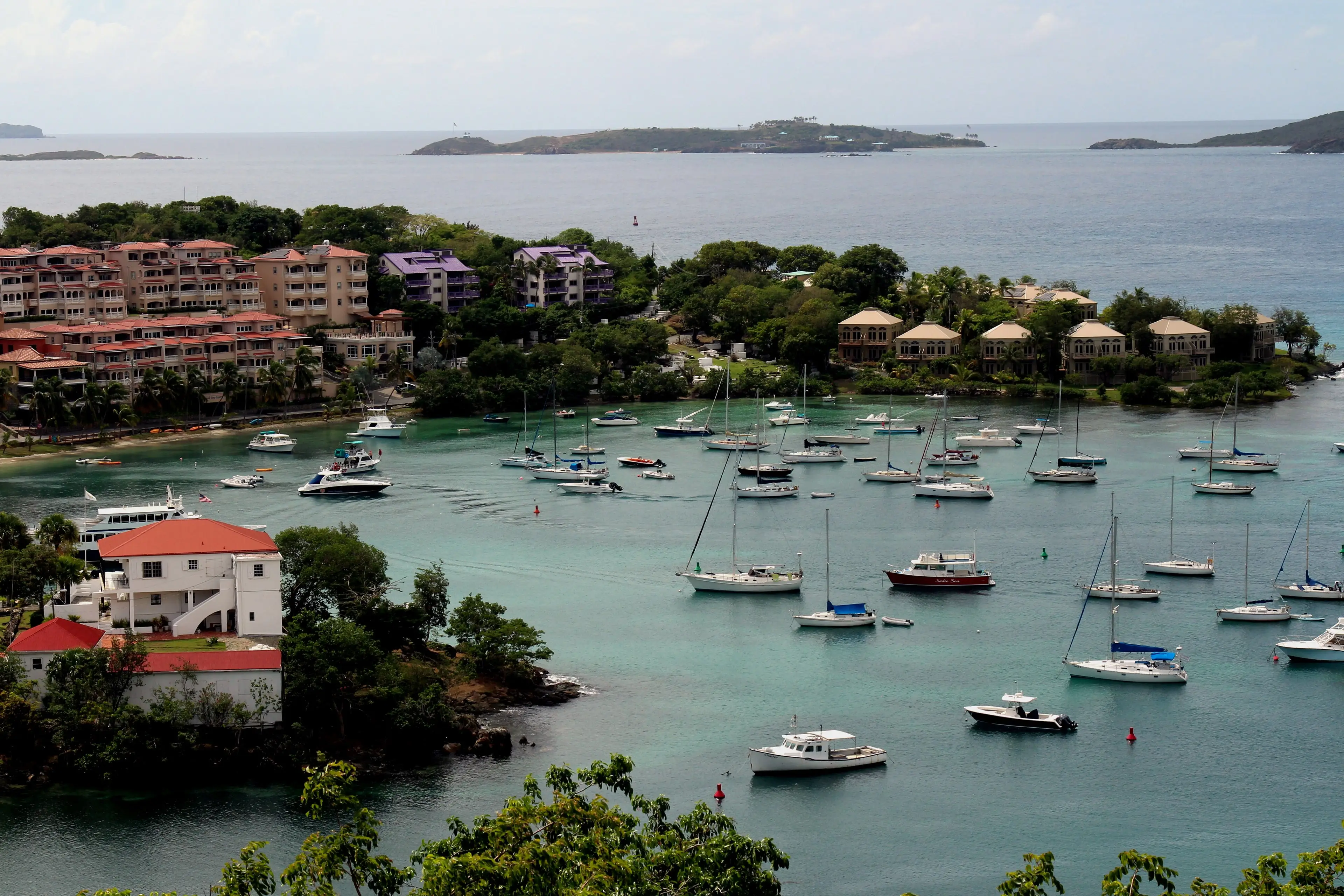
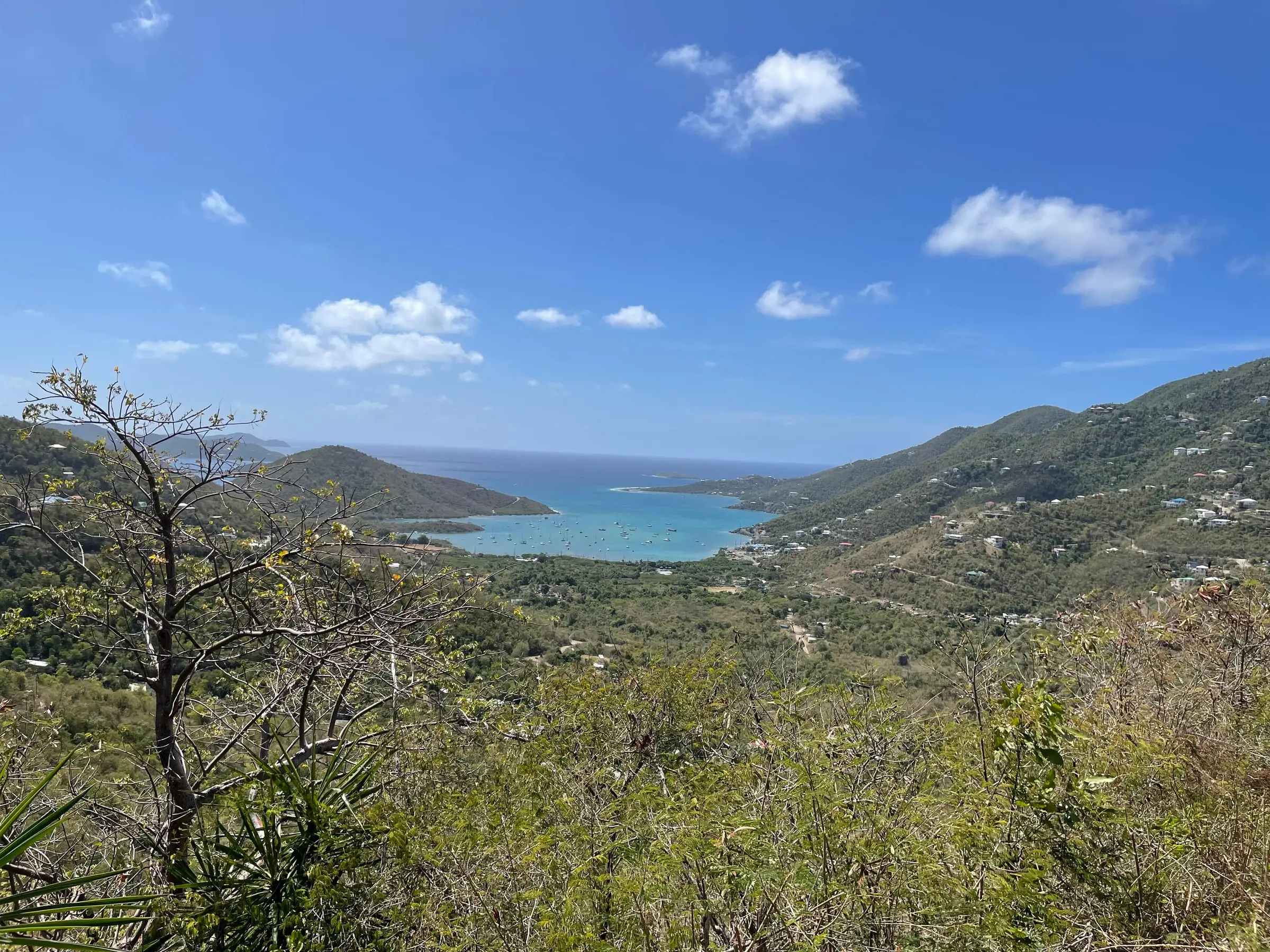
Photo: Eoghanacht, CC0
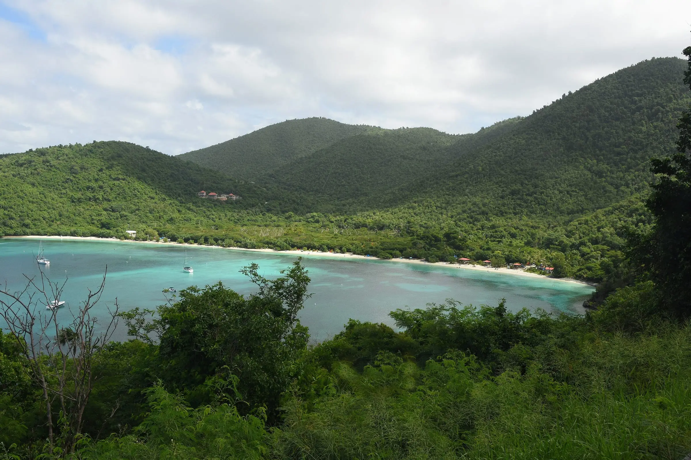
Photo: Amaury Laporte, CC BY 2.0
Questions
How do St. John residents get to St. Thomas?
By boat. The Virgin Islands Port Authority lists passenger ferries from Cruz Bay to Red Hook, Charlotte Amalie and Crown Bay, and privately owned car barges between Enighed Pond in Cruz Bay and Red Hook. Schedules and fares change, so check with the operators.
Do most St. John residents work on the island?
Yes, according to the 2020 Census. Of St. John workers living in households, 92.6 percent worked on St. John, 6.8 percent worked on another island of the territory and 0.6 percent worked outside the U.S. Virgin Islands.
Can I take my dog to the beach on St. John?
Not on park beaches. The national park's superintendent's compendium prohibits pets on park beaches. Ask about the rules for any beach or trail before you go.
Is this guide advice about my move or a specific property?
No. It is general, educational information drawn from public sources. For decisions about a lease, a purchase, insurance or taxes, talk with licensed professionals.
Sources
- Table 1. Population of the United States Virgin Islands: 2010 and 2020, U.S. Census Bureau (accessed October 28, 2026)
- Table 3. Housing Unit Counts of the United States Virgin Islands: 2010 and 2020, U.S. Census Bureau (accessed October 28, 2026)
- 2020 Census Demographic Profile, St. John Island: Selected Housing Characteristics (DP4), U.S. Census Bureau (accessed October 28, 2026)
- 2020 Census Demographic Profile, St. Thomas Island: Selected Housing Characteristics (DP4), U.S. Census Bureau (accessed October 28, 2026)
- 2020 Census Demographic Profile, Cruz Bay subdistrict: Selected Housing Characteristics (DP4), U.S. Census Bureau (accessed October 28, 2026)
- 2020 Census Demographic Profile, Coral Bay subdistrict: Selected Housing Characteristics (DP4), U.S. Census Bureau (accessed October 28, 2026)
- 2020 Census Demographic Profile, St. John Island: Selected Economic Characteristics (DP3), U.S. Census Bureau (accessed October 28, 2026)
- 2020 Census Demographic Profile, St. Thomas Island: Selected Economic Characteristics (DP3), U.S. Census Bureau (accessed October 28, 2026)
- TIGERweb: U.S. Virgin Islands county-equivalents (island land area), U.S. Census Bureau (accessed October 28, 2026)
- Virgin Islands National Park, National Park Service (accessed October 28, 2026)
- Virgin Islands National Park: Basic Information, National Park Service (accessed October 28, 2026)
- Virgin Islands National Park: Frequently Asked Questions, National Park Service (accessed October 28, 2026)
- Virgin Islands National Park: Directions, National Park Service (accessed October 28, 2026)
- Virgin Islands National Park: Superintendent's Compendium (2026 update), National Park Service (accessed October 28, 2026)
- Ferry and Cargo Schedules, Virgin Islands Port Authority (accessed October 28, 2026)
- Your Health and Cisterns: A USVI Comprehensive Guide (January 2024), Virgin Islands Department of Planning and Natural Resources (accessed October 28, 2026)
- Water Quality Report 2025, St. Thomas and St. John, Virgin Islands Water and Power Authority (accessed October 28, 2026)
- Underground Electrical Project on St. John Continues (September 9, 2021), USVI Office of Disaster Recovery (accessed October 28, 2026)
- Tropical Cyclone Climatology, NOAA National Hurricane Center (accessed October 28, 2026)
- Tropical Cyclone Report: Hurricane Irma (AL112017), 30 August to 12 September 2017, NOAA National Hurricane Center (accessed October 28, 2026)
- OpenFEMA: Disaster Declarations Summaries, DR-4335 (Irma) and DR-4340 (Maria), Federal Emergency Management Agency (accessed October 28, 2026)