St. John vs. St. Thomas
Neighbors linked by ferries and car barges, but very different places to live. Compare population, land, the national park, housing, work and commutes with sourced figures.
MovingBy USVI Realty Editorial TeamUpdated October 28, 20266 minute read
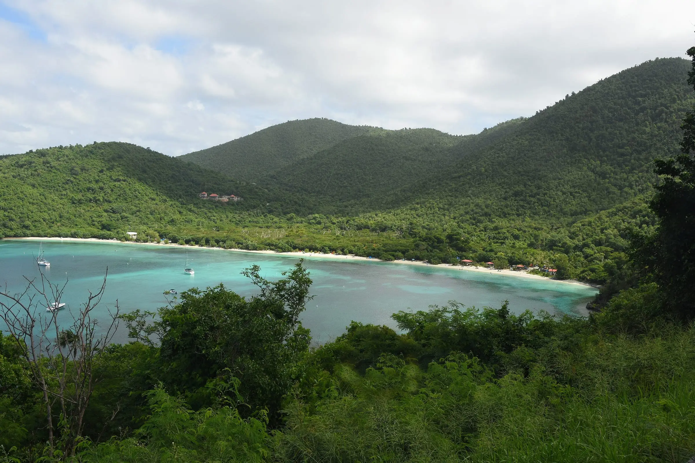
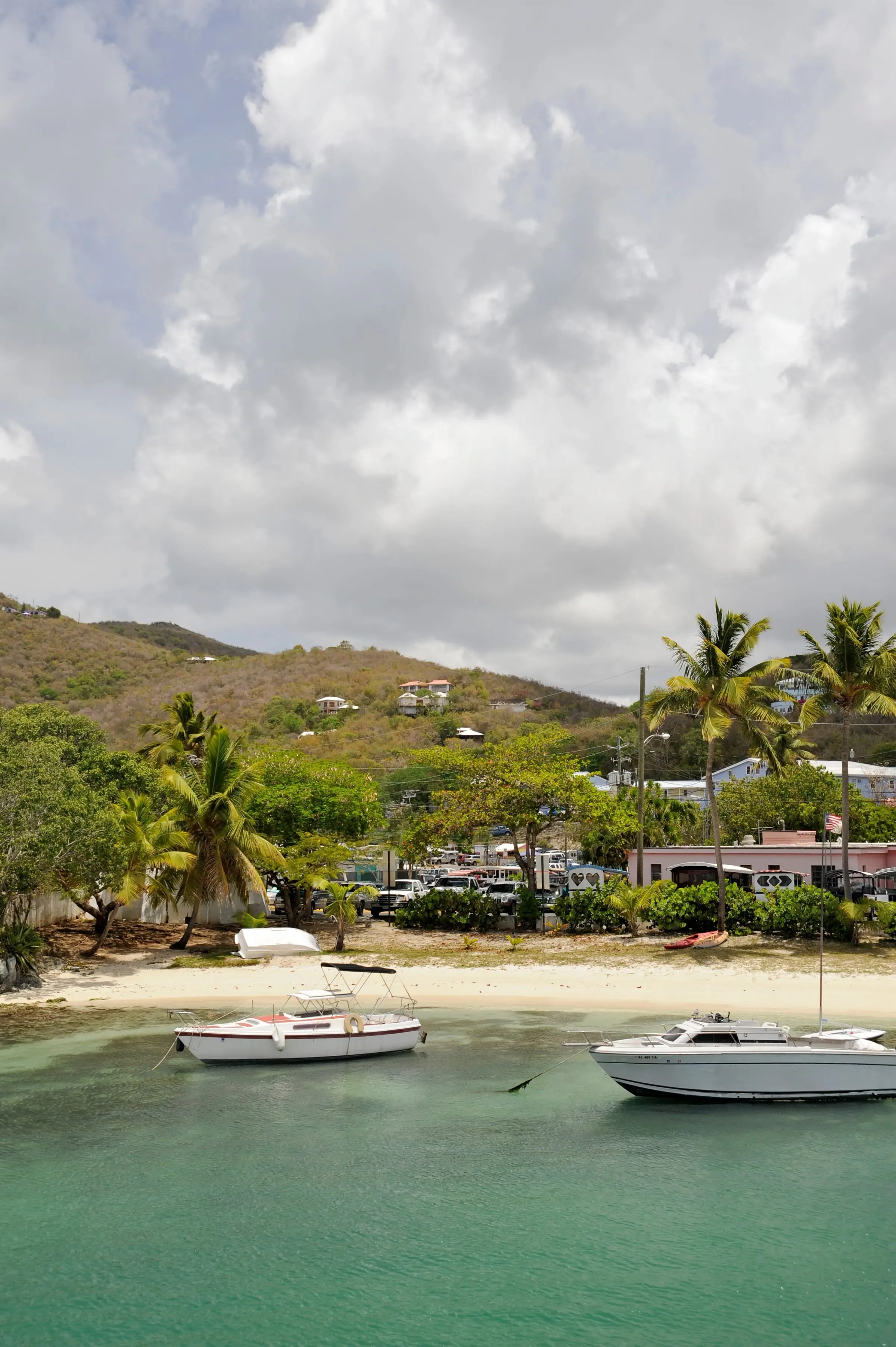
Photo: Amaury Laporte, CC BY 2.0
At a glance
St. Thomas and St. John are neighbors. Passenger ferries and car barges link Red Hook, on St. Thomas’s East End, with Cruz Bay on St. John. Yet the two islands are very different places to live, as the public data show.
| St. John | St. Thomas | |
|---|---|---|
| Population (2020 Census) | 3,881 | 42,261 |
| Change since 2010 | Down 6.9% | Down 18.2% |
| Land area | About 19.7 sq mi | About 31 sq mi |
| Largest community (2020) | Cruz Bay CDP, 2,772 | Charlotte Amalie town, 8,194 |
| Housing units (2020) | 3,645 | 28,142 |
| Homes held for seasonal or occasional use | 25.1% | 5.8% |
| Detached single-family homes | 51.9% | 25.1% |
| Occupied homes rented | 51.3% | 59.4% |
| Homes reporting a cistern water source | 85.2% | 72.6% |
| Homes on public sewer | 24.7% | 47.4% |
| Average commute | 16.0 minutes | 19.1 minutes |
| Airport | None | Cyril E. King Airport (STT) |
| National park land | About two-thirds of the island | 90% of Hassel Island |
Figures are from the 2020 Census unless noted. Land areas come from Census boundary data, and park figures from the National Park Service.
Size and population
St. Thomas has about 11 times as many people as St. John on about 1.6 times the land. That works out to roughly 1,350 residents per square mile of land on St. Thomas and about 200 on St. John. Both islands lost residents between 2010 and 2020, but St. Thomas lost a larger share: 18.2 percent against 6.9 percent.
The Census Bureau divides St. Thomas into seven subdistricts. In 2020 they were Charlotte Amalie (14,477 residents), Northside (8,889), East End (7,502), Tutu (5,129), Southside (4,112), West End (1,988) and Water Island (164). Charlotte Amalie town alone had 8,194 residents, more than twice the population of all of St. John.
St. John has four subdistricts: Cruz Bay (2,652), Coral Bay (724), Central (470) and East End (35). Its largest community, the Cruz Bay CDP, had 2,772. Our island guides cover St. Thomas and St. John in detail.
Getting there and between the two
St. Thomas has the airport. The Park Service notes that there are no airports on St. John, so trips start with a flight into Cyril E. King Airport (STT) on St. Thomas, then a taxi or rental car to Red Hook and a passenger ferry or car barge across.
The Virgin Islands Port Authority lists passenger ferries from Red Hook to Cruz Bay from 5:30 a.m. on weekdays (6:30 a.m. on weekends) until 11:30 p.m., and from Cruz Bay back to Red Hook from 6:00 a.m. until 11:00 p.m. It also lists routes between Cruz Bay and both Charlotte Amalie and Crown Bay. Privately owned car barges run between Red Hook and Enighed Pond in Cruz Bay. Schedules change with the seasons.
Some people cross for work. In the 2020 Census, 6.8 percent of St. John workers and 6.1 percent of St. Thomas workers worked on a different island from the one they lived on. Boat, ferry or water taxi commuters were 2.8 percent of St. John workers and 1.4 percent on St. Thomas. For the departure side, see our guide to Red Hook and the East End.
The national park
The biggest difference on the map is the park. The Park Service says two-thirds of St. John is national park, with 7,259 acres of land and 5,650 acres of submerged lands. On the St. Thomas side, the park owns 122 acres, or 90 percent, of Hassel Island, which Census data list as an estate of St. Thomas.
On St. John, that means parkland is never far away, and neither are park rules. The superintendent’s compendium, for example, prohibits pets on park beaches. On St. Thomas, the park is a much smaller presence.
Housing compared
St. Thomas has almost eight times as many homes, and a very different mix:
- Building types. Detached single-family homes made up 51.9 percent of housing units on St. John and 25.1 percent on St. Thomas. Buildings with two to four units held 43.0 percent of St. Thomas homes, and buildings with 20 or more units 7.7 percent, against 0.7 percent on St. John. If you are weighing an apartment-style home, see buying a condo in St. Thomas.
- Seasonal homes. On St. John, 25.1 percent of housing units were vacant and held for seasonal, recreational or occasional use, against 5.8 percent on St. Thomas. Only 50.9 percent of St. John homes were occupied at the time of the count, compared with 70.0 percent on St. Thomas.
- Renting. Renters occupied 59.4 percent of occupied homes on St. Thomas and 51.3 percent on St. John. In numbers, that is 11,711 rented homes on St. Thomas and 952 on St. John.
Estimate as of October 2026. In the 2020 Census, the median value of owner-occupied homes was $591,160 on St. John and $356,977 on St. Thomas, and the median gross rent was $1,283 a month on St. John and $960 on St. Thomas. These are 2020 figures, not current asking prices or rents. Ask licensed local professionals for today’s numbers.
Work and commuting
The job mix differs in ways that reflect each island’s economy. Among employed residents in 2020:
- Arts, entertainment, recreation, accommodation and food services: 18.9 percent on St. John and 13.6 percent on St. Thomas.
- Construction: 17.3 percent on St. John and 12.3 percent on St. Thomas.
- Educational services, health care and social assistance: 9.6 percent on St. John and 15.4 percent on St. Thomas.
- Public administration: 4.1 percent on St. John and 10.8 percent on St. Thomas.
Government workers made up 26.1 percent of employed residents on St. Thomas and 13.1 percent on St. John. Self-employed workers in unincorporated businesses, together with unpaid family workers, were 18.0 percent on St. John and 11.4 percent on St. Thomas.
Getting to work looks different too. On St. John, 13.0 percent of workers walked, against 4.0 percent on St. Thomas. On St. Thomas, 5.8 percent rode a public van or bus and 2.3 percent took a taxicab, against 1.1 and 0.4 percent on St. John. The average trip was 16.0 minutes on St. John and 19.1 minutes on St. Thomas.
Estimate as of October 2026. The 2020 Census put the median household income for 2019 at $50,352 on St. John and $40,464 on St. Thomas. These figures are from the last full count and are not current earnings.
Water and wastewater
Both islands rely heavily on cisterns, St. John more so. In the 2020 Census, 85.2 percent of St. John housing units and 72.6 percent of St. Thomas housing units reported a cistern, catchment, tanks or drums as a water source. The public system was a source for 20.5 percent of St. John homes and 37.8 percent of St. Thomas homes. Homes can report more than one source.
The two islands share one public water system run by WAPA, which draws seawater and treats it by reverse osmosis desalination. Public sewers served 47.4 percent of St. Thomas homes and 24.7 percent of St. John homes, so septic systems and cesspools are the norm on St. John, at 72.7 percent of homes against 51.1 percent on St. Thomas.
Which island fits you
There is no single right answer, but the data suggest some questions to ask yourself:
- How often will you fly? St. Thomas has the airport. From St. John, every flight starts with a boat.
- How much space and quiet do you want? St. John has about 200 residents per square mile of land, St. Thomas about 1,350.
- Do you want to live next to a national park? About two-thirds of St. John is parkland, with rules that reach into daily life.
- What housing do you want? St. John leans toward detached houses, while St. Thomas has far more homes in multi-unit buildings and far more rentals.
- What can you budget? In 2020, median home values and rents were higher on St. John. Check current prices with licensed professionals before you decide.
Next, read Living in St. John and Living in St. Thomas, or compare St. Thomas vs. St. Croix.
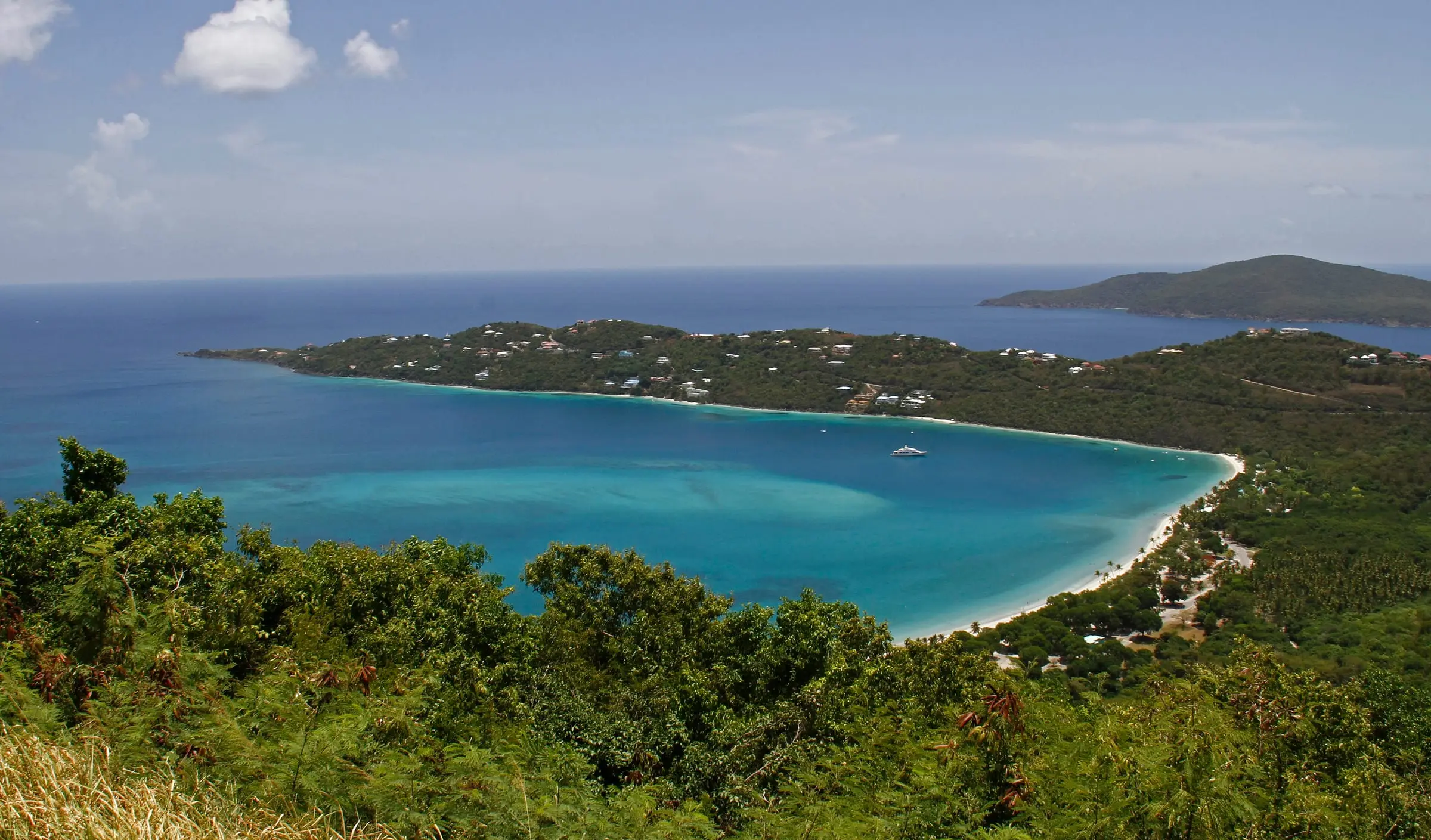
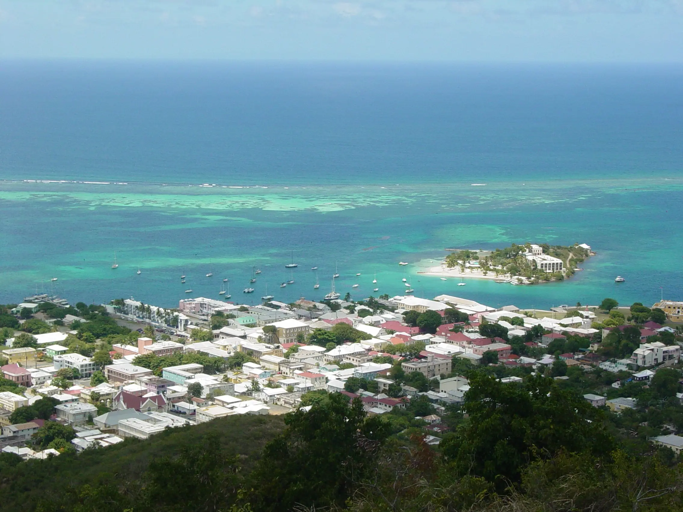
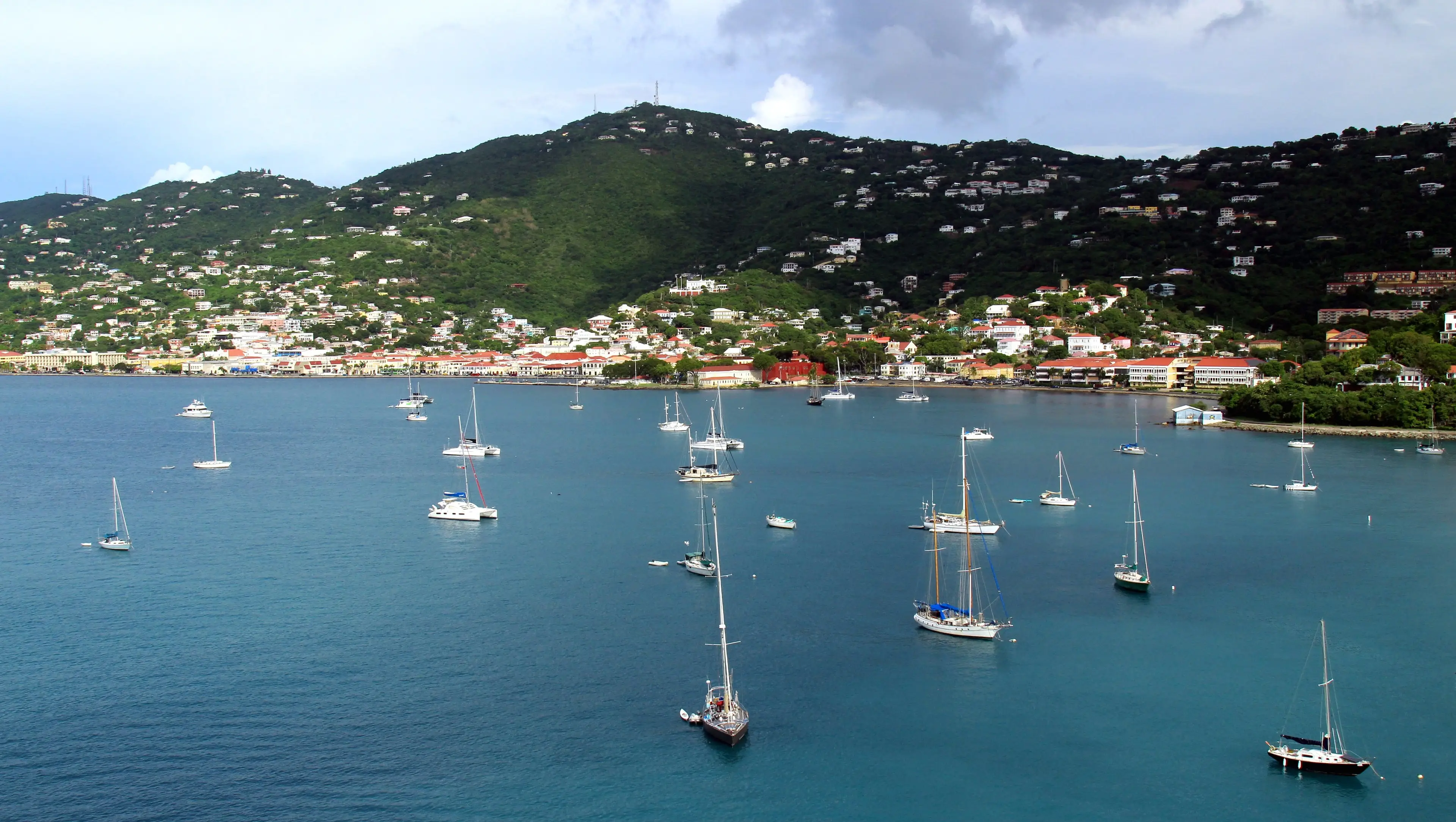
Photo: Jason P. Heym, CC BY-SA 3.0
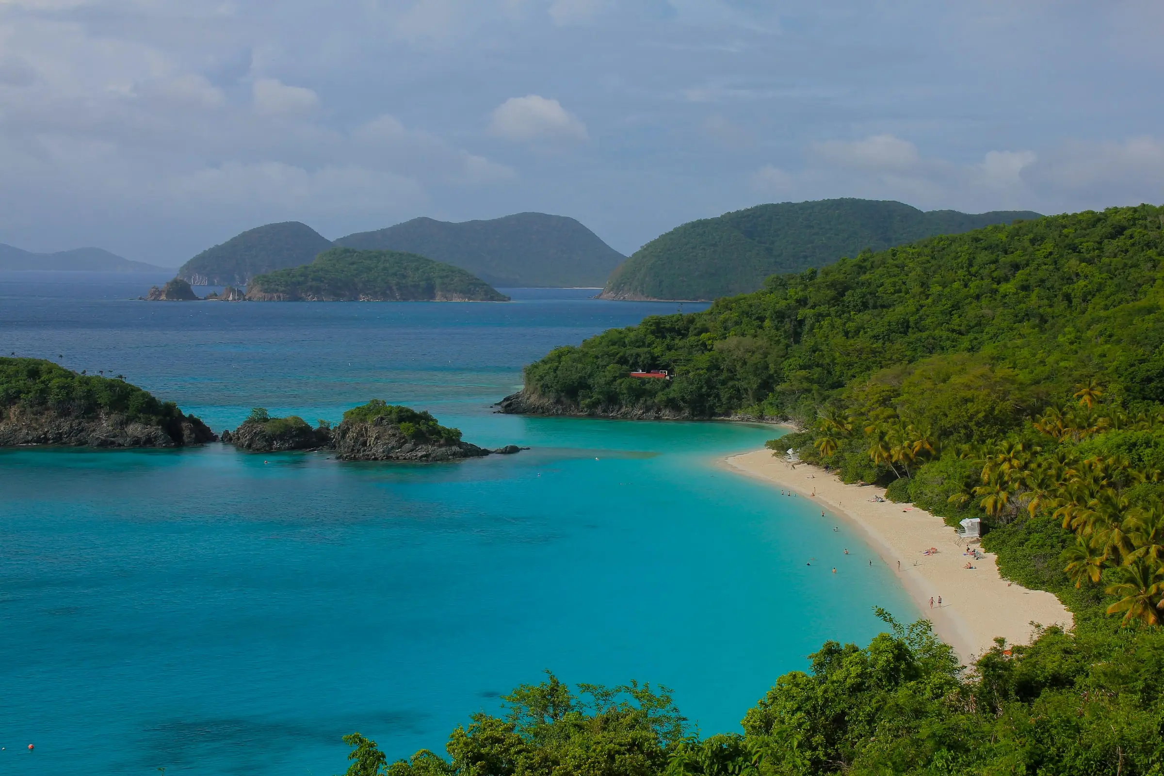
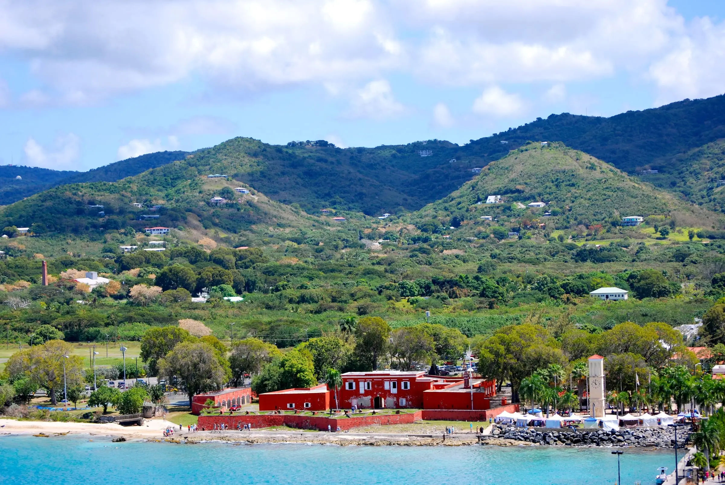
Photo: Navin75, CC BY-SA 2.0
Questions
Can you live on St. John and work on St. Thomas?
Some people do. In the 2020 Census, 6.8 percent of St. John workers worked on another island of the territory, and 2.8 percent of St. John workers commuted by boat, ferry or water taxi. The Virgin Islands Port Authority lists passenger ferries from Cruz Bay to Red Hook from 6:00 a.m. to 11:00 p.m. Check current schedules before you plan a daily commute.
Which island has more rental housing?
St. Thomas, by a wide margin in absolute numbers. The 2020 Census counted 11,711 renter-occupied homes on St. Thomas and 952 on St. John. For what is available today, talk with licensed local professionals.
Does USVI Realty recommend one island over the other?
No. This comparison is educational. The right island depends on your work, budget, travel and how you want to live, and decisions about a specific property belong with licensed professionals.
Sources
- Table 1. Population of the United States Virgin Islands: 2010 and 2020, U.S. Census Bureau (accessed October 28, 2026)
- Table 3. Housing Unit Counts of the United States Virgin Islands: 2010 and 2020, U.S. Census Bureau (accessed October 28, 2026)
- 2020 Census Demographic Profile, St. John Island: Selected Housing Characteristics (DP4), U.S. Census Bureau (accessed October 28, 2026)
- 2020 Census Demographic Profile, St. Thomas Island: Selected Housing Characteristics (DP4), U.S. Census Bureau (accessed October 28, 2026)
- 2020 Census Demographic Profile, St. John Island: Selected Economic Characteristics (DP3), U.S. Census Bureau (accessed October 28, 2026)
- 2020 Census Demographic Profile, St. Thomas Island: Selected Economic Characteristics (DP3), U.S. Census Bureau (accessed October 28, 2026)
- TIGERweb: U.S. Virgin Islands county-equivalents (island land area), U.S. Census Bureau (accessed October 28, 2026)
- TIGER/Line Shapefiles 2025: U.S. Virgin Islands estates, U.S. Census Bureau (accessed October 28, 2026)
- TIGERweb: Estate Hassel Island (St. Thomas), U.S. Census Bureau (accessed October 28, 2026)
- Virgin Islands National Park, National Park Service (accessed October 28, 2026)
- Virgin Islands National Park: Basic Information, National Park Service (accessed October 28, 2026)
- Virgin Islands National Park: Frequently Asked Questions, National Park Service (accessed October 28, 2026)
- Virgin Islands National Park: Directions, National Park Service (accessed October 28, 2026)
- Virgin Islands National Park: Superintendent's Compendium (2026 update), National Park Service (accessed October 28, 2026)
- Ferry and Cargo Schedules, Virgin Islands Port Authority (accessed October 28, 2026)
- Water Quality Report 2025, St. Thomas and St. John, Virgin Islands Water and Power Authority (accessed October 28, 2026)