St. Thomas vs. St. Croix
The two largest U.S. Virgin Islands compared with official figures: population, land area, towns, airports and what each difference means for your property research.
MovingBy USVI Realty Editorial TeamUpdated October 28, 20266 minute read
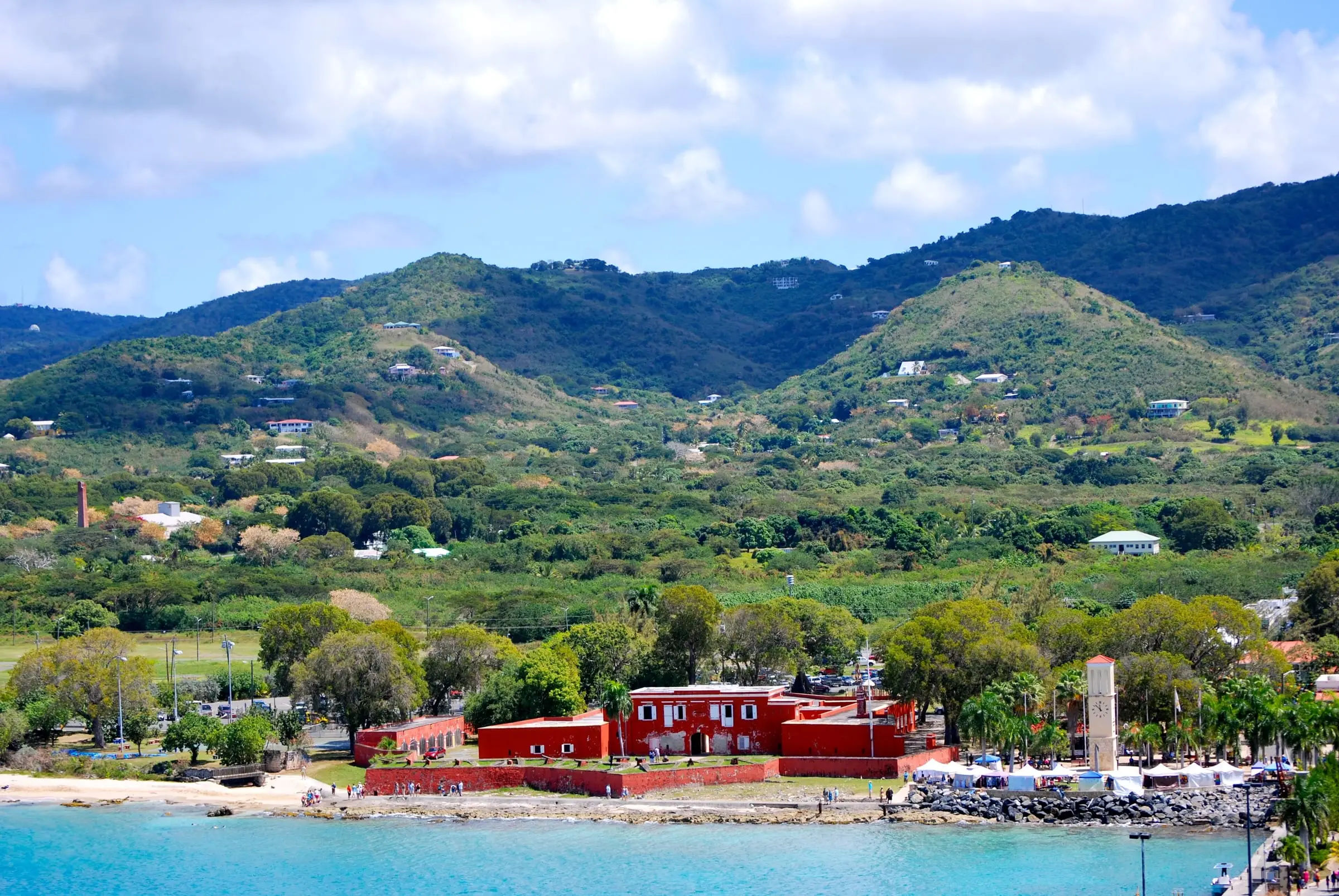
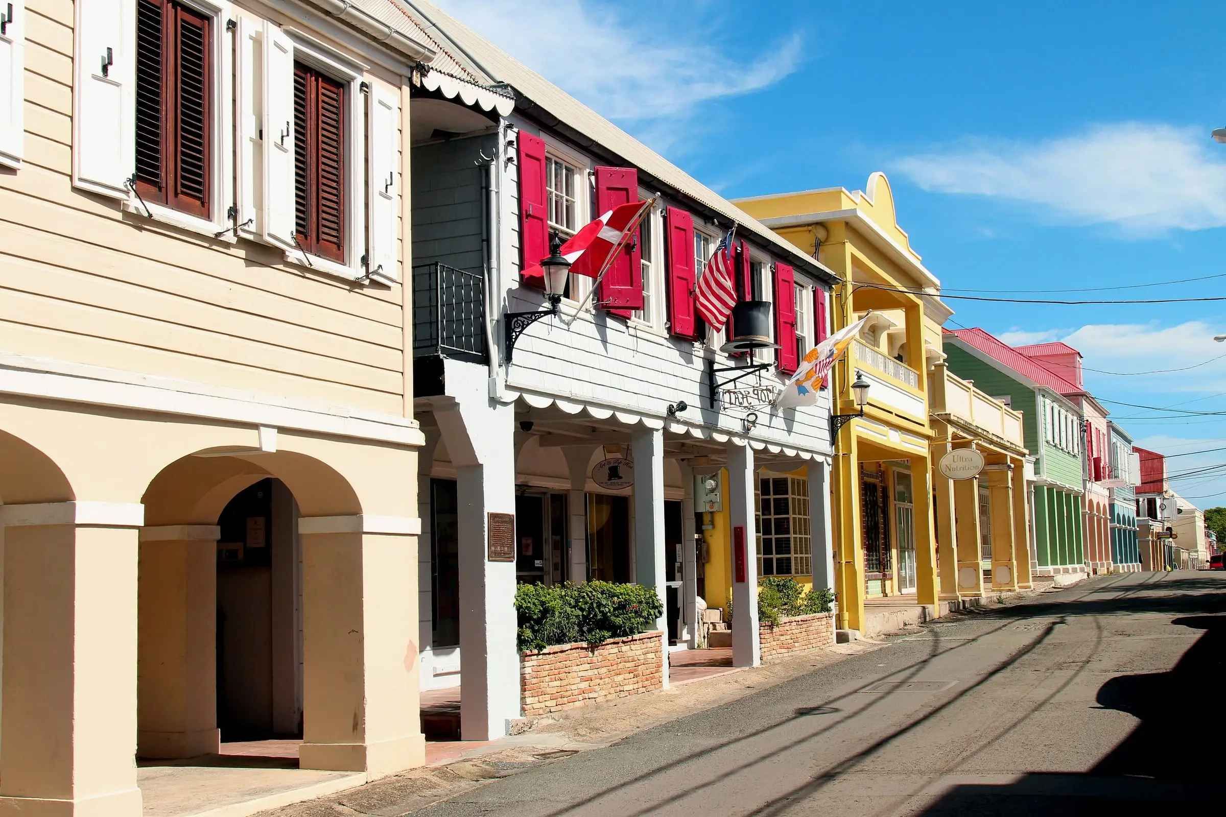
Photo: Matt H. Wade, CC BY-SA 3.0
St. Thomas and St. Croix are the two most populous of the U.S. Virgin Islands. They have almost the same number of residents, but they differ sharply in size, in how people are spread across the land and in how you get on and off island. This comparison sticks to published figures from the U.S. Census Bureau, the Virgin Islands Port Authority and other public sources listed at the end.
USVI Realty is an educational resource. We do not list property or represent buyers or sellers, and we do not rank one island above the other. The right choice depends on how you plan to live.
At a glance
Estimate as of October 2026. Population and housing figures are from the 2010 and 2020 Censuses. Land areas are rounded from the Census Bureau’s 2025 TIGER/Line files. Airports are as listed by the Virgin Islands Port Authority.
| St. Thomas | St. Croix | |
|---|---|---|
| Population, 2020 Census | 42,261 | 41,004 |
| Population, 2010 Census | 51,634 | 50,601 |
| Housing units, 2020 Census | 28,142 | 25,470 |
| Land area | About 31 sq mi | About 83 sq mi |
| Census subdistricts | 7 | 9 |
| Main towns | Charlotte Amalie | Christiansted, Frederiksted |
| Main airport | Cyril E. King Airport (STT) | Henry E. Rohlsen Airport (STX) |
Size and population
The headline difference is space. St. Croix has more than two and a half times the land of St. Thomas, about 83 square miles against about 31, yet the 2020 Census counted slightly fewer people there: 41,004 on St. Croix and 42,261 on St. Thomas. Together, the two islands were home to 83,265 of the territory’s 87,146 residents. St. John, the third main island, had 3,881.
Both islands lost residents over the last decade. Between the 2010 and 2020 Censuses, the population of St. Thomas fell 18.2 percent and the population of St. Croix fell 19.0 percent. Over the same period, the number of housing units rose 3.6 percent on St. Thomas and 0.8 percent on St. Croix.
Census counts describe people and buildings, not prices or demand. For current market conditions on either island, ask a licensed real estate professional for recent, documented sales data.
Towns and communities
St. Thomas
The Census Bureau divides St. Thomas into seven subdistricts: Charlotte Amalie, East End, Northside, Southside, Tutu, Water Island and West End.
- Charlotte Amalie is the island’s main town. The Charlotte Amalie subdistrict had 14,477 residents in 2020, the most on the island, and the town itself had 8,194.
- Tutu, a census designated place, had 5,519 residents.
- The East End subdistrict had 7,502 residents. Red Hook, which the National Park Service places on the East End, is where passenger ferries and car barges leave for St. John. The Red Hook census designated place had 225 residents.
- Water Island, its own subdistrict, had 164 residents.
Read more in our St. Thomas island guide.
St. Croix
St. Croix has nine Census subdistricts: Anna’s Hope Village, Christiansted, East End, Frederiksted, Northcentral, Northwest, Sion Farm, Southcentral and Southwest.
- Christiansted is the larger of the island’s two towns, with 1,770 residents in 2020. The National Park Service’s Christiansted National Historic Site includes Fort Christiansvaern, the Danish Customs House, the Scale House and the Steeple Building.
- Frederiksted had 528 residents in the town itself, and the neighboring Frederiksted Southeast census designated place had 1,746.
- Sion Farm is the island’s most populous subdistrict, with 10,332 residents, followed by Southcentral with 7,415 and Southwest with 5,842.
On St. Croix, far more people live outside the two towns than in them. If you picture yourself in town, look closely at what is available there. If you want space, the island has more of it.
Read more in our St. Croix island guide.
Estimate as of October 2026. Subdistrict, town and census designated place figures are 2020 Census counts. Towns and census designated places can span more than one subdistrict, so their figures do not add up to island totals.
Estates on both islands
On both islands, property is identified by estate names, which the Census Bureau says are in common use by residents and in government administration. Estate boundaries are primarily those of the former agricultural plantations that existed when Denmark transferred the islands to the United States in 1917. The Census also notes that its estate boundaries are for statistical purposes and are not legal land descriptions. Our guide to estates explains how to read them.
Getting there and getting around
Airports
- St. Thomas: the Port Authority says Cyril E. King Airport is about two miles west of Charlotte Amalie.
- St. Croix: the Port Authority says Henry E. Rohlsen Airport is approximately six miles southwest of Christiansted.
When you fly to the mainland from either island, you go through U.S. Customs and Border Protection (CBP) predeparture processing before you leave. CBP lists Cyril E. King Airport and Henry E. Rohlsen Airport among its predeparture locations.
St. John and travel between islands
St. John has no airport. The National Park Service directs visitors to fly into Cyril E. King Airport on St. Thomas and cross from Red Hook by passenger ferry or car barge. If you expect to spend a lot of time on St. John, that makes St. Thomas, and especially the East End, the more convenient base.
The Port Authority lists a seaplane terminal on each island: the Charles F. Blair Seaplane Terminal on St. Thomas and the Svend Ovesen Jr. Seaplane Terminal on St. Croix. Check what service is currently operating before you plan around it.
On the road
On both islands, you drive on the left side of the road, as the territory’s official tourism website points out. The same site notes that the islands keep Atlantic Standard Time and use the U.S. dollar. Test-drive the routes you would use most, at the times of day you would use them, before you commit to an area.
Hurricane season on both islands
Both islands share the Atlantic hurricane season, which runs from June 1 to November 30, according to NOAA’s National Hurricane Center. The center puts the peak of the season on September 10, with most activity between mid-August and mid-October.
That timing matters if you plan to close during the season. The Lieutenant Governor’s office reminds homeowners that you cannot buy a homeowners insurance policy once a storm has been declared, and FEMA says there is typically a 30-day waiting period before a new flood insurance policy takes effect. Line up coverage early. Our complete buying guide covers windstorm and flood insurance in more detail.
What it means for your property research
Many steps are the same on both islands, because the offices are territorial:
- Deeds. The Recorder of Deeds has an office in Christiansted on St. Croix and an office on St. Thomas that serves St. Thomas and St. John.
- Tax clearance. The Office of the Tax Collector takes tax clearance letter requests at its St. Thomas, St. John and Sunny Isle (St. Croix) offices.
- Water. A January 2024 guide from the Department of Planning and Natural Resources and the U.S. Environmental Protection Agency estimates that 90 percent of homes in the USVI have active cisterns, so plan on a cistern inspection wherever you buy.
- Flood risk. FEMA’s Flood Map Service Center is the official source for flood hazard maps on either island.
- Permits. The Department of Planning and Natural Resources’ Division of Permits issues building permits and inspects construction throughout the territory, so ask the same permit questions on either island.
Questions to answer for each property you consider:
- How far is it from the airport you will use most, and from Red Hook if you will visit St. John?
- Is it in a high-risk area on FEMA’s flood maps?
- How do you reach it by road, and what is that road like after heavy rain?
- How far is it from the shops, schools and services you will use each week?
- What does insurance cost for this specific home, including windstorm and flood coverage?
How to choose
Write down what matters most to you, such as quick access to St. John, a short drive to the airport, room for a garden or a walkable town, and test each island against that list. If you can, spend time on both islands before you decide, and talk with licensed real estate professionals on each one. Start with our island guides, then read Buying Property in the USVI: A Complete Guide for the step-by-step process. Our free Buyer’s Guide, on the Resources page, includes a property research checklist you can take on your visits.
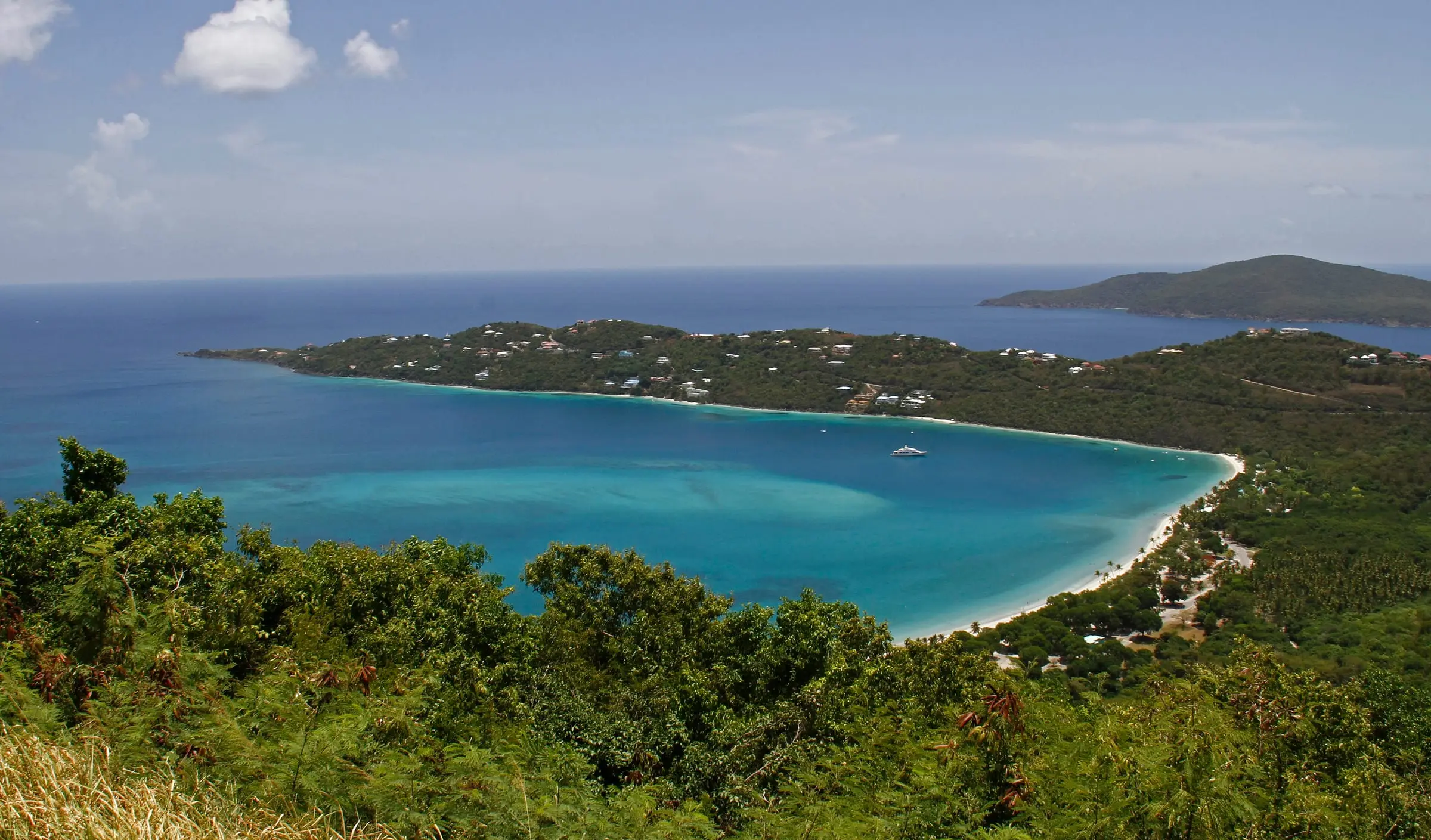
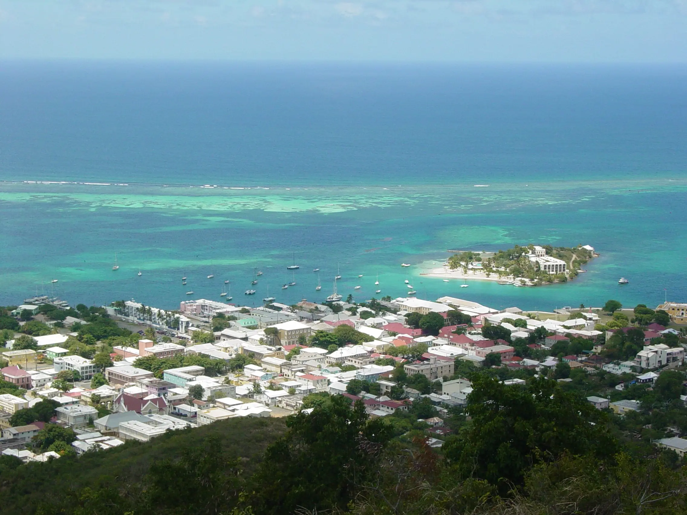
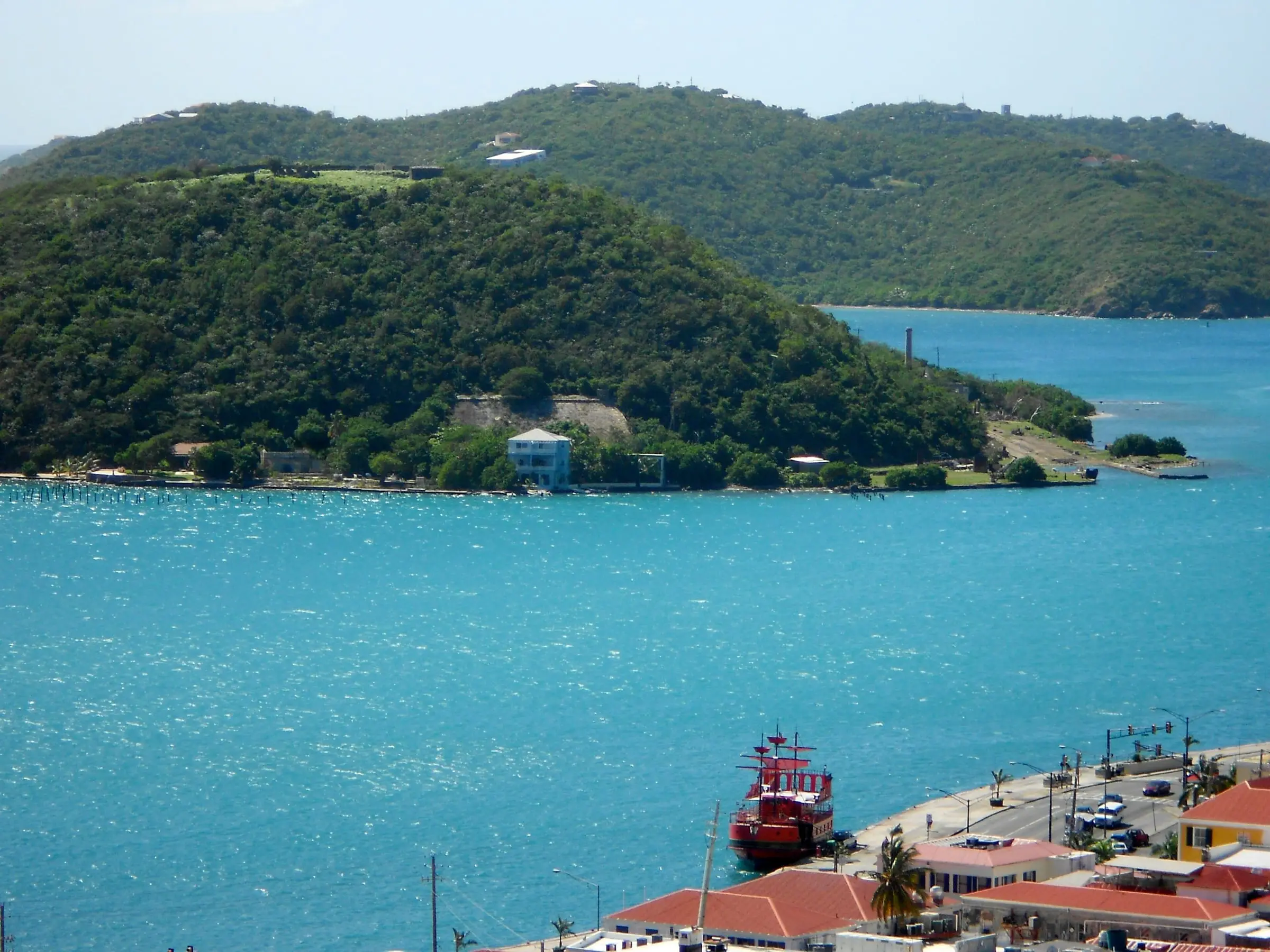
Photo: Jason P. Heym, CC BY-SA 3.0
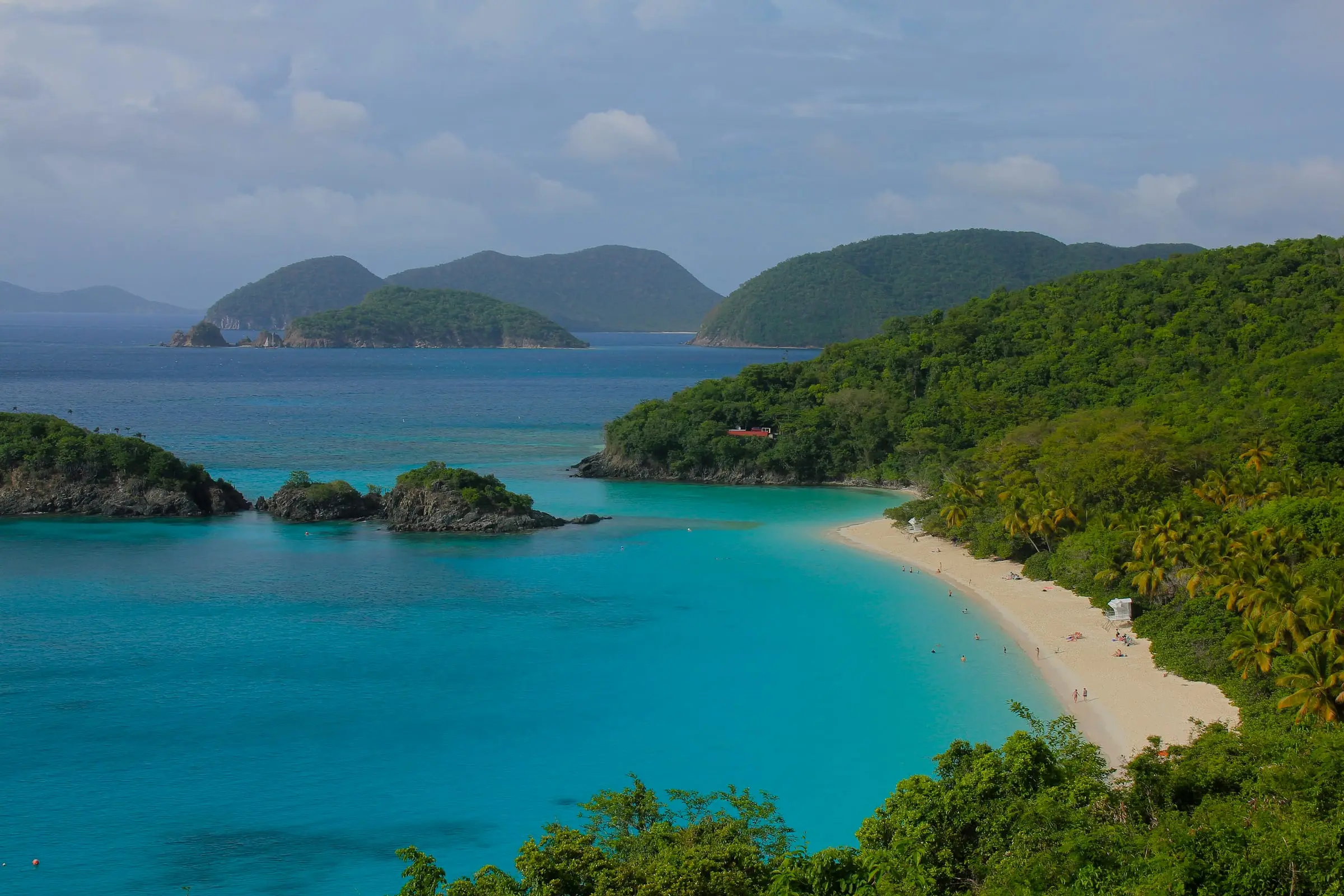
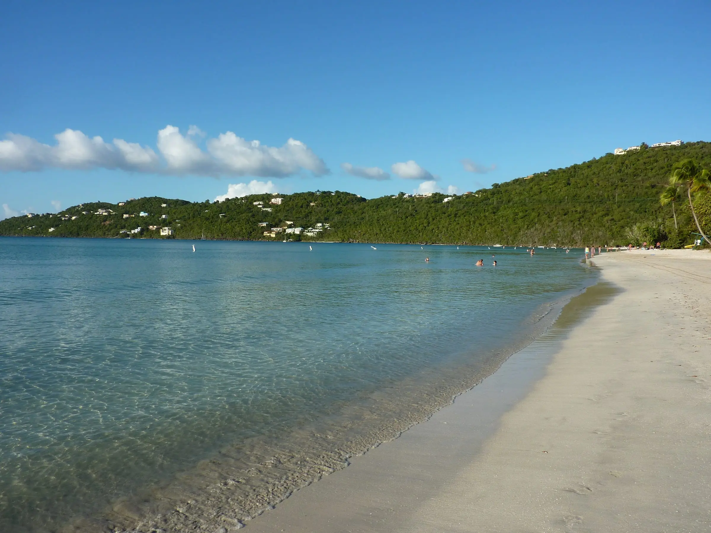
Photo: Navin75, CC BY-SA 2.0
Questions
Which is bigger, St. Thomas or St. Croix?
St. Croix. The Census Bureau's 2025 TIGER/Line data put its land area at about 83 square miles, compared with about 31 square miles for St. Thomas.
Which island has more people?
They are close. The 2020 Census counted 42,261 residents on St. Thomas and 41,004 on St. Croix.
How do you get to St. John from either island?
St. John has no airport. The National Park Service directs visitors to fly into Cyril E. King Airport on St. Thomas, then take a passenger ferry or car barge from Red Hook.
Does USVI Realty help people buy on either island?
No. USVI Realty is an educational resource. We do not list property or represent buyers, sellers, landlords or tenants. Our guides help you prepare questions for licensed professionals.
Sources
- 2020 Island Areas Censuses: U.S. Virgin Islands, U.S. Census Bureau (accessed October 28, 2026)
- Table 1. Population of the United States Virgin Islands: 2010 and 2020, U.S. Census Bureau (accessed October 28, 2026)
- Table 3. Housing Unit Counts of the United States Virgin Islands: 2010 and 2020, U.S. Census Bureau (accessed October 28, 2026)
- TIGER/Line Shapefiles 2025, U.S. Virgin Islands estates (land area), U.S. Census Bureau (accessed October 28, 2026). Land area cross-checked against the TIGERweb county-equivalent land area for each island.
- TIGERweb: land area of St. Thomas, St. John and St. Croix islands, U.S. Census Bureau (accessed October 28, 2026)
- TIGER/Line Shapefiles: Estate series information (metadata), U.S. Census Bureau (accessed October 28, 2026)
- Virgin Islands Port Authority: airports and marine facilities, Virgin Islands Port Authority (accessed October 28, 2026)
- Cyril E. King Airport, Virgin Islands Port Authority (accessed October 28, 2026)
- Henry E. Rohlsen Airport, Virgin Islands Port Authority (accessed October 28, 2026)
- Virgin Islands National Park: Directions, National Park Service (accessed October 28, 2026)
- Christiansted National Historic Site, National Park Service (accessed October 28, 2026)
- CBP launches MPC at 3 predeparture airport locations in the U.S. Virgin Islands, U.S. Customs and Border Protection (accessed October 28, 2026)
- USVI Travel Tips and FAQs, U.S. Virgin Islands official tourism website (visitusvi.com) (accessed October 28, 2026)
- Recorder of Deeds, Office of the Lieutenant Governor, U.S. Virgin Islands (accessed October 28, 2026)
- Office of the Tax Collector, Office of the Lieutenant Governor, U.S. Virgin Islands (accessed October 28, 2026)
- Your Health and Cisterns: A USVI Comprehensive Guide (January 2024), Virgin Islands Department of Planning and Natural Resources and U.S. Environmental Protection Agency (accessed October 28, 2026)
- Flood Maps, Federal Emergency Management Agency (accessed October 28, 2026)
- Flood Insurance, Federal Emergency Management Agency (accessed October 28, 2026)
- Tropical Cyclone Climatology, NOAA National Hurricane Center (accessed October 28, 2026)
- Lieutenant Governor Roach encourages residents to Be Ready/Be Insured for the 2026 hurricane season, Office of the Lieutenant Governor, U.S. Virgin Islands (accessed October 28, 2026)
- Division of Permits: What We Do, Virgin Islands Department of Planning and Natural Resources (accessed October 28, 2026)