Skip to content

Island guides

One territory, three islands that differ in size, pace and access. Start with the one you are considering.

On the ground

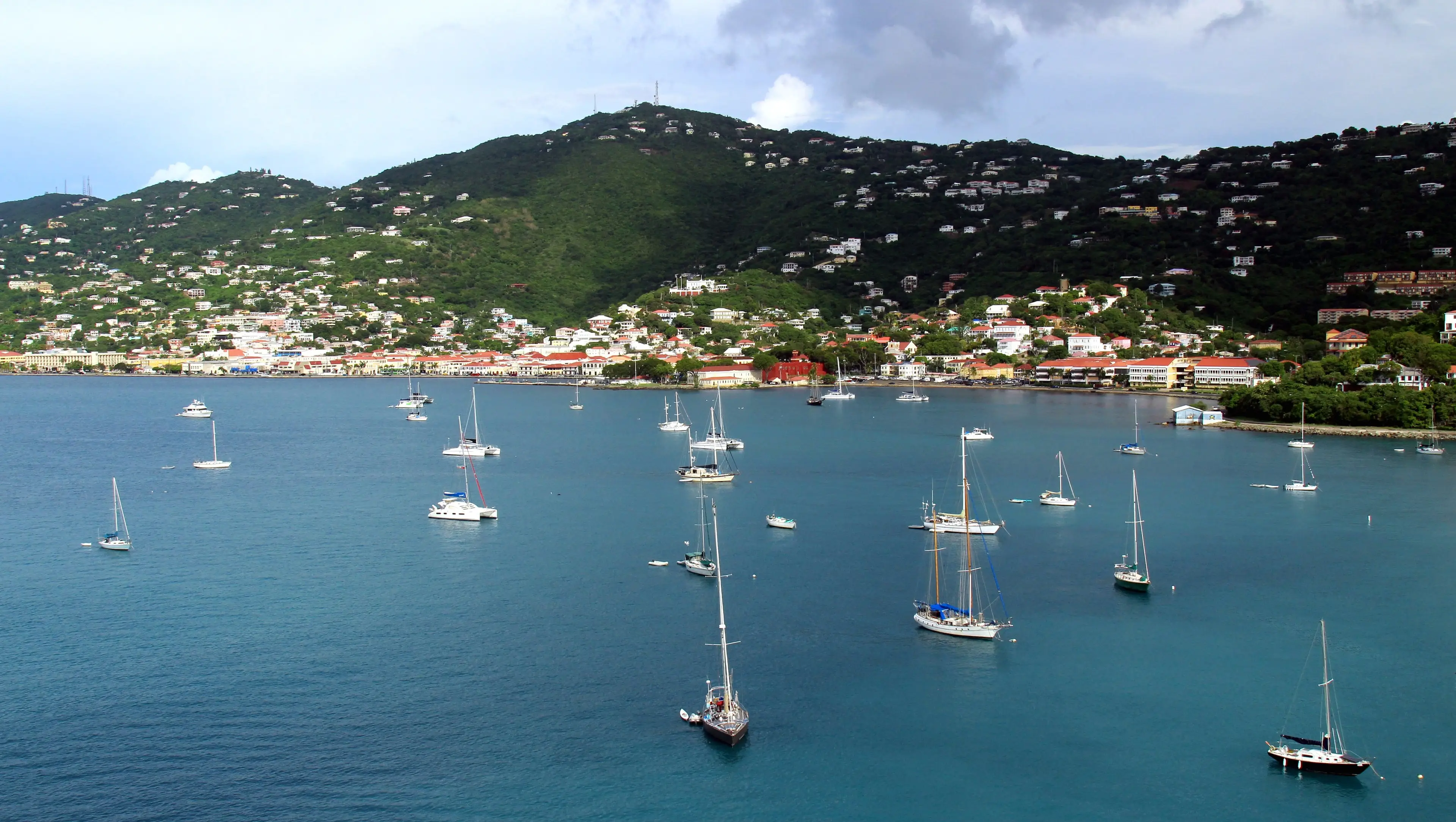
Sailboats anchored in Long Bay below the hillside homes of Charlotte Amalie
Long Bay, Charlotte AmalieLong Bay, Charlotte Amalie, St. Thomas

Photo: Prayitno, CC BY 2.0

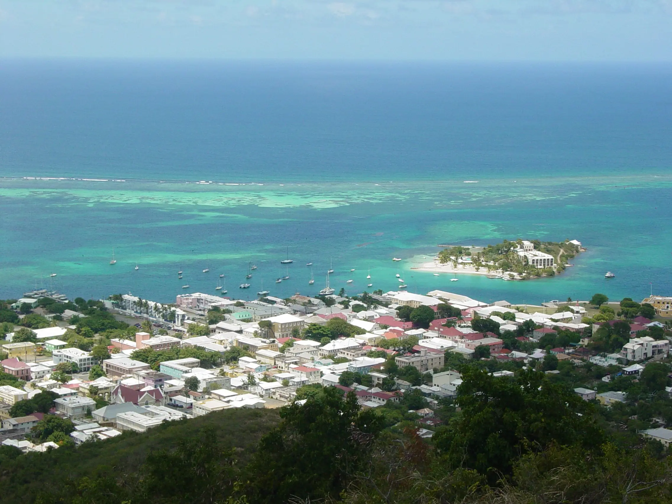
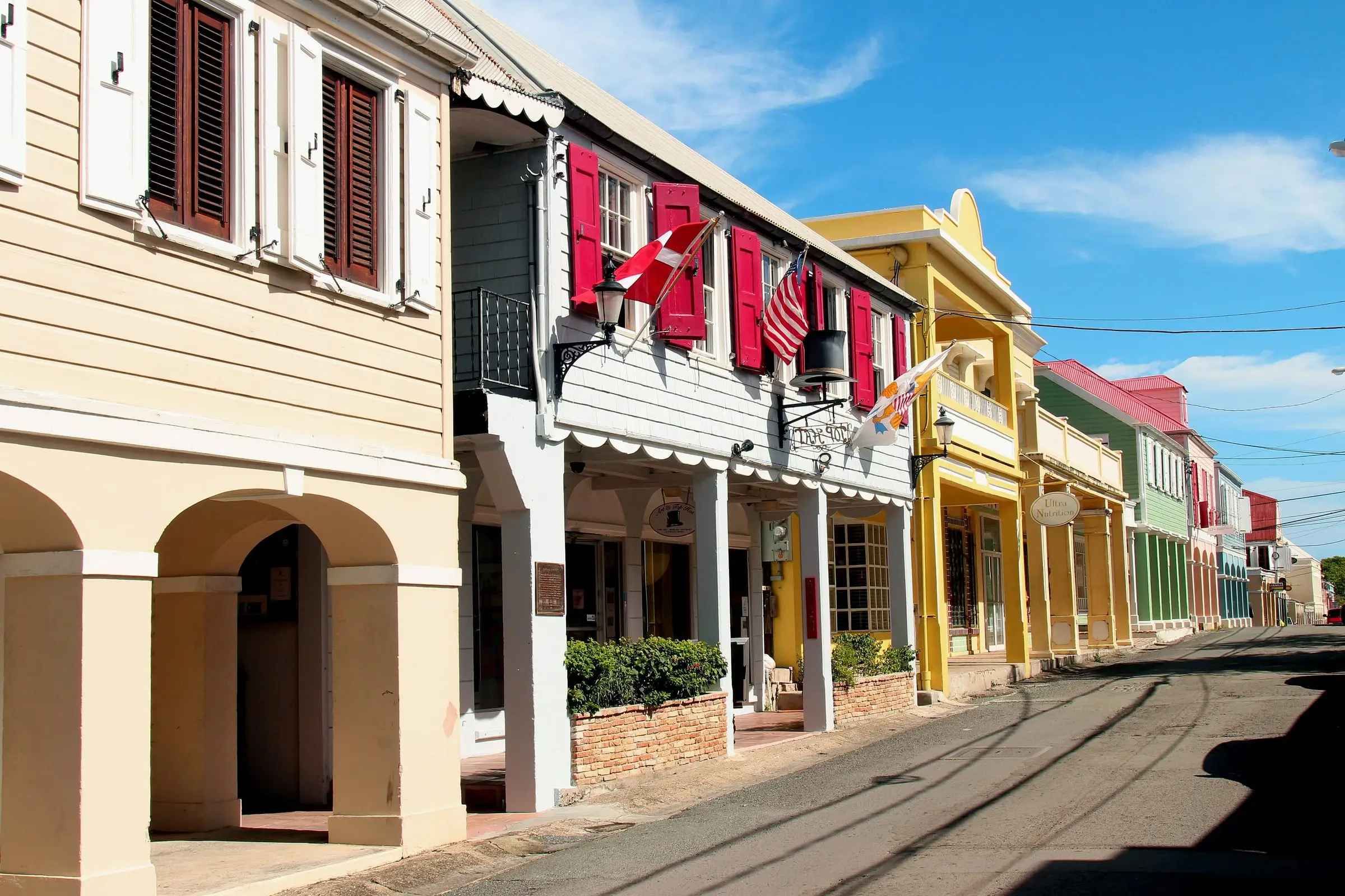
Arched sidewalk galleries along a street of colorful historic buildings in Christiansted
Arcaded street in ChristianstedChristiansted, St. Croix

Photo: Prayitno, CC BY 2.0

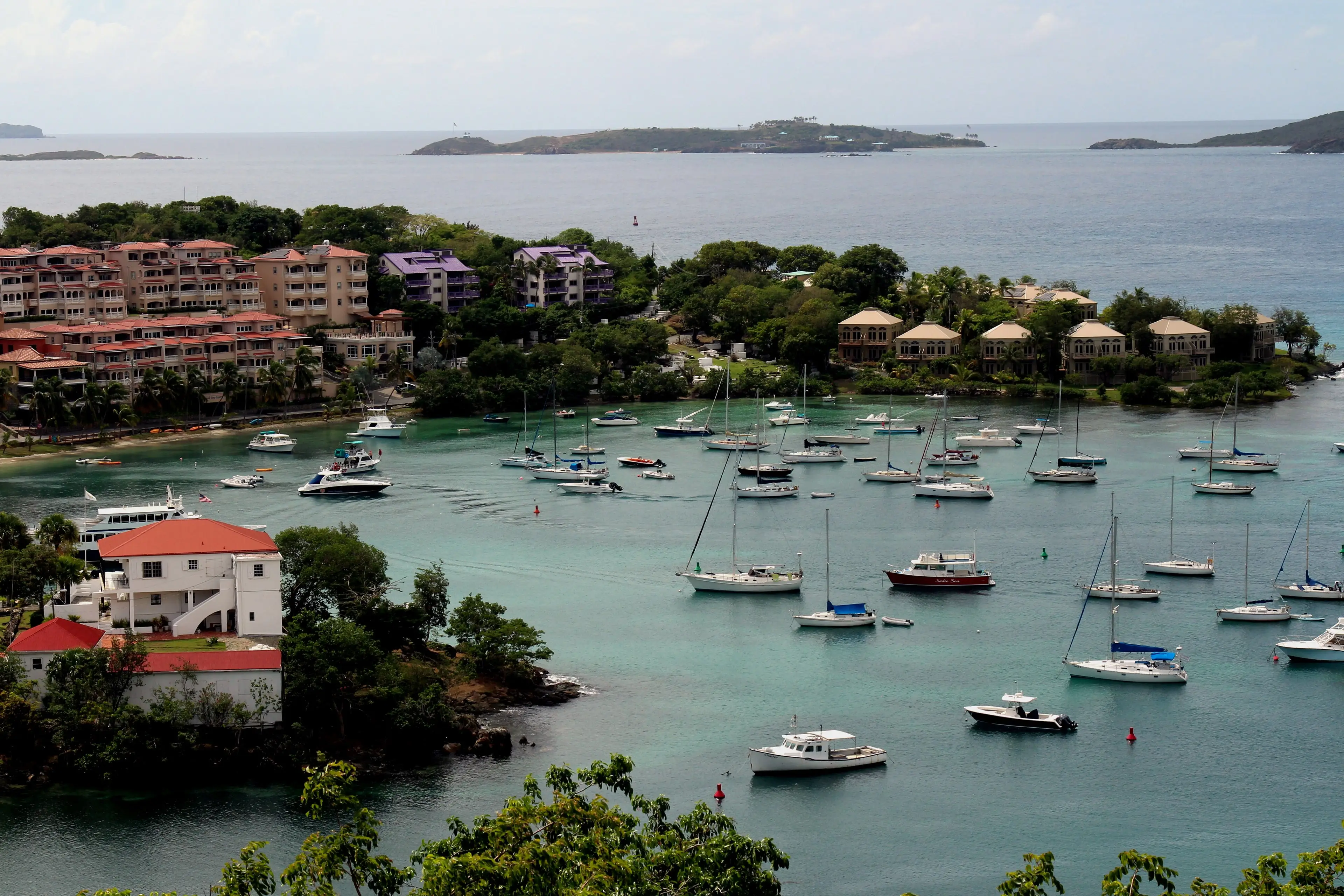
Sailboats moored in Cruz Bay below red-roofed buildings on the hillside of St. John
Cruz Bay harborCruz Bay, St. John

Photo: Prayitno, CC BY 2.0

Side by side

The islands at their true positions, with the figures from the Census Bureau.

Map data: U.S. Census Bureau, TIGER/Line 2025
The three islands compared
St. ThomasSt. CroixSt. John
Residents, 202042,26141,0043,881
Land area31 sq mi83 sq mi19.7 sq mi
Estates11323172
Main townsCharlotte AmalieChristiansted, FrederikstedCoral Bay, Cruz Bay
Most populous estateAnnas Retreat (5,551)The Whim East (2,499)Enighed (774)

Figures summed from the estate tables: U.S. Census Bureau, 2020 Island Areas Censuses: U.S. Virgin Islands, Table 2 (population by estate); land area from U.S. Census Bureau, TIGER/Line Shapefiles 2025, U.S. Virgin Islands estates.

416estates

Property descriptions in the islands often name the estate. Find any of them on the map, with its 2020 population and land area.