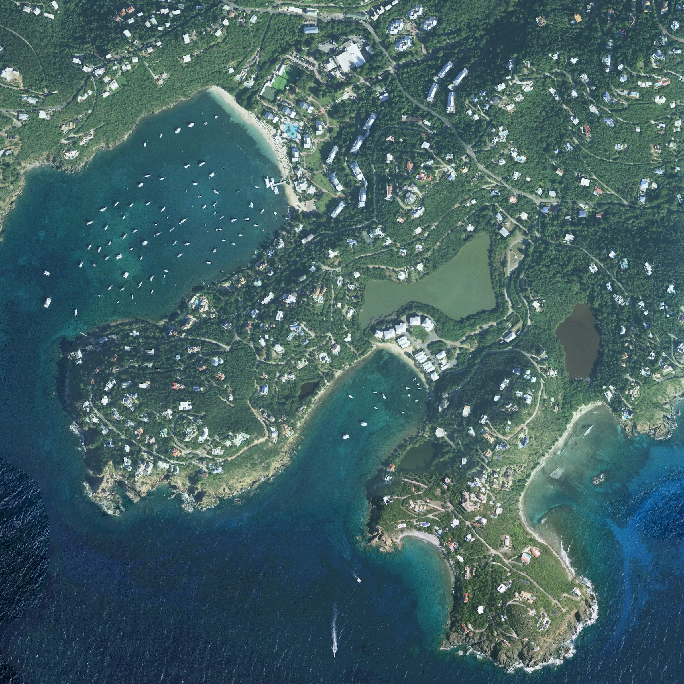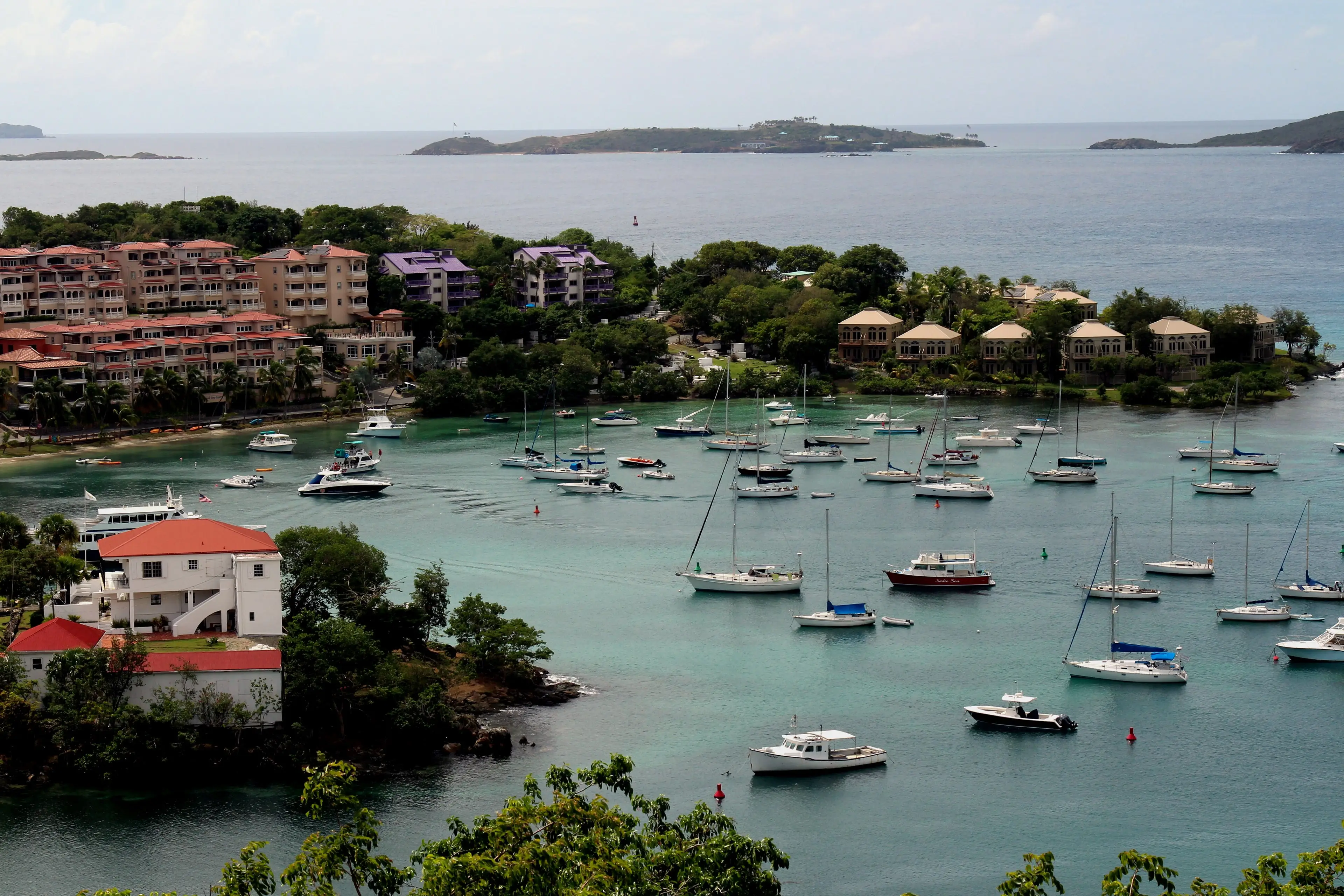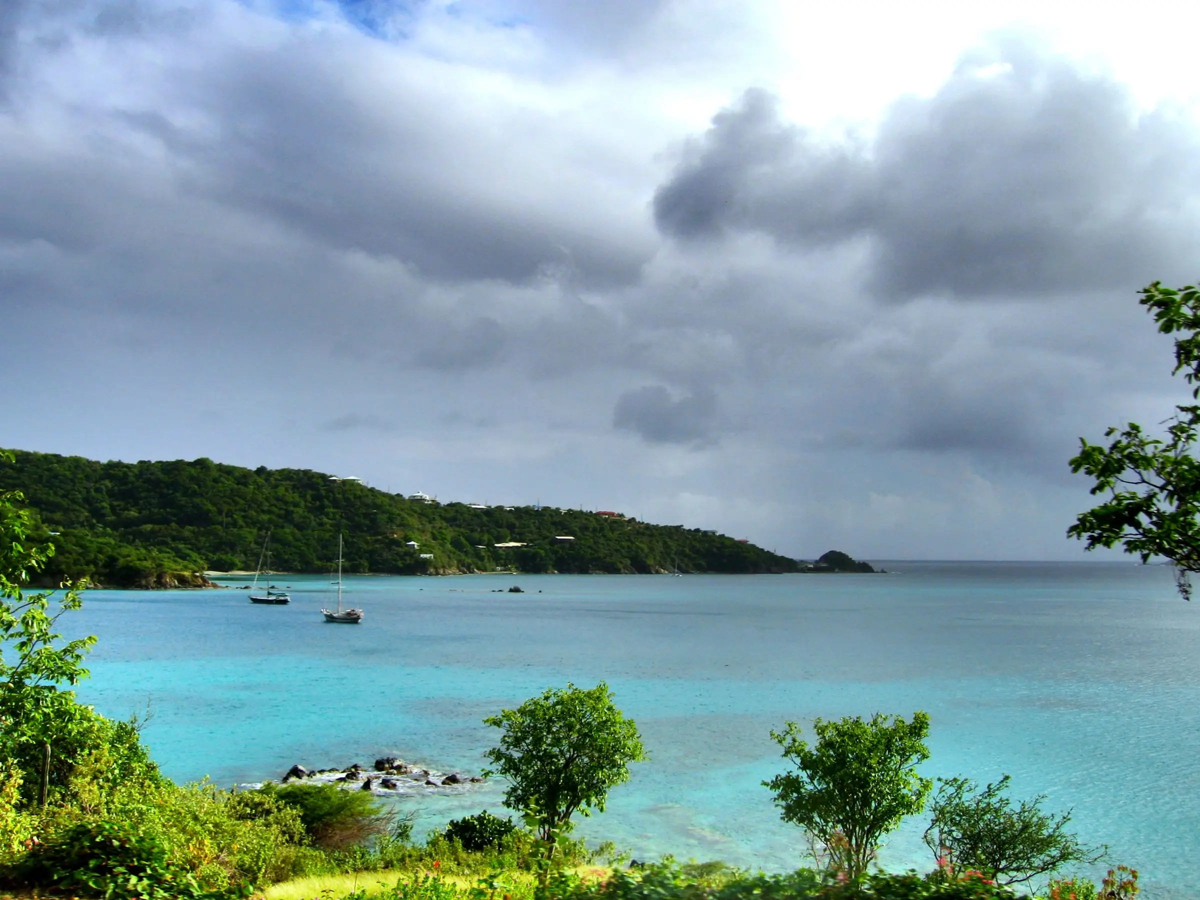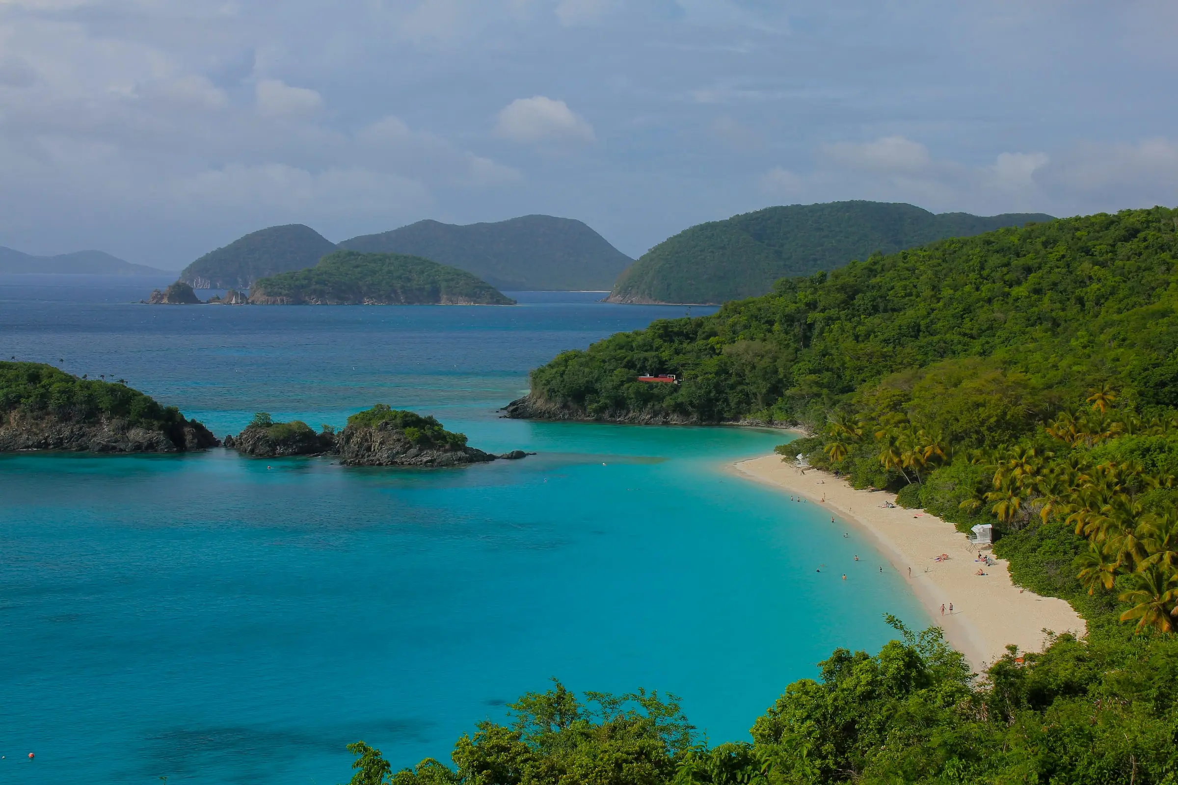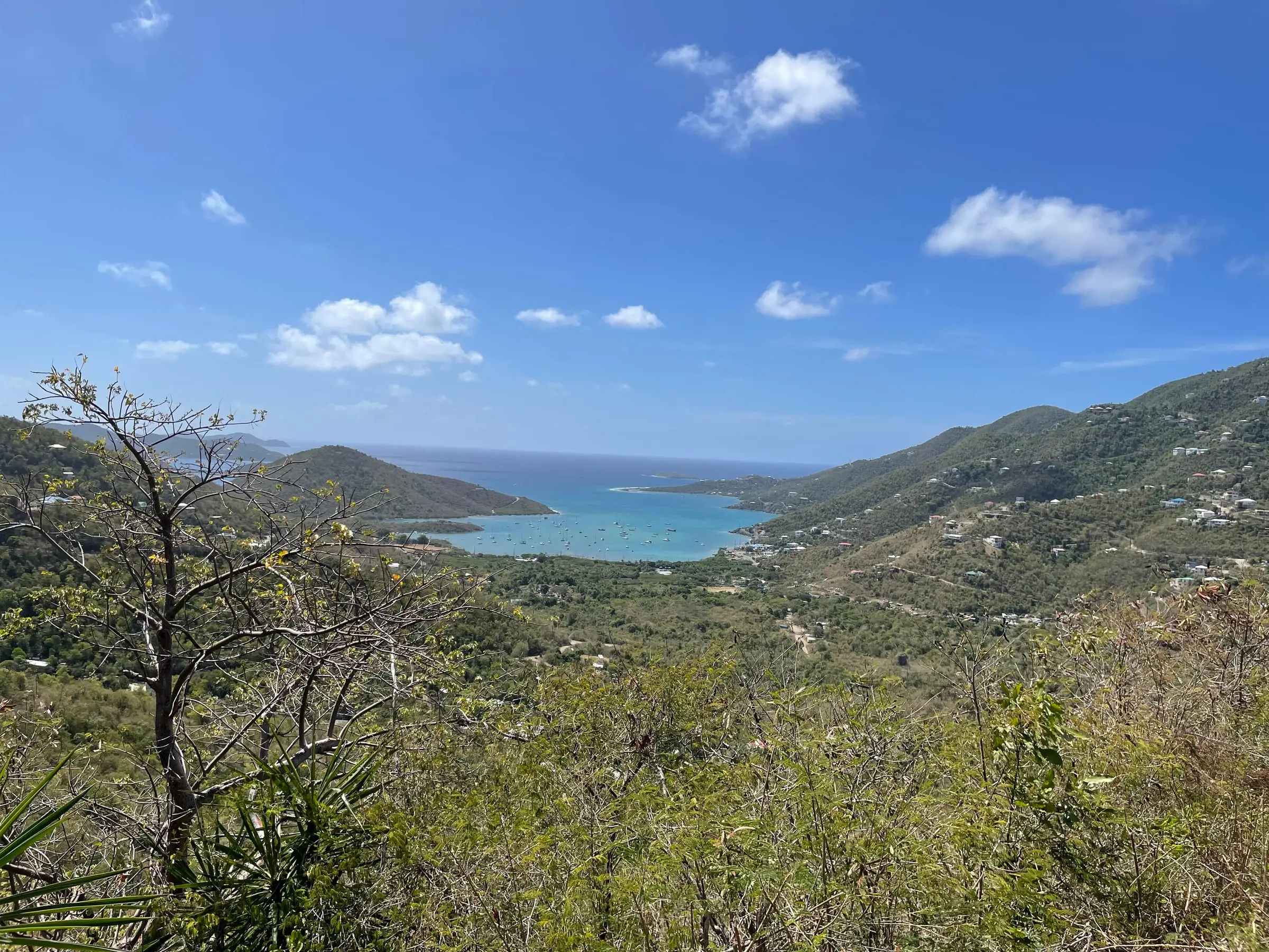
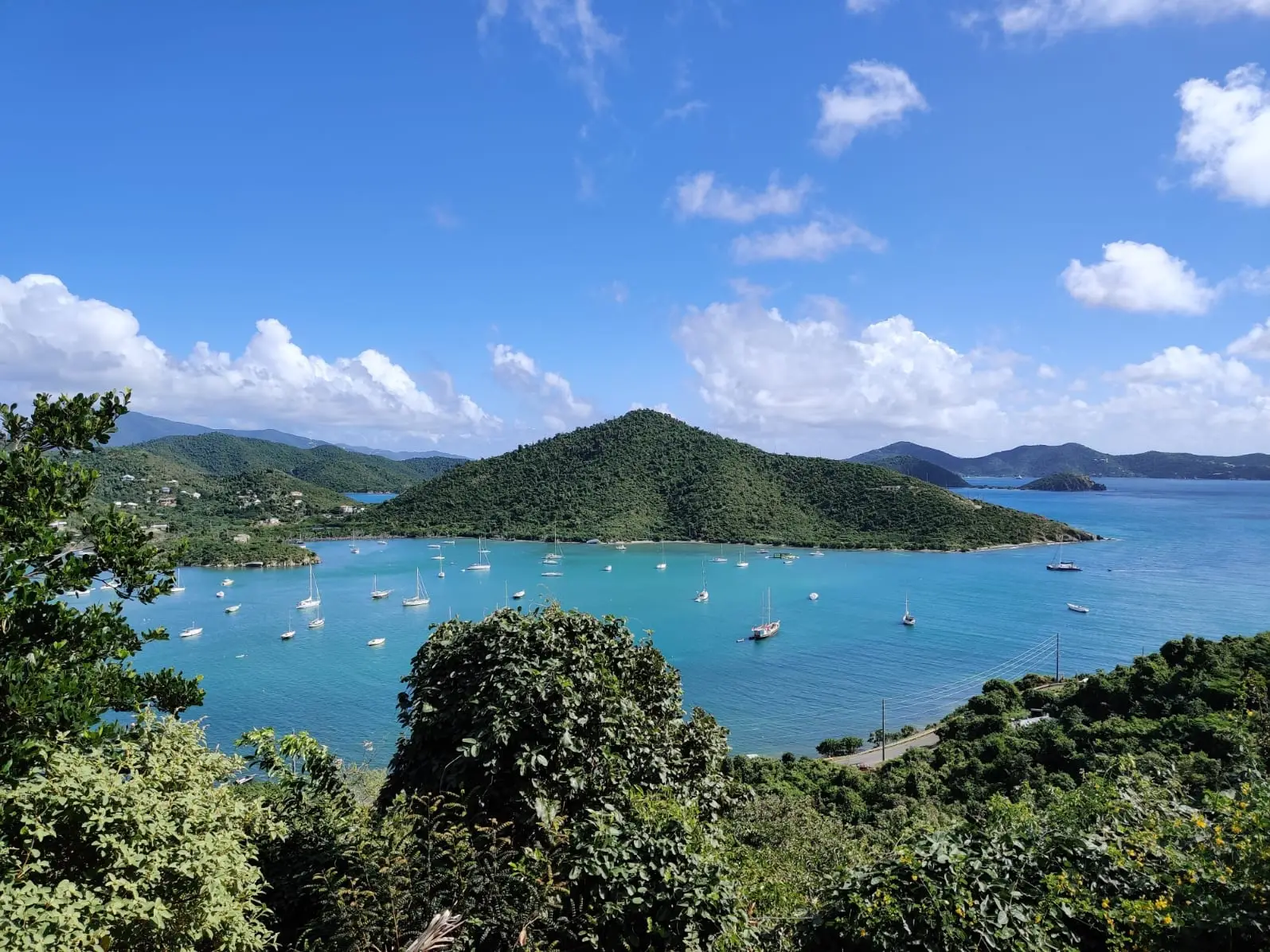
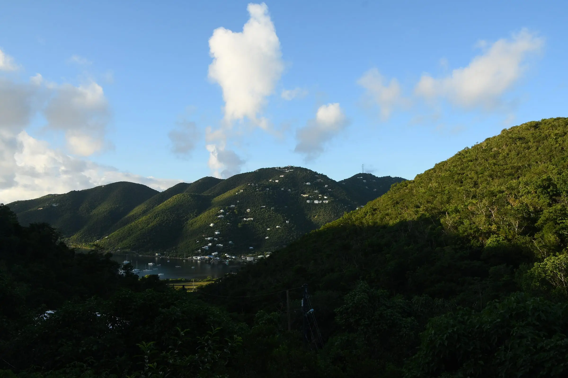
Where Coral Bay is
Coral Bay is on the east side of St. John, across the island from Cruz Bay and its ferry docks. Measured in a straight line between the Census internal points of the two communities, they are about 4.3 miles apart, so the trip by road is longer.
Census boundary data put the Coral Bay subdistrict at about 2.8 square miles and the smaller Coral Bay census designated place (CDP) at about 1.8 square miles. Farther east is the East End subdistrict, the least populated part of the island, with 35 residents in 2020. For the island as a whole, see our St. John island guide.
A long history
The National Park Service dates St. John’s 1733 insurrection to the early morning of November 23, 1733, when enslaved men and women seized the Danish West India Company’s fort in Coral Bay. The fighting that followed lasted six months, according to the Park Service.
The land is still described in terms from that era. The Census Bureau explains that USVI estate boundaries are primarily those of the former plantations that existed when Denmark transferred the islands to the United States in 1917.
Coral Bay by the numbers
The Census Bureau reports figures for both the subdistrict and the CDP:
- Subdistrict: 724 residents in 2020, up 14.2 percent from 634 in 2010. It was the only St. John subdistrict to grow. Housing units rose 22.4 percent, from 545 to 667. The subdistrict held about 19 percent of the island’s residents.
- CDP: 615 residents in 2020, up 1.7 percent from 605. Housing units dipped 0.9 percent, from 563 to 558.
The two areas have different boundaries, so check which one a figure describes.
Estates in and around Coral Bay
Census boundary data place these estates in or around the Coral Bay subdistrict, shown with their 2020 population:
- Carolina: 340, the second most populous estate on St. John
- Calabash Boom: 195
- Emmaus: 51
- St. Quaco and Zimmerman: 33
- Johns Folly: 27
- Eden: 21
- Freemans Ground: 16
- Hard Labor: 12
- Little Plantation: 12
- Ben Runnells Gut: 11
- Saunders Gut: 8
- Friise: 1
- Buck Island: 0
Some close neighbors belong to other subdistricts. Ushers Quay, Bordeaux, Fortsberg and Zootenval all have internal points within about a mile of the Coral Bay CDP’s, yet Census data place them in the Central subdistrict. Estate boundaries in Census data are for statistics only and are not legal land descriptions, so rely on the deed and the official land records. Explore boundaries on our estate map.
Homes and housing
Coral Bay is mostly houses, and mostly owner-occupied. In the 2020 Census, for the subdistrict:
- 74.1 percent of housing units were detached single-family homes, against 51.9 percent across St. John.
- Owners occupied 68.4 percent of occupied homes. In the Cruz Bay subdistrict, renters held the majority, at 59.6 percent.
- 36.3 percent of all housing units were vacant and held for seasonal, recreational or occasional use, compared with 25.1 percent island-wide.
- More homes were built in 2000 to 2009 (234 of 667) than in any other decade.
- 2.5 percent of housing units were a boat, RV, van or similar.
Estimate as of October 2026. The 2020 Census put the median value of owner-occupied homes in the Coral Bay subdistrict at $474,194 and the median gross rent at $1,272 a month. These are 2020 figures, not current prices or asking rents.
Water and wastewater
Almost every home here manages its own water. In the 2020 Census, 90.6 percent of housing units in the subdistrict reported a cistern, catchment, tanks or drums as a water source, 18.6 percent a delivery vendor or water truck and 8.7 percent the public system. A home can report more than one source.
Wastewater is mostly handled on site: 85.3 percent reported a septic tank or cesspool and 8.8 percent a public sewer.
A territorial guide hosted by the Department of Planning and Natural Resources (DPNR) says a cistern should hold about three months of drinking water, and that routine water testing is the owner’s cost. It also advises keeping a separate emergency supply of about 1 gallon per person per day, ideally for two weeks.
On the water
The Virgin Islands Coral Reef National Monument includes federal submerged lands within the 3-mile belt off St. John. Its storm refuge system uses a large submerged chain designed for berthing vessels up to 60 feet long. Under the park’s compendium, anchoring in the monument is prohibited unless you hold a Hurricane Hole storm berth permit. If a boat is part of your plans, read the current rules before you buy.
Questions to ask in Coral Bay
- How large is the cistern, when was it last cleaned, and who delivers water in dry spells?
- How old is the septic system, and when was it last inspected?
- What backup power does the home have?
- Who maintains the road to the property?
- How did the home come through the 2017 hurricanes? The National Hurricane Center reported widespread catastrophic damage on St. Thomas and St. John after Irma.
- For anything on the water, is the lot in the coastal zone (Tier 1)? DPNR’s website has a map to check.
A home inspector can check the cistern, septic system and roof. For the west side of the island, read the Cruz Bay area guide, and for daily life, see Living in St. John.