Skip to content

East End, St. John

On St. John

The eastern tip of St. John, past Coral Bay. Its Census subdistrict is the least populated on the island, and in 2020 most of its homes were held for seasonal or occasional use.

Population, East End subdistrict (2020 Census) source
35
Population change, 2010 to 2020 source
Down 31.4 percent
Housing units, East End subdistrict (2020 Census) source
53
Land area, East End subdistrict source
About 0.92 square miles
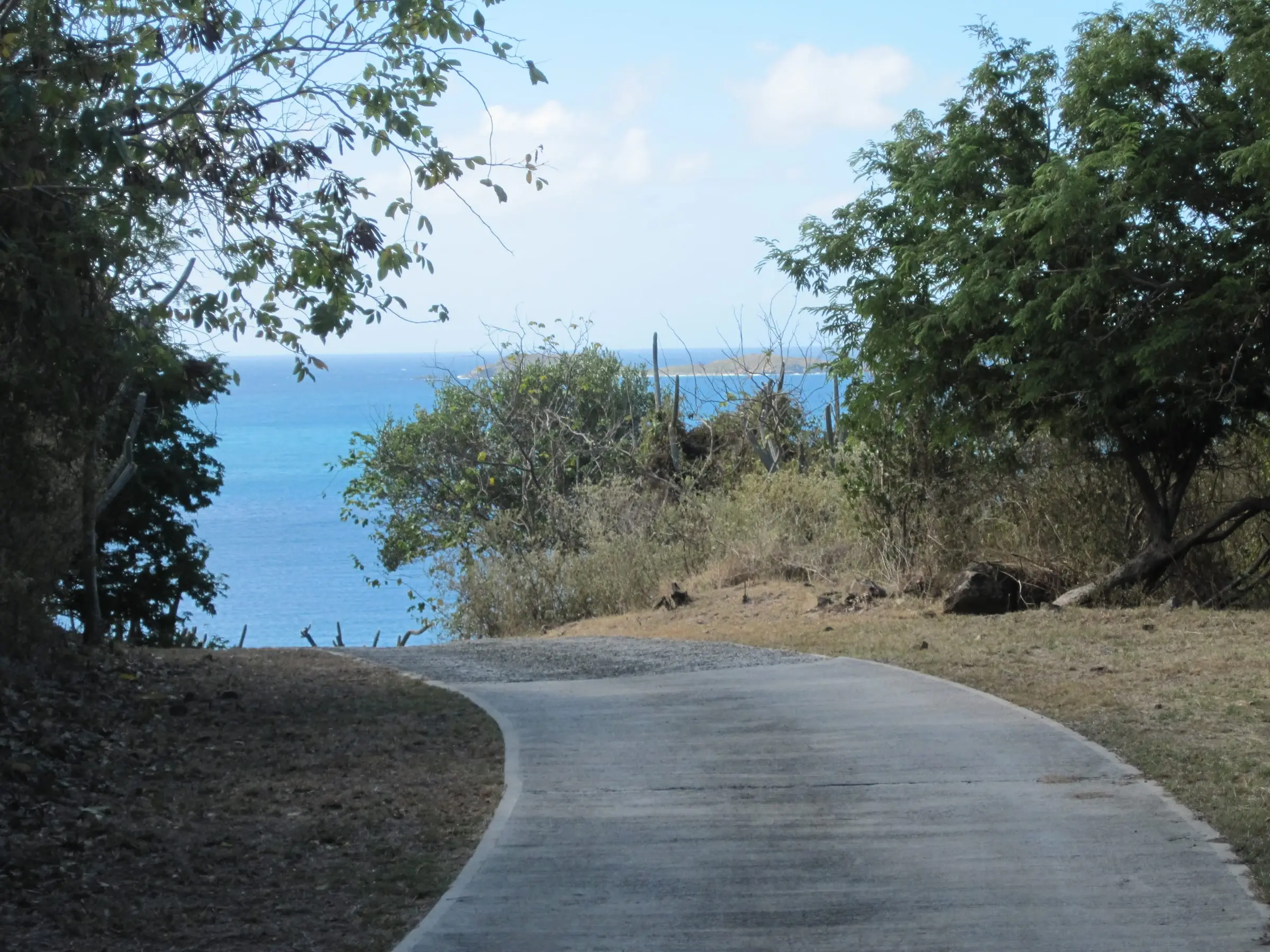
Round Bay, East End, St. John
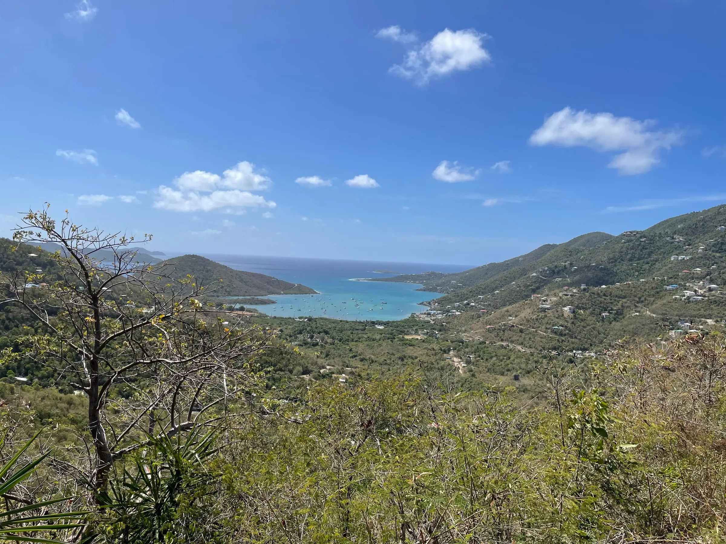
East End, St. John

Where is the East End of St. John?

The East End is the eastern tip of St. John, beyond Coral Bay. The Census Bureau draws an East End subdistrict there with about 0.92 square miles of land, about a third the size of the Coral Bay or Cruz Bay subdistricts.

Measured in a straight line between Census internal points, the subdistrict is about 3.2 miles from the Coral Bay census designated place (CDP) and about 8.3 miles from Estate Cruz Bay Town. Passenger ferries berth at the Port Authority’s Creek facility in Cruz Bay. For the nearest town, see our Coral Bay area guide, and for the whole island, our St. John island guide.

Two Census estates have internal points inside the subdistrict: Hansen Bay, with 30 residents and 43 housing units in 2020, and Flannigan Island, with none. Their 30 residents fall short of the subdistrict’s 35 because estate and subdistrict lines do not match: Estate Haulover’s internal point is in the Central subdistrict, yet a point on the road above Round Bay inside the same estate falls in the East End subdistrict. The U.S. Geological Survey’s point for the place named East End lies in Estate Hansen Bay. Explore boundaries on our estate map.

Do not confuse it with the East End subdistricts of St. Thomas and St. Croix, which had 7,502 and 2,336 residents in 2020. For St. Thomas, see Red Hook and the East End.

How many people live on the East End?

Very few. The 2020 Census counted 35 residents in the subdistrict, down 31.4 percent from 51 in 2010, the fewest of St. John’s four subdistricts. Housing units fell 14.5 percent, from 62 to 53.

Most homes are not lived in year-round. Of the 53 housing units, 19 were occupied, and 32 (60.4 percent) were vacant and held for seasonal, recreational or occasional use, against 25.1 percent across St. John. Owners lived in 16 of the 19 occupied homes.

What are the homes like?

In the 2020 Census, for the subdistrict:

  • 48 of 53 housing units (90.6 percent) were detached single-family homes, against 51.9 percent island-wide.
  • 27 (50.9 percent) had two bedrooms.
  • Building dates are spread out. More homes were built in the 1980s (10) than in any other decade, and 6 were reported built in 1939 or earlier.
  • 2 of the 19 occupied homes had no vehicle available.

Estimate as of October 2026. The 2020 Census put the median value of owner-occupied homes in the East End subdistrict at $750,000, based on just 16 owner-occupied homes, against $591,160 across St. John. Only three homes were rented. These are 2020 figures, not current prices or asking rents.

For how prices compare across the islands, see USVI home prices.

Water, wastewater and internet

Nearly every home here manages its own water. In 2020, 98.1 percent of housing units reported a cistern, catchment, tanks or drums as a water source and 3.8 percent a delivery vendor or water truck. Just one home reported the public system. A home can report more than one source.

Wastewater is handled on site too: 88.7 percent reported a septic tank or cesspool and 9.4 percent other means. One home reported a public sewer.

Of the 19 occupied homes, 14 (73.7 percent) had a broadband internet subscription, compared with 80.6 percent island-wide.

How do you get there, and what is nearby?

Census road data show USVI Highway 10 running from Coral Bay into the subdistrict, and they name its eastern stretch East End Road. Local roads there include Privateer Road. The same data map three segments in the subdistrict as vehicular trails, which the Census Bureau defines as unpaved dirt trails where a four-wheel-drive vehicle is required.

For power, WAPA’s feeder listing for St. Thomas and St. John puts East End and Hansen Bay on feeder 7E, the same feeder it lists for Coral Bay and Estate Carolina.

St. John’s community health center, the Myrah Keating Smith Community Health Center, is in Estate Susannaberg, according to the Department of Tourism. It adds that patients who need extensive care are taken by medical boat to St. Thomas.

Our directory lists cistern and water services, solar and generators, contractors and trades, property managers and health care.

What to check before buying or renting

  • Road access. Who maintains the road to the property, and can an ordinary car reach it in wet weather?
  • Water. How large is the cistern, when was it last cleaned, and who pays for deliveries in a dry spell? In a lease, get the answer in writing.
  • Wastewater. How old is the septic system, and when was it last inspected?
  • Power and internet. What backup power does the home have, and which internet service reaches it?
  • The shoreline. DPNR’s Coastal Zone Management division reviews development in Tier 1, the coastal zone, and its website has a map to check a lot.
  • Storm history. FEMA’s major disaster declarations for Hurricanes Irma and Maria in September 2017 covered St. John. Ask what was damaged and how it was repaired.

A home inspector, a surveyor and a real estate attorney can help. See also hurricane and flood insurance and Living in St. John.
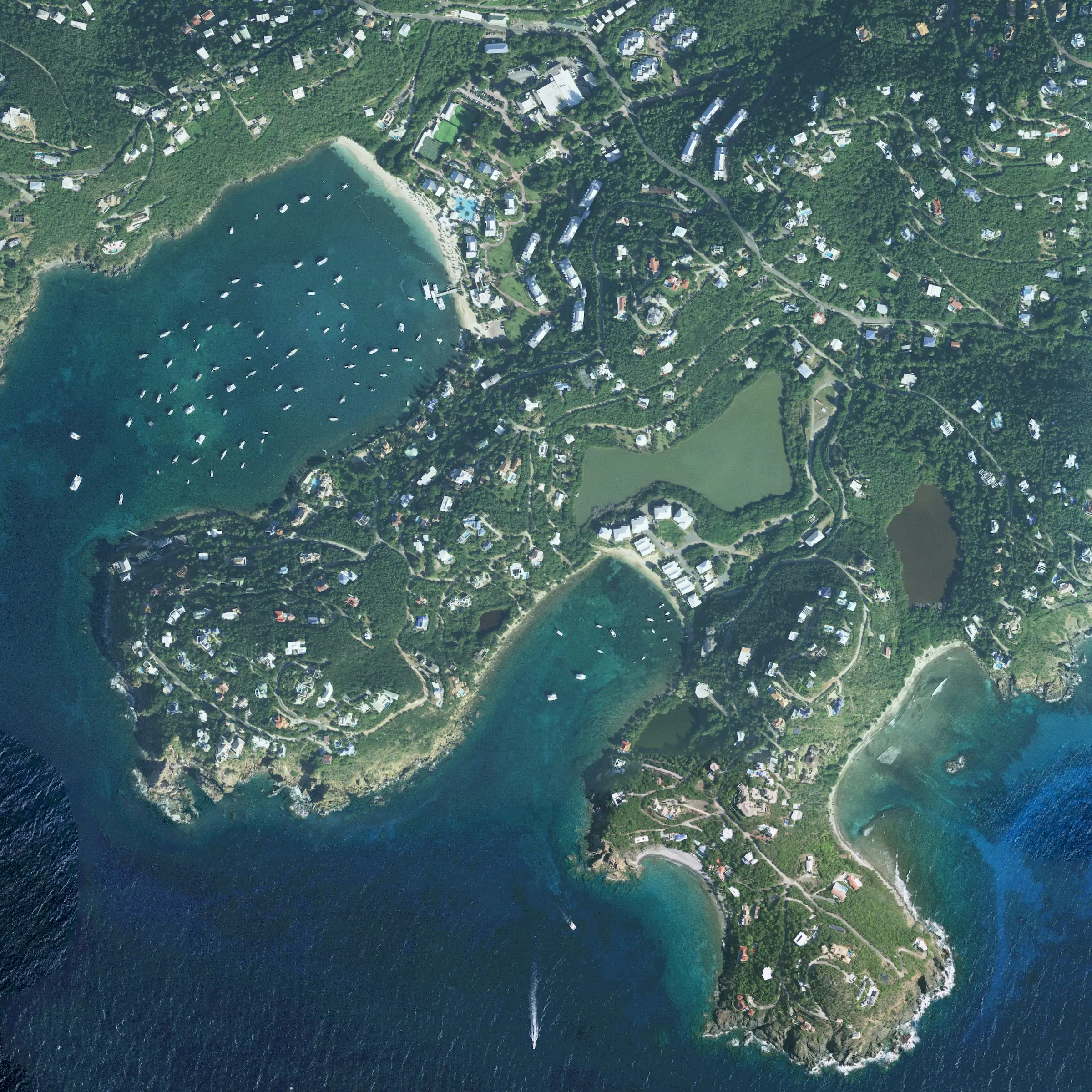
Estates in East End, St. John

With their population in the 2020 Census.

Questions

Where is the East End of St. John?

It is the eastern tip of the island, beyond Coral Bay. The Census Bureau's East End subdistrict has about 0.92 square miles of land. Measured in a straight line between Census internal points, it is about 3.2 miles from the Coral Bay census designated place.

How many people live on the East End of St. John?

The 2020 Census counted 35 residents in the East End subdistrict, down from 51 in 2010. It had 53 housing units, and 32 of them were vacant and held for seasonal, recreational or occasional use.

Is the East End of St. John the same as East End, St. Thomas?

No. The Census Bureau has an East End subdistrict on each of St. John, St. Thomas and St. Croix. In 2020 they had 35, 7,502 and 2,336 residents. Check which island a statistic or an address refers to.

Do East End homes have public water?

Almost none do. In the 2020 Census, 98.1 percent of housing units in the subdistrict reported a cistern, catchment, tanks or drums as a water source, and only one home reported the public system. Ask how large the cistern is and who pays for water deliveries.

Where is the nearest hospital to the East End?

St. John has a community health center, the Myrah Keating Smith Community Health Center in Estate Susannaberg. According to the Department of Tourism, patients who need extensive care are taken by medical boat to St. Thomas. In an emergency, call 911.

Sources

  1. Table 1. Population of the United States Virgin Islands: 2010 and 2020, U.S. Census Bureau (accessed October 29, 2026)
  2. Table 2. 2020 Census Population of the United States Virgin Islands: Estate, U.S. Census Bureau (accessed October 29, 2026)
  3. Table 3. Housing Unit Counts of the United States Virgin Islands: 2010 and 2020, U.S. Census Bureau (accessed October 29, 2026)
  4. Table 4. 2020 Census Housing Unit Counts of the United States Virgin Islands: Estate, U.S. Census Bureau (accessed October 29, 2026)
  5. 2020 Census Demographic Profile, East End subdistrict, St. John: Selected Housing Characteristics (DP4), U.S. Census Bureau (accessed October 29, 2026)
  6. 2020 Census Demographic Profile, St. John Island: Selected Housing Characteristics (DP4), U.S. Census Bureau (accessed October 29, 2026)
  7. TIGERweb: St. John subdistricts (land area and internal points), U.S. Census Bureau (accessed October 29, 2026)
  8. TIGERweb: St. John estates (names and internal points), U.S. Census Bureau (accessed October 29, 2026). Estates are named for the East End subdistrict when their internal point falls inside the subdistrict boundary from the subdistricts layer of the same service.
  9. TIGERweb: subdistrict at a point on the road above Round Bay, in Estate Haulover, U.S. Census Bureau (accessed October 29, 2026). Returns the East End subdistrict; the same point query against layer 0 (Estates) returns Estate Haulover, whose internal point lies in the Central subdistrict.
  10. Domestic Names, U.S. Virgin Islands (Geographic Names Information System), U.S. Geological Survey (accessed October 29, 2026). East End, populated place, St. John, at 18.3396767 N, 64.67458 W; a TIGERweb point query places it in Estate Hansen Bay and the East End subdistrict.
  11. St. Thomas / St. John Feeder Listing, Virgin Islands Water and Power Authority (accessed October 29, 2026)
  12. TIGERweb: U.S. Virgin Islands census designated places (internal points), U.S. Census Bureau (accessed October 29, 2026). Straight-line distances run from the East End subdistrict's internal point to the internal points of the Coral Bay CDP and of Estate Cruz Bay Town.
  13. TIGERweb Transportation: roads in the East End subdistrict, U.S. Census Bureau (accessed October 29, 2026). Secondary roads (layer 6) and local roads (layer 8) were queried against the subdistrict boundary. The East End Road line lies entirely along USVI Highway 10, which also crosses the Coral Bay CDP.
  14. 2026 MAF/TIGER Feature Class Code Definitions, U.S. Census Bureau (accessed October 29, 2026). Defines code S1500, vehicular trail (4WD).
  15. Victor William Sewer Marine Facility, Virgin Islands Port Authority (accessed October 29, 2026)
  16. Health Information, U.S. Virgin Islands Department of Tourism (accessed October 29, 2026)
  17. Disaster Declarations Summaries: DR-4335 (Hurricane Irma) and DR-4340 (Hurricane Maria), Federal Emergency Management Agency (accessed October 29, 2026)
  18. CZM Permitting, Virgin Islands Department of Planning and Natural Resources (accessed October 29, 2026)

More of St. John