What the East End is
The East End is one of the seven Census subdistricts of St. Thomas. Red Hook, the departure point for ferries and car barges to St. John, sits at the island’s eastern end.
- East End subdistrict: 7,502 residents in 2020, down 10.7 percent from 2010. Its housing units grew 18.9 percent, to 6,095, the largest increase of St. Thomas’s seven subdistricts in both number and percent.
- Red Hook: a census designated place with 225 residents and 193 housing units in 2020, compared with 350 residents and 522 housing units in 2010. The Census Bureau notes that a census designated place can have a different boundary from one census to the next, so read that comparison with care.
Estimate as of October 2026. 2020 Census counts from the U.S. Census Bureau’s 2020 Island Areas Censuses, Tables 1 and 3.
Estates on the East End
Census boundary data place Estate Nazareth, Estate Smith Bay, Estate Frydenhoj, Estate Frydendal, Estate Mariendal, Estate Nadir, Estate Langmath, Estate Tabor and Harmony and Estate Coki Point in the East End subdistrict, along with offshore cays such as Great St. James Island and Thatch Cay. See them on our estate map.
| Estate | People, 2020 | Housing units, 2020 |
|---|---|---|
| Smith Bay | 2,199 | 2,169 |
| Nazareth | 1,010 | 1,275 |
| Frydenhoj | 1,088 | 690 |
| Frydendal | 885 | 607 |
| Mariendal | 847 | 459 |
| Nadir | 798 | 481 |
Estimate as of October 2026. 2020 Census counts from the estate tables (Tables 2 and 4).
Estate Nazareth counted more housing units than residents. The Census Bureau counts vacant homes as housing units, including seasonal homes and homes occupied only by people who usually live elsewhere. The totals do not say which applies to any one building.
History in brief
Like estates across the territory, the East End’s estates largely follow the boundaries of the plantations that existed when Denmark transferred the islands to the United States in 1917, according to the Census Bureau.
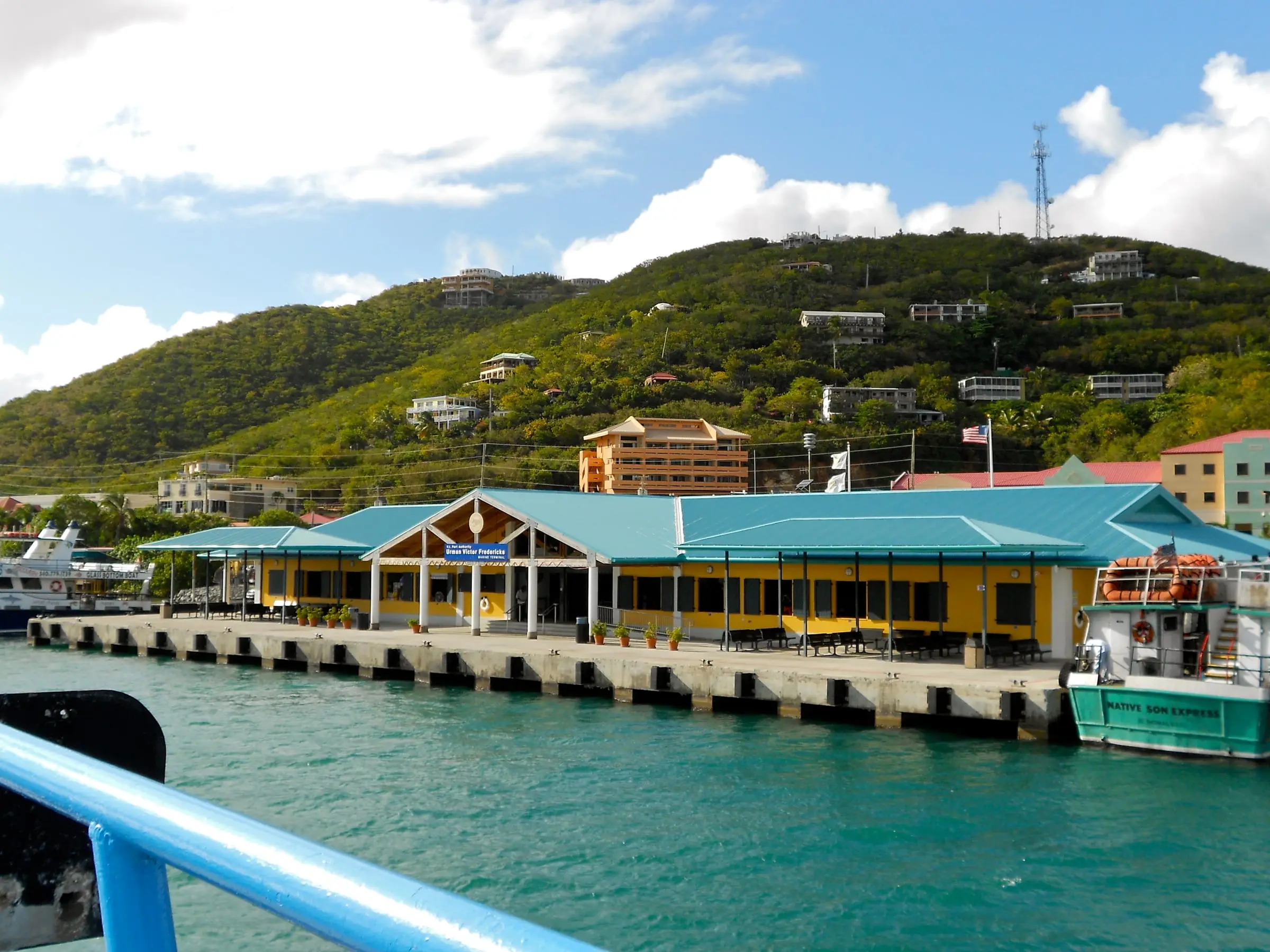
Red Hook’s role as a port is more recent. The Virgin Islands Port Authority (VIPA) credits Captain Urman Victor Fredericks, who was born on St. Thomas and later moved to St. John, with developing the Red Hook area into a cargo port and passenger terminal in 1966. The port was transferred to VIPA in 1969. Construction of the current terminal began in the fall of 2005 and was completed in September 2007, and Act No. 6897, signed in September 2006, named the passenger ferry terminal in his honor.
The Red Hook ferry terminal
VIPA’s Urman Victor Fredericks Marine Terminal mainly serves passengers traveling between St. Thomas, St. John and the British Virgin Islands. It has ticket counters, open-air seating along the dock, restrooms, small restaurants and shops, and paid parking in the terminal’s garage.
- Passenger ferries: VIPA calls Red Hook to Cruz Bay the shortest route to St. John, at about 15 minutes. Its posted weekday schedule runs from 5:30 a.m. to 11:30 p.m., roughly every hour.
- Car barges: Three private companies carry vehicles between the Noel “Breeze” Boynes Car Ferry Dock in Red Hook and Enighed Pond in Cruz Bay. Tickets are not interchangeable, boarding is first-come, first-load, and VIPA advises arriving 30 minutes to an hour early.
- Customs: VIPA plans a two-story U.S. Customs and Border Protection building and a new pier at Red Hook to expand CBP services for travel to and from the British Virgin Islands.
Estimate as of October 2026. VIPA lists one-way passenger fares of $8.15 for non-residents and $6 for residents with a valid USVI ID, and non-resident car barge fares of $50 one way or $65 round trip. Schedules change by season.
Living on the East End
For many households, the ferry is part of daily life. VIPA says many residents commute by ferry to work, school, medical appointments, family visits, shopping and social events. Resident fares require a valid USVI ID.
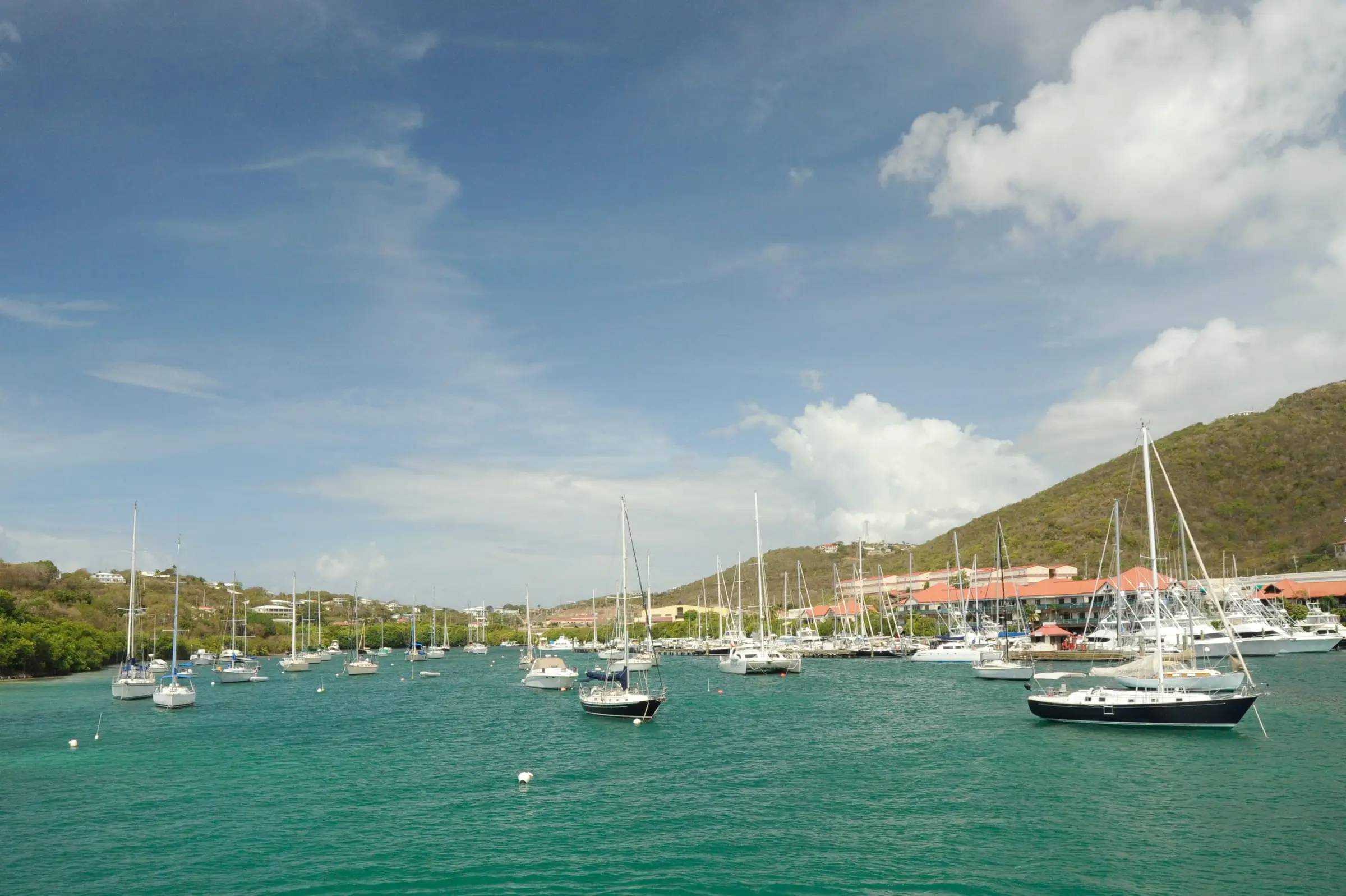
The water is the other constant. DPNR describes the St. Thomas East End Reserves (STEER) as a marine protected area, and it reports a grant, awarded in July 2025, to remove abandoned and derelict vessels from STEER and prevent new ones. If you keep a boat, ask about mooring and anchoring rules before you commit to a slip or a home on the water.
Housing you will find
Expect a mix of condominiums, houses and villas. The Census figures show how much the housing stock has grown: the East End added 967 housing units between 2010 and 2020 while its population fell. In a condo, the association’s documents and rules matter as much as the unit itself; our condo guide lists what to request.
What to research before you commit
- Estate and parcel: Confirm both with the Tax Assessor’s online parcel search and our estate map.
- Storm and flood exposure: The National Hurricane Center reports that Hurricane Irma caused widespread catastrophic damage on St. Thomas in 2017 and likely brought significant storm surge. Ask about flood zones, elevation and insurance near the shore.
- Coastal permits: If you plan to build or renovate near the water, contact DPNR’s Coastal Zone Management program early.
- Commute: If you will work on St. John or in Charlotte Amalie, try the trip at the hours you would travel.
- Rental rules: BIR’s hotel room tax applies to stays of less than 90 days, and condo associations set their own rental rules.
- Water and power: Ask about the water source, any cistern and backup power. WAPA posts a rotational outage schedule on its website.
For the wider island picture, read our St. Thomas island guide and Living in St. Thomas. Our directories of home inspectors and property insurance can help you find licensed help.