Skip to content

Estate Nadir

residents in the 2020 Census
798
acres of land
161

On the map

Estate Nadir and the estates around it, from the Census Bureau's boundary data.

Nearby estates

Estate boundaries are for statistical reference, not legal land descriptions. Sources: Census TIGER/Line 2025 and 2020 Census, Table 2.

Services in Estate Nadir

Tours

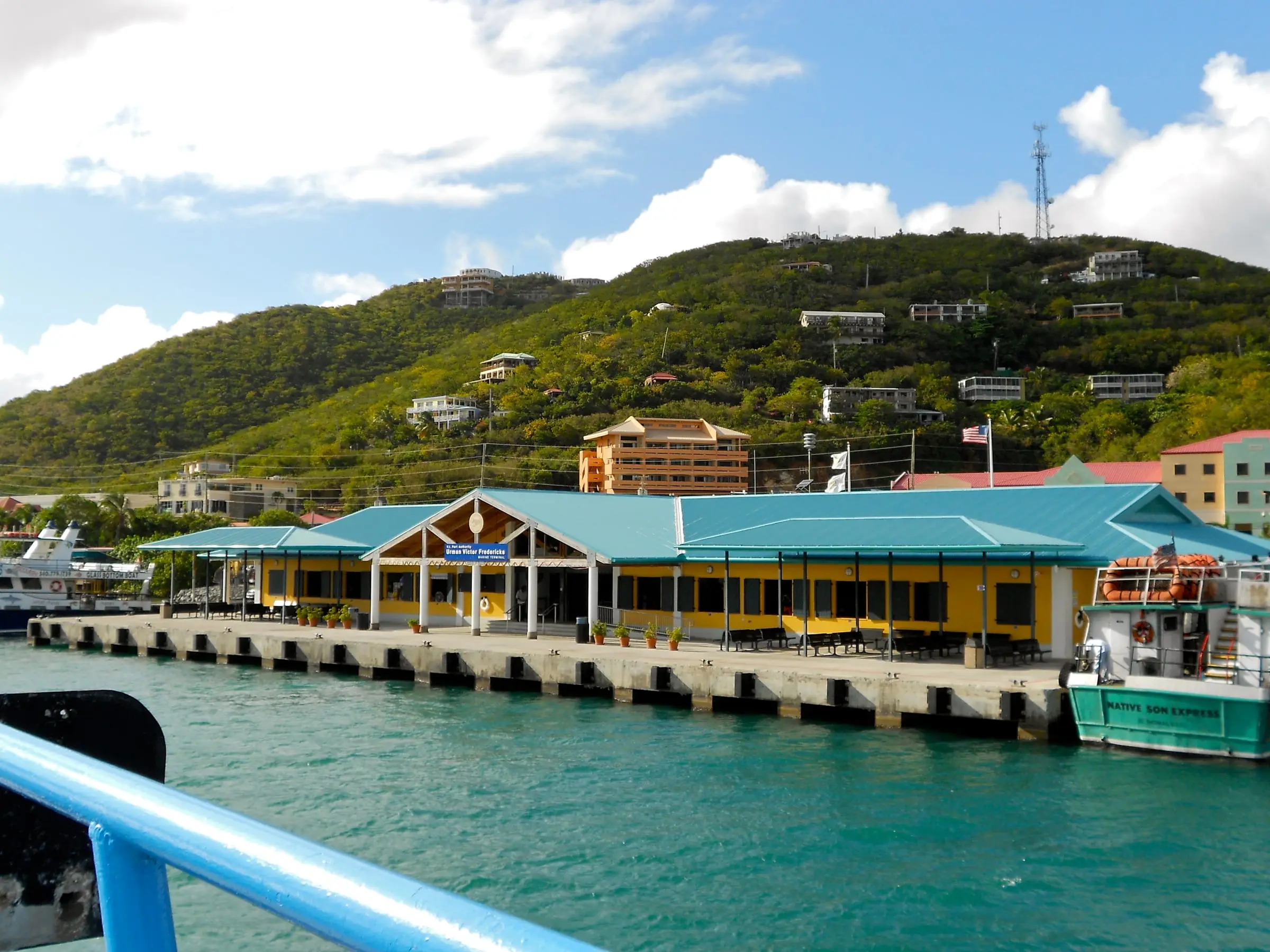
Yellow, teal-roofed Urman Victor Fredericks Marine Terminal on the Red Hook waterfront, seen from an arriving ferry, with homes on the green hillside aboveArea photo

Virgin Islands Ecotours

Last verified October 29, 2026

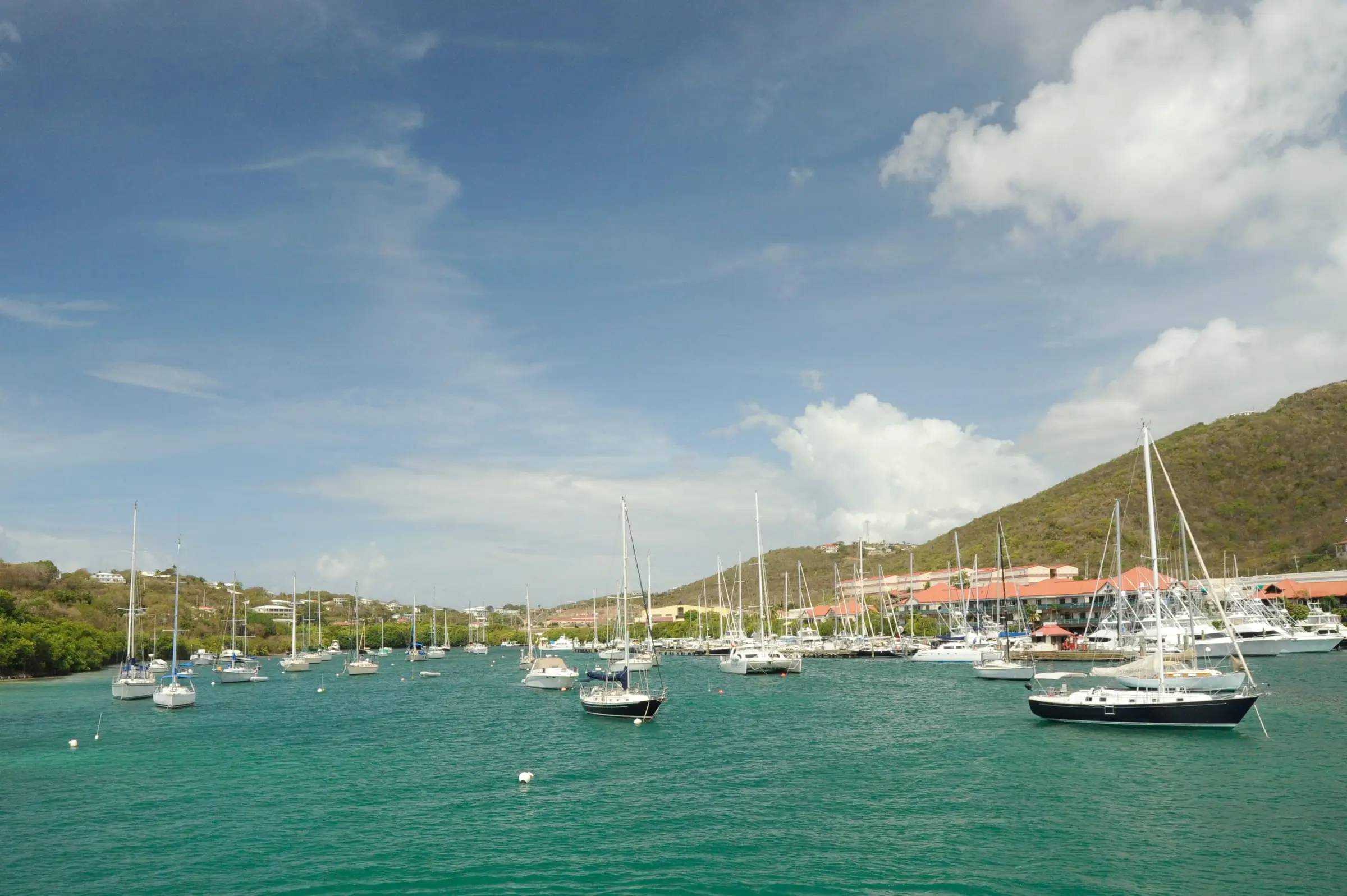
Virgin Islands Ecotours runs guided kayak, hiking and snorkel eco tours from its St. Thomas base on the Mangrove Lagoon, at an Estate Nadir address about a tenth of a mile east of the junction of Routes 30 and…

Red Hook, St. Thomas. Photo: Smallbones, CC0
Around St. Thomas

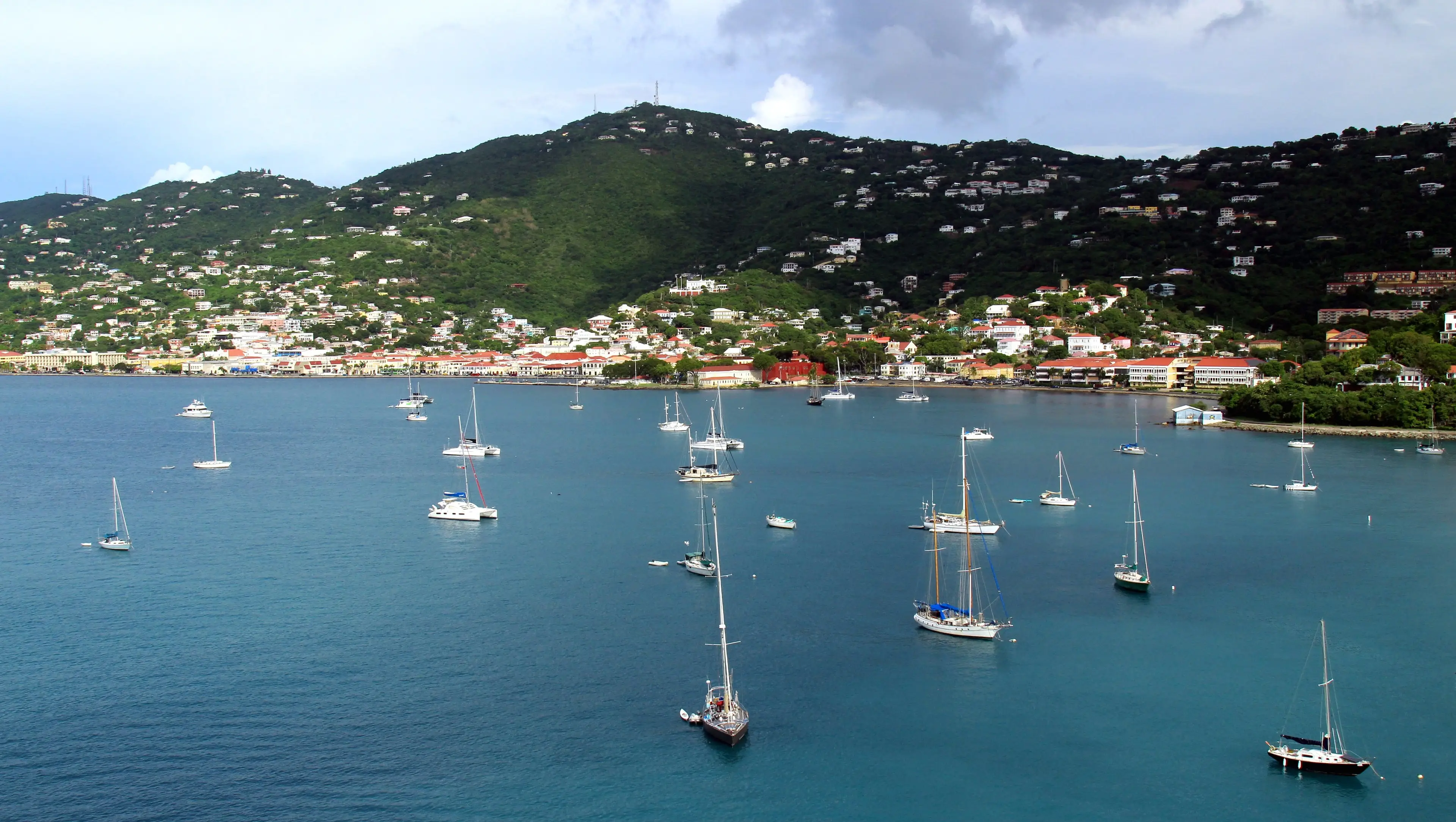
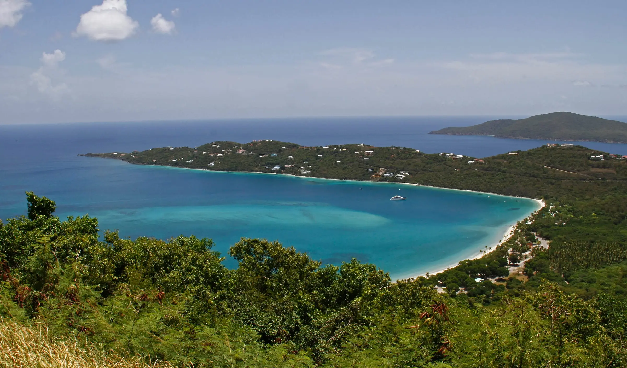
Magens Bay, St. Thomas
Long Bay, Charlotte Amalie, St. Thomas
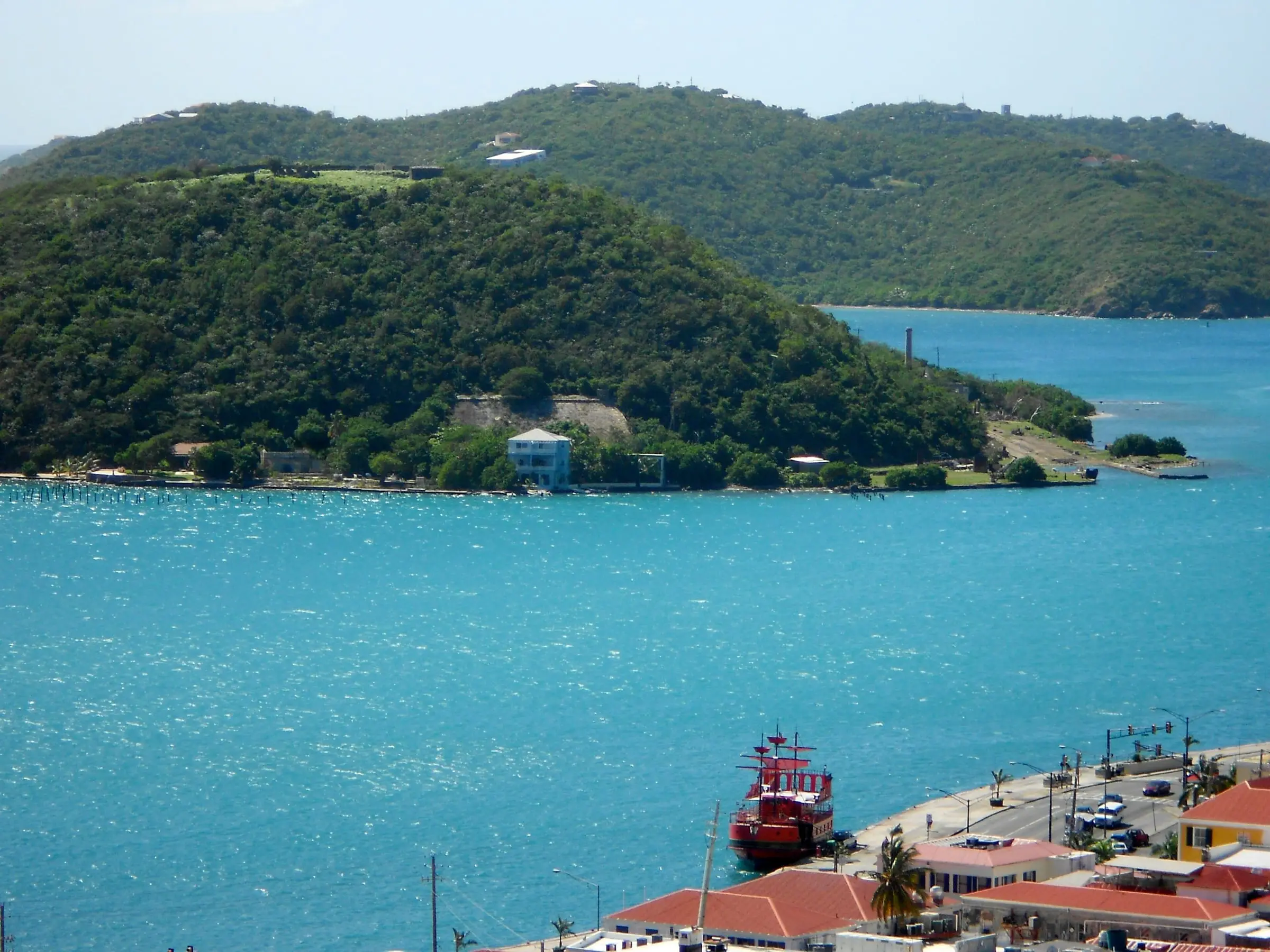
Wooded Hassel Island across the turquoise water of St. Thomas Harbor, with a red boat at the waterfront below

Photo: Smallbones, CC0

St. Thomas Harbor, Charlotte Amalie

More of Red Hook and the East End

Estate names appear in property descriptions and addresses across the islands. Read the guide to the area for what living here is like.

The Red Hook and the East End guide