Overview
St. Thomas is the most populous of the three main U.S. Virgin Islands. The 2020 Census counted 42,261 residents, compared with 41,004 on St. Croix and 3,881 on St. John.
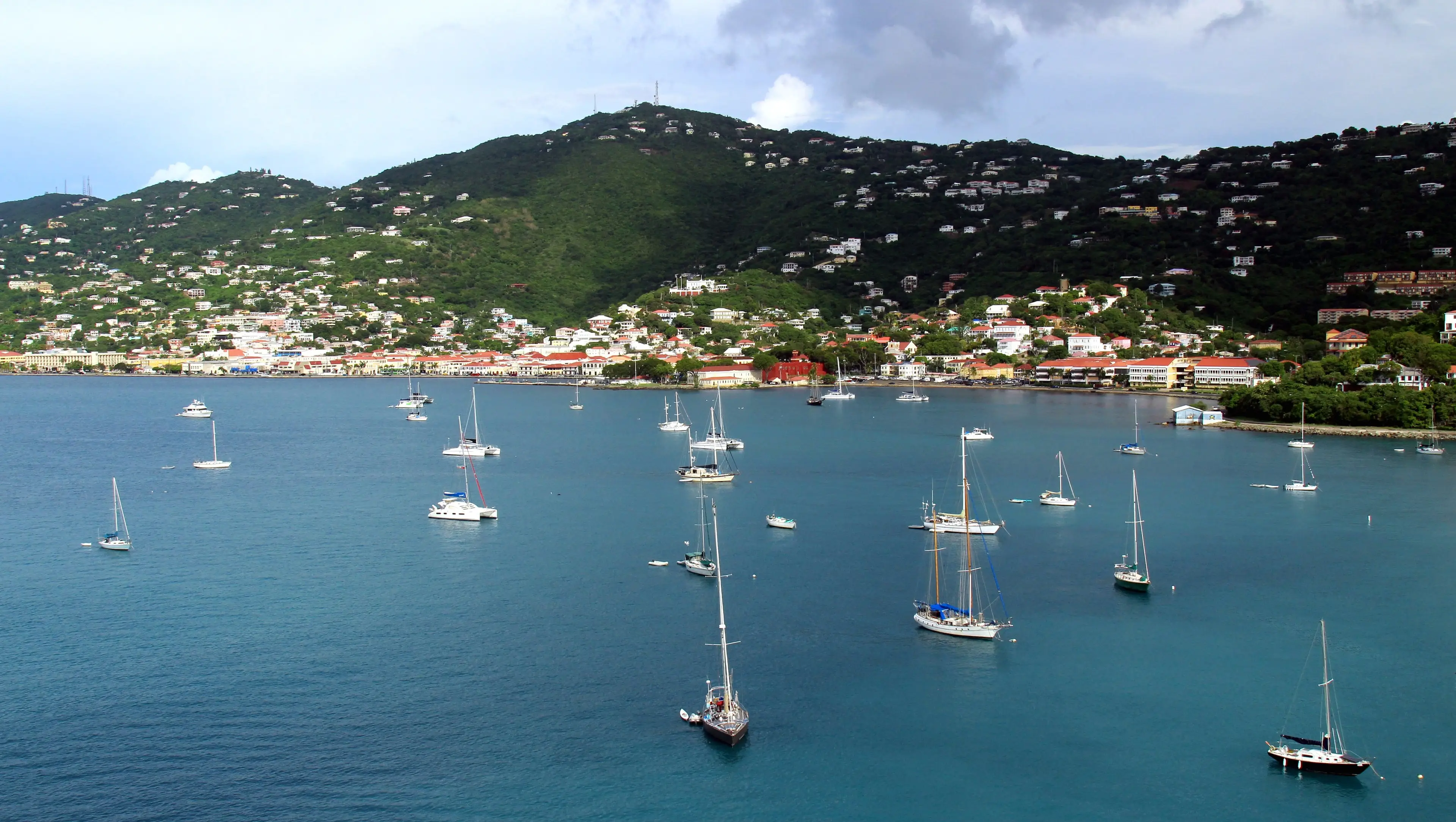
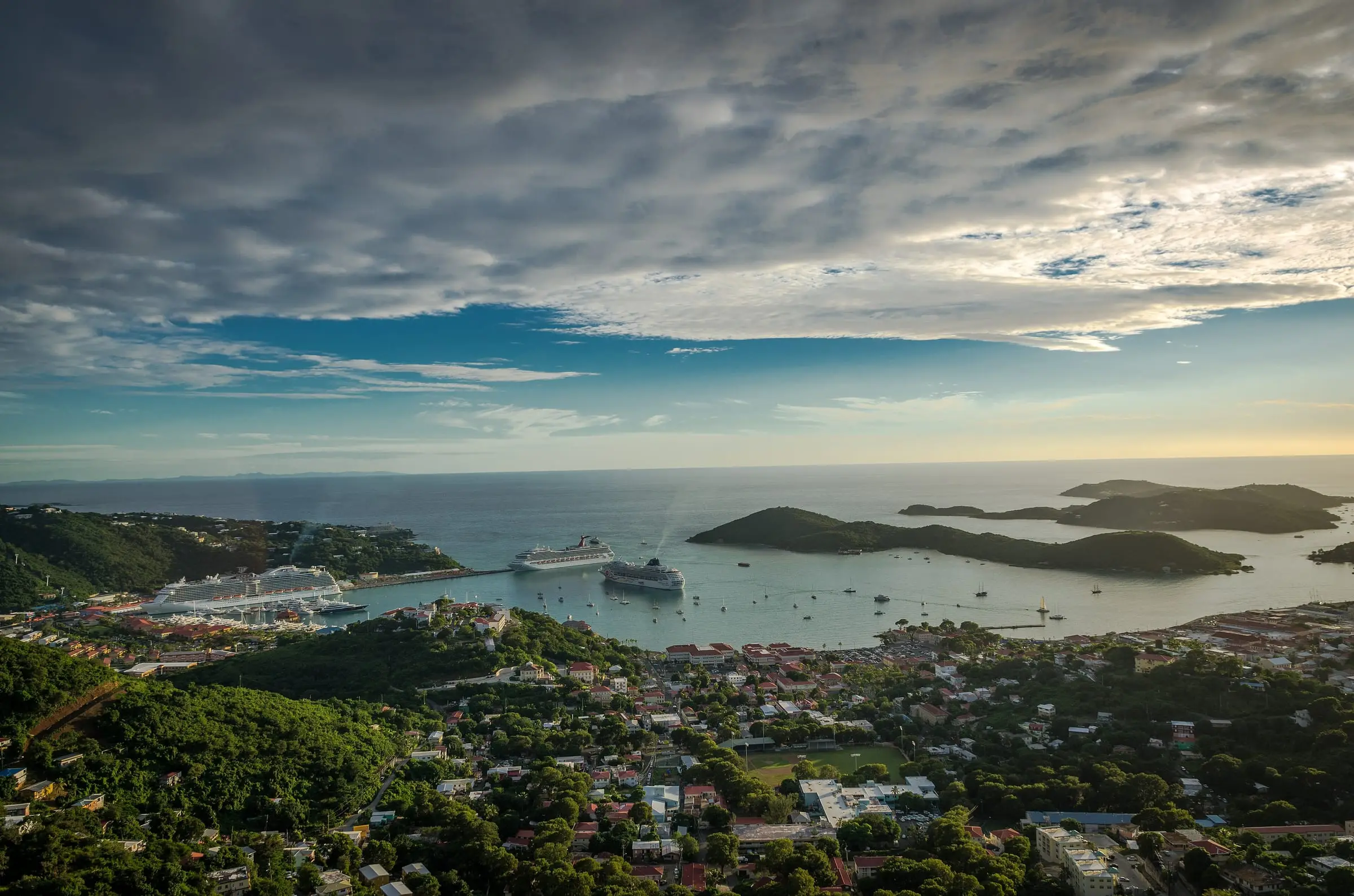
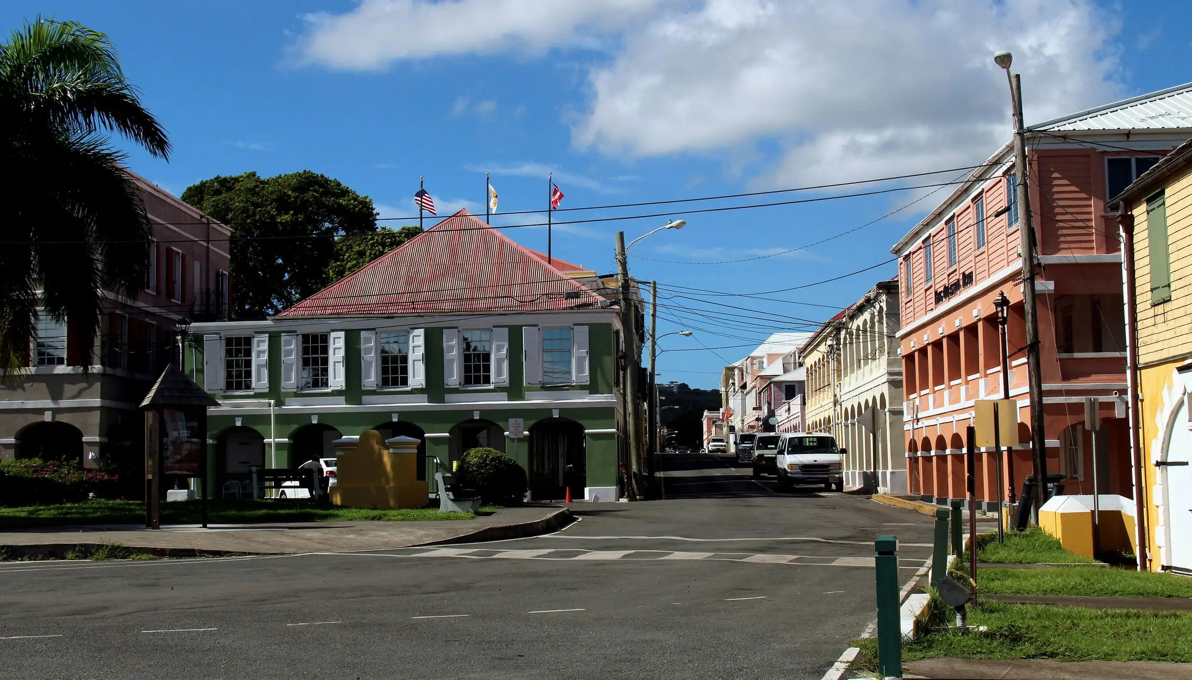
Charlotte Amalie, the territorial capital, sits at the head of St. Thomas Harbor. Its nomination to the National Register of Historic Places dates the first permanent Danish settlement on St. Thomas to 1672, and says the town was named Charlotte Amalie in 1691 in honor of the Queen of Denmark. The United States bought the Danish islands in 1917, and U.S. citizenship was conferred on Virgin Islanders in 1927.
Two Census trends shape the housing picture. Between 2010 and 2020, the island’s population fell 18.2 percent, while its count of housing units rose 3.6 percent, to 28,142. The Census Bureau counts a housing unit whether it is occupied or vacant, so that total includes empty and seasonal homes.
Estimate as of October 2026. Population and housing figures on this page are 2020 Census counts, the most recent full count published for the territory. Current numbers may differ.
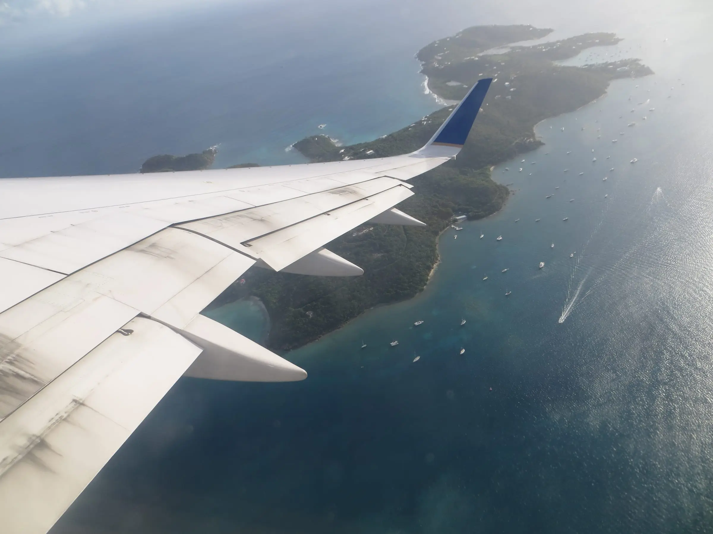
St. John has no airport, so air travelers bound for St. John land here and continue by ferry or car barge.
Towns and neighborhoods
The Census Bureau divides St. Thomas into seven subdistricts, the legal subdivisions it uses to report data for the island.
| Subdistrict | People, 2020 | Change from 2010 | Housing units, 2020 |
|---|---|---|---|
| Charlotte Amalie | 14,477 | Down 21.7% | 8,606 |
| East End | 7,502 | Down 10.7% | 6,095 |
| Northside | 8,889 | Down 11.5% | 6,238 |
| Southside | 4,112 | Down 24.0% | 2,909 |
| Tutu | 5,129 | Down 25.3% | 2,777 |
| Water Island | 164 | Down 9.9% | 189 |
| West End | 1,988 | Down 11.3% | 1,328 |
Estimate as of October 2026. 2020 Census counts from the U.S. Census Bureau’s 2020 Island Areas Censuses, Tables 1 and 3.
Estates
Below the subdistricts, land is described by estate. The Census Bureau explains that estate boundaries are primarily those of the former agricultural plantations that existed when Denmark transferred the islands to the United States in 1917. Estates sit within one island but do not always fit inside one subdistrict. Addresses and property records use them: the Port Authority’s St. Thomas office, for example, is at 8074 Lindbergh Bay. Explore the boundaries on our estate map.
Charlotte Amalie
The capital is the largest subdistrict by population. The Census separately counts Charlotte Amalie town, with 8,194 residents in 2020. The airport is about two miles west of town at Lindbergh Bay. Estates here include Estate Thomas, Estate Altona and Welgunst, Estate Hospital Ground and Estate Lindbergh Bay. Read our Charlotte Amalie guide.
East End
Red Hook, where ferries and car barges leave for St. John, is on the East End. Between 2010 and 2020, the subdistrict lost 10.7 percent of its residents, but its housing units grew 18.9 percent, the largest increase of the seven. Estates here include Estate Nazareth, Estate Smith Bay and Estate Frydenhoj. Read our Red Hook and East End guide.
Northside
Northside covers the most land of the seven subdistricts in Census boundary data. It counted 8,889 residents in 2020, and its housing units grew 12.7 percent from 2010. Estates here include Estate Peterborg, Estate Mandahl, Estate Hull and Estate Lovenlund.
Southside
Southside counted 4,112 residents in 2020, down 24.0 percent from 2010. Estates here include Estate Bovoni, Estate Frenchman Bay and Estate Bolongo.
Tutu
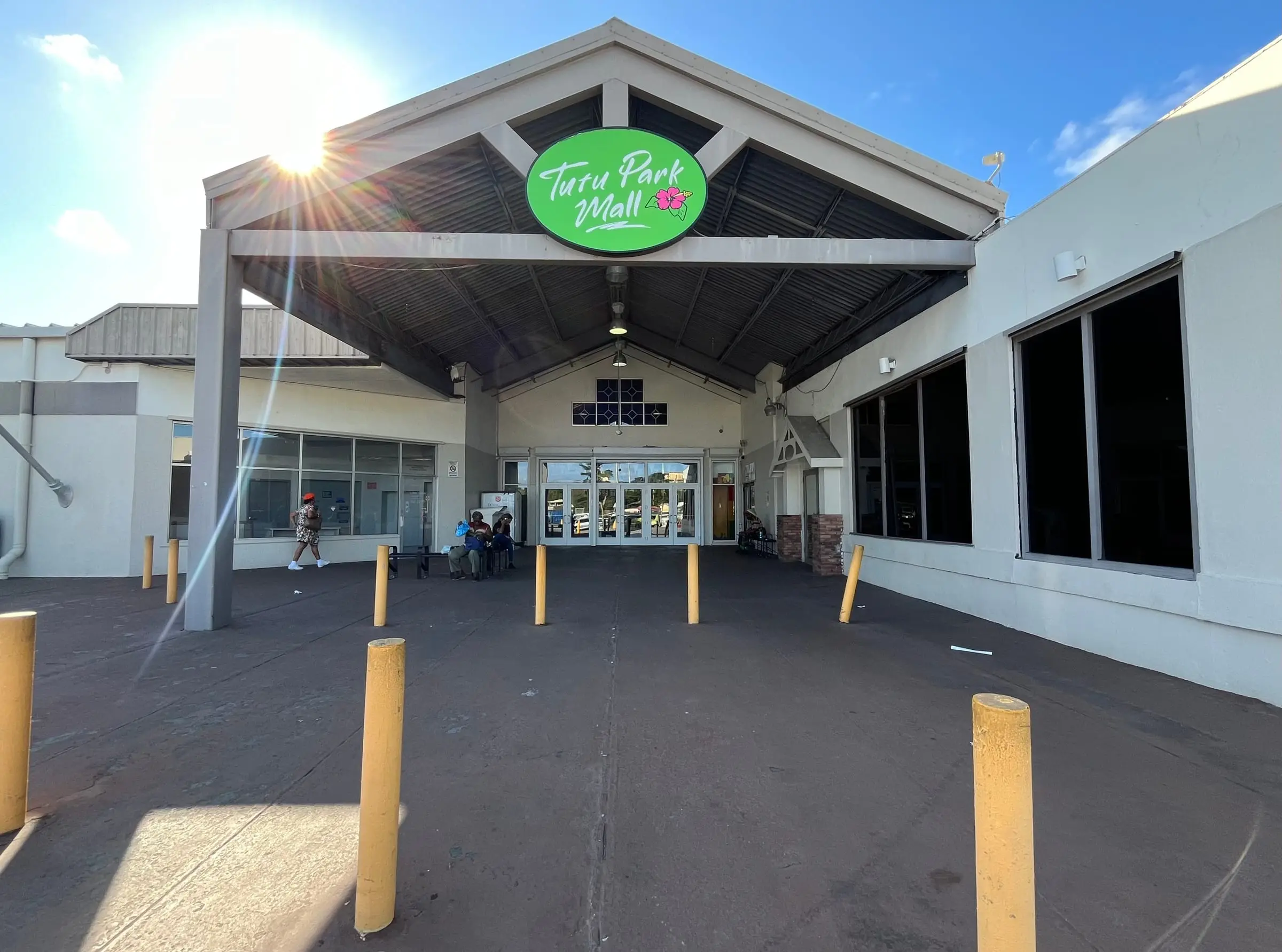
Tutu had the steepest population drop of the seven, down 25.3 percent to 5,129 residents. The Census also reports a Tutu census designated place, with 5,519 residents in 2020. Census designated place boundaries can change from one census to the next.
Water Island
The smallest subdistrict counted 164 residents and 189 housing units in 2020, so homes outnumbered residents. In Census boundary data it also takes in Hassel Island in St. Thomas Harbor, where 128 acres are part of Virgin Islands National Park. On Water Island itself, Fort Segarra preserves concrete defenses from World War II, according to the National Park Service.
West End
The West End counted 1,988 residents in 2020, and its housing units grew 17.7 percent from 2010. Estates here include Estate Bordeaux, Estate Fortuna, Estate Botany Bay and Estate Santa Maria.
Property types
Condominiums
A condo purchase generally gets you a unit plus a shared interest in the building and grounds, run by an owners’ association with its own budget and rules. Those rules can limit rentals, pets and renovations, so read them before you commit. See our guide to buying a condo in St. Thomas.
Houses and villas
Houses and villas sit in estates across the island. Ask how each one gets water and power, what shape the access road is in, and how it is protected from storms.
Historic buildings
Much of downtown Charlotte Amalie is a historic district. Its National Register nomination notes that most of its buildings went up after a series of fires between 1804 and 1832, when new codes required masonry in the commercial area. Within the town’s historic and architectural control district, territorial law bars building, altering or demolishing a structure until the Virgin Islands Historic Preservation Commission has acted on the plans.
Land
Buying land means researching the parcel, road access, slope, utilities and permits before you plan a build. Start with the estate map and the Tax Assessor’s parcel search.
Ownership considerations
Work through these areas with licensed professionals before you buy. Our guides to buying property in the USVI and the costs of buying cover the process.
Records and property tax
The Recorder of Deeds, part of the Office of the Lieutenant Governor, records property deeds, mortgages and liens. The same office runs the Tax Assessor and Tax Collector, which offer online parcel and tax bill searches. The Tax Collector issues property tax clearance letters, and the Tax Assessor publishes a Homestead Tax Credit application. Ask the Tax Assessor how a property is assessed and what rate applies.
Estimate as of October 2026. The Tax Collector’s page lists a fee of $25.00 for a property tax clearance letter.
Storms and insurance
The National Hurricane Center lists the Atlantic hurricane season as June 1 to November 30, with a peak around September 10. In September 2017, Hurricane Irma caused widespread catastrophic damage on St. Thomas and St. John, and Hurricane Maria followed two weeks later with flooding and mudslides. Ask for a property’s storm history, flood zone and insurance quotes before you commit. The Division of Banking, Insurance and Financial Regulation links to a lookup of licensed insurers, and our property insurance directory is a starting point.
Permits and coastal rules
The Department of Planning and Natural Resources (DPNR) enforces the building codes, including the 2024 International Building Code and International Residential Code. Ask whether past additions and repairs were permitted. DPNR’s Coastal Zone Management program handles coastal zone permitting, so ask early if a property is near the water.
Water and power
The Water and Power Authority (WAPA) supplies electricity and publishes water rates and water quality reports for St. Thomas and St. John. Its website also posts a rotational outage schedule and an outage map. Ask how a property gets its water (a WAPA connection, a cistern or both) and what backup power it has.
Licensed professionals
Real estate brokers and salespersons in the territory are licensed through the Department of Licensing and Consumer Affairs (DLCA), whose site links to a license search. Hire your own inspector, and work with a Virgin Islands attorney and a title company. Our directories list home inspectors, real estate attorneys and title companies.
Rental considerations
Renting before you buy is one way to learn the island. A few rules shape both kinds of rental.
Short-term rentals
The Bureau of Internal Revenue (BIR) applies its hotel room tax when a guest rents an apartment, condominium or residence for a total period of less than 90 days. The hotel or other lessor collects the tax and remits it to BIR monthly on Form 722 V.I.
Estimate as of October 2026. BIR’s Tax Structure Booklet lists the hotel room tax at 12.5 percent of the gross room rate. Confirm the current rate with BIR.
In a condo complex, the association’s rules decide whether short-term rentals are allowed at all. Ask DLCA whether renting requires a business license, and ask a tax adviser how rental income is taxed. Treat any income projection as a guess until a professional has reviewed it.
Long-term rentals
Before you sign a lease, ask who pays for power and water, who maintains any cistern or generator, how storm shutters and storm damage are handled, and what the lease says about renewal. See our renting section and Living in St. Thomas.
Getting around and getting here
Flying in
Cyril E. King Airport (STT) is about two miles west of Charlotte Amalie, according to the Virgin Islands Port Authority (VIPA). VIPA’s travel page reminds adults that the airport checkpoint requires valid identification, such as a REAL ID-compliant license or a passport.
Driving, taxis and buses
The National Park Service puts it simply: “We drive on the left here in the Virgin Islands.” Taxi rates are set by the Virgin Islands Taxi Cab Commission and approved by the Legislature. VIPA says official taxis have a dome light and “TP” on the license plate, and only multi-destination vans serve the airport. VITRAN, the territory’s public transit system, runs fixed-route buses and paratransit.
Estimate as of October 2026. The Department of Public Works lists a regular VITRAN fare of $2.00, effective July 18, 2024. Riders 60 and older and riders with a disability ride free with valid ID.
Ferries and cruise ships
VIPA describes two passenger routes to Cruz Bay on St. John. The shorter one, from Red Hook, takes about 15 minutes, with weekday departures roughly every hour from 5:30 a.m. The longer route leaves from downtown Charlotte Amalie, and another service runs from Crown Bay. Three private companies run car barges between Red Hook and Enighed Pond in Cruz Bay, and a ferry to St. Croix leaves the Charlotte Amalie waterfront Thursday through Monday.
Estimate as of October 2026. VIPA lists a one-way Red Hook to Cruz Bay passenger fare of $8.15 for non-residents and $6 for residents with a valid USVI ID, and non-resident one-way car barge fares of $50. Schedules change by season.
Comparing islands? Read St. Thomas vs. St. Croix.