What is the Northside?
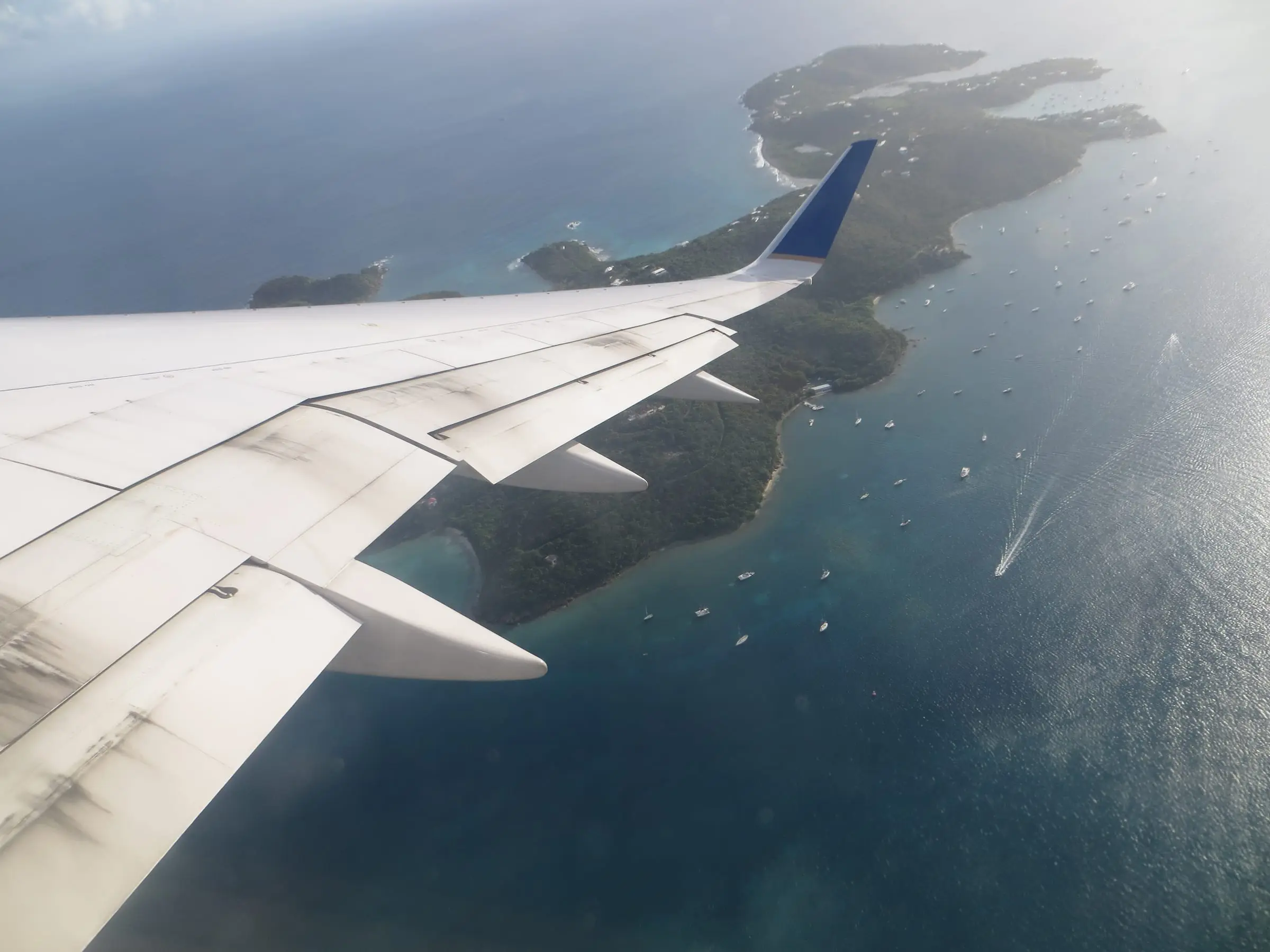
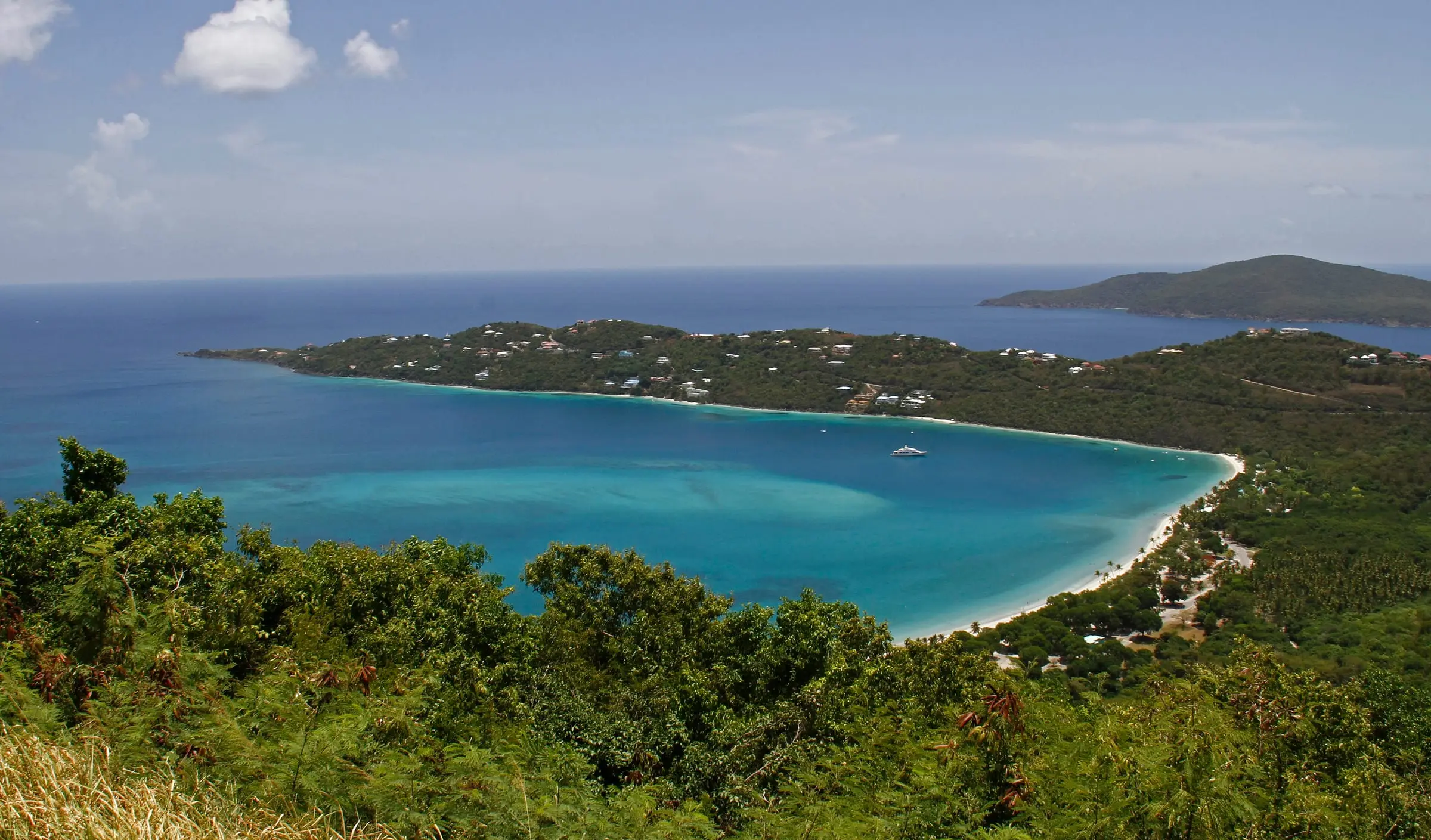
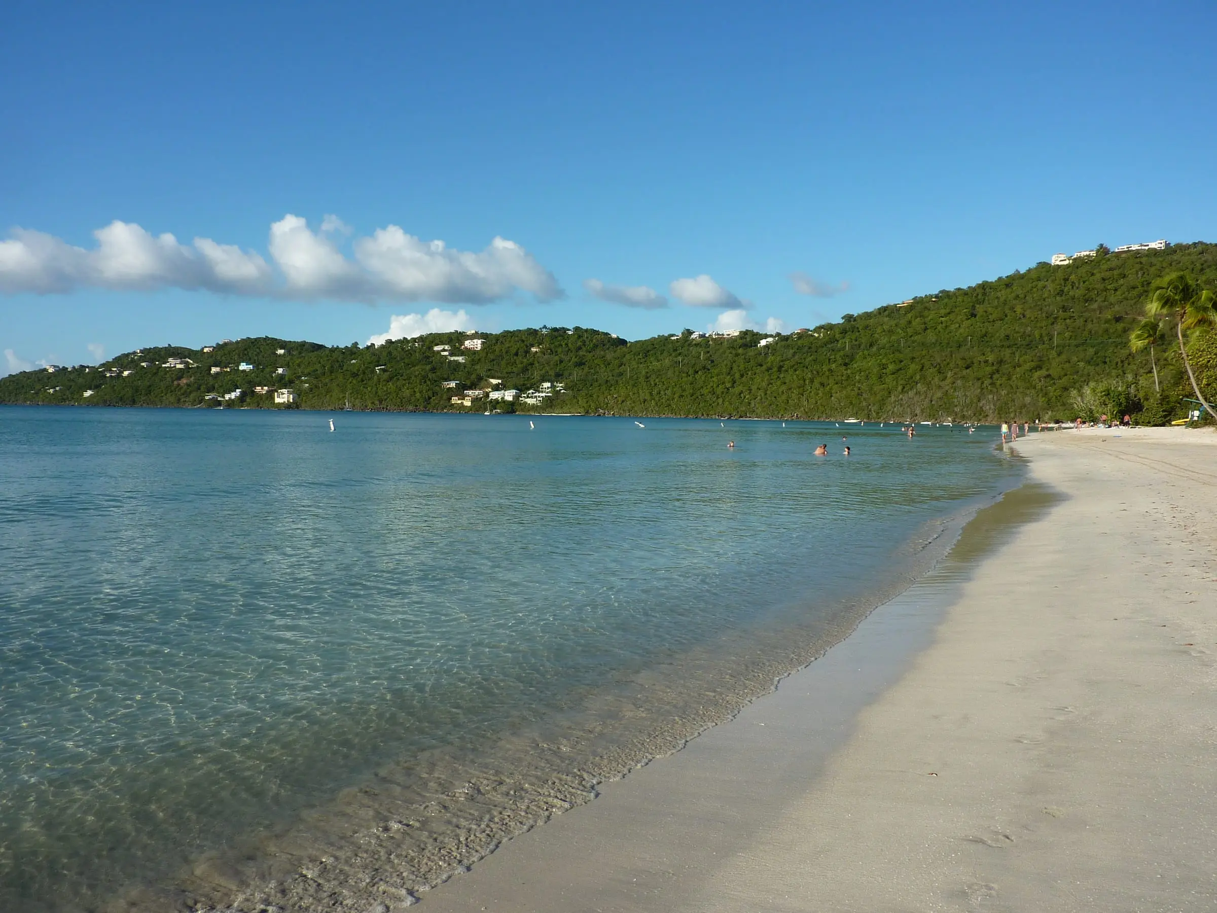
Northside is one of the seven Census subdistricts of St. Thomas and by far the largest by land area, at about 10.6 square miles, roughly a third of the island’s land. Census boundary data put the shores of Hull Bay and Magens Bay in the subdistrict, along with offshore cays such as Hans Lollik, Inner Brass and Outer Brass islands. The Magens Bay Authority’s official website describes its beach as nestled on the north coast of St. Thomas.
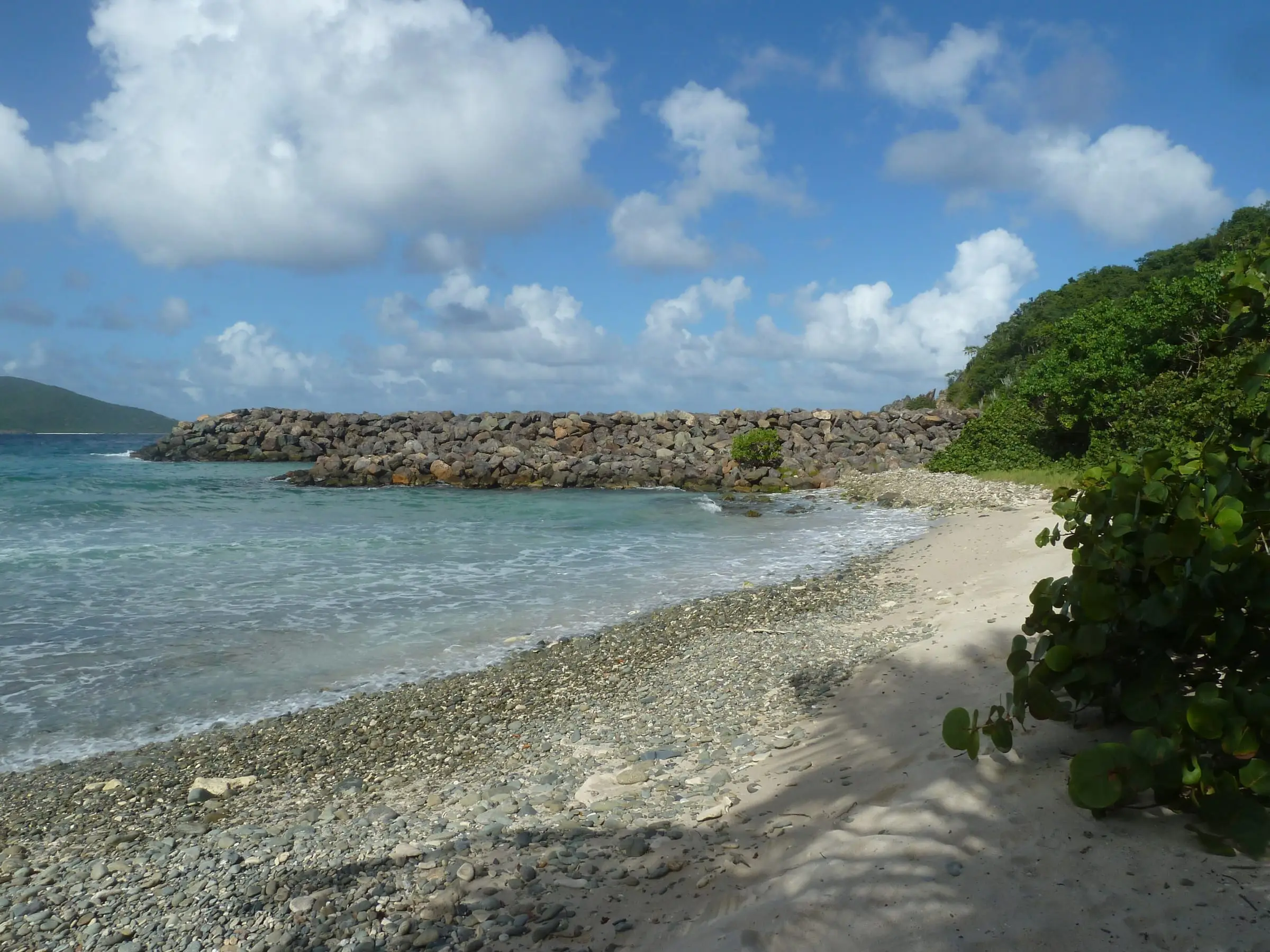
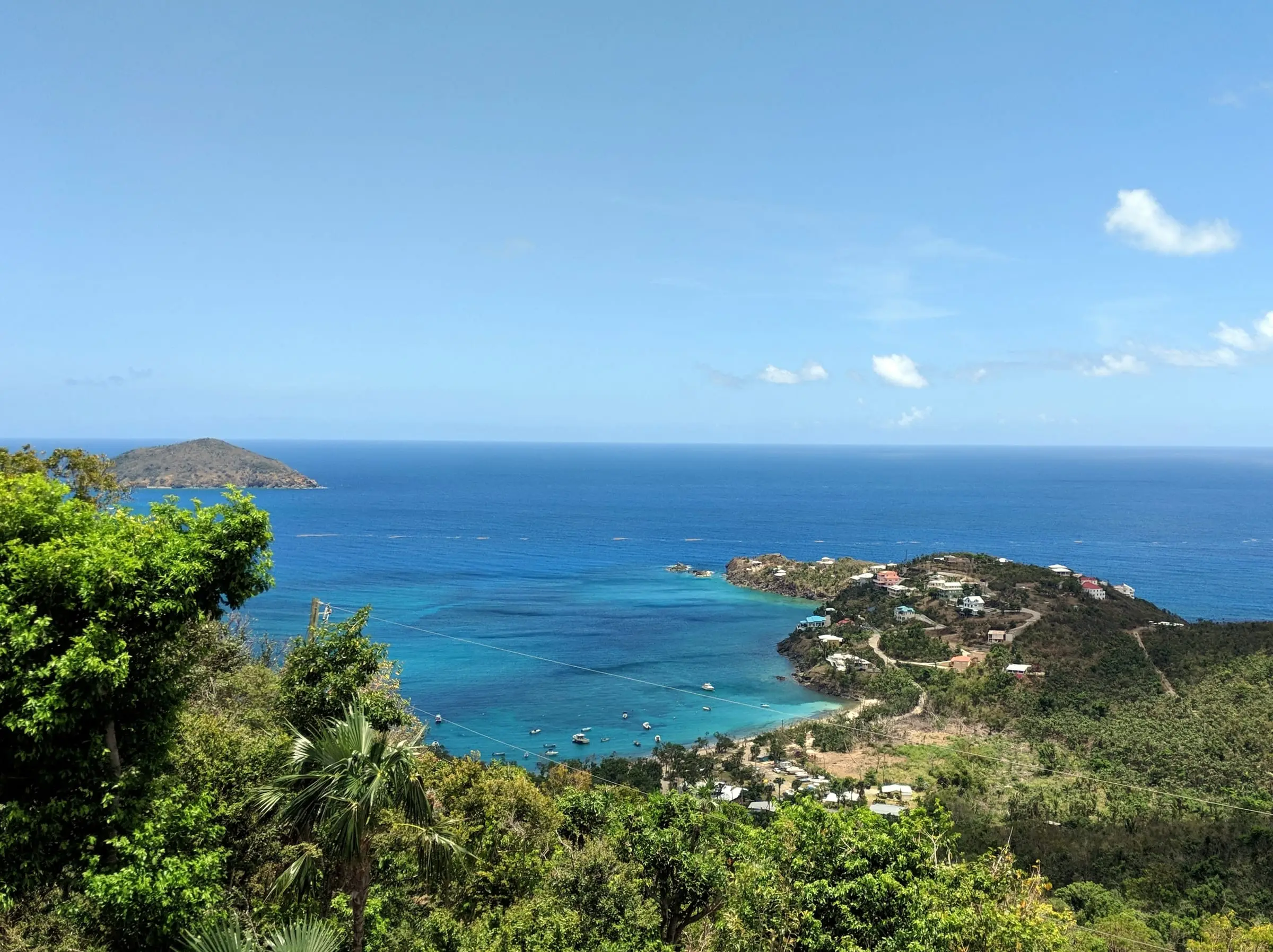
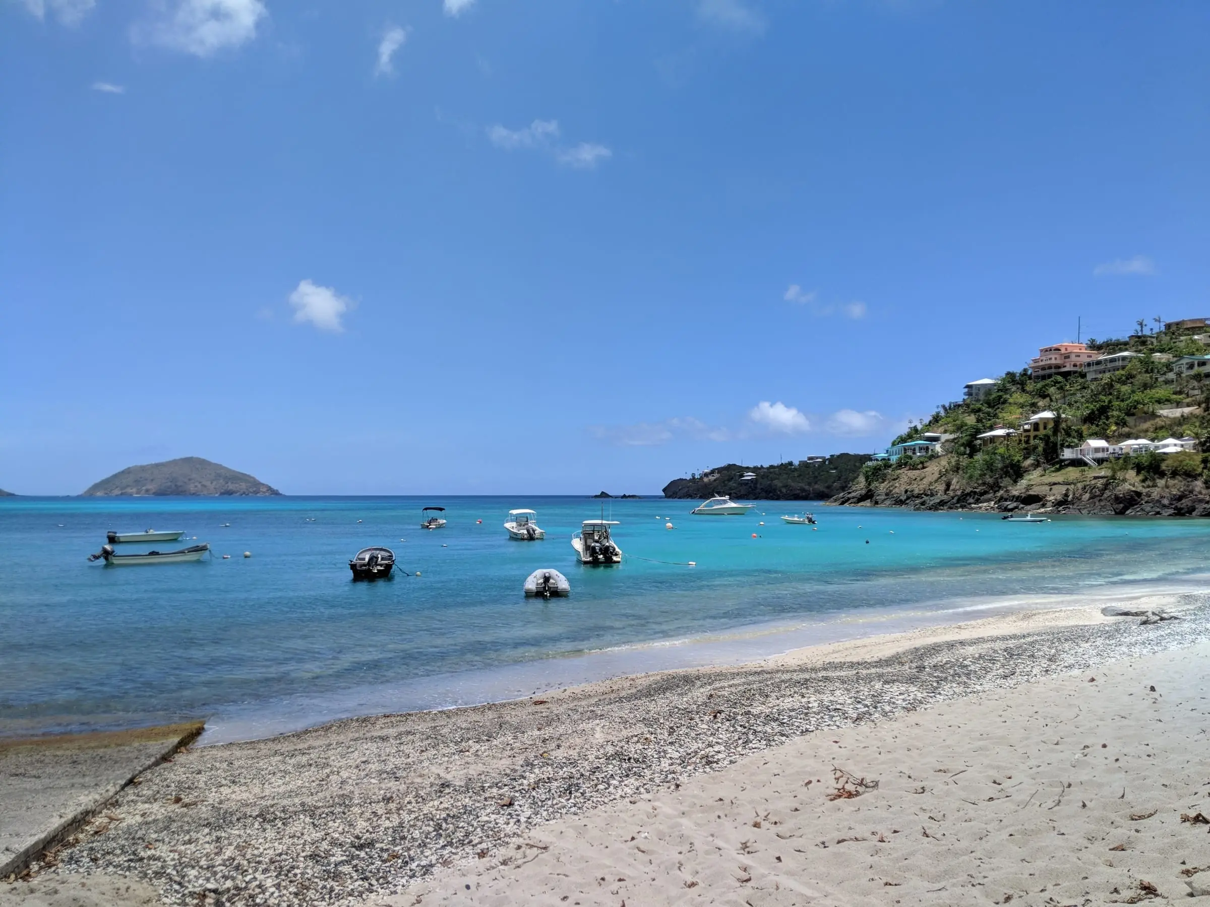
Hull Bay, shown above, is a working shore as well as a beach. In August 2023 the Governor’s office said DPNR planned to replace the Hull Bay boat ramp, which collapsed in February 2019 and was repaired, with a 120-foot ramp (the existing one is just short of 100 feet), and to add parking for vehicles, boat trailers and beachgoers. It called the project the result of decade-old requests from local fishers and beachgoers. Ask DPNR for its current status.
Magens Bay is public land. The Magens Bay Authority says Arthur S. Fairchild donated 56 acres, including the beach, to the Municipalities of St. Thomas and St. John in 1946 for a public park, and that land acquired in 2002 became the 319-acre Magens Bay Watershed. The Authority now oversees Magens Bay Park, Smith Bay Park and the watershed.
Northside by the numbers
The Census Bureau’s 2020 counts for the Northside subdistrict:
- People: 8,889 residents, down 11.5 percent from 10,049 in 2010. Only the Charlotte Amalie subdistrict had more people on St. Thomas.
- Homes: 6,238 housing units, up 12.7 percent from 5,536, even as the population fell.
- Estates: Census boundary data place dozens of estates here. The most populous were Wintberg (936 residents), Lovenlund (772), St. Joseph and Rosendal (718) and Solberg (698). Estate Hull had 386 and Estate Peterborg 236. See them on our estate map.
What housing will you find?
The Northside mixes houses and small multi-unit buildings. In the 2020 Census:
| Housing units by building type | Northside | St. Thomas |
|---|---|---|
| Detached single-family homes | 27.6% | 25.1% |
| Attached single-family homes | 7.1% | 5.2% |
| Two units | 26.8% | 21.2% |
| Three or four units | 22.6% | 21.8% |
| 5 to 19 units | 11.0% | 18.0% |
| 20 or more units | 4.7% | 7.7% |
Renters occupied 52.3 percent of occupied homes, against 59.4 percent island-wide, and 46.6 percent of owner-occupied homes had a mortgage, against 36.9 percent. More of the homes standing in 2020 were built in the 1980s (1,508) than in any other decade, but newer building is common too: 20.9 percent of units were built in 2000 or later, against 13.5 percent island-wide. On Census Day, 27.8 percent of all units were vacant.
Estimate as of October 2026. The 2020 Census put the median value of owner-occupied homes in the Northside subdistrict at $493,813 and the median gross rent at $1,185 a month, the highest of St. Thomas’s seven subdistricts on both counts. Island-wide figures were $356,977 and $960. These are 2020 figures, not current prices or asking rents.
For condominium complexes, see our communities section and our condo guide.
Water, wastewater and daily life
Few Northside homes are on public utilities for water and sewage. In 2020, 91.1 percent of housing units reported a cistern, catchment, tanks or drums as a water source, 22.8 percent a water truck and 8.9 percent the public system. A home can report more than one source. For wastewater, 79.9 percent reported a septic tank or cesspool and 18.1 percent a public sewer.
Plan on driving. Only 7.4 percent of Northside households had no vehicle in 2020, against 18.8 percent across St. Thomas. If you work from home, note that 85.0 percent of households had a broadband internet subscription, against 80.1 percent island-wide; ask providers about service at the exact address.
For families, the Department of Education’s public elementary schools include Joseph Sibilly Elementary in Estate Elizabeth and Yvonne E. Milliner-Bowsky Elementary in Estate Mandahl. Census boundary data place both estates in the Northside subdistrict. See our directories of schools, beaches and parks, marinas and cistern and water services.
What should you check before you buy or rent?
- Parcel and estate. Confirm both with the Tax Assessor’s online parcel search and our estate map.
- Cistern and septic. Ask about cistern size, condition and last cleaning, and whether a water truck can reach the tank. Have a home inspector check the septic system.
- Backup power. Ask what the home uses when the grid is down; see solar and generators.
- Shoreline lots. DPNR’s Coastal Zone Management program assesses all proposed development in Tier 1, the coastal zone, and its website has a map to check a parcel. Its spring 2023 lists of applications in review included new homes, a stone wall, a solar array and a driveway with a cistern in Estates Peterborg, Lovenlund, Hull and Lerkenlund.
- Flood exposure. FEMA’s Flood Map Service Center is the official source for flood maps. Our hurricane and flood insurance guide explains cover.
- Commute. Drive the route at the hours you would travel.
For the wider island, read our St. Thomas island guide and Living in St. Thomas.