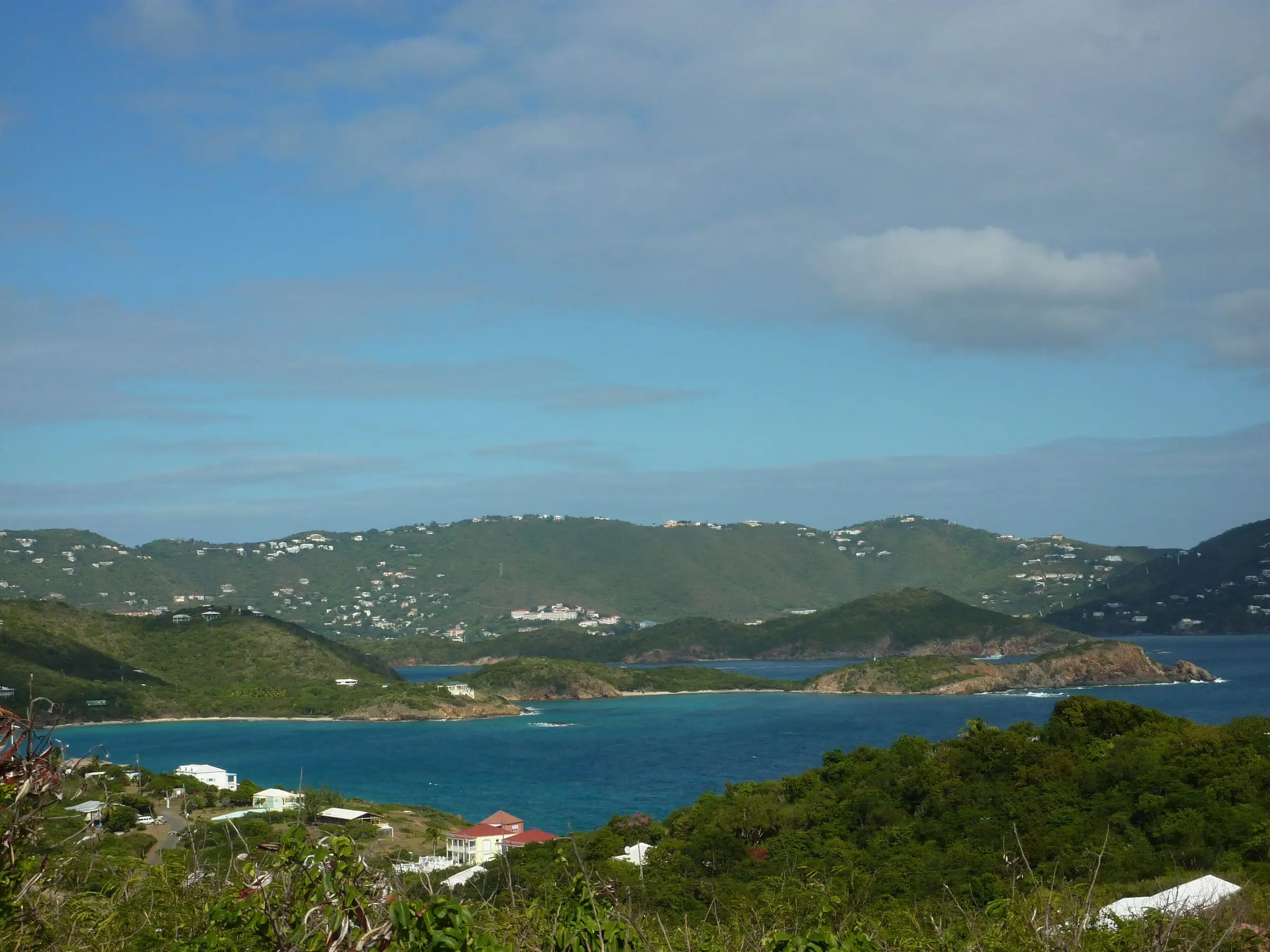
Where is Water Island?
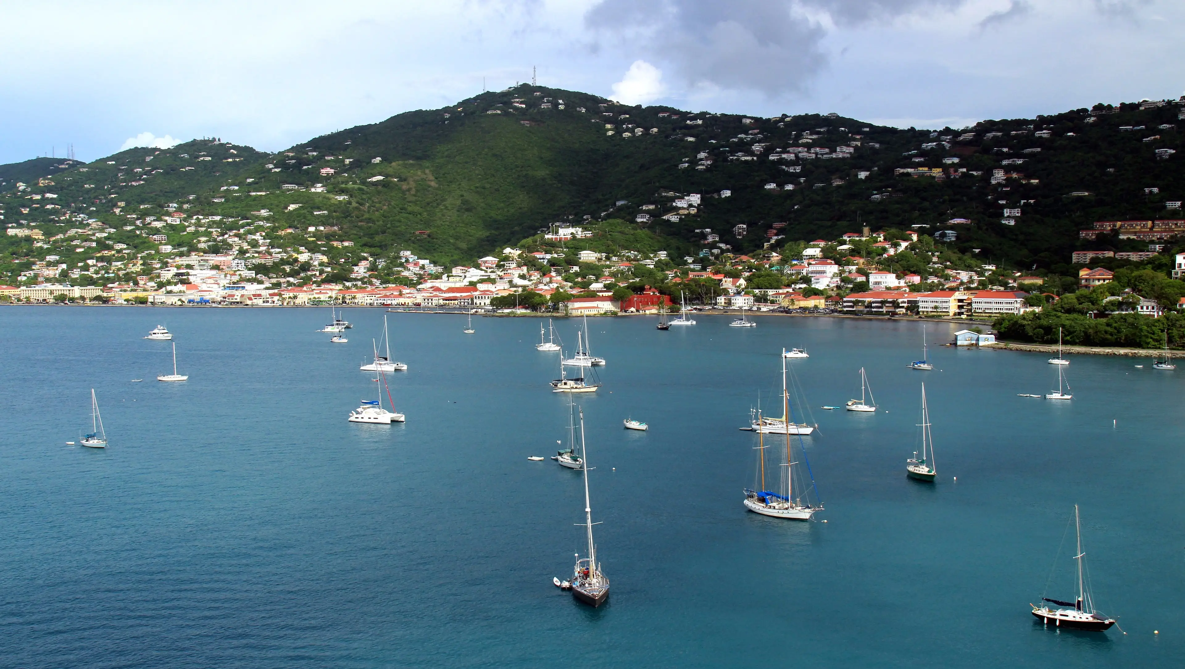
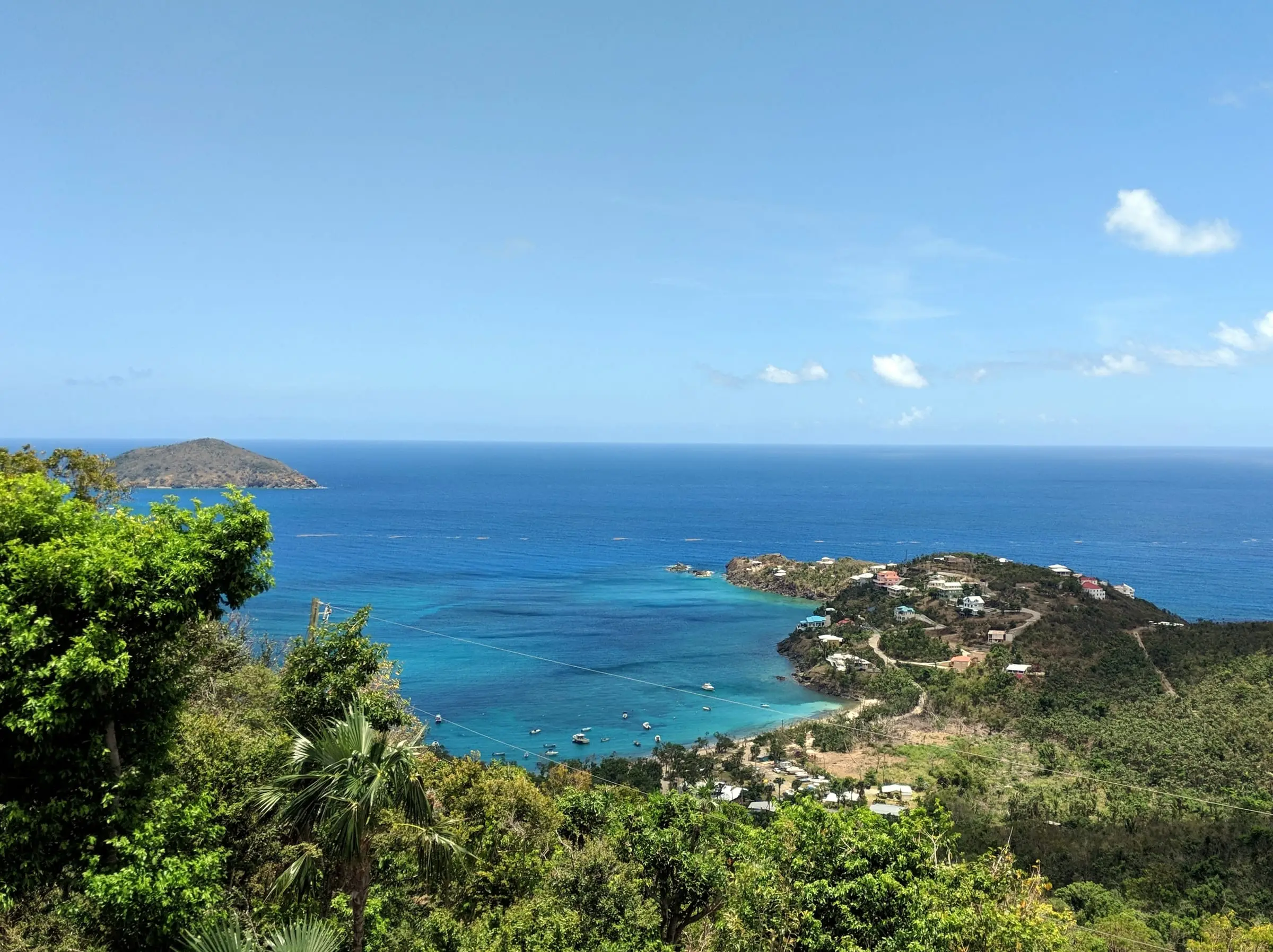
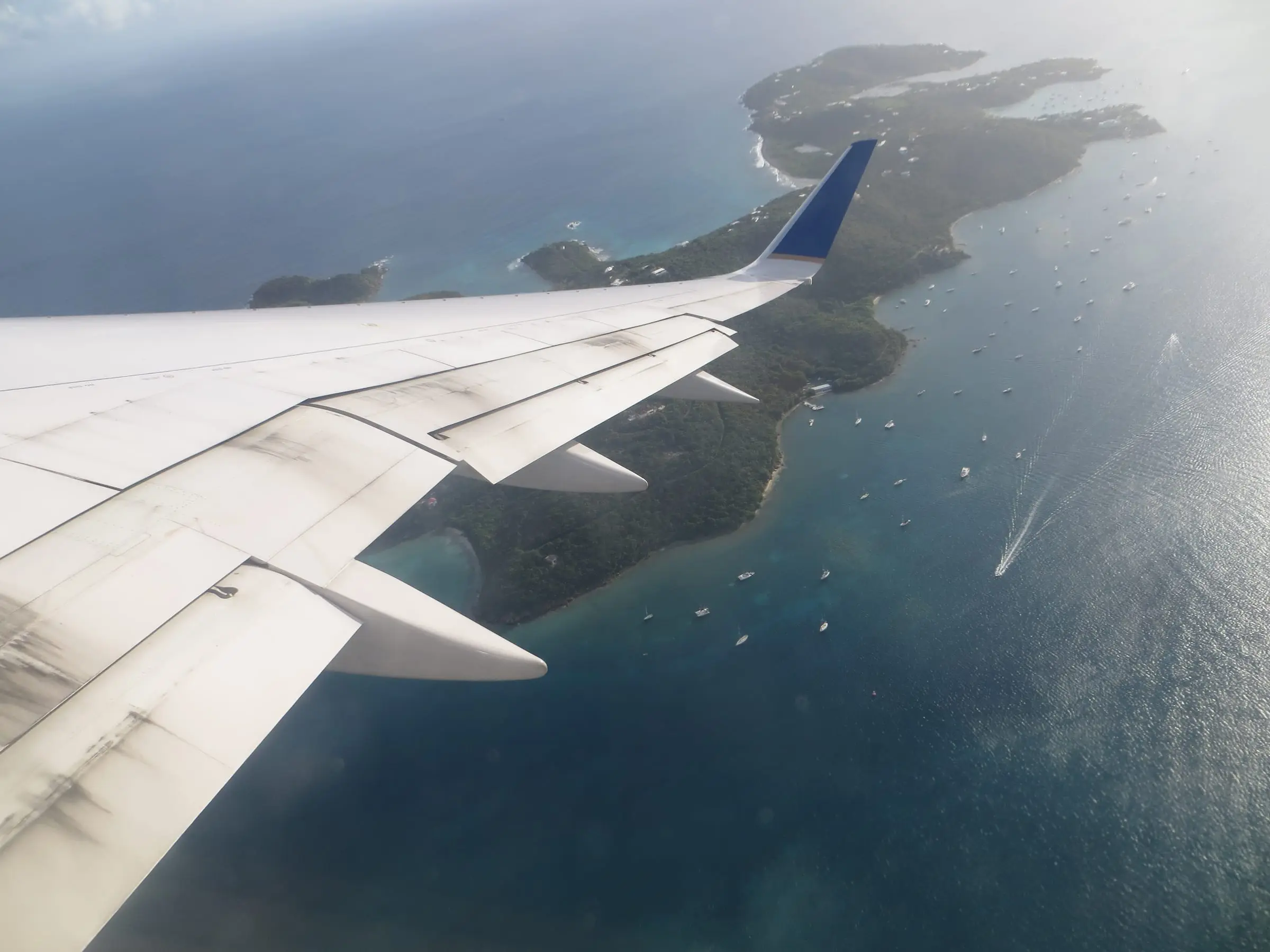
Water Island lies about 1,800 feet off St. Thomas, directly south of Charlotte Amalie, according to the U.S. Army Corps of Engineers. The Corps notes that it is under the administrative jurisdiction of the Government of the Virgin Islands, although some parcels are privately owned.
For statistics, the Census Bureau treats it as one of the seven subdistricts of St. Thomas. The Water Island subdistrict also takes in Hassel Island in St. Thomas Harbor, so its figures cover three estates: Water Island, Eastern Water Island and Hassel Island. Its land area is just under 1 square mile. The National Park Service says 122.5 acres on Hassel Island were added to Virgin Islands National Park in 1978.
Water Island by the numbers
The 2020 Census counted 164 residents in the subdistrict, down 9.9 percent from 182 in 2010, and 189 housing units, down from 203. By estate, Water Island had 84 residents, Eastern Water Island 69 and Hassel Island 11.
It is a community of owners and part-time homes:
- 53.4 percent of housing units were vacant on Census Day, and 43.9 percent of all units were held for seasonal, recreational or occasional use.
- Owners occupied 81.8 percent of occupied homes, against 40.6 percent across St. Thomas.
- 51.3 percent of units were detached single-family homes. The Census also counted 36 units, or 19.0 percent, as boats, RVs, vans or similar.
- More of the homes standing in 2020 were built in the 1980s (67) than in any other decade.
- 44.3 percent of households had no vehicle, against 18.8 percent island-wide.
Estimate as of October 2026. The 2020 Census put the median value of owner-occupied homes in the Water Island subdistrict at $433,333, against $356,977 for St. Thomas. It rests on just 72 owner-occupied homes and is a 2020 figure, not a current price.
A short history
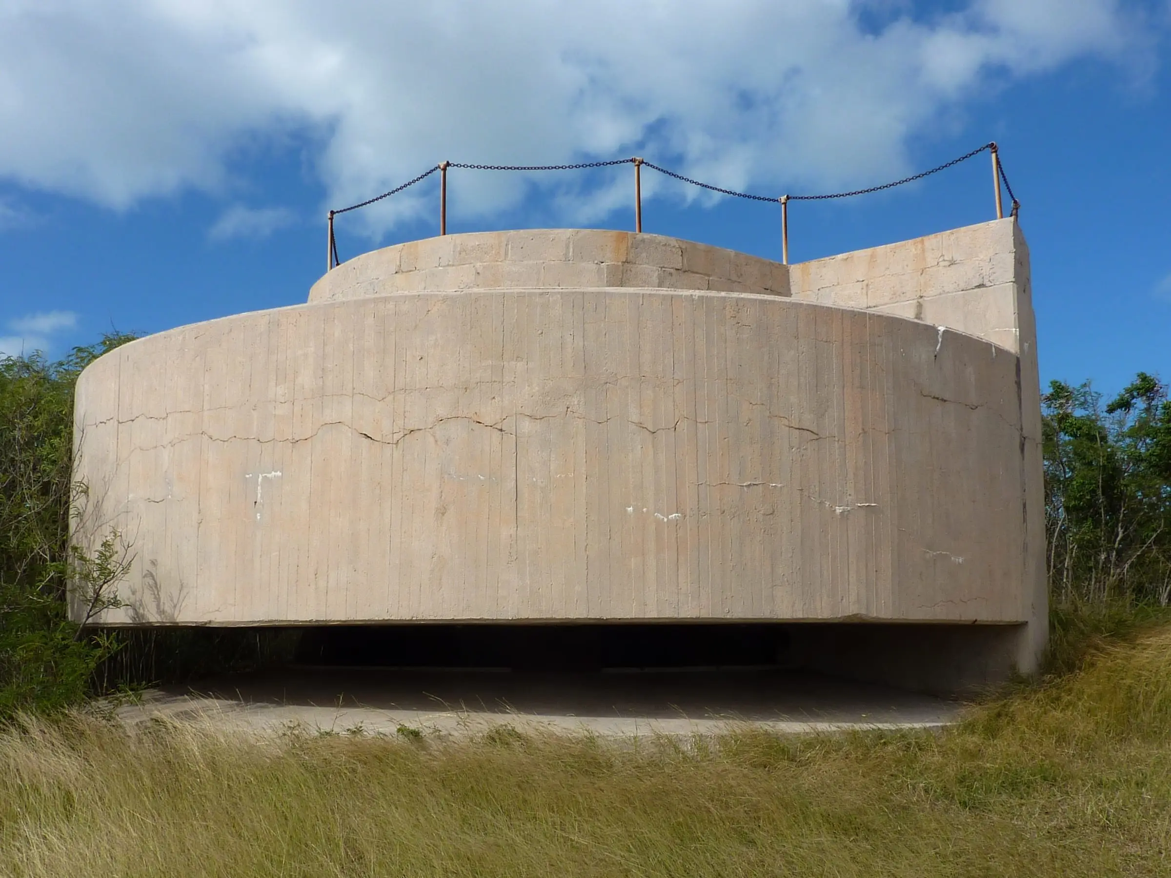
The Corps’ 2021 decision document tells the story. Construction of Fort Segarra began in 1944 on the island’s southern tip, to defend the Roosevelt Roads naval facility on Puerto Rico. The concrete gun positions were finished, but guns were never installed, and the fort was deactivated in 1946. The Army Chemical Corps then used parts of the island from 1948 to 1950 for limited testing and storage of chemical munitions.
In 1952 the military transferred the island to the U.S. Department of the Interior, which leased it to a private party for resort development. The Water Island Hotel operated from 1954 until Hurricane Hugo damaged it in 1989. Interior transferred the island to the Government of the Virgin Islands in 1996, and the hotel was demolished in 1998. Hurricanes Irma and Maria caused widespread damage in September 2017.
How do you get to Water Island?
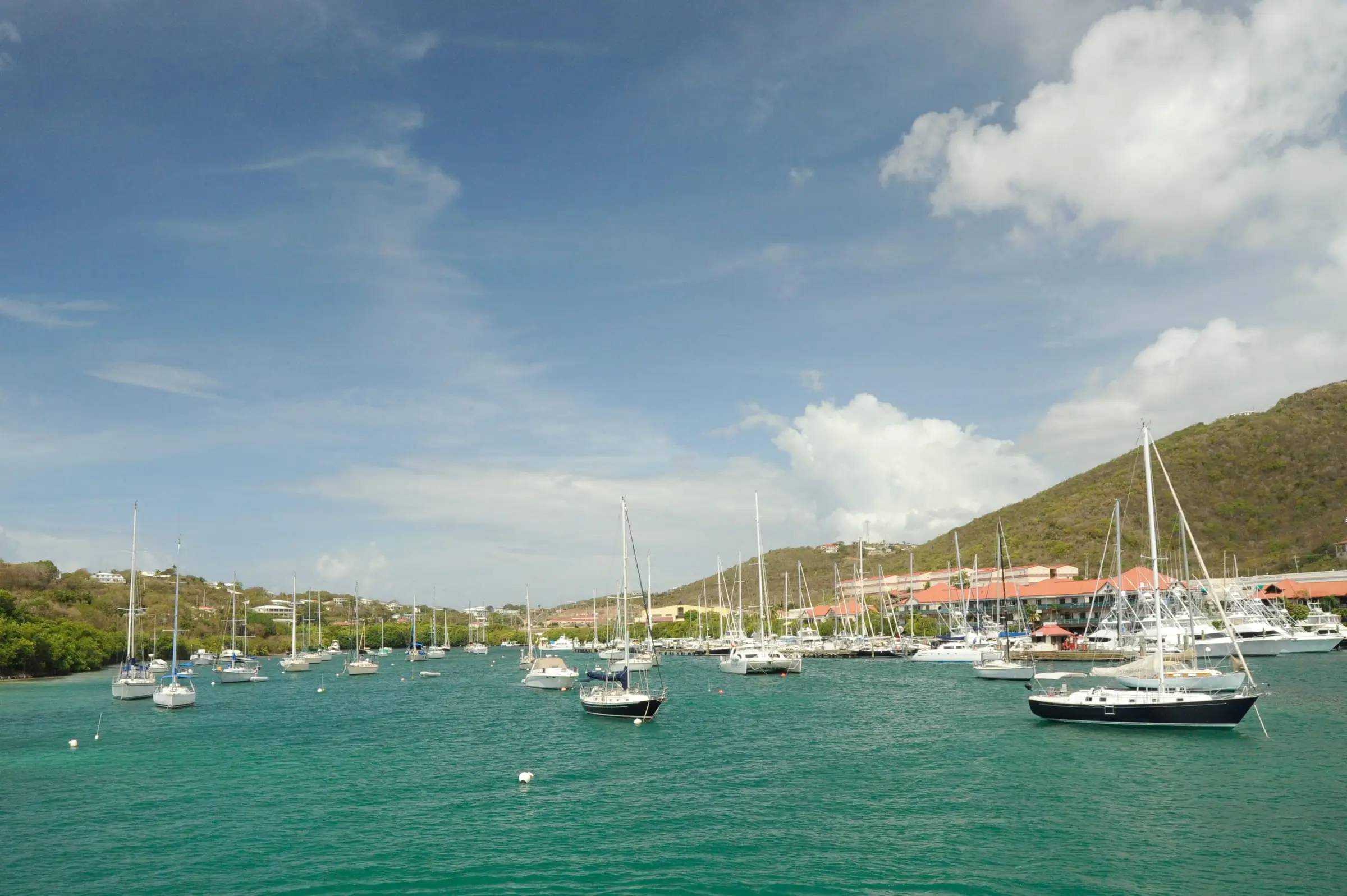
By boat, mainly. The Corps describes a small dock on the west side and a deep-water dock on the south side of Flamingo Bay, plus a helicopter pad on the north side of the bay. Water Island service does not appear on the Virgin Islands Port Authority’s posted ferry schedules, so confirm current boat service, fares and parking on the St. Thomas side before you commit, and plan how you will reach work, school and shops.
Estimate as of October 2026. The territory’s Department of Tourism says the Water Island Ferry leaves Crown Bay Marina on St. Thomas every hour, takes about 10 minutes to Phillips Landing and is paid in cash to the captain, and that the last return trip leaves Water Island at 6:15 p.m. It adds that there are no buses or taxis on the island; visitors rent golf carts.
Water, power and services
The Corps says WAPA supplies electricity from St. Thomas through a power line under East Gregerie Channel. There is no municipal drinking water system: residents collect rainwater in cisterns and can truck water from St. Thomas if a cistern runs dry. Individual homes use septic tanks.
The Census agrees. In 2020, 82.0 percent of housing units reported a cistern, catchment, tanks or drums as a water source, and 76.7 percent a septic tank or cesspool. Only 5.8 percent reported a public sewer. The Corps also mentions a Water Island Fire Department near Flamingo Bay.
Our directories of cistern and water services, solar and generators, marinas and healthcare can help you plan.
What should you check before you buy or rent?
- Land and title. Look up the parcel with the Tax Assessor’s online parcel search, and ask a real estate attorney to confirm who owns the land and on what terms.
- The former defense site. The Corps says the government and private owners use parts of the old defense site for homes and businesses. Its September 2021 decision covered a 17-acre munitions response site in four government-owned areas in the south of the island, found no hazard or risk from munitions or chemical warfare materiel, and selected no action. DPNR concurred. Ask where the parcel sits relative to those areas.
- Water and septic. Ask about cistern size, condition and last cleaning, and have the septic system inspected by a home inspector.
- Access. Ask which dock you will use, where you will keep a boat or car, and how deliveries reach the house.
- Storms and the shore. Check FEMA’s flood maps, ask how the home came through 2017, and check DPNR’s Tier 1 coastal zone map before any work near the water. Our hurricane and flood insurance guide explains cover.
For the wider picture, see our St. Thomas island guide and estate map.