What Charlotte Amalie is
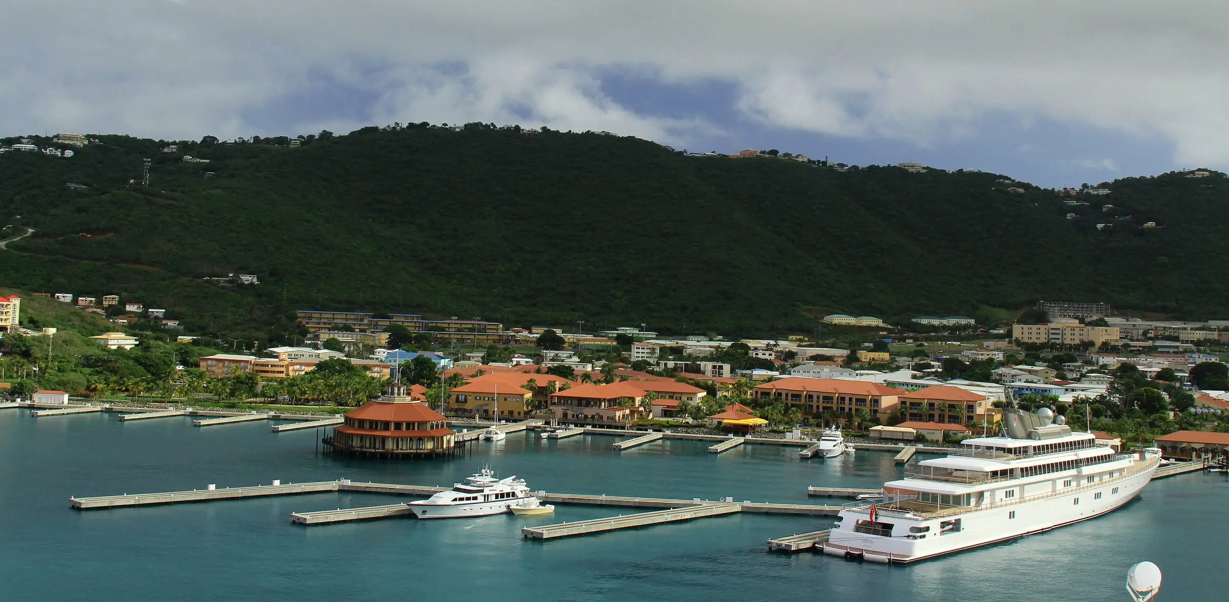
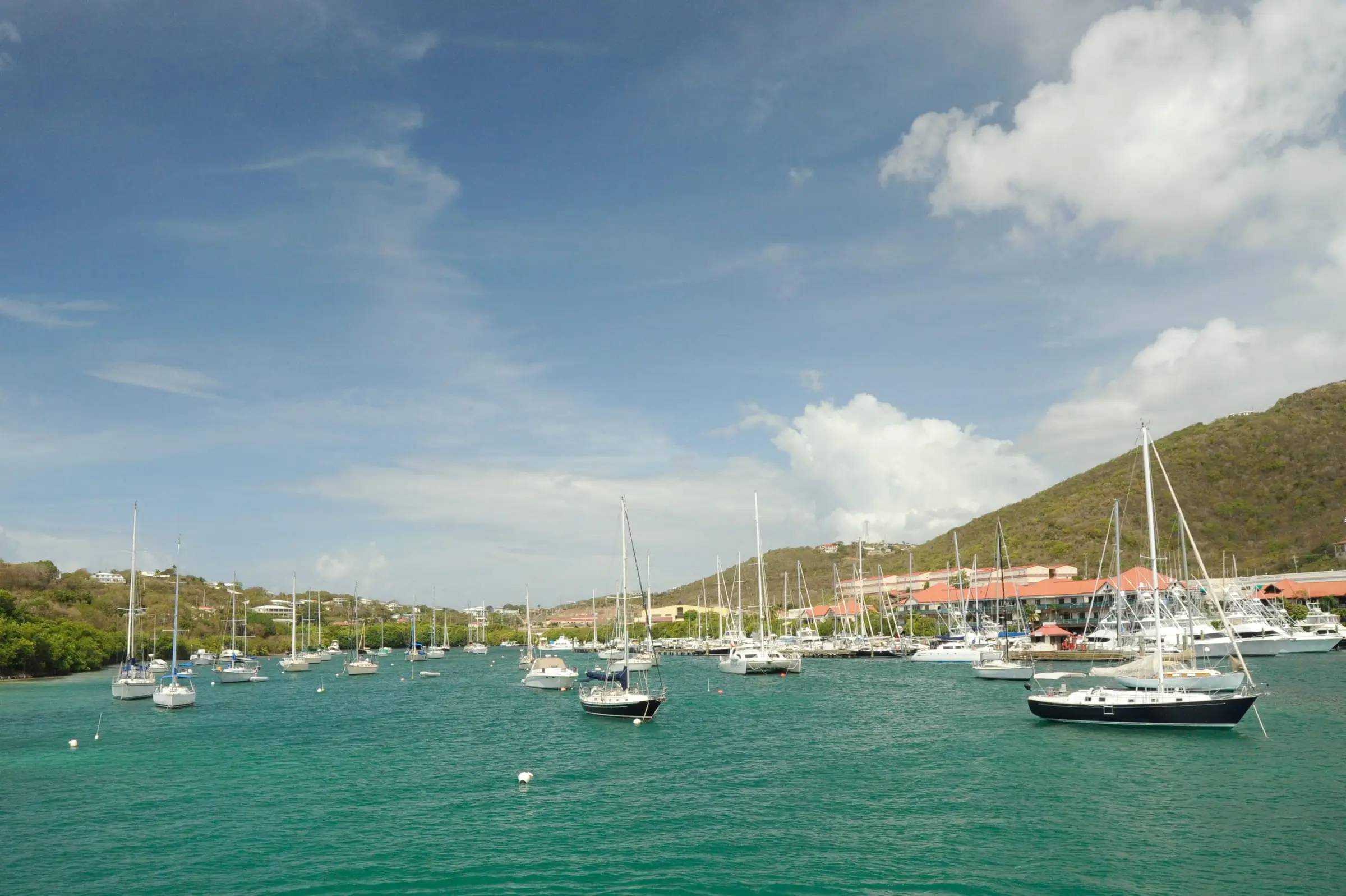
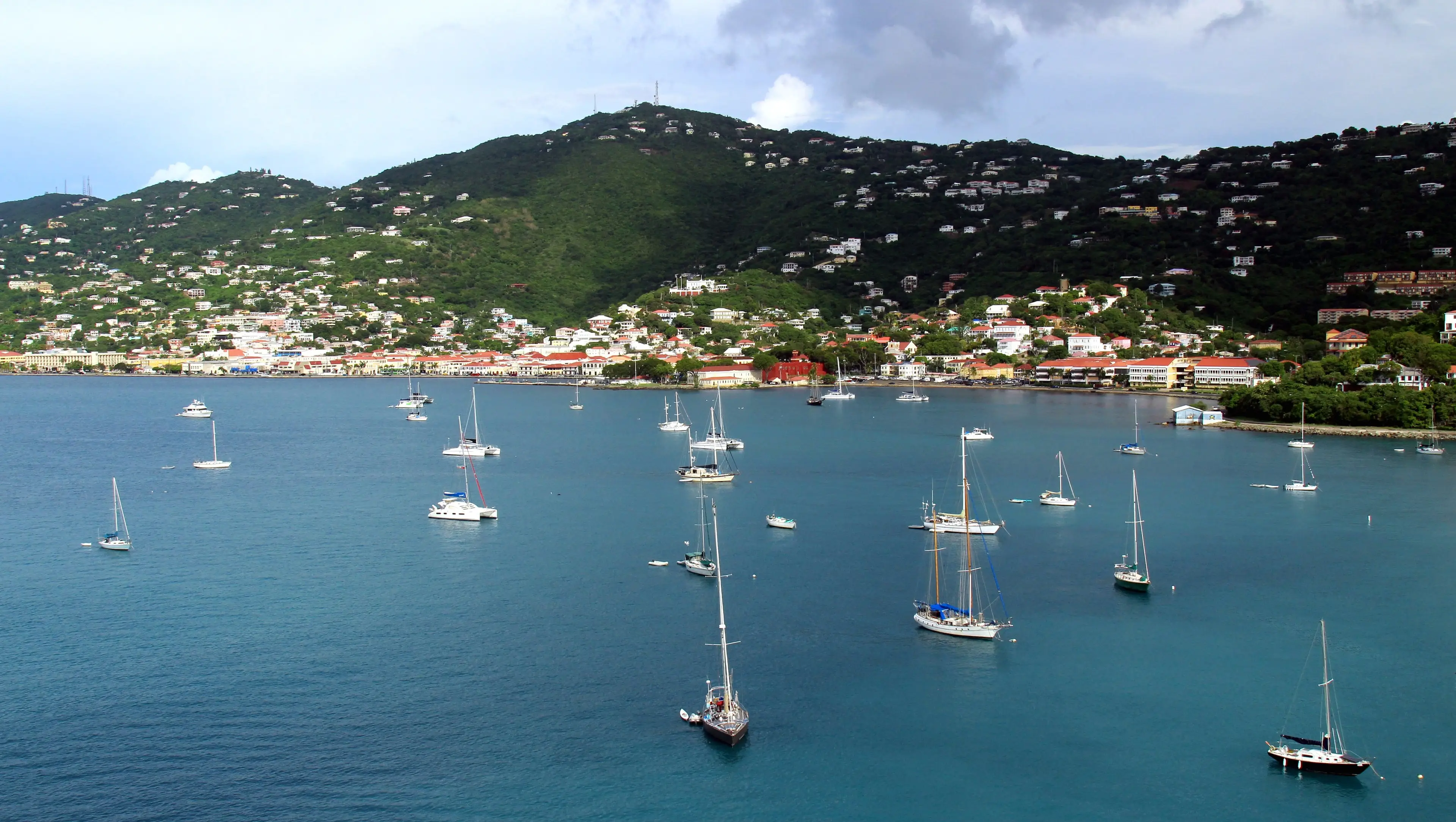
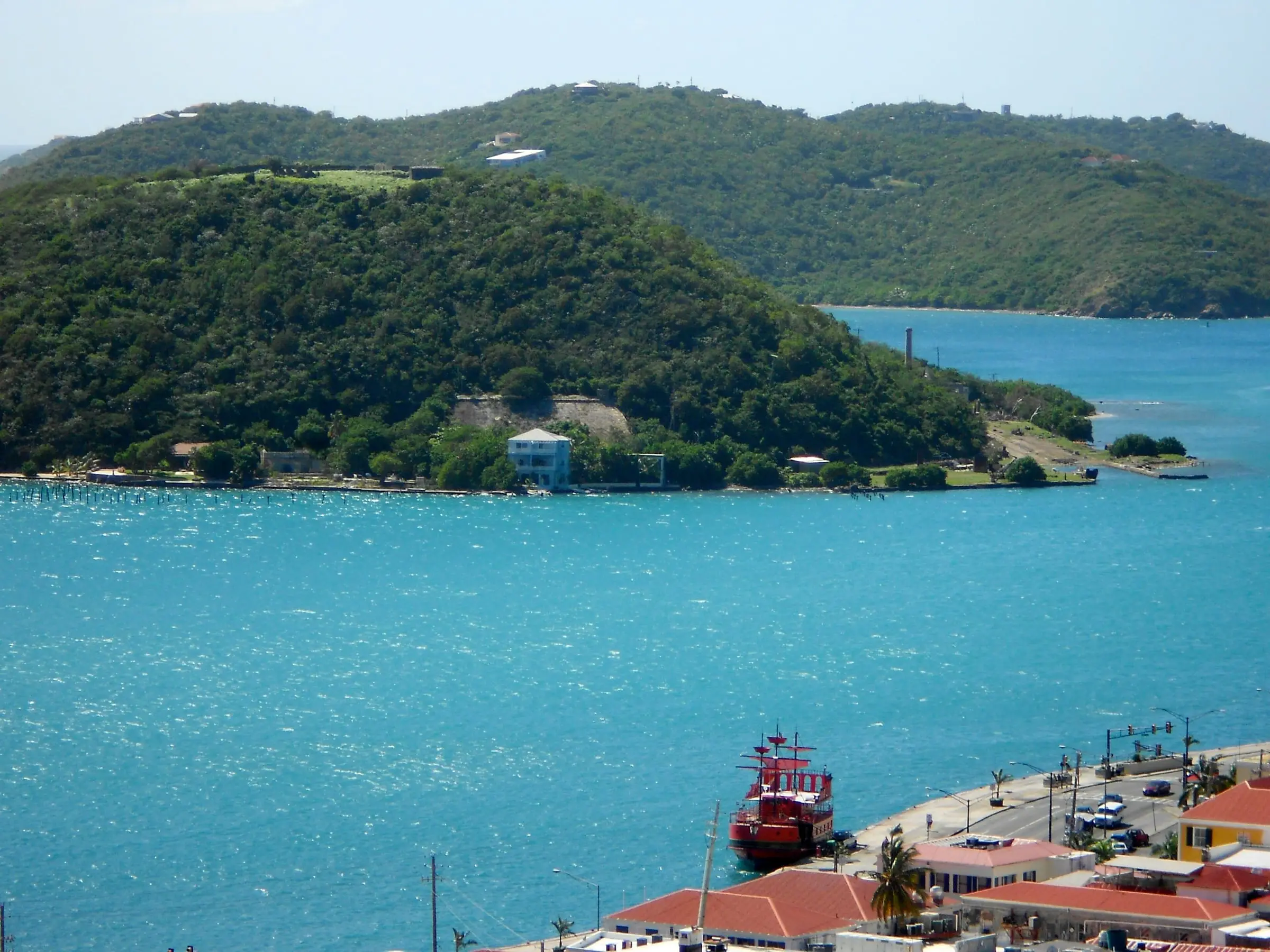
Charlotte Amalie is the capital of the U.S. Virgin Islands. It sits at the head of St. Thomas Harbor, on the island’s south shore, with hills rising behind the waterfront.
The name covers more than one Census area, so check which one a figure describes:
- Charlotte Amalie subdistrict: 14,477 residents and 8,606 housing units in 2020, the largest of St. Thomas’s seven subdistricts by population.
- Charlotte Amalie town: 8,194 residents and 5,177 housing units.
- Charlotte Amalie East and West: two census designated places, with 1,908 and 4,404 residents. Towns and these places can cross subdistrict lines.
Estimate as of October 2026. 2020 Census counts from the U.S. Census Bureau. The subdistrict’s population fell 21.7 percent from 2010, and its housing units fell 7.9 percent.
Property records use estate names. In Census boundary data, estates in the subdistrict include Estate Thomas, Estate Contant 7A, Estate Altona and Welgunst, Estate Hospital Ground, Estate Lindbergh Bay and the Kings, Queens and Kronprinsens Quarter estates. See them on our estate map.
History in brief
The town’s 1976 nomination to the National Register of Historic Places tells the story. Construction of Fort Christian began around 1666, and the fort was completed by 1680. The first permanent Danish settlement came in 1672, and St. Thomas soon became one of the leading slave trading centers in the West Indies. The harborside settlement was known as “Tap Hus” until 1691, when it was declared a town and named Charlotte Amalie in honor of the Queen of Denmark.
St. Thomas was declared a free port in 1764, and the town grew into one of the most important trading centers in the West Indies. Fires between 1804 and 1832 destroyed much of the town, and an 1832 building code banned frame construction in the commercial area. That is why most buildings in the historic district date from the 19th century, and why the old commercial blocks are masonry. Emancipation Park was named for the emancipation of enslaved people on July 3, 1848.
The United States bought the islands on March 31, 1917, still marked each year as Transfer Day, according to the National Park Service. After World War II, many old warehouses became shops for visitors. The Charlotte Amalie Historic District is listed on the National Register.
Living in and around town
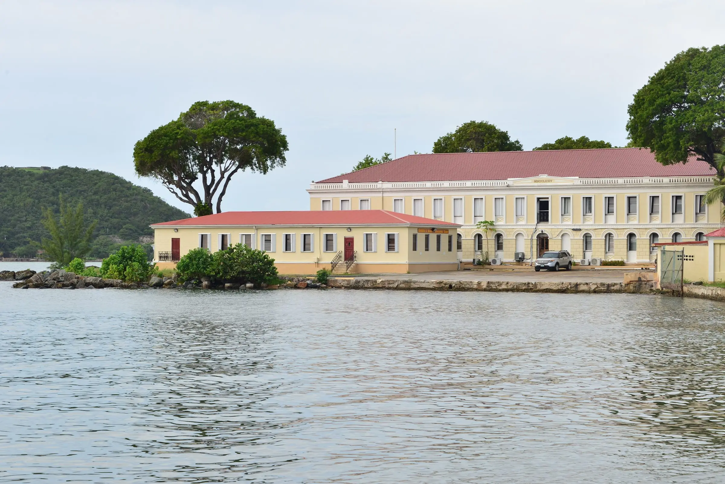
Downtown streets carry Danish names. The nomination identifies Dronningens Gade as the main street, and the territorial government’s website lists its St. Thomas office at 5047 (21-22) Kongens Gade, the lot the nomination gives for Government House. The nomination also notes the long flights of steps that climb the hills.
The Virgin Islands Port Authority (VIPA) says the Charlotte Amalie Waterfront has 3,200 feet of bulkhead running parallel to the shopping district, with room for yachts, mini-cruise ships and cruise ship tenders. From the Edward Wilmoth Blyden IV Marine Terminal downtown, passenger ferries run to Cruz Bay on St. John and to the British Virgin Islands, and a ferry to St. Croix runs Thursday through Monday. Cruise ships dock at the Austin “Babe” Monsanto Marine Terminal in Crown Bay, west of the harbor, or at the WICO dock.
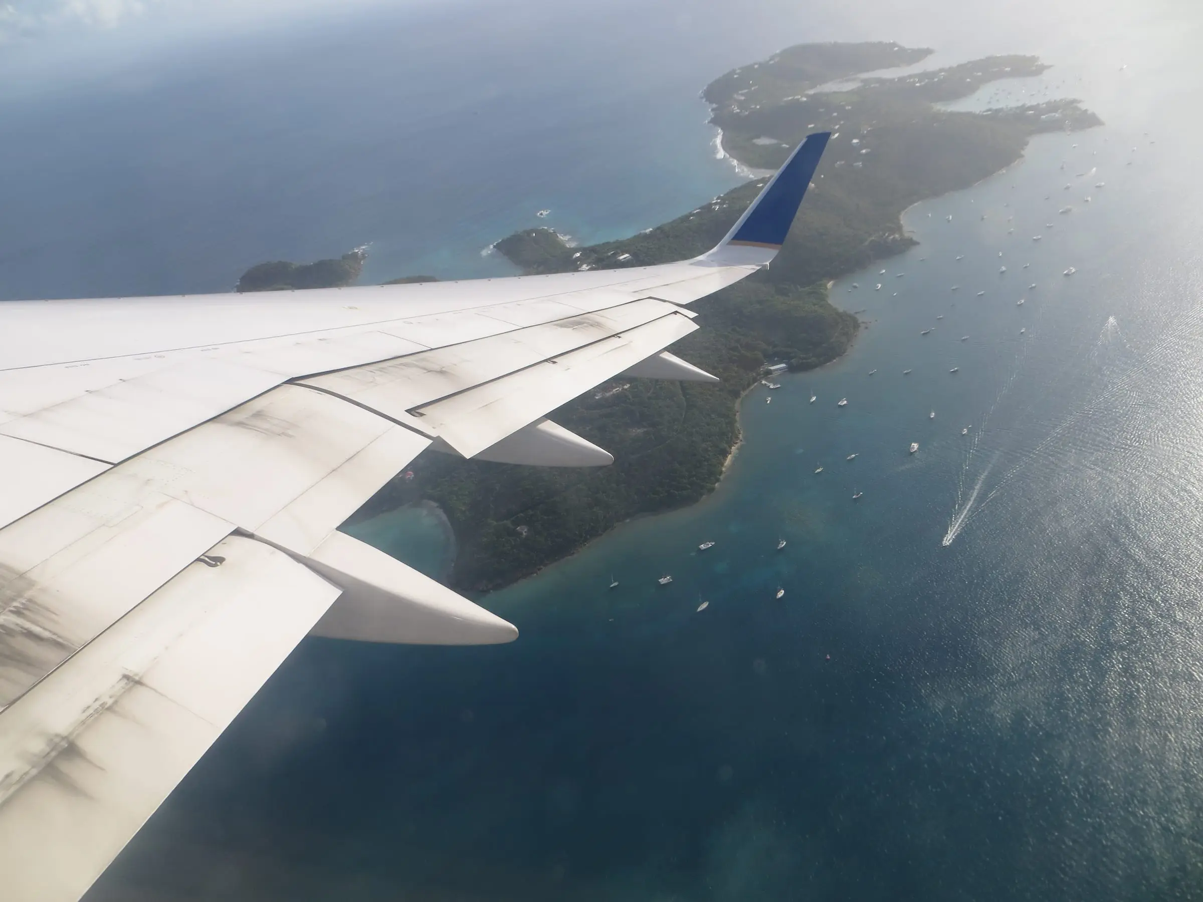
Cyril E. King Airport is about two miles west of town. For buses, taxis and ferry schedules, see our St. Thomas island guide.
Housing you will find
Expect a mix of older buildings in and near the historic district and homes on the surrounding hills and in nearby estates. In the 1976 nomination, the commercial core was almost entirely retail and office space, with residential neighborhoods such as the Savanne, laid out in 1764 and 1765, to the west, and New Town, northeast of Fort Christian.
Owning in the historic district comes with rules. The Historic Districts Guide quotes territorial law: until the Virgin Islands Historic Preservation Commission acts on the plans, no building or structure, “including stone walls, fences, paving and steps,” may be erected, altered, restored, moved or demolished in a historic and architectural control district. The guide tells owners that painting, signs, additions and renovations need a permit, and it says vinyl and aluminum siding are not permitted on historic structures.
What to research before you commit
- Location: Confirm the estate and parcel with the Tax Assessor’s parcel search, and whether the property is inside the historic and architectural control district.
- Approvals: Ask DPNR’s State Historic Preservation Office what the St. Thomas and St. John Historic Preservation Committee must approve before you change anything outside.
- Storm and flood exposure: The National Hurricane Center reports that Hurricane Irma in 2017 likely caused significant storm surge on St. Thomas, and that the Charlotte Amalie tide gauge went offline during the storm. Ask about flood zones and insurance for harbor-front property.
- Parking and access: Ask where you will park. VIPA’s metered lot at the Blyden terminal, for example, does not allow overnight parking.
- Building condition: Older masonry buildings need an inspector who knows them.
Our Buying a Condo in St. Thomas guide covers association documents, and our Living in St. Thomas guide covers daily life. Directories of home inspectors and real estate attorneys can help you find licensed help.