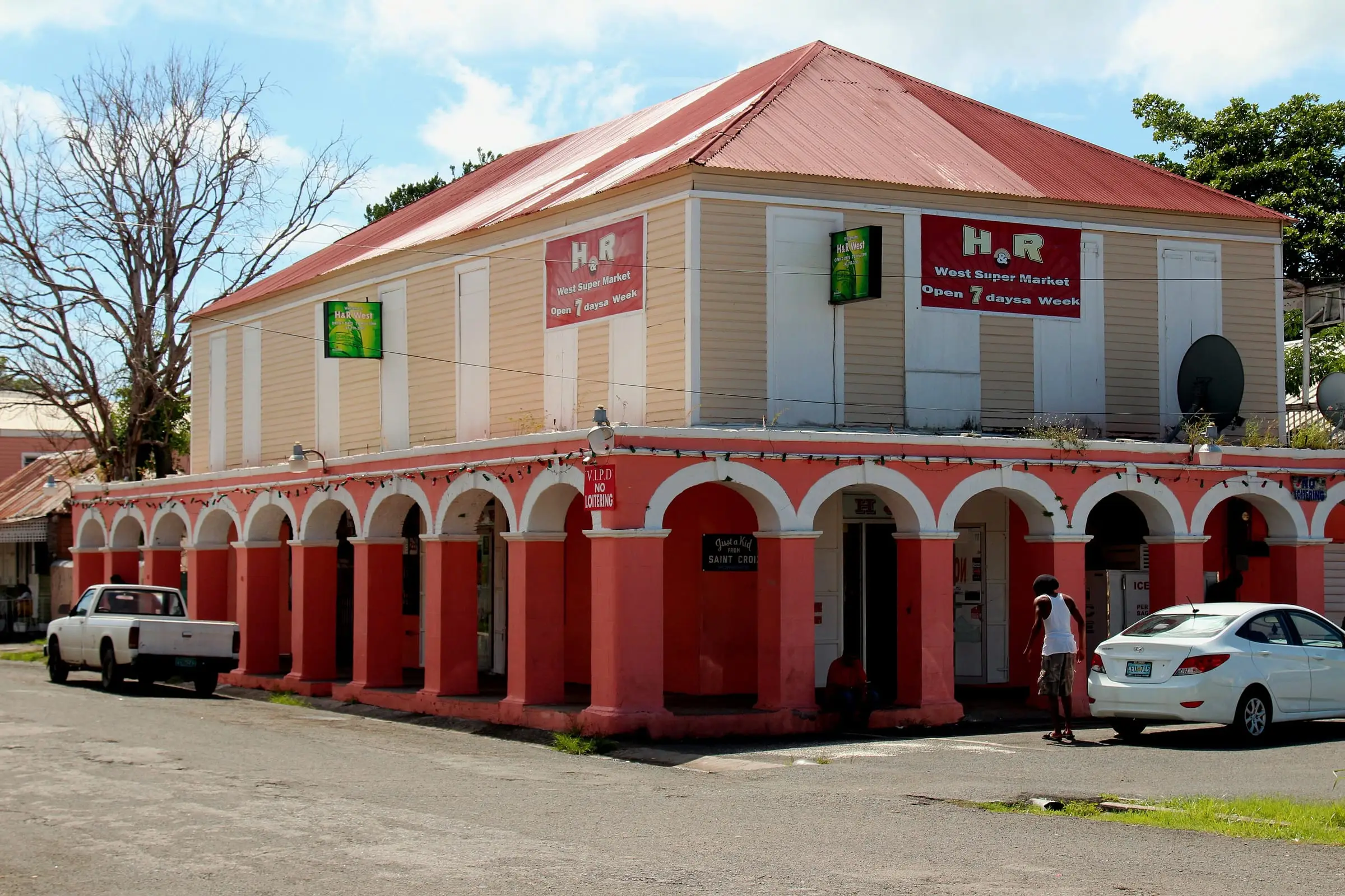
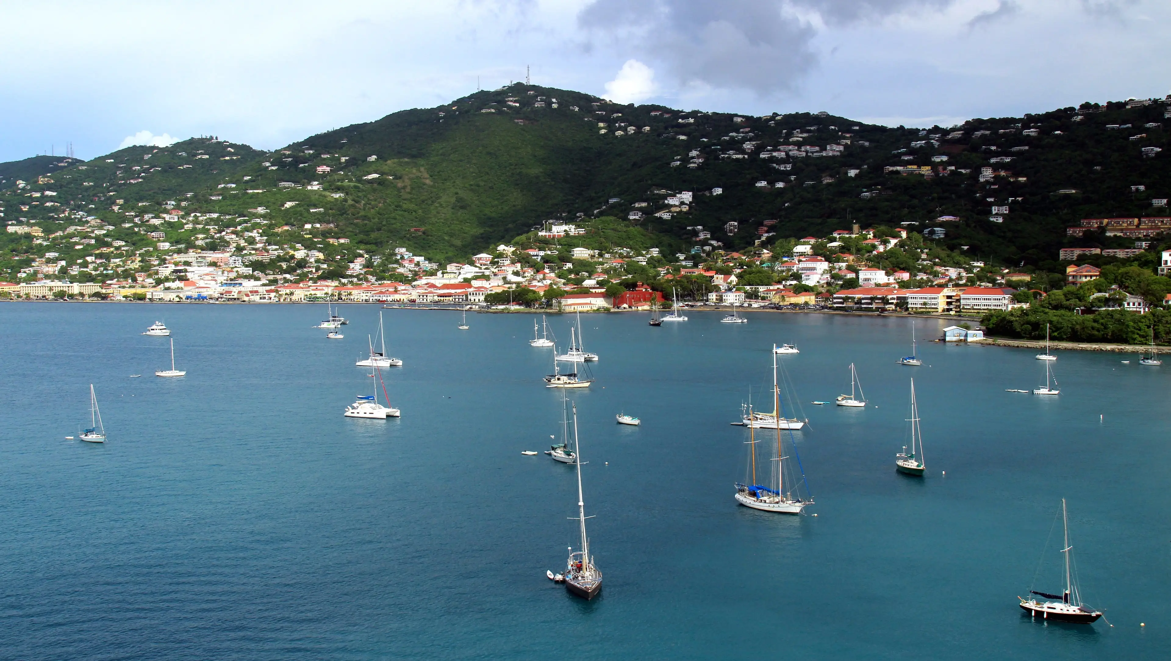
Living in St. Croix
What daily life on St. Croix involves, from where people live and what homes rent for to cisterns, hurricane season, getting around and local services.
Moving, St. CroixBy USVI Realty Editorial TeamUpdated October 28, 20266 minute read
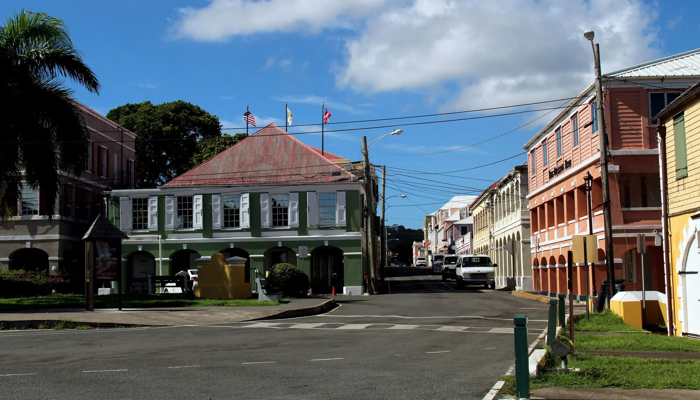
St. Croix is the largest of the U.S. Virgin Islands by land area and, with 41,004 residents in the 2020 Census, the second most populous after St. Thomas. This guide covers the practical side of living there, with a source for each fact. It is general information, not advice for your situation.
St. Croix at a glance
- Size. About 83 square miles of land, about 40 miles south of St. Thomas.
- People. 41,004 residents in 2020, down 19 percent from 50,601 in 2010.
- Towns. Christiansted (1,770 residents in 2020) and Frederiksted (528).
- Homes. 25,470 housing units in 2020.
- History. Denmark bought St. Croix from France in 1733 and transferred the islands to the United States in 1917.
Where people live
Most people on St. Croix live outside its two towns: about 94 percent in 2020. The Census Bureau divides the island into nine subdistricts. Sion Farm was the most populous in 2020, with 10,332 residents, followed by Southcentral (7,415) and Southwest (5,842). Northwest covered the most land, about 18 square miles, with 3,431 residents.
Day to day, people describe locations by estate. St. Croix has 231 estates in the 2020 Census tables, and Census Bureau metadata notes that estate names and boundaries are in common use by residents and in government. Their boundaries are primarily those of the plantations that existed at the 1917 transfer. Explore them on our estates map.
For a closer look at the towns, read our guides to Christiansted and Frederiksted, or start with the St. Croix island guide.
Renting and owning
Estimate as of October 2026. In the 2020 Census, 56 percent of St. Croix’s occupied homes were owner-occupied and 44 percent were rented. The median gross rent was $822 a month, and the rental vacancy rate was 18.9 percent. Owners put the median value of their homes at $247,090. About 73 percent of owner-occupied homes had no mortgage, and median monthly owner costs were $1,461 with a mortgage and $309 without.
A few notes on those figures:
- Gross rent is contract rent plus utilities and fuels the renter pays.
- Value is the owner’s own estimate of what the property would sell for, not a sale price.
- Owner costs include mortgage payments, real estate taxes, insurance, utilities, fuels and any condominium fee.
These figures are from 2020. Ask property managers and licensed real estate agents what similar homes rent or sell for now. Renting first is one way to learn the island, test your commute and see a home’s water and power bills before you buy. Our renting resources list questions to ask.
Water, power and other utilities
The Virgin Islands Water and Power Authority (WAPA), created by the Legislature in 1964, produces and distributes electricity and drinking water for the territory. Drinking water comes from seawater reverse osmosis plants run under long-term agreements with Seven Seas Water Corporation. WAPA distributes it to almost 13,000 customers territory-wide through water lines and standpipes.
Many homes do not rely on the public system alone.
Estimate as of October 2026. In the 2020 Census, about 70 percent of St. Croix housing units reported a cistern, catchment, tanks or drums as a water source, and about 42 percent reported a public system (households could report more than one). About 59 percent used a septic tank or cesspool. In the towns, public service was more common: about 73 percent of Christiansted units and 80 percent of Frederiksted units reported a public water system.
Water can be interrupted. In August and September 2026, WAPA posted updates about drought-related water interruptions, a temporary suspension of St. Croix water production after a wastewater overflow, and the lifting of a St. Croix boil-water advisory. WAPA’s website has an outage map and an alerts sign-up.
On electric bills, WAPA lists a base rate plus surcharges, and a fuel surcharge (the LEAC) that covers fuel costs it describes as “highly susceptible to market fluctuations.” Before you sign a lease or make an offer, ask for a year of WAPA bills.
Hurricane season
The Atlantic hurricane season runs from June 1 to November 30, according to NOAA’s National Hurricane Center. Its peak is around September 10, and most activity falls between mid-August and mid-October.
St. Croix has seen serious storms. In September 2017, Hurricane Maria reached its peak strength while centered about 25 nautical miles south of St. Croix. NOAA found that St. Croix was the most severely affected of the U.S. Virgin Islands, with wind damage across the whole island, roof damage, the complete destruction of many wooden houses, and flooding and mudslides from heavy rain. Earlier, the Port Authority says, Hurricane Hugo in 1989 and Hurricane Marilyn in 1995 damaged the Frederiksted pier.
When you look at homes, ask how each one is protected: the roof, shutters, water storage and any backup power. Insurance can shape your budget too, so read the insurance section of our St. Croix buyer’s guide before you commit.
Getting around
- Driving. Traffic keeps to the left in the Virgin Islands. The Park Service advises extra attention at turns, when pulling into traffic and when crossing the road.
- Buses. VITRAN, run by the Department of Public Works, has routes between Christiansted and Frederiksted, from La Reine Terminal to Tide Village, and from Sunshine Mall to La Reine Terminal.
- Taxis and rentals. Taxi vans serve downtown Christiansted, and rental cars are available at the airport.
- Flights. Henry E. Rohlsen Airport (STX), about six miles southwest of Christiansted, is served by major domestic carriers and has daily inter-island flights.
- Seaplane and boats. A seaplane terminal in Water Gut, Christiansted, has daily service to downtown Charlotte Amalie. The Gallows Bay Marine Facility serves ferries, small cargo vessels and yachts.
- Travel documents. U.S. Customs and Border Protection says U.S. citizens traveling directly between a U.S. territory and the mainland do not need to present a passport.
Health care, schools and services
- Hospital. Gov. Juan F. Luis Hospital and Medical Center is at 4007 Estate Diamond Ruby, with a Christiansted address.
- Public schools. The Virgin Islands Department of Education’s St. Croix District office is at 2133 Hospital Street, Christiansted. The department posts school registration information and a St. Croix redistricting map showing which school serves each residential area.
- University. The University of the Virgin Islands, founded in 1962, is a public, land-grant HBCU. Its Albert A. Sheen Campus is in Kingshill.
- Government offices. The Office of the Lieutenant Governor’s St. Croix office, at 1131 King Street in Christiansted, houses the Recorder of Deeds and the Tax Collector. DPNR’s Division of Permits is at 45 Estate Mars Hill in Frederiksted.
Outdoors and history
- Christiansted National Historic Site, established in 1952, was the first National Park Service unit in the Virgin Islands.
- Buck Island Reef National Monument offers an underwater snorkeling trail and hiking on a 176-acre island. It is reached only by boat, from downtown Christiansted or Green Cay Marina.
- Salt River Bay National Historical Park and Ecological Preserve, about five miles from the historic site, protects what the Park Service calls one of the most important archaeological sites in the Virgin Islands, along with mangroves and beaches.
- Sandy Point National Wildlife Refuge, near Frederiksted, provides nesting habitat for leatherback sea turtles. Its beach is closed from roughly mid-April to August each year.
- Fort Frederik Museum, run by DPNR, is open on weekdays in Frederiksted.
Before you move
- Rent first if you can, and ask how the home gets water and what recent WAPA bills have been.
- Ask how the home is protected in storms, and get insurance quotes before you commit to buying.
- Map your daily trips: VITRAN routes, a car, or both. Remember that traffic keeps to the left.
- If you have children, check the Department of Education’s St. Croix redistricting map for your address.
- Note where the hospital and the government offices you will use are, relative to where you plan to live.
- Read our St. Croix buyer’s guide and compare islands in St. Thomas vs. St. Croix.
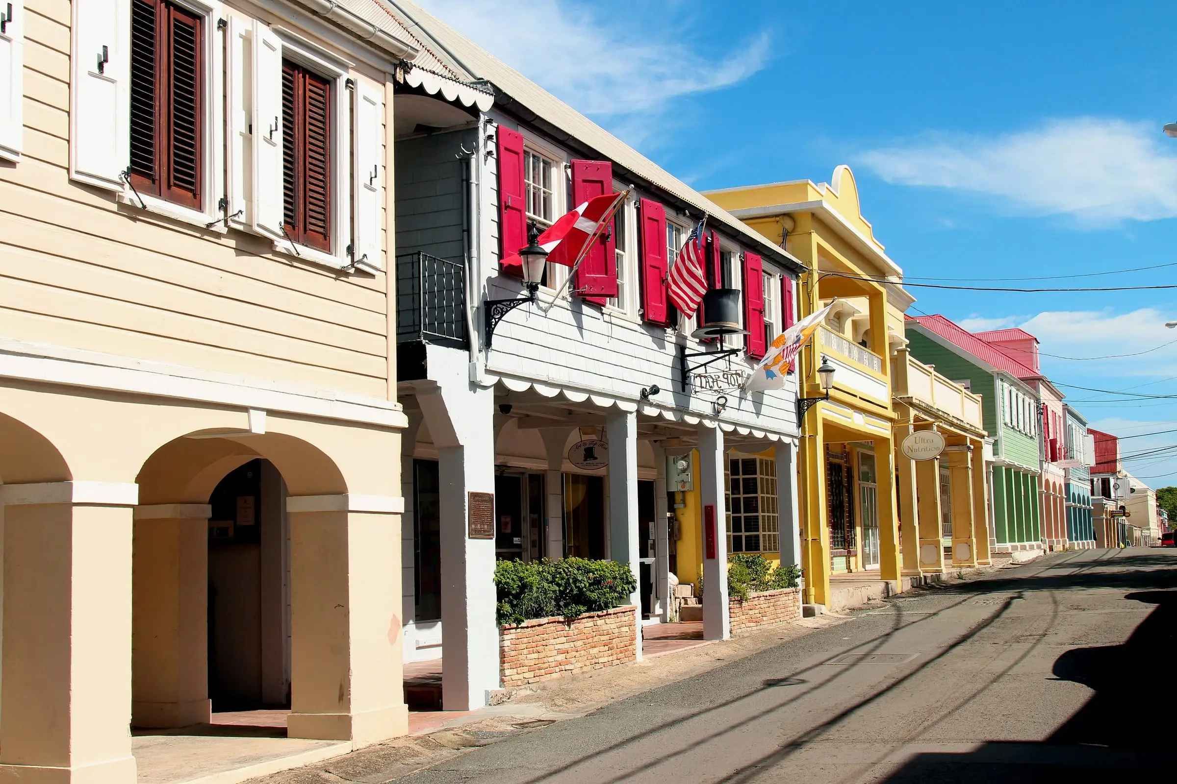
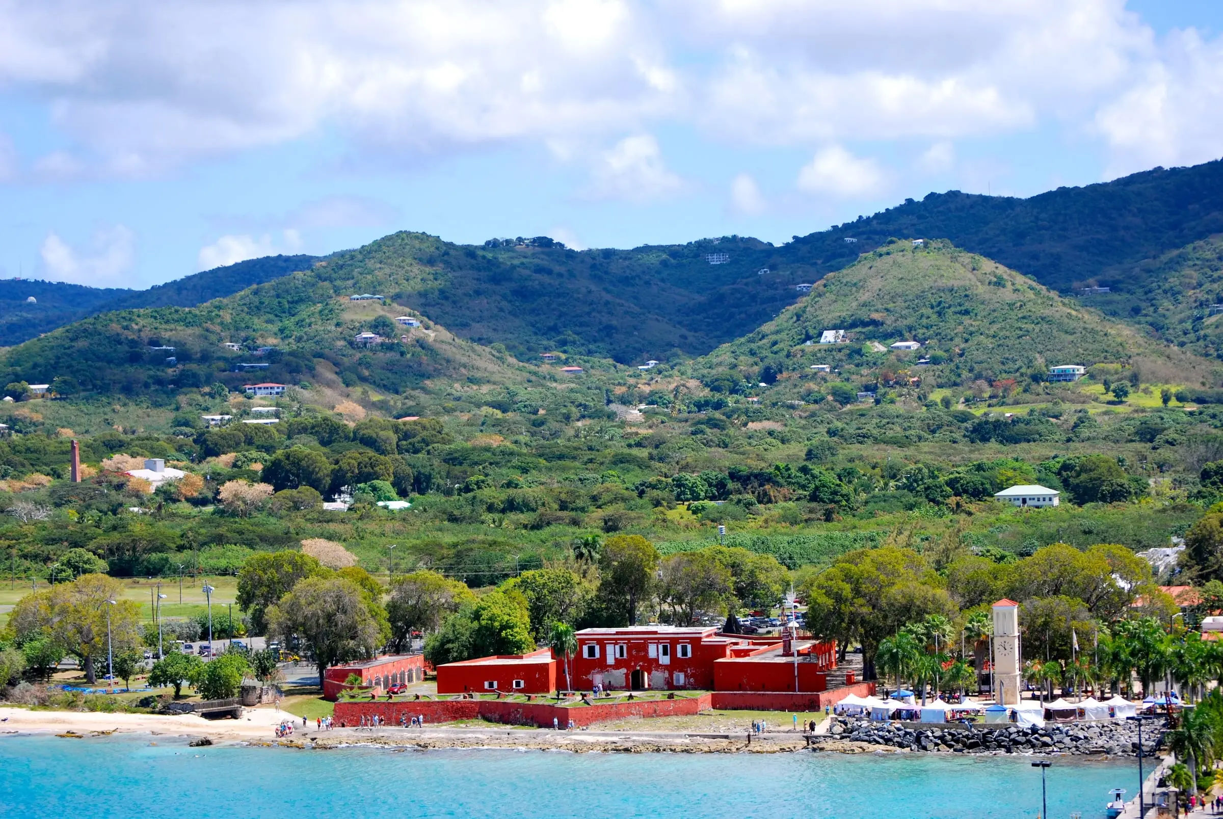
Photo: Matt H. Wade, CC BY-SA 3.0
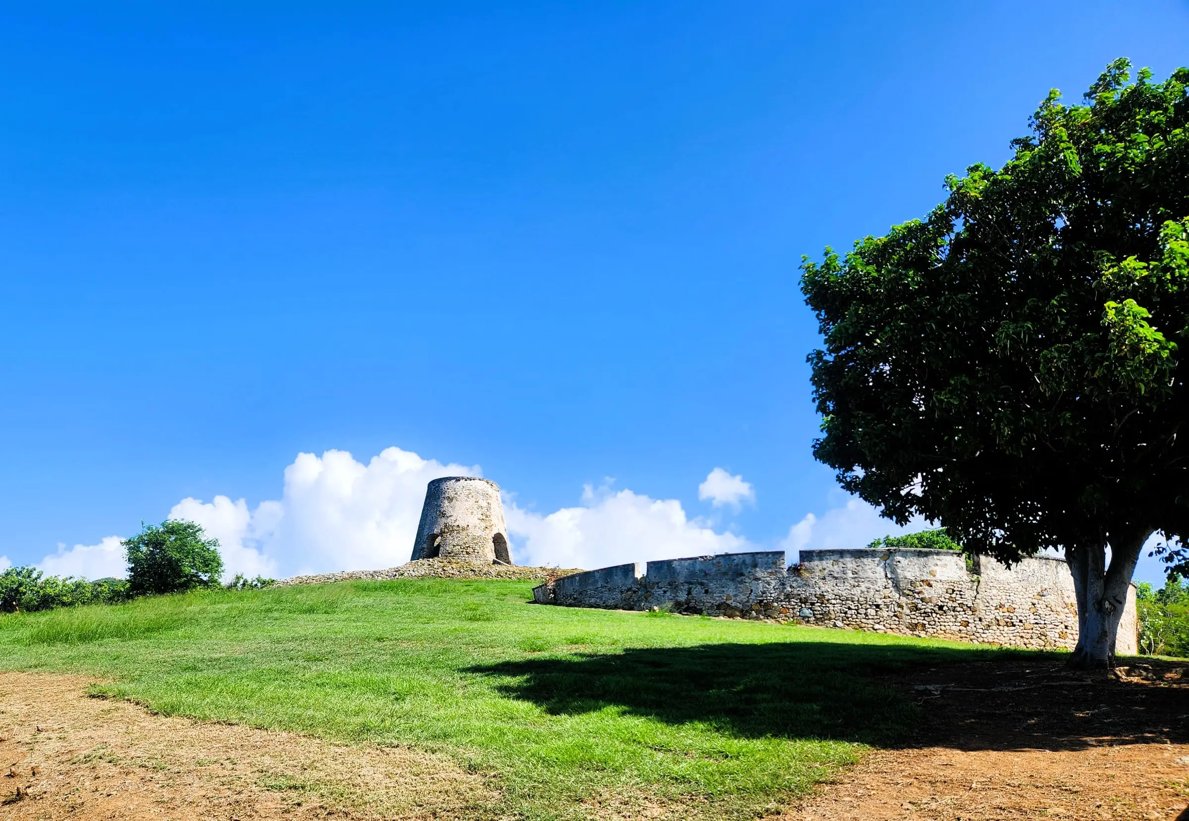
Photo: CaptJayRuffins, CC BY-SA 4.0
Questions
Is St. Croix bigger than St. Thomas?
By land, yes. Census Bureau data puts St. Croix at about 83 square miles of land, compared with about 31 on St. Thomas. St. Thomas had slightly more residents in 2020: 42,261, compared with 41,004 on St. Croix.
Do I need a car on St. Croix?
That depends on where you live and work. The Department of Public Works runs VITRAN bus routes, including service between Christiansted and Frederiksted, so compare its routes and schedules with your daily trips. If you drive, remember that traffic keeps to the left in the Virgin Islands.
Where does household water come from on St. Croix?
WAPA produces drinking water through seawater reverse osmosis and distributes it through water lines and standpipes, and many homes also collect rainwater in cisterns. In September 2026, WAPA's website posted an update that a St. Croix boil-water advisory had been lifted, so check its site for current notices.
Can USVI Realty help me find housing on St. Croix?
No. USVI Realty is an educational resource, not a real estate brokerage. We do not list, rent or sell property, and we do not represent anyone. Our guides explain what to research so you can work with licensed professionals.
Sources
- 2020 Island Areas Censuses: U.S. Virgin Islands, U.S. Census Bureau (accessed October 28, 2026)
- Table 1. Population of the United States Virgin Islands: 2010 and 2020, U.S. Census Bureau (accessed October 28, 2026)
- Table 2. 2020 Census Population of the United States Virgin Islands: Estate, U.S. Census Bureau (accessed October 28, 2026)
- Table 3. Housing Unit Counts of the United States Virgin Islands: 2010 and 2020, U.S. Census Bureau (accessed October 28, 2026)
- 2020 Island Areas Censuses: U.S. Virgin Islands Demographic Profile Summary File, U.S. Census Bureau (accessed October 28, 2026). Land areas from the geographic header file. Tenure, vacancy, source of water, sewage disposal, value, owner costs and gross rent from tables vi93 to vi120.
- 2020 Island Areas Censuses Demographic Profile Summary File: Technical Documentation, U.S. Census Bureau (accessed October 28, 2026). Definitions of value, selected monthly owner costs, gross rent and source of water.
- TIGER/Line Shapefiles: Estate series metadata, U.S. Census Bureau (accessed October 28, 2026)
- Christiansted National Historic Site, National Park Service (accessed October 28, 2026)
- The Port of Christiansted, National Park Service (accessed October 28, 2026)
- Christiansted National Historic Site: Basic Information, National Park Service (accessed October 28, 2026)
- Buck Island Reef National Monument, National Park Service (accessed October 28, 2026)
- Buck Island Reef National Monument: Directions, National Park Service (accessed October 28, 2026)
- Salt River Bay National Historical Park and Ecological Preserve, National Park Service (accessed October 28, 2026)
- Salt River Bay National Historical Park and Ecological Preserve: Directions, National Park Service (accessed October 28, 2026)
- Virgin Islands National Park: Basic Information, National Park Service (accessed October 28, 2026). Source for driving on the left in the Virgin Islands.
- Sandy Point National Wildlife Refuge, U.S. Fish and Wildlife Service (accessed October 28, 2026)
- Sandy Point National Wildlife Refuge: Visit Us, U.S. Fish and Wildlife Service (accessed October 28, 2026)
- Libraries, Archives and Museums, Virgin Islands Department of Planning and Natural Resources (accessed October 28, 2026)
- Division of Permits, Virgin Islands Department of Planning and Natural Resources (accessed October 28, 2026)
- Virgin Islands Water and Power Authority, Virgin Islands Water and Power Authority (accessed October 28, 2026)
- About Us, Virgin Islands Water and Power Authority (accessed October 28, 2026)
- St. Croix Water, Virgin Islands Water and Power Authority (accessed October 28, 2026)
- Electric Rate, Virgin Islands Water and Power Authority (accessed October 28, 2026)
- Tropical Cyclone Climatology, NOAA National Hurricane Center (accessed October 28, 2026)
- Tropical Cyclone Report: Hurricane Maria (AL152017), NOAA National Hurricane Center (accessed October 28, 2026)
- Ann E. Abramson Marine Facility, Virgin Islands Port Authority (accessed October 28, 2026)
- Henry E. Rohlsen Airport, St. Croix, Virgin Islands Port Authority (accessed October 28, 2026)
- Svend Aage Ovesen Jr. Seaplane Terminal, Virgin Islands Port Authority (accessed October 28, 2026)
- Gallows Bay Marine Facility, Virgin Islands Port Authority (accessed October 28, 2026)
- VITRAN Routes, Virgin Islands Department of Public Works (accessed October 28, 2026)
- Western Hemisphere Travel Initiative: Frequently Asked Questions, U.S. Customs and Border Protection (accessed October 28, 2026)
- Gov. Juan F. Luis Hospital and Medical Center, Gov. Juan F. Luis Hospital and Medical Center (accessed October 28, 2026)
- Virgin Islands Department of Education, Virgin Islands Department of Education (accessed October 28, 2026)
- University of the Virgin Islands, University of the Virgin Islands (accessed October 28, 2026)
- Office of the Lieutenant Governor, Office of the Lieutenant Governor, U.S. Virgin Islands (accessed October 28, 2026)
- Recorder of Deeds, Office of the Lieutenant Governor, U.S. Virgin Islands (accessed October 28, 2026)
- Office of the Tax Collector, Office of the Lieutenant Governor, U.S. Virgin Islands (accessed October 28, 2026)