
Denis Bay
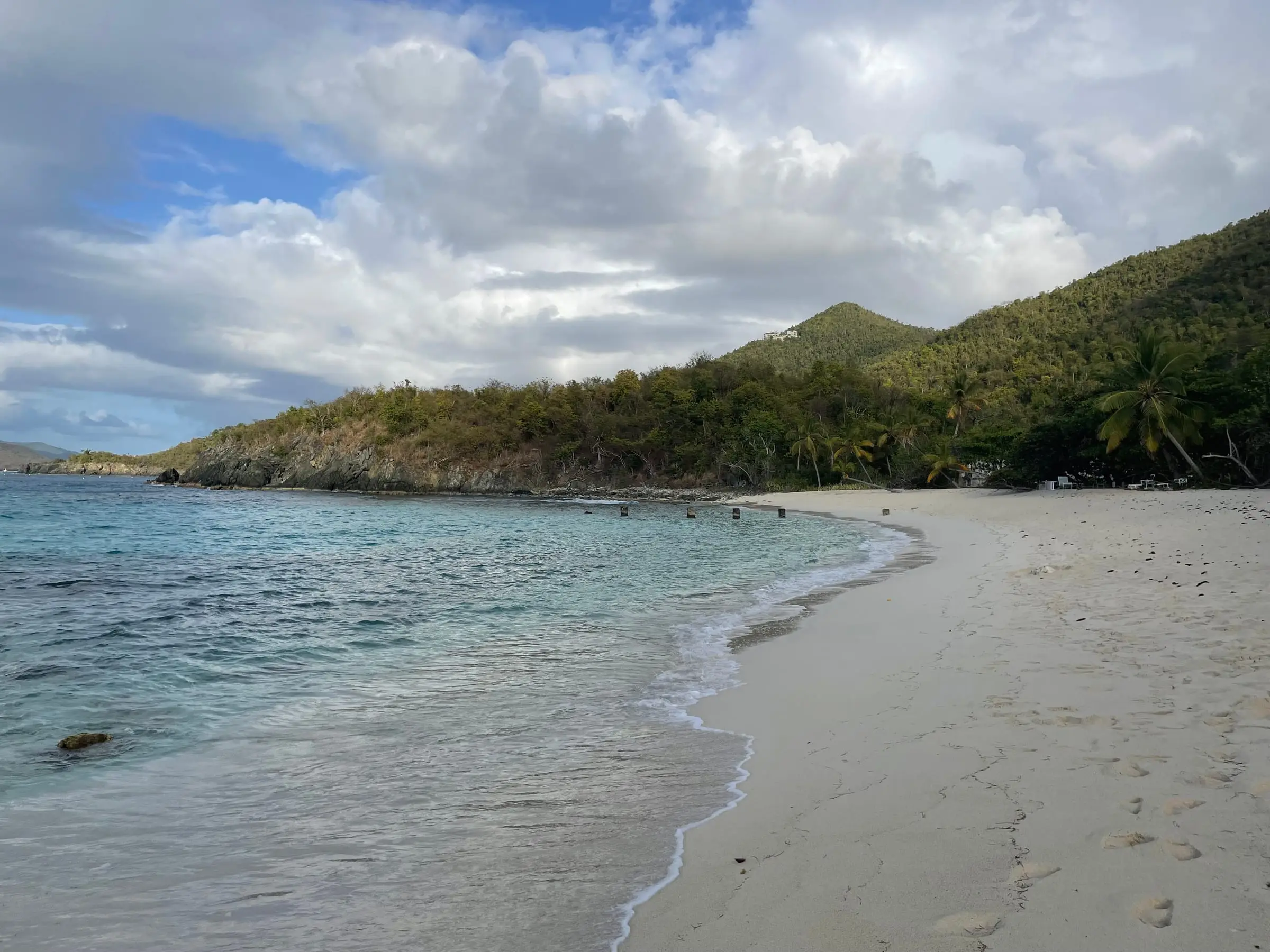
Photo: Eoghanacht, CC0
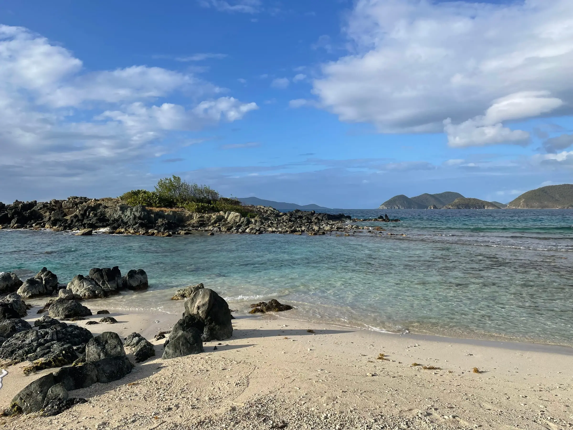
Photo: Eoghanacht, CC0
Denis Bay is a long, sandy beach on St. John's North Shore between Peace Hill and Jumbie Bay, reached only on foot or by boat. By land, park in the small Peace Hill lot on North Shore Road, which News of St. John placed on the left past the Oppenheimer gate (coming from Cruz Bay) in 2020, and take the Peace Hill trail, then a side trail to the right down to the beach. It timed that walk at about eight minutes in 2019, when it called Denis exposed and often wavy, and described it as short but steep in December 2024. The land behind the beach is private: a park snorkeling guide from 2009 noted 'keep off' signs and said the public may use the beach up to the tree line. Commercial boats may not land groups here. No facilities, fee or lifeguard are listed, so bring water.
Services
- Peace Hill parking lot on North Shore Road, then a short, steep side trail (as reported in 2019 to 2024)
- Private land behind the beach; stay below the tree line (2009 park guide)
- Closed to groups landed by commercial boats
- No facilities listed
How we checked
Last verified on October 30, 2026. We checked it against the sources below.
Source: News of St. John, January 15, 2019, https://newsofstjohn.com/the-beaches-a-little-of-this-a-little-of-that/ (reached from the Peace Hill trail, about eight minutes, exposed and wavier, a long beach with a fair amount of sand), May 23, 2020, https://newsofstjohn.com/explore-stj-peace-hill/ (the Peace Hill lot past the Oppenheimer gate, the trail to the right down to Denis Bay, the beach east of Peace Hill, Peace Hill given to the National Park Service), and December 31, 2024, https://newsofstjohn.com/st-johns-hidden-gems-put-these-uncrowded-beaches-and-trails-on-your-list/ (reached only by foot or boat, a short but steep hike from the Peace Hill parking area); National Park Service, 'Where's the Best Snorkeling?' (updated September 2009), archived at https://npshistory.com/publications/viis/brochures/best-snorkeling.pdf ('beware of dog' and 'keep off' signs; the public may use the beach up to the tree line where private property begins), and the compendium, https://www.nps.gov/viis/learn/management/compendium.htm (updated October 6, 2026; Denis Bay closed to commercial vessel groups); all accessed 2026-10-30. No source lists facilities, a fee or lifeguards. No source newer than 2009 describes the private land behind the beach; a web search found none. Map point: GNIS feature 1613866 (Bay, 'Denis Bay'); GNIS has no Beach feature here. U.S. Geological Survey Geographic Names Information System, Virgin Islands file published September 29, 2026, https://prd-tnm.s3.amazonaws.com/StagedProducts/GeographicNames/DomesticNames/DomesticNames_VI_Text.zip, accessed 2026-10-30.
USVI Realty does not rank, rate or endorse the places and services in this directory. Hours, fees and rules change, so check the official source before you go.
Around St. John
Photo: Navin75, CC BY-SA 2.0


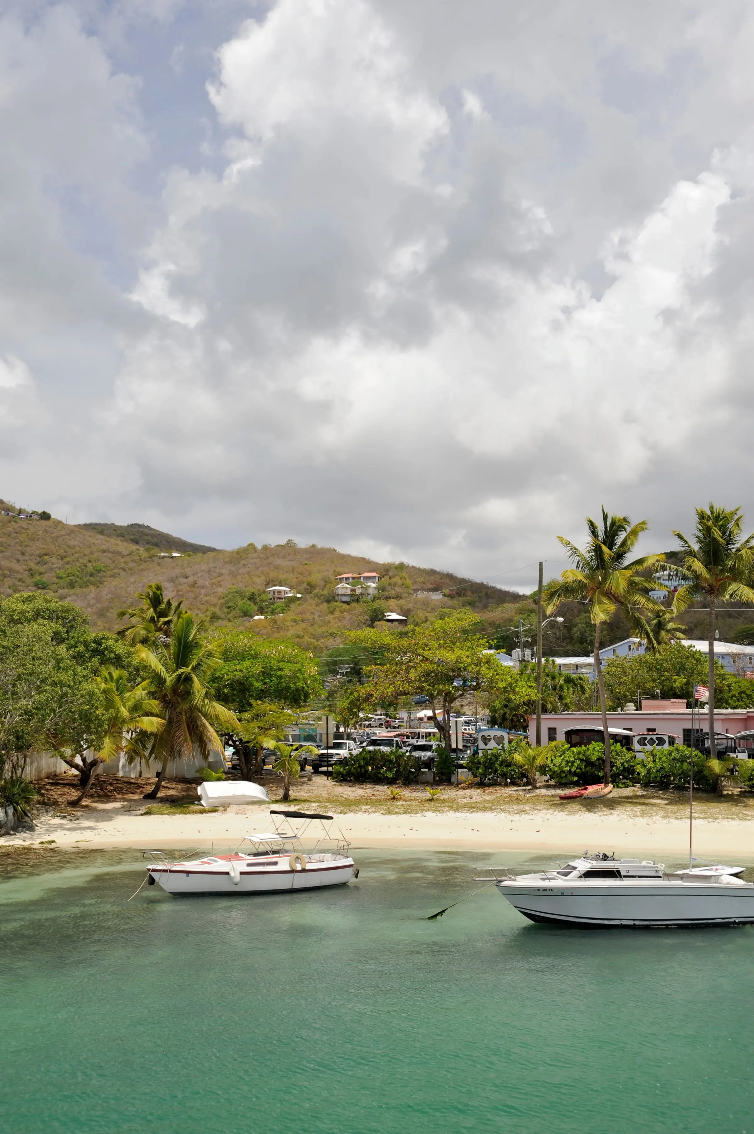
Photo: Fred Hsu, CC BY-SA 3.0
