
Salomon Beach
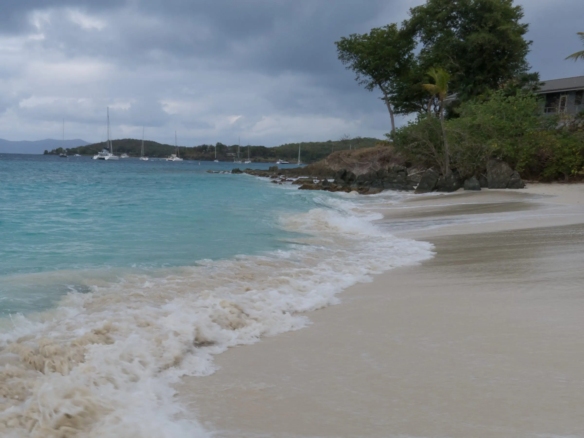
Photo: Scott Long, CC BY 3.0
Salomon Beach is a tree-lined beach with both sun and shade in Virgin Islands National Park on the west side of St. John, next to Honeymoon Beach. No road reaches it. Walk the lower Lind Point Trail from the park visitor center in Cruz Bay, about 1.4 miles of rocky path that the park calls unsuitable for strollers, or start at the trailhead by the national park sign on North Shore Road and use the first two gravel lots. Parking at the visitor center needs a park permit. Snorkelers find the most fish along the rocky edges of the bay, finger coral on the reef to the west, and brain, elkhorn and pillar corals off the point toward Honeymoon. No facilities are listed, so bring water; neighboring Honeymoon has a food concession. There is no fee and no lifeguard is listed. Pets and glass are not allowed.
Services
- No fee
- Lower Lind Point Trail from the Cruz Bay visitor center, about 1.4 miles
- Trailhead and gravel parking lots by the park sign on North Shore Road
- Snorkeling along the rocky edges of the bay and off the point toward Honeymoon Beach
- No facilities listed; a food concession at neighboring Honeymoon Beach
- Drones allowed only with the park superintendent's written approval
How we checked
Last verified on October 30, 2026. We checked it against the sources below.
Source: National Park Service pages https://www.nps.gov/thingstodo/salomonhoneymoon.htm (updated March 10, 2021; access from the visitor center and North Shore Road, rocky trail not suitable for strollers, pets not allowed on beaches), https://www.nps.gov/thingstodo/hike-the-lind-point-trails.htm (updated March 1, 2017; Salomon is the first beach on the lower Lind Point Trail, tree-lined with shady or sunny spots, fish along the rocky edges, the North Shore Road trailhead and its first two gravel lots, the concession at Honeymoon), https://www.nps.gov/viis/planyourvisit/snorkeling.htm (updated June 6, 2022; corals off the point and finger coral west of Salomon), https://home.nps.gov/viis/planyourvisit/frequently-asked-questions.htm (updated December 5, 2024; 1.4 miles from Cruz Bay), https://www.nps.gov/viis/planyourvisit/gettingaround.htm (updated December 10, 2024; parking permit at the visitor center), https://www.nps.gov/viis/planyourvisit/fees.htm (updated September 29, 2026; no entrance fee, only Trunk Bay charges), https://www.nps.gov/viis/learn/management/compendium.htm (updated October 6, 2026; pets and glass banned on beaches, drones only with the superintendent's written approval) and the park alerts feed https://www.nps.gov/viis/park-alerts-viis.json (no closures posted), all accessed 2026-10-30. No park page lists lifeguards or facilities at Salomon. Map point: GNIS feature 1993649 (Beach, 'Salomon Beach'), U.S. Geological Survey Geographic Names Information System, Virgin Islands file published September 29, 2026, https://prd-tnm.s3.amazonaws.com/StagedProducts/GeographicNames/DomesticNames/DomesticNames_VI_Text.zip, accessed 2026-10-30.
USVI Realty does not rank, rate or endorse the places and services in this directory. Hours, fees and rules change, so check the official source before you go.
Around St. John
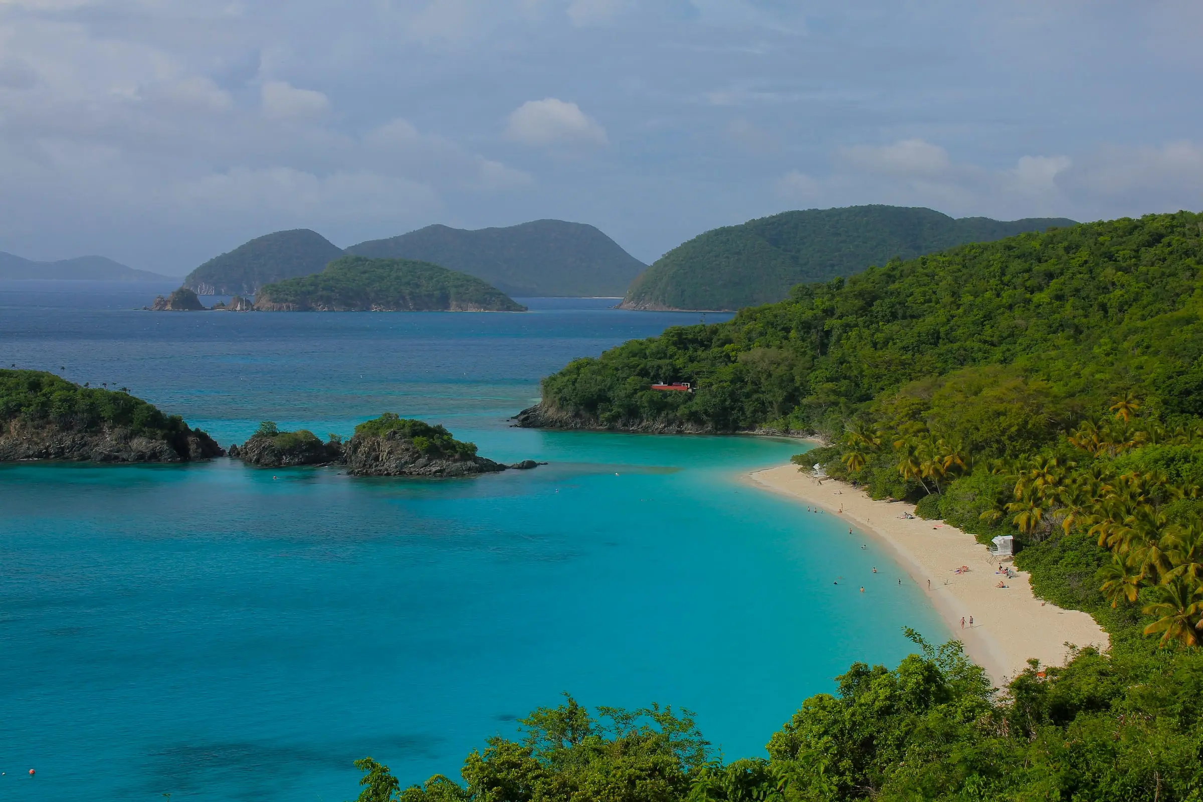
Photo: Navin75, CC BY-SA 2.0
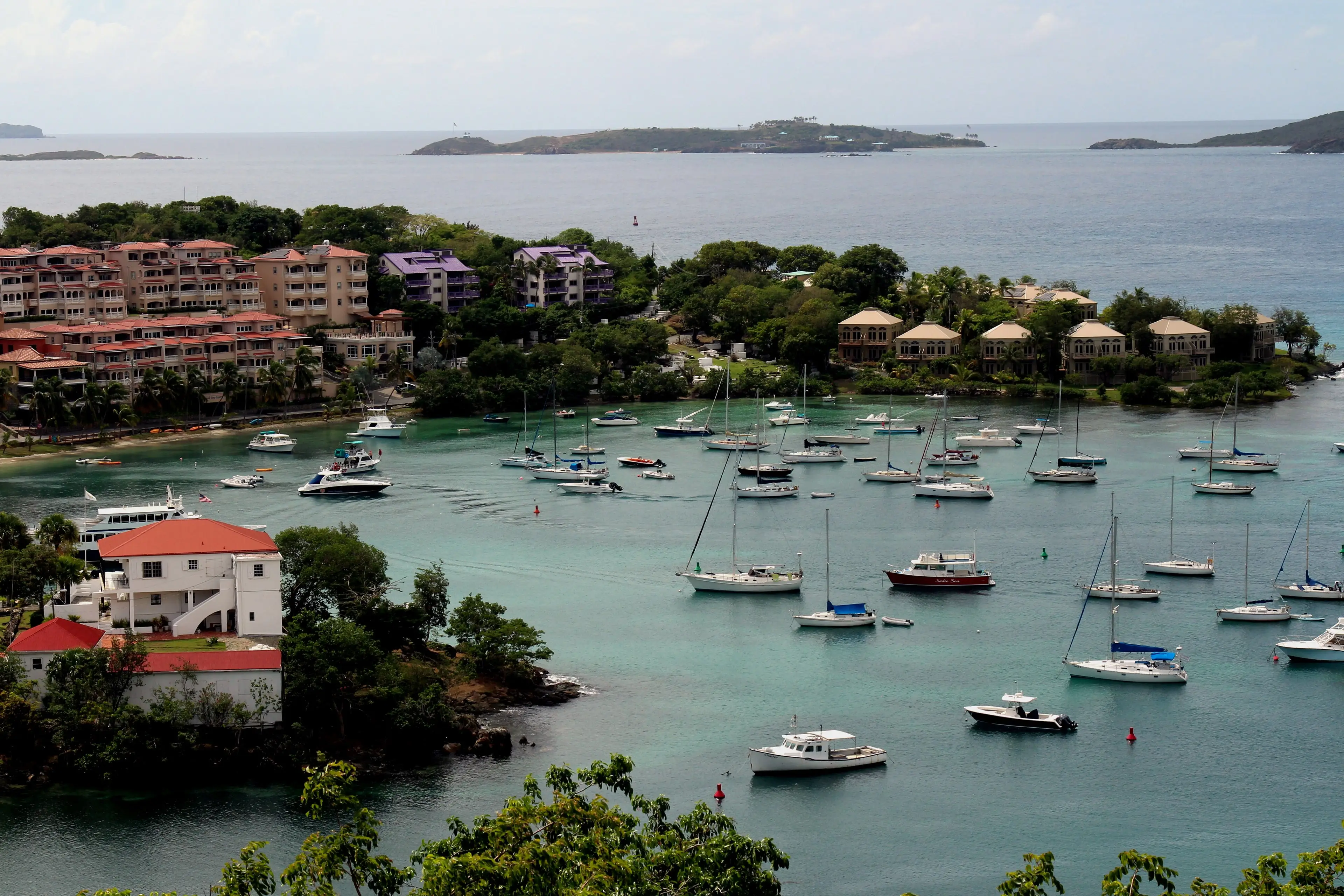


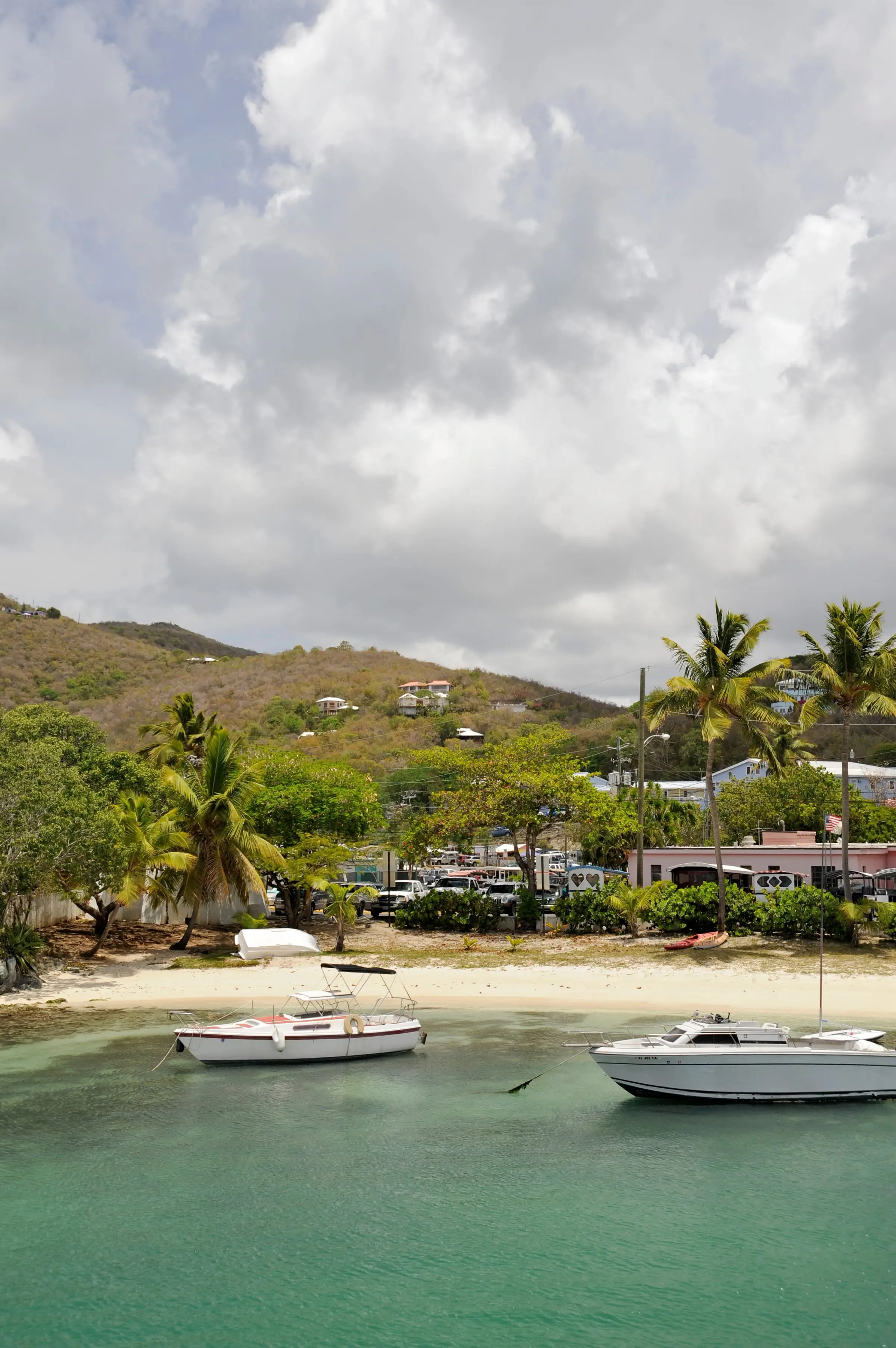
Photo: Fred Hsu, CC BY-SA 3.0
