
Perseverance Bay
BeachesSt. ThomasLast verified October 31, 2026
Around St. Thomas
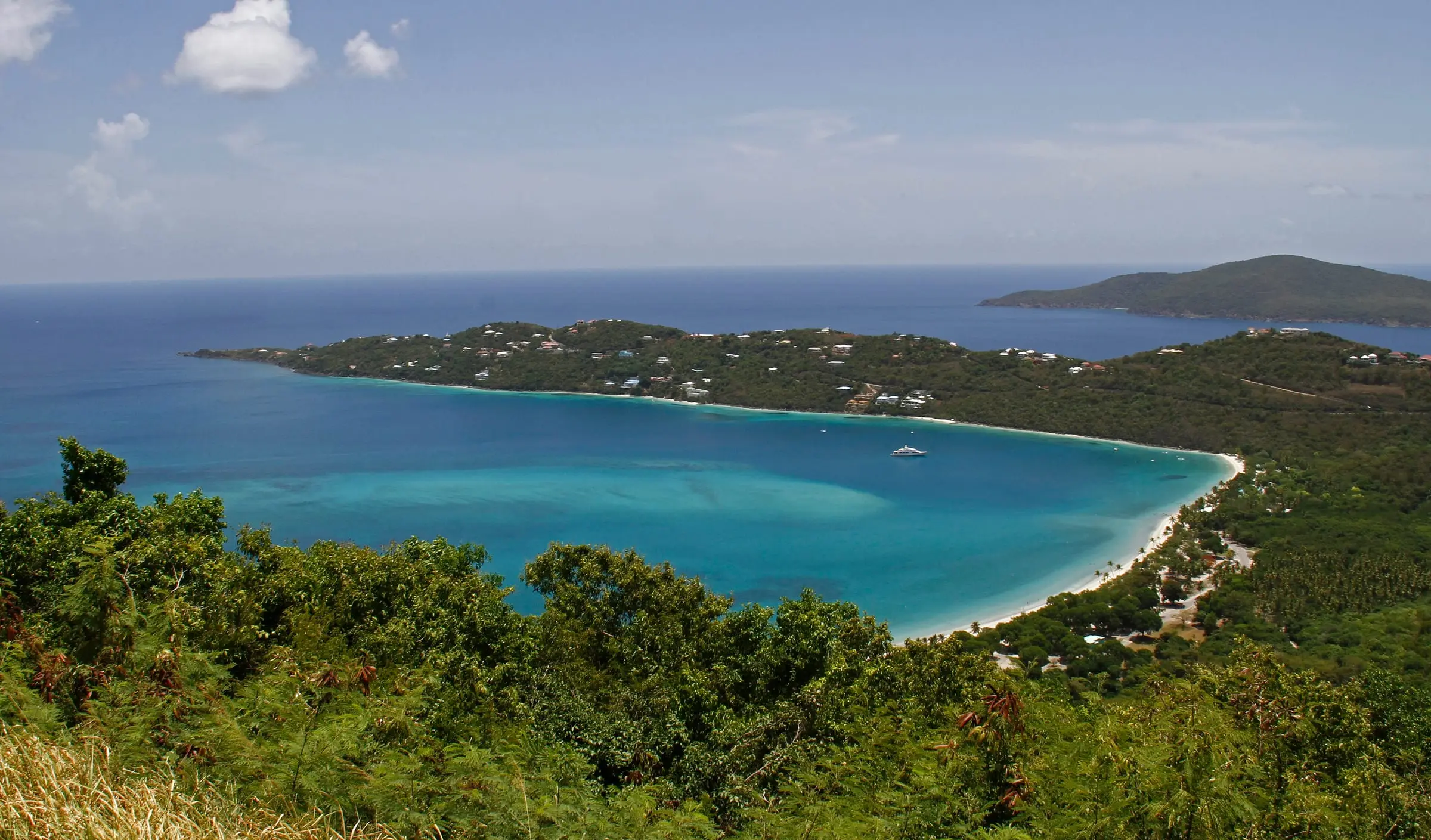
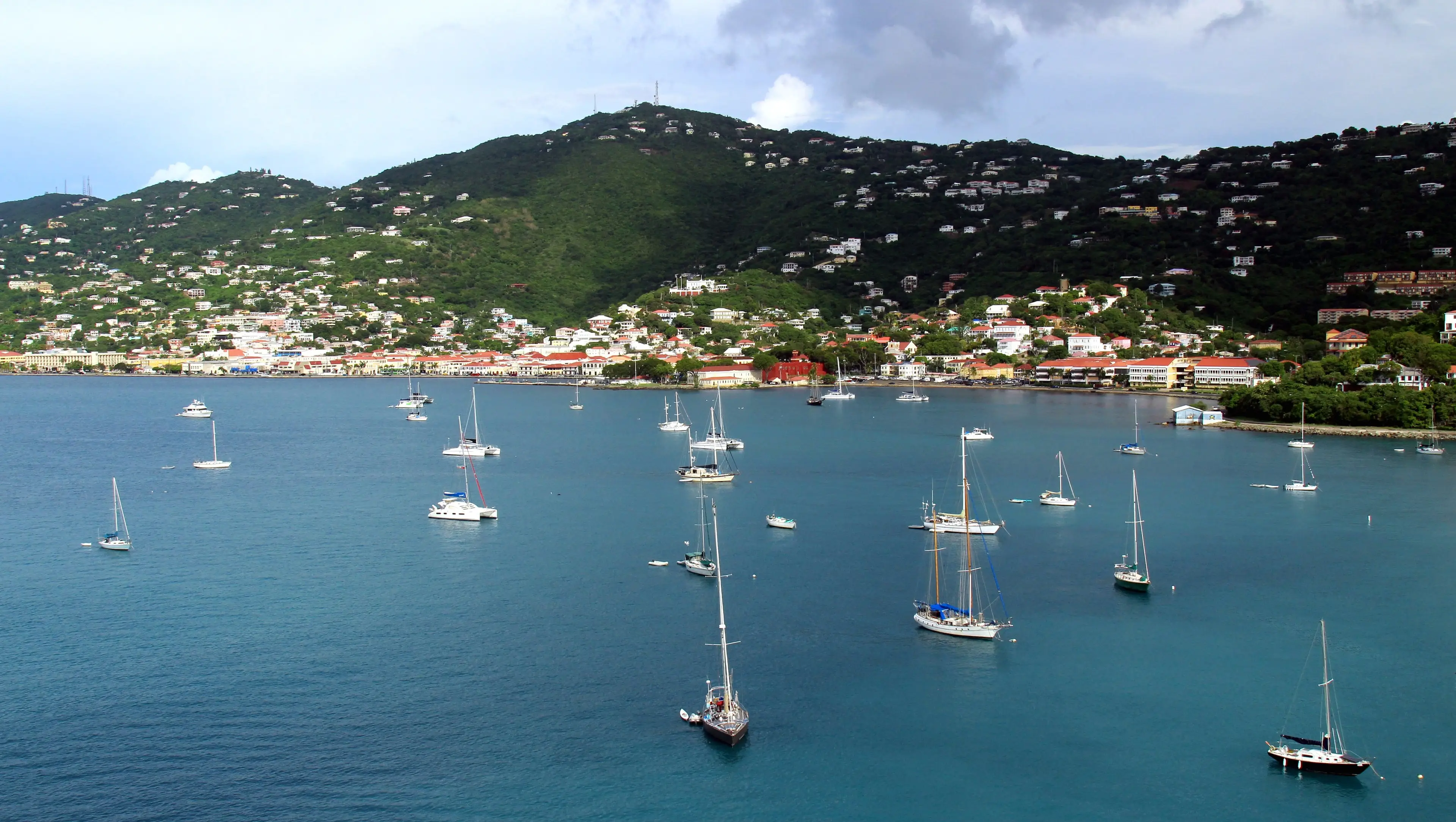
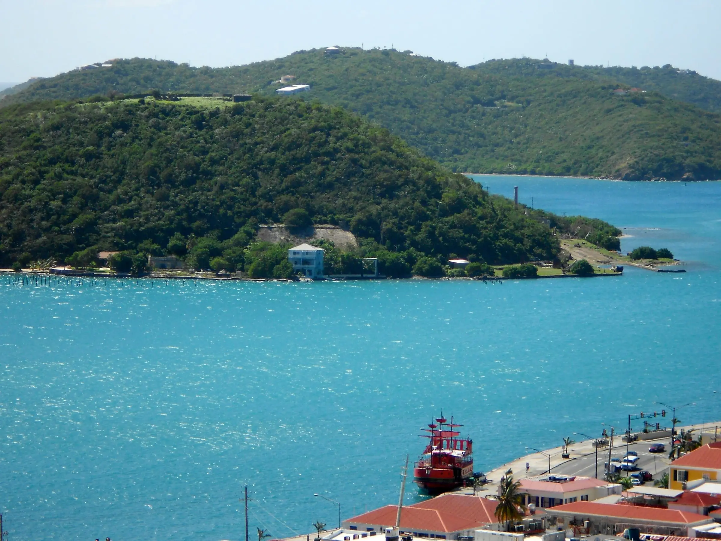


Perseverance Bay is a cobblestone beach on the west end of St. Thomas. In March 2026 the Department of Planning and Natural Resources (DPNR) announced that it had bought the 140-acre hillside above the bay for the Territorial Parks System, run by its Division of Territorial Parks and Protected Areas. The Perseverance Bay Trail, about 0.7 mile on the division's map, starts from the Santa Maria Beach Path parking area on Fortuna Road, with room for two cars, per the Department of Tourism. It runs through forest past a salt pond ringed by mangroves to the rocky shore. DPNR called the trail unmarked in 2025; residents said in August 2026 that recent maintenance had made it easier to use. No facilities are listed, so bring water. Sugar factory ruins hide in the forest, and University of the Virgin Islands divers restore corals offshore. DPNR does not test the water here.
Services
- Territorial park managed by DPNR's Division of Territorial Parks and Protected Areas
- Reached on foot by the Perseverance Bay Trail, about 0.7 mile
- No facilities listed
- Not among the beaches DPNR tests each week
How we checked
Last verified on October 31, 2026. We checked it against the sources below.
Source: DPNR press release, March 12, 2026, https://dpnr.vi.gov/press_releases/dpnr-purchases-140-acre-property-above-perseverance-bay-for-territorial-parks-system/ (140-acre property purchased and incorporated into the Territorial Parks System; the Division of Territorial Parks and Protected Areas stewards it); DPNR, 'Preserving a Treasure: The Push to Protect Perseverance Bay', https://dpnr.vi.gov/parks/crrc/land-conservation-park-development/preservingatreasurethepushtoprotectperseverancebay/ (published August 28, 2025, updated December 17, 2025: unmarked trail from the hilltop through forest to the shoreline, cobblestone beach, salt pond surrounded by mangroves, hidden sugar factory ruins, coral restoration by UVI's Reef Response team); DPNR Territorial Parks map layer 'Perseverance Trail' (0.71 mile), https://services3.arcgis.com/VlblJrJklerBHiW0/arcgis/rest/services/Perseverance_Trail/FeatureServer/9; St. Thomas Source, August 5, 2026, https://stthomassource.com/content/2026/08/05/residents-highlight-concerns-about-maintenance-safety-accessibility-at-parks-workshop/ (recent maintenance on the Perseverance Bay trail on the western end of St. Thomas made it easier to use); DPNR beach data, https://dpnr.vi.gov/wp-content/uploads/2026/10/Beach-Data-10.30.26.pdf (not a testing site); USVI Department of Tourism, 'Scenic St. Thomas Hiking Trails', https://www.visitusvi.com/experience/st-thomas-hiking-trails/ (the Perseverance Bay Trail starts from the Santa Maria Beach Path parking area, which has room for two cars on Fortuna Road, and passes a salt pond on the way to a rocky beach; undated); all accessed 2026-10-31. No source opened gives swimming conditions. Map point: GNIS feature 1614210 (Bay, 'Perseverance Bay'); GNIS has no Beach feature for it. U.S. Geological Survey Geographic Names Information System, Virgin Islands file published September 29, 2026, https://prd-tnm.s3.amazonaws.com/StagedProducts/GeographicNames/DomesticNames/DomesticNames_VI_Text.zip, accessed 2026-10-31.
USVI Realty does not rank, rate or endorse the places and services in this directory. Hours, fees and rules change, so check the official source before you go.