
Santa Maria Bay
BeachesSt. ThomasLast verified October 31, 2026
Around St. Thomas
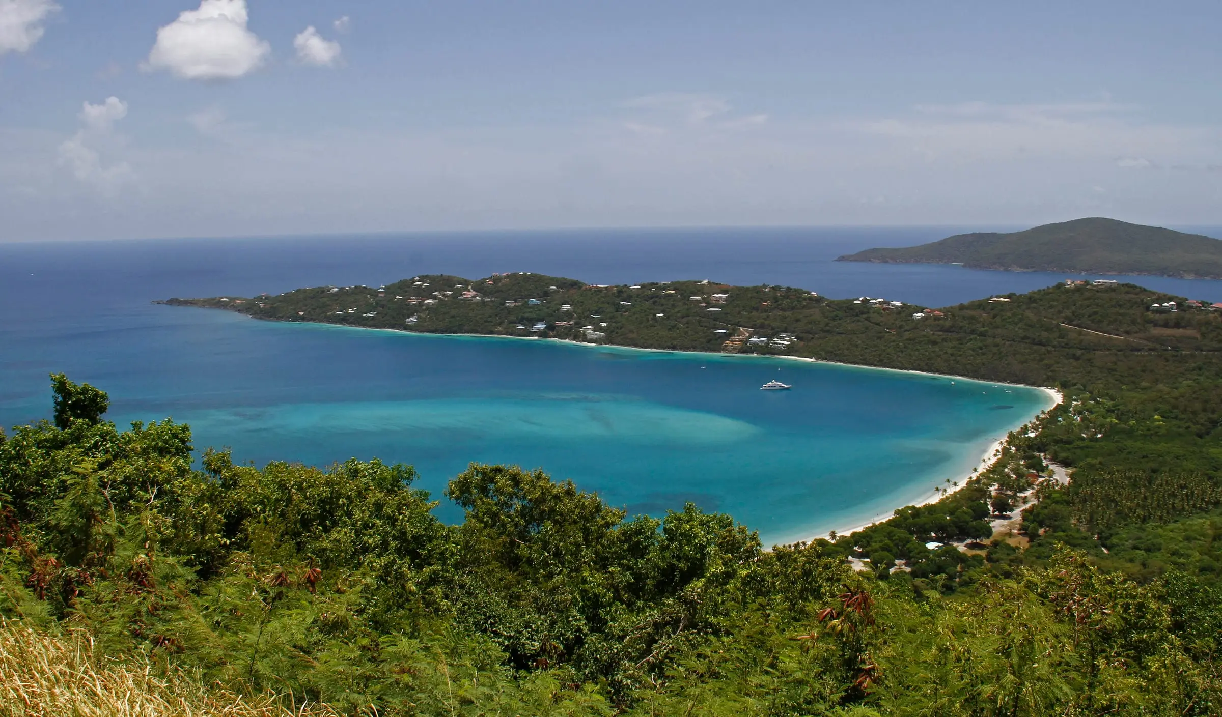


Santa Maria Bay is a soft-sand beach on the northwest coast of St. Thomas, reached by a footpath. The Department of Tourism describes an out-and-back walk of about a mile from a trailhead on Fortuna Road, where there is room for two cars. The path runs through thick brush and can be slippery; where it splits, the left branch is longer and more level and the right branch is steeper. A yellow rope tied to trees marks a side path to estate ruins. Tourism suggests sturdy shoes, long pants against scratches and a hiking partner. The beach is lined with palms, you rarely meet other people, and the shallow water suits snorkeling. No source lists facilities, so bring water. The Department of Planning and Natural Resources does not test the water here. The Perseverance Bay Trail starts from the same parking area.
Services
- About a mile out and back on foot from a trailhead on Fortuna Road
- Parking for two cars at the trailhead
- Shallow water for snorkeling
- No facilities listed
How we checked
Last verified on October 31, 2026. We checked it against the sources below.
Source: USVI Department of Tourism, 'Scenic St. Thomas Hiking Trails', https://www.visitusvi.com/experience/st-thomas-hiking-trails/ (Santa Maria Beach Path: trailhead on Fortuna Road with room for two cars, about a mile on an out-and-back trail through thick foliage, sometimes slippery, the left branch longer and more level and the right steeper, a yellow rope marking a detour to estate ruins, sturdy footwear, long pants and a hiking partner advised, soft-sand beach lined with palm trees where it is rare to meet other people, shallow water for snorkeling; the Perseverance Bay Trail starts from the same parking area; the page is undated); DPNR Coastal Zone Management's 'Parks, Beaches and Public Access' map, https://arcg.is/0iPDCi (a beach point named 'Santa Maria Bay'); DPNR beach data, https://dpnr.vi.gov/wp-content/uploads/2026/10/Beach-Data-10.30.26.pdf (not a testing site); all accessed 2026-10-31. Map point: GNIS feature 1614320 (Bay, 'Santa Maria Bay'); GNIS has no Beach feature for it. U.S. Geological Survey Geographic Names Information System, Virgin Islands file published September 29, 2026, https://prd-tnm.s3.amazonaws.com/StagedProducts/GeographicNames/DomesticNames/DomesticNames_VI_Text.zip, accessed 2026-10-31.
USVI Realty does not rank, rate or endorse the places and services in this directory. Hours, fees and rules change, so check the official source before you go.