
L'Esperance Trail
Hiking trailsSt. JohnLast verified October 31, 2026
Around St. John
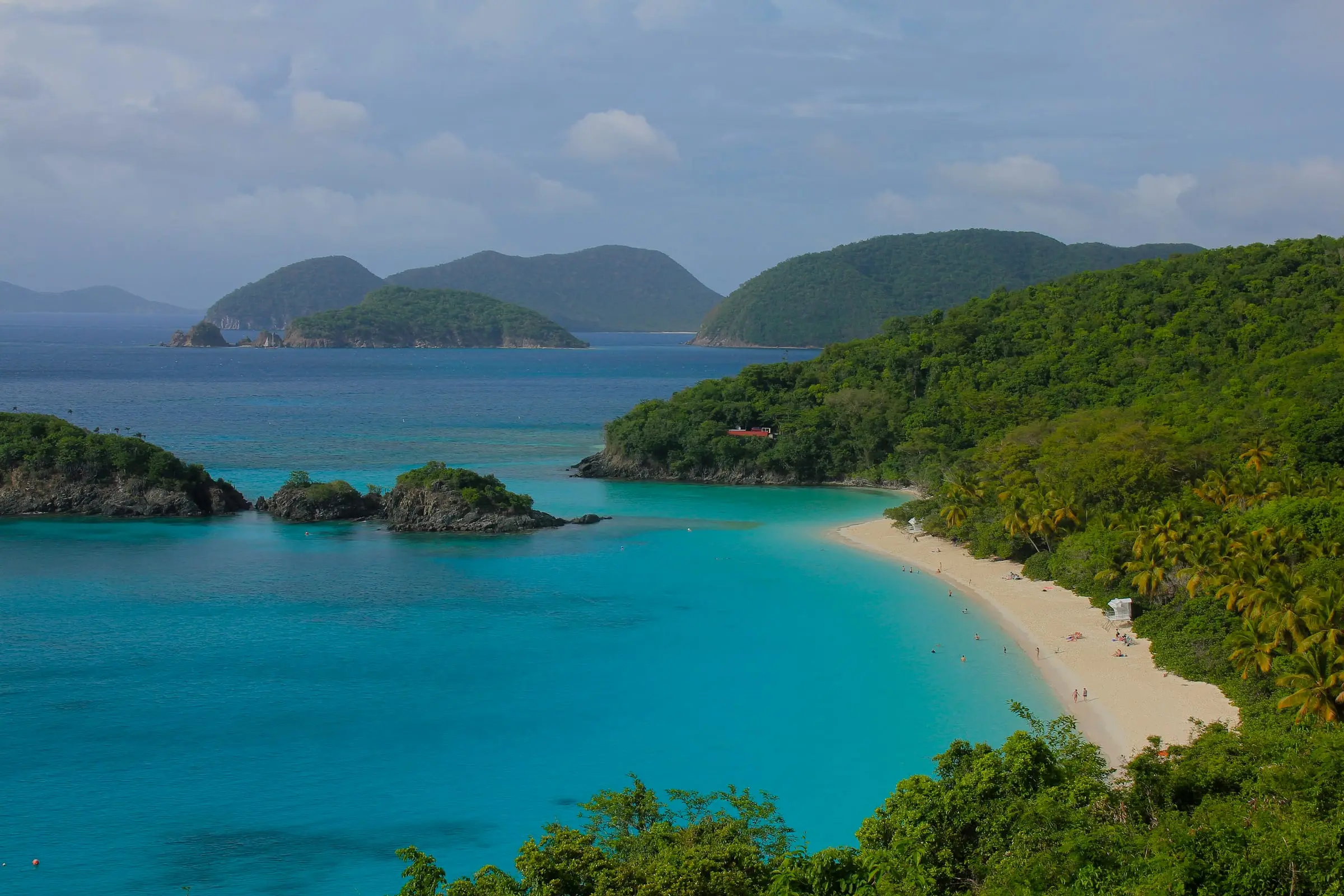
Photo: Navin75, CC BY-SA 2.0
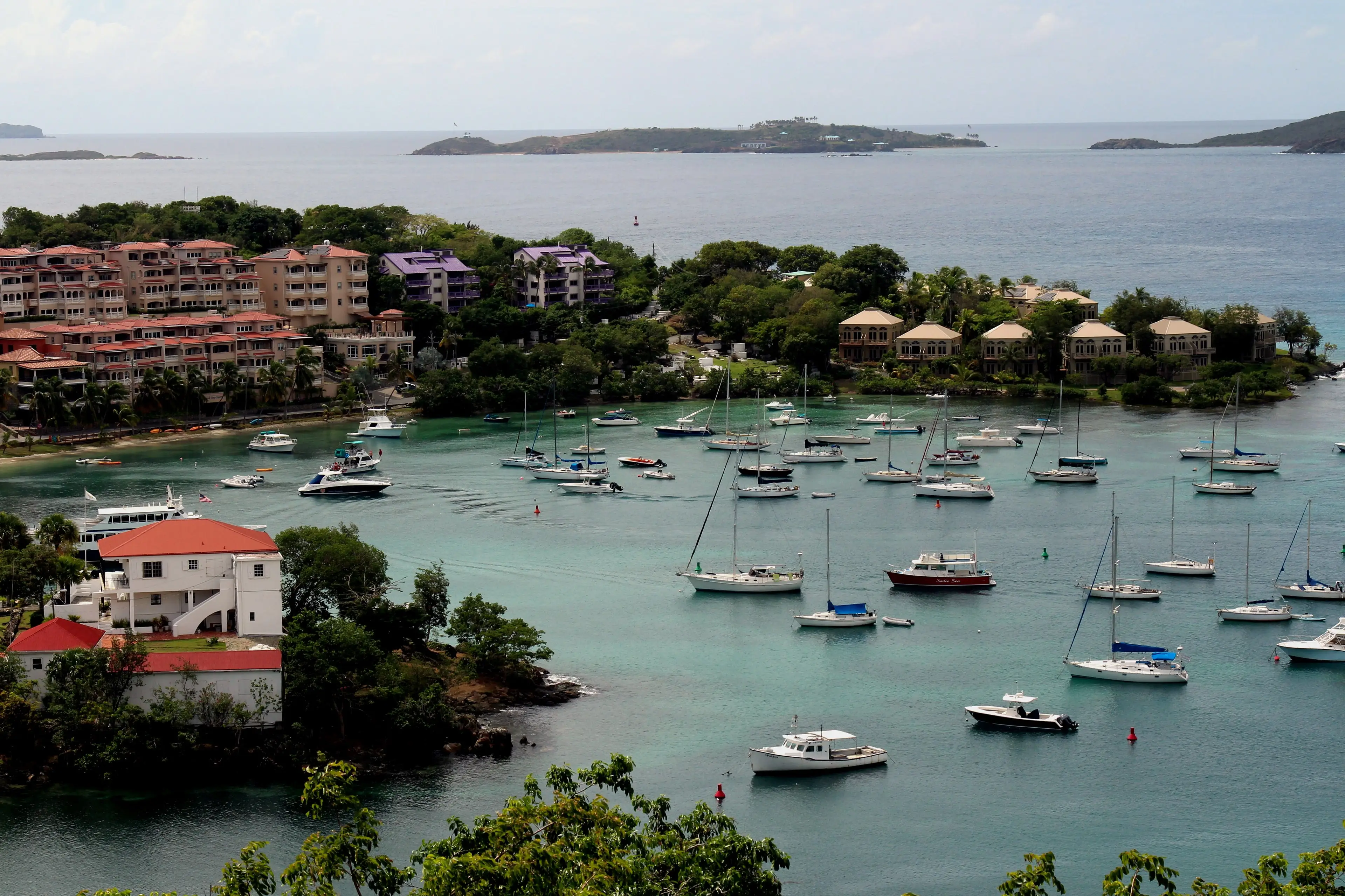


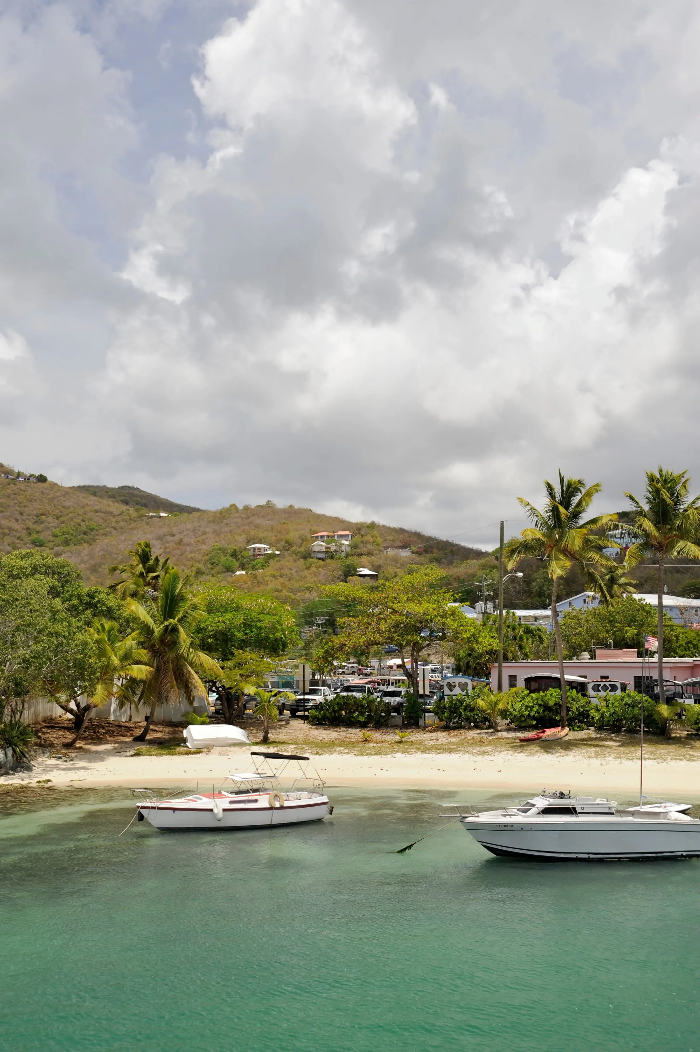
Photo: Fred Hsu, CC BY-SA 3.0

The L'Esperance Trail descends about 2.6 miles one way to the beach at Reef Bay in Virgin Islands National Park, following an old Danish road past the ruins of some of the earliest plantations on St. John. Along the way stands the island's only baobab, a sacred tree species that enslaved Africans brought to the Caribbean. Much of the route faces west and has little shade, so wear a hat and sun protection. The park calls it a backcountry trail, steep in places, uneven, rocky and slippery even when dry, and estimates two to four hours. Bring sturdy closed-toe shoes, plenty of water, lunch and insect repellent. Fit hikers can go down this trail and climb back out on the Reef Bay Trail, or the reverse. The park does not publish trailhead directions; ask at its visitor center. Leashed dogs are allowed on the trail, not on beaches.
Services
- About 2.6 miles one way to the beach (NPS)
- Plantation ruins and the island's only baobab tree
- Links with the Reef Bay Trail at the bottom
- No fee
How we checked
Last verified on October 31, 2026. We checked it against the sources below.
Source: National Park Service pages https://www.nps.gov/thingstodo/l-esperance-trail.htm (updated April 2, 2021; historic Danish road, early plantation ruins, the island's only baobab, a sacred tree species brought to the Caribbean by enslaved Africans, about 2.6 miles one way from trailhead to beach, west-facing with little shade, backcountry trail steep, rocky and slippery, two to four hours, down one of L'Esperance or Reef Bay and up the other, leashed dogs on trails; the page also mentions ranger-led hikes, but no trailhead directions), https://www.nps.gov/viis/planyourvisit/rangerguidedtours.htm (updated December 28, 2025; the current guided hikes are the Reef Bay and Ram Head hikes, none on L'Esperance), https://www.nps.gov/viis/learn/management/compendium.htm (updated October 6, 2026; pets prohibited on beaches) and the park alerts feed https://www.nps.gov/viis/park-alerts-viis.json (no closure posted); NPS Public Trails dataset, https://mapservices.nps.gov/arcgis/rest/services/NationalDatasets/NPS_Public_Trails_Geographic/FeatureServer/0 (L'Esperance Trail, OBJECTID 23711, runs from 18.34248, -64.75936 down to the Reef Bay Trail near the shore); Friends of Virgin Islands National Park FY26 Terrestrial Programs Report, https://friendsvinp.org/wp-content/uploads/2026/10/FY_26-Trails-Terrestrial-Report.pdf (L'Esperance Trail and ruins maintained); all accessed 2026-10-31. Map point: NPS Data API things-to-do record 'L'Esperance Trail' (18.34261, -64.75915), https://developer.nps.gov/api/v1/thingstodo?parkCode=viis, accessed 2026-10-31; it matches the upper end of the trail line.
USVI Realty does not rank, rate or endorse the places and services in this directory. Hours, fees and rules change, so check the official source before you go.