
Ram Head Trail
Hiking trailsSt. JohnLast verified October 31, 2026
Around St. John
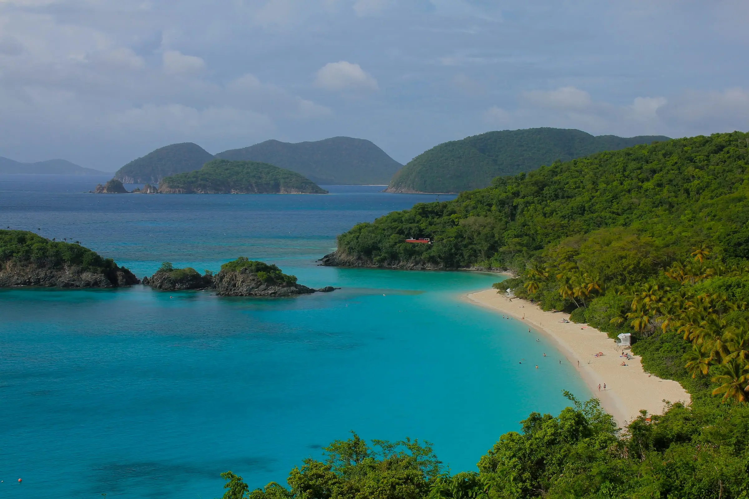
Photo: Navin75, CC BY-SA 2.0
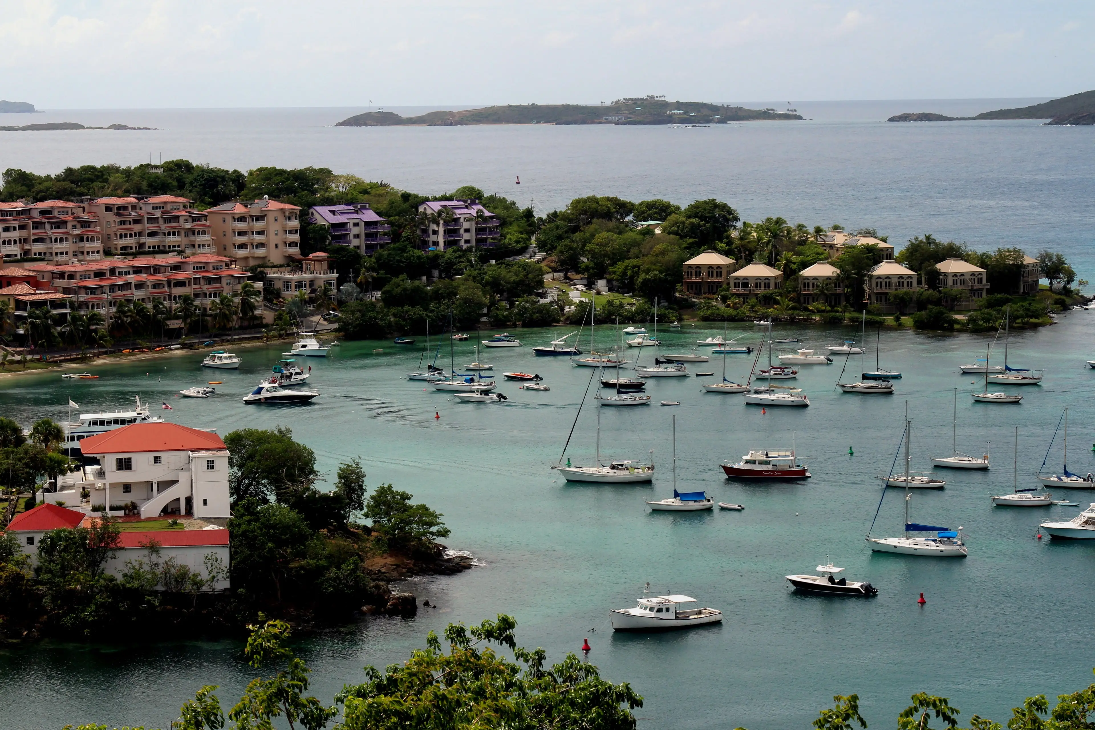


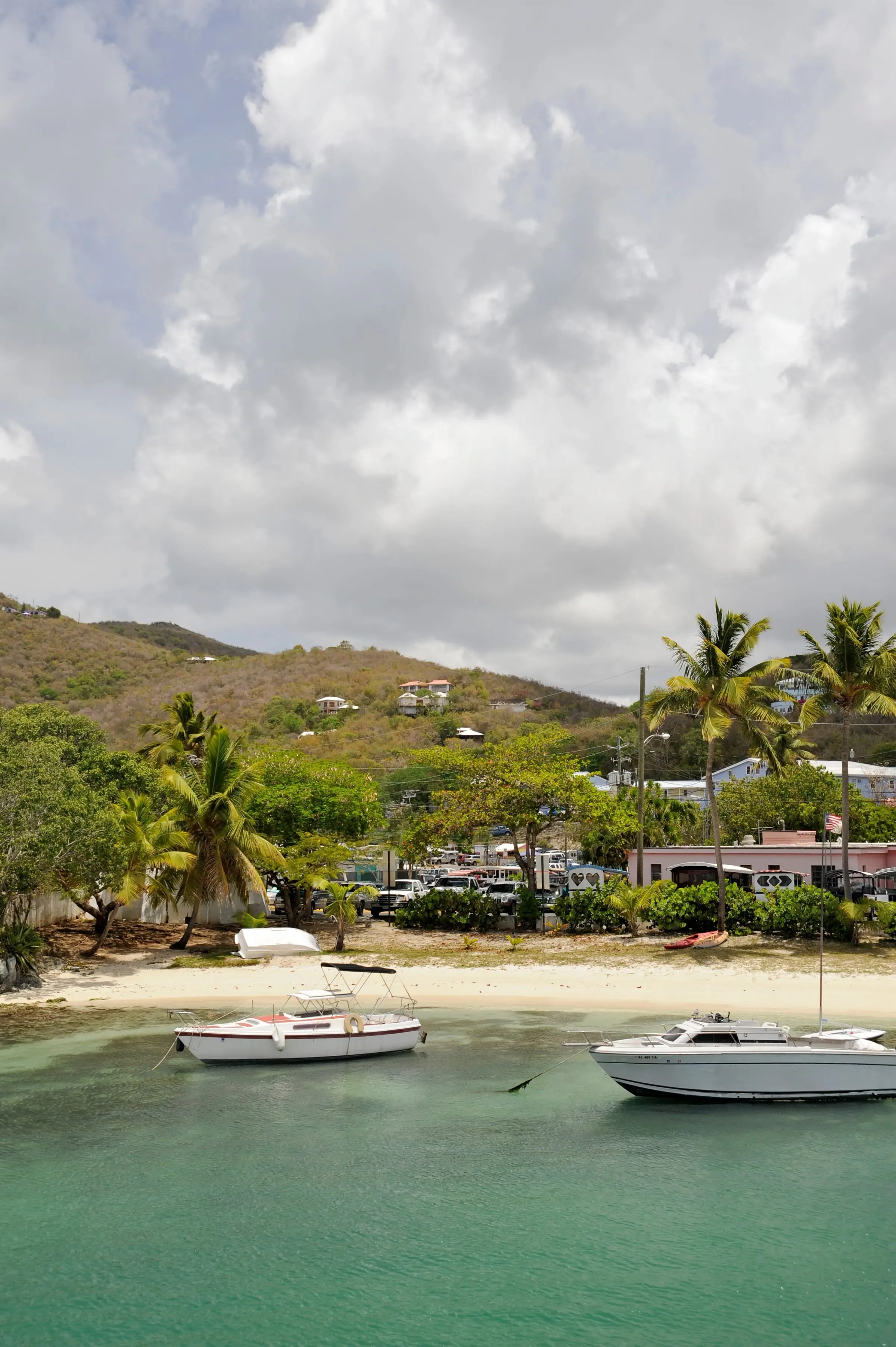
Photo: Fred Hsu, CC BY-SA 3.0

The Ram Head Trail climbs to Ram Head, the point south of Salt Pond Bay in Virgin Islands National Park. From the Salt Pond Bay parking lot past Coral Bay, walk the 0.25-mile rocky track to the beach, where the trail begins. Parking is limited; VITRAN buses stop at the lot, usually on weekdays, but the park calls them unreliable. The park rates the trail steep and strenuous: 0.9 mile one way on a narrow, rocky path through desert habitat with little shade, about 30 to 50 minutes from the beach. The easy 0.25-mile Drunk Bay Trail branches off. Carry plenty of water and sun protection. In season, rangers lead an intermediate hike here, just under 2.5 miles, covering the 1733 revolt of enslaved Africans; dates are on the park calendar. Vault toilets and picnic tables are at Salt Pond. Pets are banned on park beaches, including Salt Pond's.
Services
- 0.9 mile one way from Salt Pond Bay beach (strenuous)
- 0.25-mile Drunk Bay Trail spur (easy)
- Seasonal ranger-guided Ram Head hike
- Vault toilets and picnic tables at Salt Pond Bay
- No fee
How we checked
Last verified on October 31, 2026. We checked it against the sources below.
Source: National Park Service pages https://www.nps.gov/places/salt-pond-bay.htm (updated April 5, 2021; 0.25-mile trail from the lot to the beach, uneven and rocky, limited parking, VITRAN stop, vault toilets and picnic tables, easy 0.25-mile Drunk Bay Trail and steep, strenuous 0.9-mile one-way Ram Head Trail), https://www.nps.gov/thingstodo/salt-pond-and-ram-head-trails.htm (updated August 14, 2018; 30 to 50 minutes from the beach to Ram Head, narrow path), https://www.nps.gov/viis/planyourvisit/rangerguidedtours.htm (updated December 28, 2025; Ram Head guided hike, intermediate, just under 2.5 miles, rocky and steep, desert habitat with little shade, leaves from the Salt Pond Bay lot and crosses Salt Pond Beach and Blue Pebble Beach, history of the 1733 revolt, seasonal dates on the calendar), https://www.nps.gov/viis/planyourvisit/gettingaround.htm (updated December 10, 2024; VITRAN buses run from Cruz Bay through Coral Bay to Salt Pond Bay, usually Monday to Friday, and are not very reliable), https://www.nps.gov/viis/learn/management/compendium.htm (updated October 6, 2026; pets prohibited on beaches) and the park alerts feed https://www.nps.gov/viis/park-alerts-viis.json (no closure posted); U.S. Geological Survey GNIS, Virgin Islands names file, feature 1614245 (Cape, 'Ram Head', 18.2985671, south of the Salt Pond Bay lot); Friends of Virgin Islands National Park FY26 Terrestrial Programs Report, https://friendsvinp.org/wp-content/uploads/2026/10/FY_26-Trails-Terrestrial-Report.pdf (Ram Head Trail and the spur to Drunk Bay maintained); all accessed 2026-10-31. Map point: NPS Public POIs dataset, trailhead 'Saltpond Bay Trail' (OBJECTID 25838) at the Salt Pond Bay lot, where the walk to the trail begins, https://mapservices.nps.gov/arcgis/rest/services/NationalDatasets/NPS_Public_POIs_Geographic/FeatureServer/0, accessed 2026-10-31.
USVI Realty does not rank, rate or endorse the places and services in this directory. Hours, fees and rules change, so check the official source before you go.