
Charlotte Amalie Historic District
Parks and historic sitesSt. ThomasCharlotte AmalieLast verified October 31, 2026
Around Charlotte Amalie
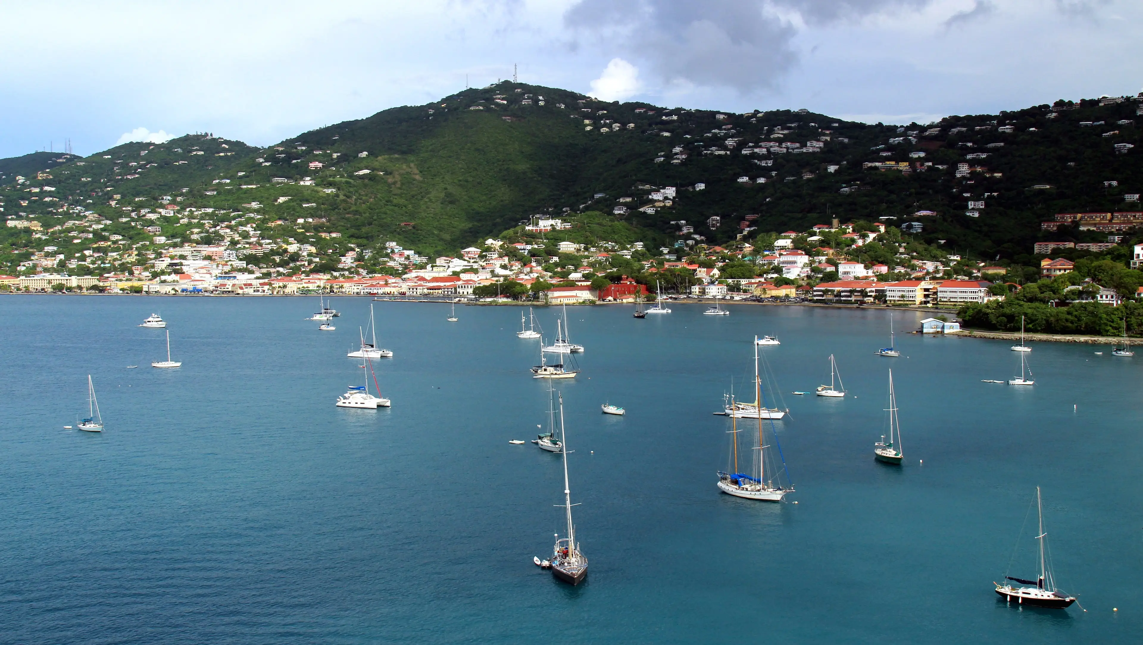

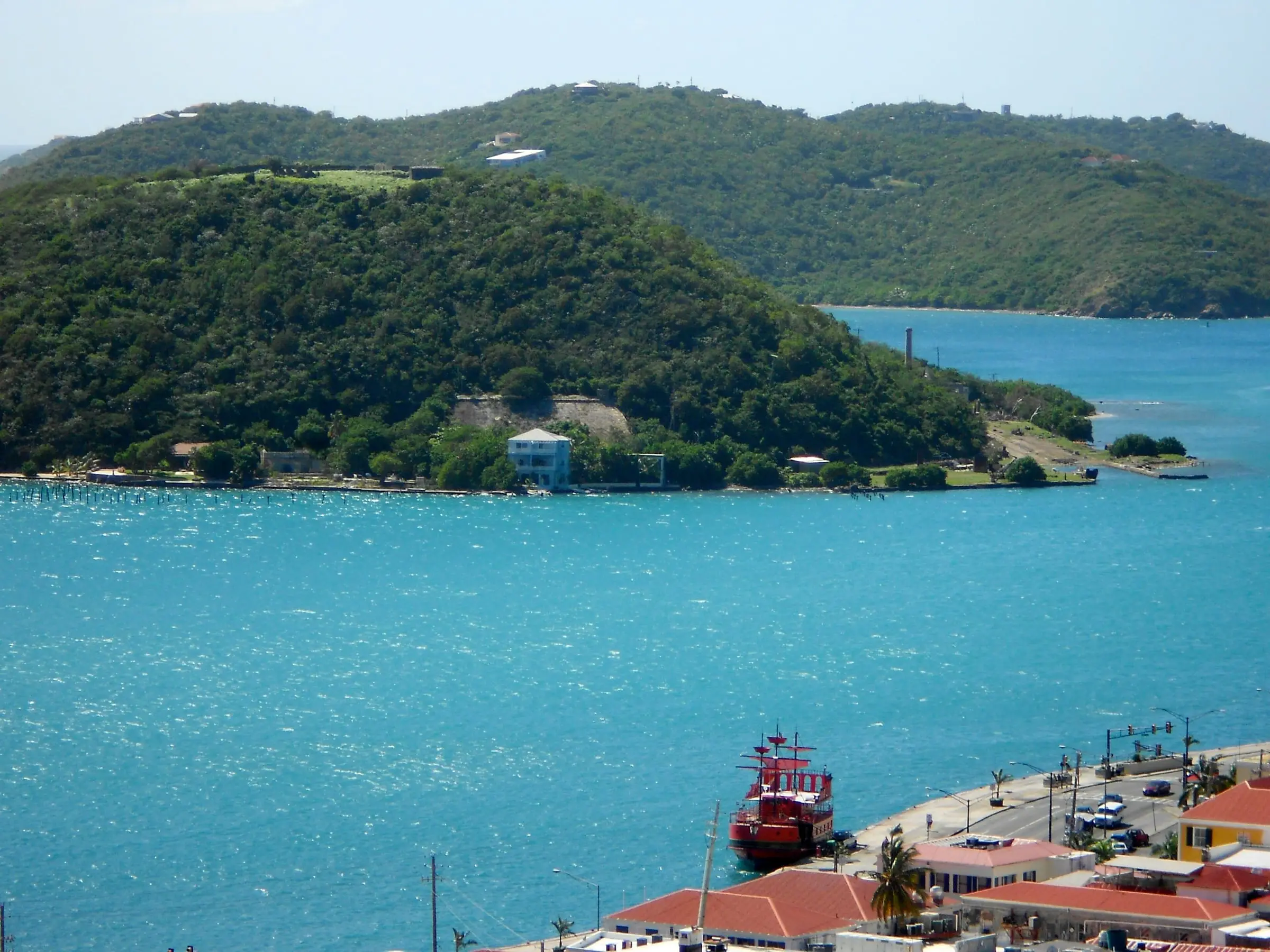
Photo: Smallbones, CC0

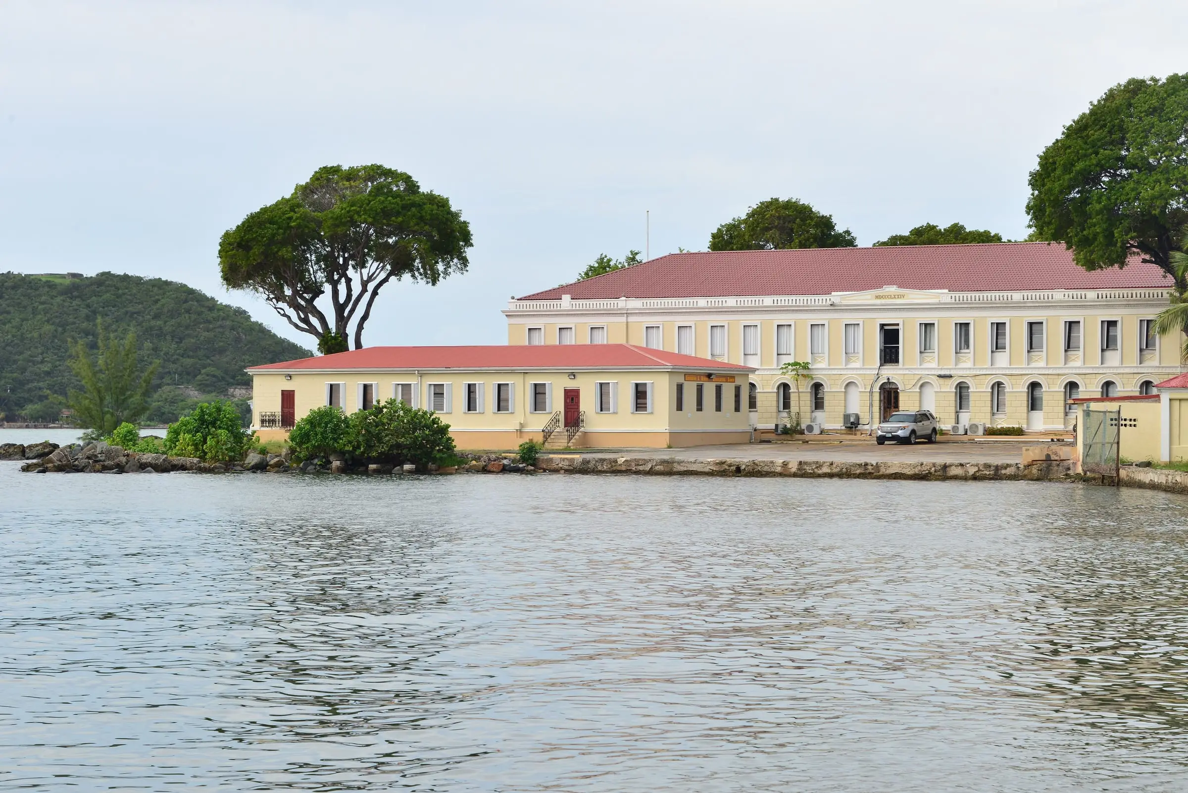
Photo: Андрей Бобровский, CC BY 3.0

The Charlotte Amalie Historic District, listed on the National Register of Historic Places in 1976, is the old town of the territory's capital, roughly the area between the harbor and Government, Berg and Nytvaer hills. Stone warehouses once used for sugar and rum exports line Main Street, and Danish street names such as Kongens Gade survive. Because a town plan drawn in Denmark for flat ground met steep hills, the town climbs by step streets; St. Thomas has 45 of them. The St. Thomas Historical Trust leads a two- to three-hour walking tour on Thursdays at 9 a.m. from its museum at 5332 Raadets Gade, for $55 a person. Stops include Fort Christian, Frederick Lutheran Church, Government House, the 99 Steps and the WPA murals in the post office. The Historic Preservation Committee of the Department of Planning and Natural Resources reviews changes to district buildings, from roofing to signs.
Services
- National Register historic district, listed in 1976
- St. Thomas Historical Trust walking tour: Thursdays at 9 a.m., $55, 2 to 15 people, book 48 hours ahead
- Exterior changes reviewed by DPNR's Historic Preservation Committee
- District boundary map and Historic Districts Guide published by DPNR
How we checked
Last verified on October 31, 2026. We checked it against the sources below.
Source: NPS NPGallery, National Register record for the Charlotte Amalie Historic District (NRIS 76001860, published July 19, 1976; roughly bounded by Nytvaer, Berg and Government hills, Bjebre Gade and St. Thomas Harbor; Greek Revival; significant years 1666 and 1832), https://npgallery.nps.gov/AssetDetail/NRIS/76001860; DPNR State Historic Preservation Office, https://dpnr.vi.gov/state-historic-preservation-office/historic-district-boundaries/ (Charlotte Amalie district boundary and Historic Districts Guide, January 2026); St. Thomas Source, October 15, 2025, https://stthomassource.com/content/2025/10/15/historic-preservation-committee-approves-sign-and-room-repairs-for-hotel-1829-and-upgrades-for-other-historic-district-properties/ (the committee decides proposed changes to district properties, from roofing to lamp posts and signs); St. Thomas Source, March 1, 2026, https://stthomassource.com/content/2026/03/01/community-effort-revives-charlotte-amalies-historic-step-streets/ (town plans drawn in Denmark for flat ground, adapted to the hills) and June 7, 2026, https://stthomassource.com/content/2026/06/07/historical-trust-volunteers-mobilize-for-latest-step-street-restoration/ (45 step streets); St. Thomas Historical Trust, https://www.stthomashistoricaltrust.org/tours (walking tour stops including Fort Christian, Frederick Lutheran Church, the 99 Steps, the post office WPA murals and Government House; Kongens Gade; stone warehouses; Thursdays at 9 a.m. from the Trust museum at 5332 Raadets Gade; $55; 2 to 3 hours; 48 hours' notice; 2 to 15 people); USVI Department of Tourism, https://www.visitusvi.com/experience/best-things-to-do-in-charlotte-amalie-on-st-thomas/ (Main Street stone buildings, once warehouses for sugar and rum exports); all accessed 2026-10-31. Map point: GNIS feature 1993771, 'Charlotte Amalie Historic District' (Park), U.S. Geological Survey GNIS archive file VI_Features_20210825 (an archived 2021 file; the feature is not in the current GNIS file), https://prd-tnm.s3.amazonaws.com/StagedProducts/GeographicNames/Archive/MainDomestic/VI_Features_20210825.txt, accessed 2026-10-31.
USVI Realty does not rank, rate or endorse the places and services in this directory. Hours, fees and rules change, so check the official source before you go.