
Mandahl Bay Beach
BeachesSt. ThomasNorthsideLast verified October 31, 2026
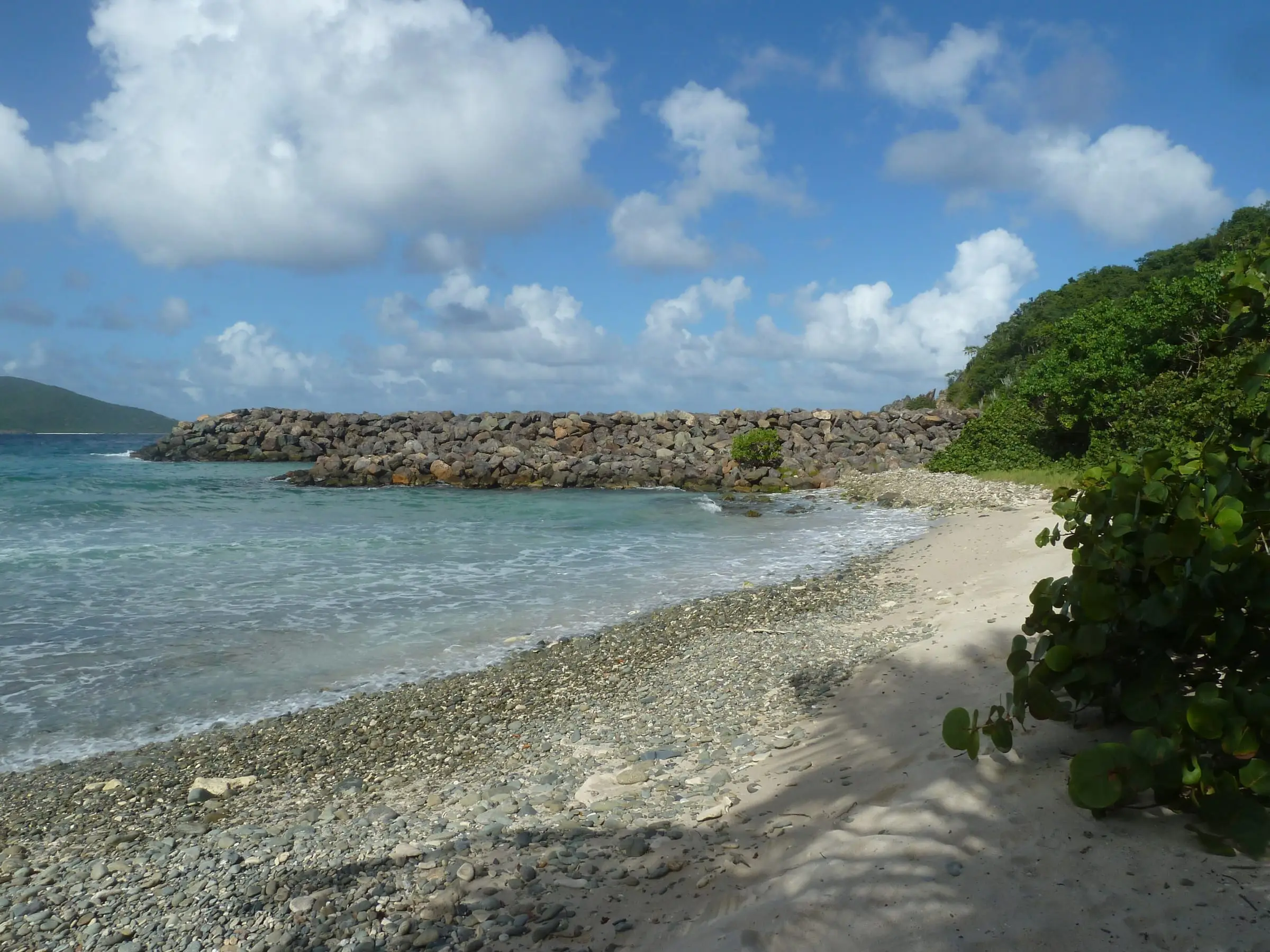
Photo: Gruepig, CC BY-SA 4.0

Mandahl Bay Beach is a public beach on the north coast of St. Thomas, east of Magens Bay, with a pond and mangroves beside it that shelter young fish. The Department of Planning and Natural Resources (DPNR) oversees it through its Division of Territorial Parks and Protected Areas as part of the Territorial Parks System, and lists the bay as an Area of Particular Concern. Residents use it for fishing, camping, boating, birding, paddleboarding and surfing. No source describes parking, swimming conditions, restrooms, lifeguards or vendors, so bring water and carry out your trash. Dumping is a recurring problem: DPNR led a cleanup of old grills, tires and furniture in November 2025, and a volunteer cleanup reported in April 2026 removed two to three truckloads more. In 2025 the division floated a better access road, trash bins, fire pits and benches. DPNR does not test the water here.
Services
- Public beach in the Territorial Parks System
- Used for fishing, camping, boating, birding, paddleboarding and surfing
- No facilities listed: bring water and carry out trash
- Not among the beaches DPNR tests each week
How we checked
Last verified on October 31, 2026. We checked it against the sources below.
Source: DPNR press releases, October 8, 2025, https://dpnr.vi.gov/press_releases/mandahl-bay-cleanup-weekend-announced-by-dpnr/ and November 4, 2025, https://dpnr.vi.gov/press_releases/mandahl-bay-cleanup-weekend-announced-by-dpnr-new-dates/ (the Division of Territorial Parks and Protected Areas oversees Mandahl Bay as part of the Virgin Islands Territorial Parks System; cleanup of the roadside, beach and pond on November 7 and 8, 2025); DPNR Coastal Zone Management, https://dpnr.vi.gov/coastal-zone-management/marine-protected-areas/ (Mandahl Bay is an Area of Particular Concern); St. Thomas Source, October 23, 2025, https://stthomassource.com/content/2025/10/23/park-clean-up-effort-underway-for-mandahl-bay/ (mangroves, pond, fish nursery for juvenile fish, dumped grills, tires and furniture, plans to improve the road and add garbage receptacles, raised fire pits and benches) and April 28, 2026, https://stthomassource.com/content/2026/04/28/from-math-to-mangroves-homeschool-pods-turn-mandahl-bay-cleanup-into-hands-on-lesson/ (public space used for fishing, camping, boating, birding, paddleboarding and surfing; two to three truckloads removed; trash increased after the November cleanup); DPNR beach data, https://dpnr.vi.gov/wp-content/uploads/2026/10/Beach-Data-10.30.26.pdf (Mandahl Bay is not a testing site); all accessed 2026-10-31. No source opened describes restrooms, parking, lifeguards or swimming conditions. 'East of Magens Bay' follows the GNIS coordinates. Map point: GNIS feature 1993560 (Beach, 'Mandahl Bay Beach'). U.S. Geological Survey Geographic Names Information System, Virgin Islands file published September 29, 2026, https://prd-tnm.s3.amazonaws.com/StagedProducts/GeographicNames/DomesticNames/DomesticNames_VI_Text.zip, accessed 2026-10-31.
USVI Realty does not rank, rate or endorse the places and services in this directory. Hours, fees and rules change, so check the official source before you go.
Around Northside
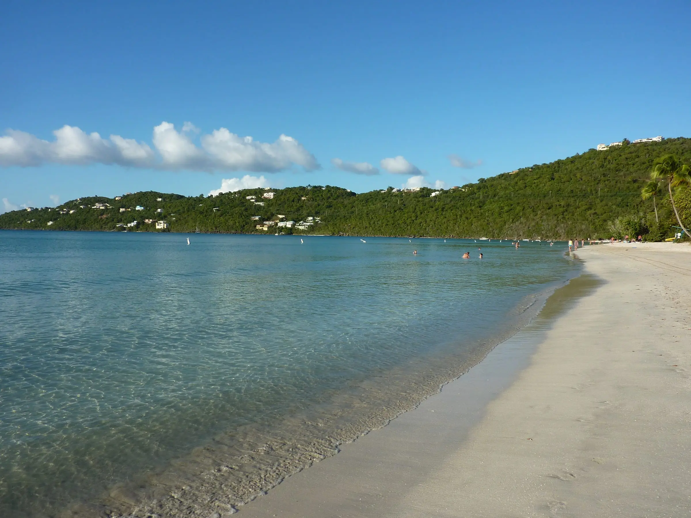
Photo: Gruepig, CC BY-SA 3.0

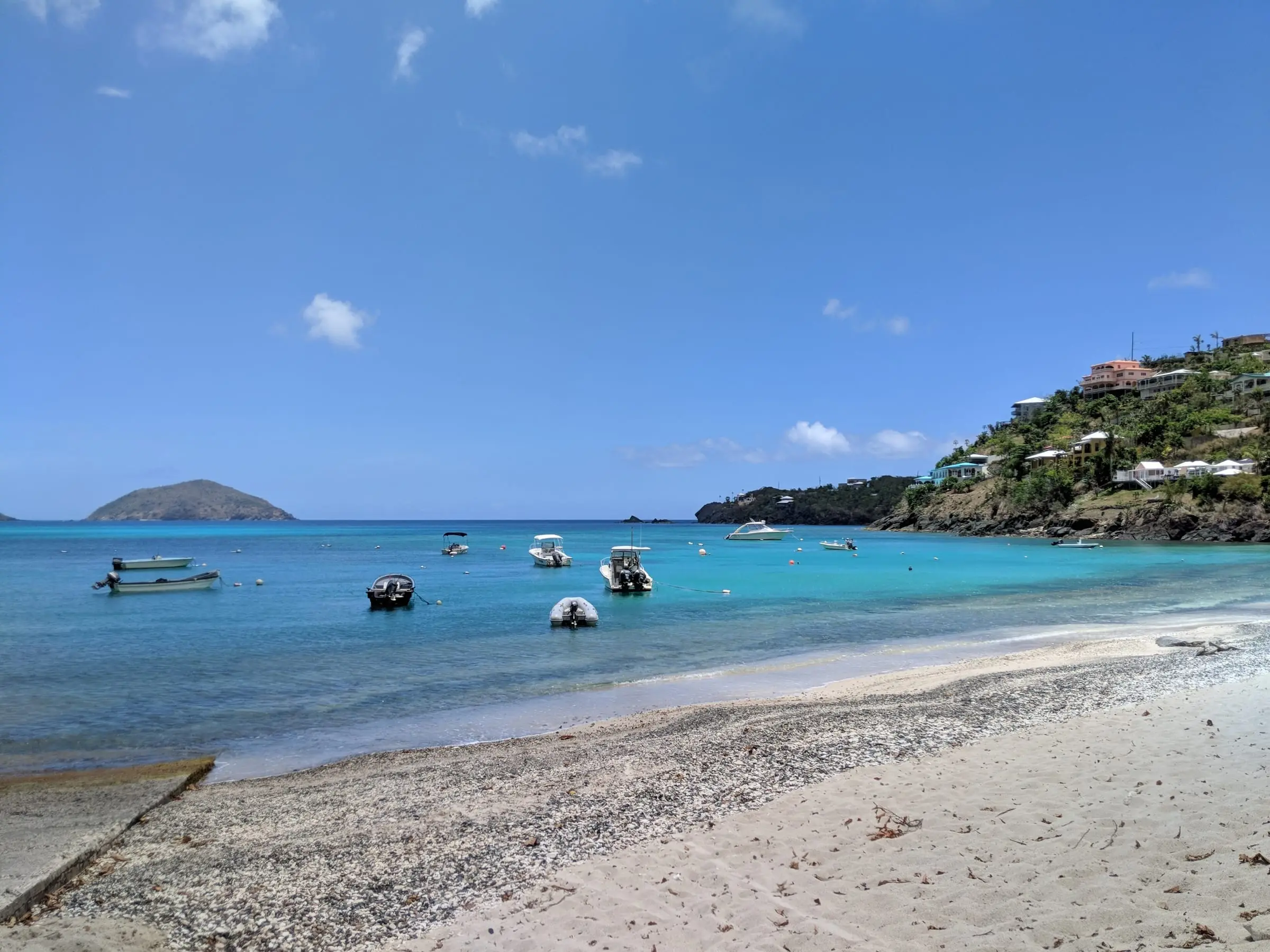
Photo: Gruepig, CC BY-SA 4.0

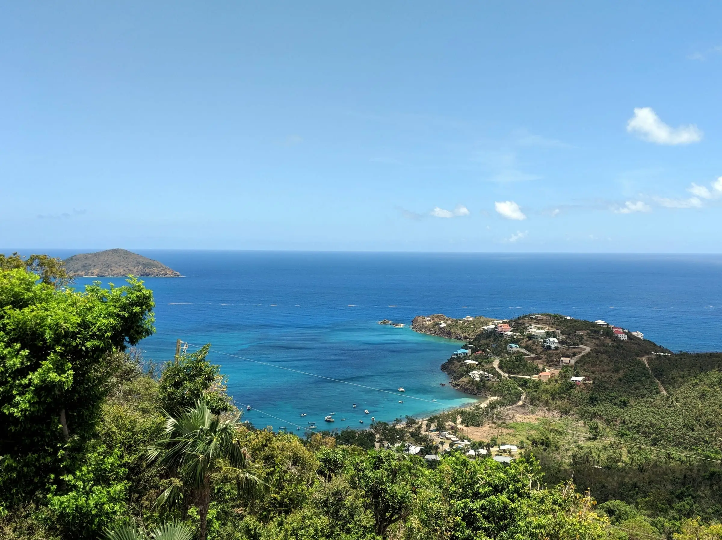
Photo: Gruepig, CC BY-SA 4.0
