
Estate Morningstar Water Mill Trail
Hiking trailsSt. CroixCane Bay and the North ShoreLast verified October 31, 2026
Around Cane Bay and the North Shore
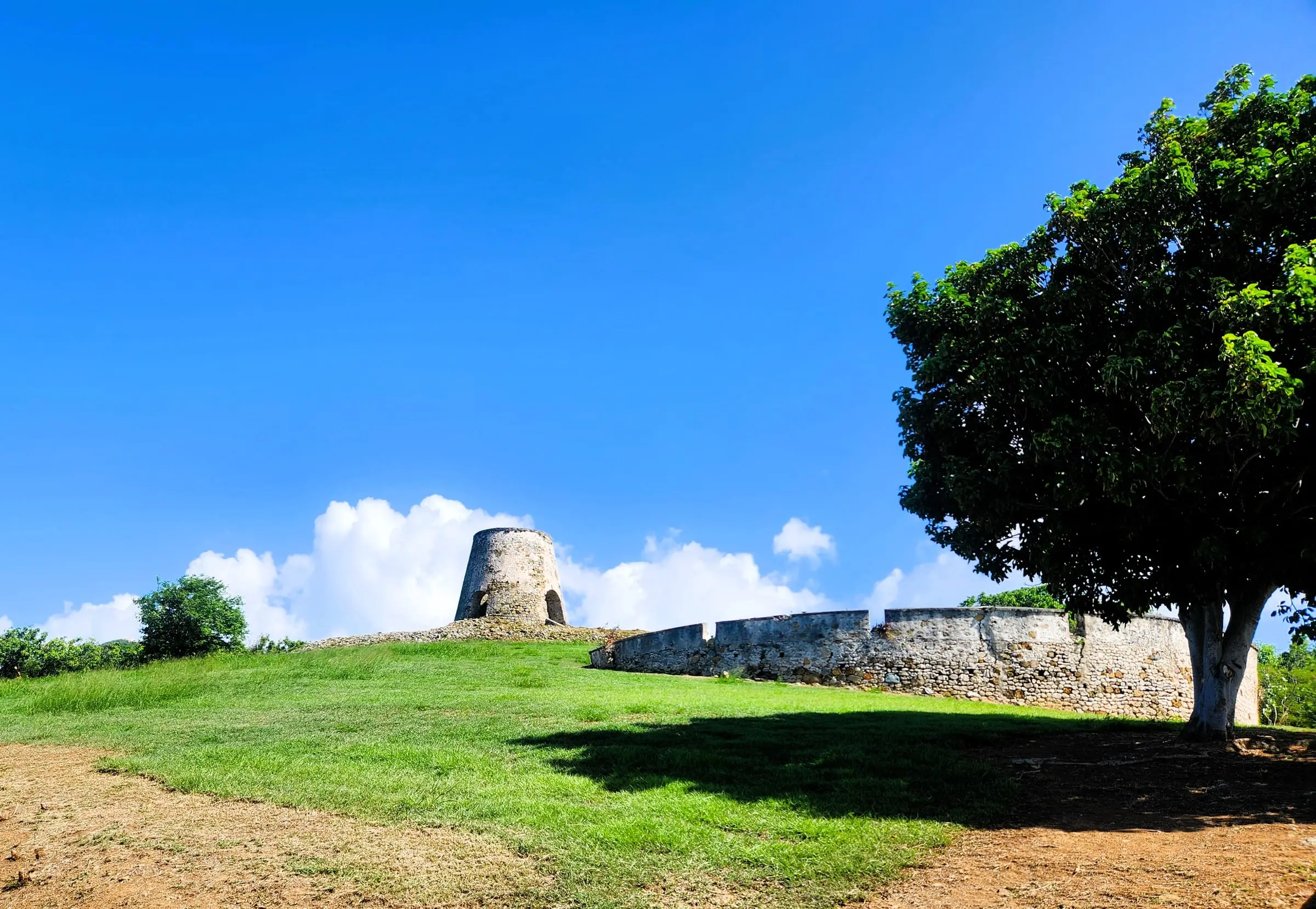
Photo: CaptJayRuffins, CC BY-SA 4.0

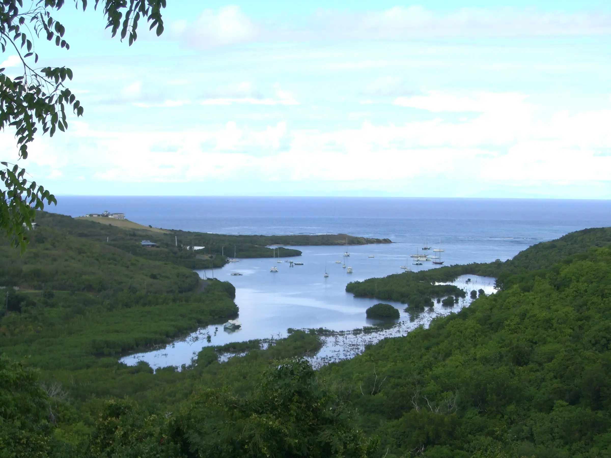
Photo: Kborer, Public domain

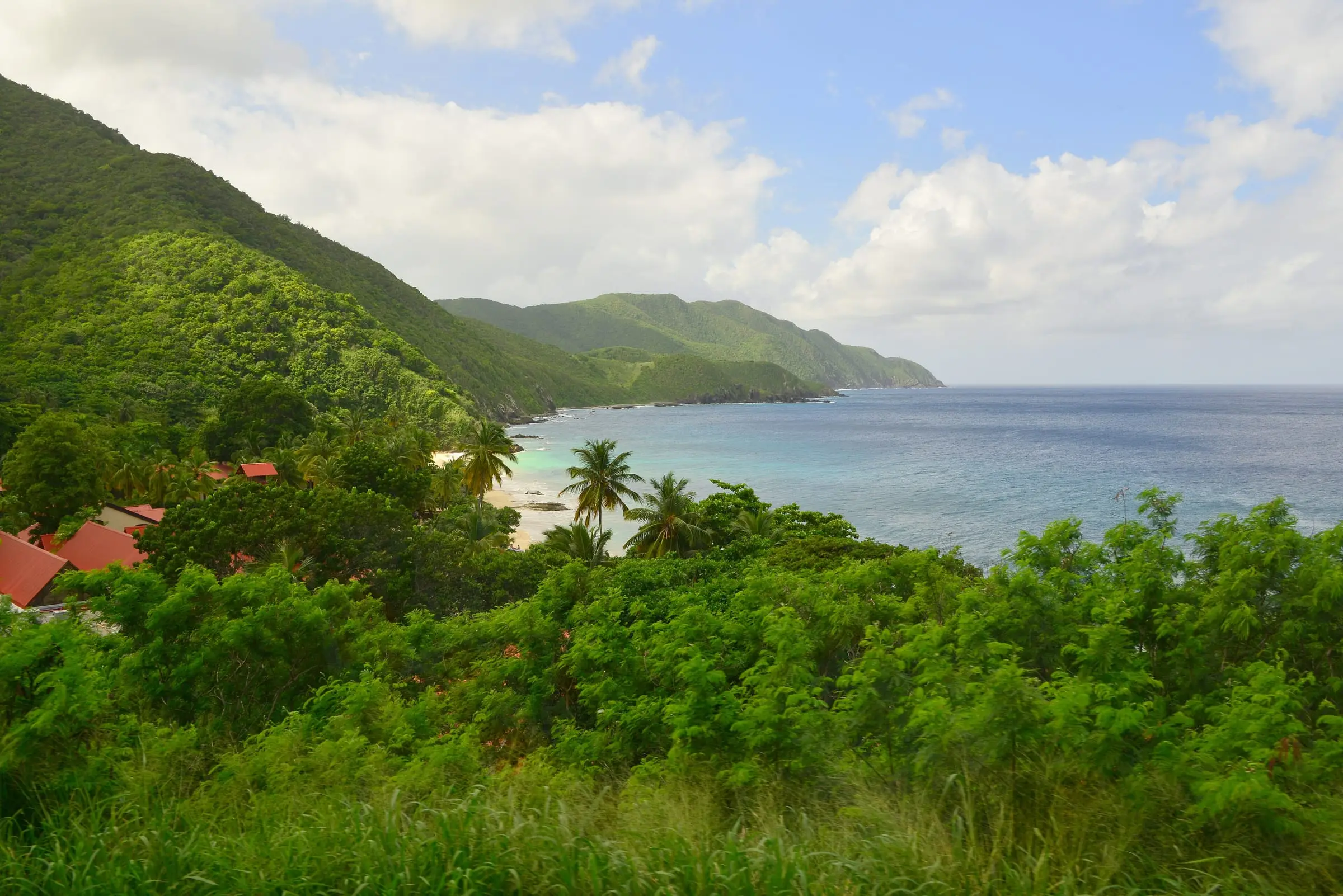
Photo: Андрей Бобровский, CC BY 3.0

The Estate Morningstar Water Mill trail is a short, easy walk to the stone tower of a sugar mill, dating from at least the mid-1700s, in Salt River Bay National Historical Park and Ecological Preserve. GoToStCroix puts the trailhead at a parking area on North Shore Road (Sydney Lee Road) near Salt River Bay, across from a farm entrance. The out-and-back path is about 0.25 miles round trip, mostly flat on packed dirt and gravel, and takes about 15 minutes, with history signs. The round tower, built of coral stone by enslaved Africans, is about 16 feet across and more than 40 feet tall; GoToStCroix says it ran on water from the Salt River, unlike most mills on the island. The National Park Service stabilized the ruins and added signs in 2019. Parking is free; there are no restrooms or water, so bring water and insect repellent.
Services
- About 0.25 miles round trip, easy (GoToStCroix)
- Interpretive signs
- Free roadside parking; no facilities
How we checked
Last verified on October 31, 2026. We checked it against the sources below.
Source: GoToStCroix, https://www.gotostcroix.com/discover/hiking-trails/estate-morningstar-water-mill/ (copyright 2026; within Salt River Bay National Historical Park and Ecological Preserve, trailhead on North Shore Road, signs, 0.25 miles and about 15 minutes, surface, mill dimensions, mid-18th-century date, water power used to grind sugarcane, 2019 NPS stabilization, free parking, no amenities); National Park Service, https://www.nps.gov/sari/planyourvisit/fees.htm (no entrance fee for the park) and https://www.nps.gov/sari/index.htm (park home page; describes a brick and coral masonry tower built in the 1790s that used wind to move water from Salt River to nearby estates); all accessed 2026-10-31. NPS does not publish a page for this trail, and its description of that tower differs from GoToStCroix's account of the mill, so the water-power detail is attributed. Map point: GNIS feature 1614160, 'Morningstar' (Populated Place), the estate, not the trailhead.
USVI Realty does not rank, rate or endorse the places and services in this directory. Hours, fees and rules change, so check the official source before you go.