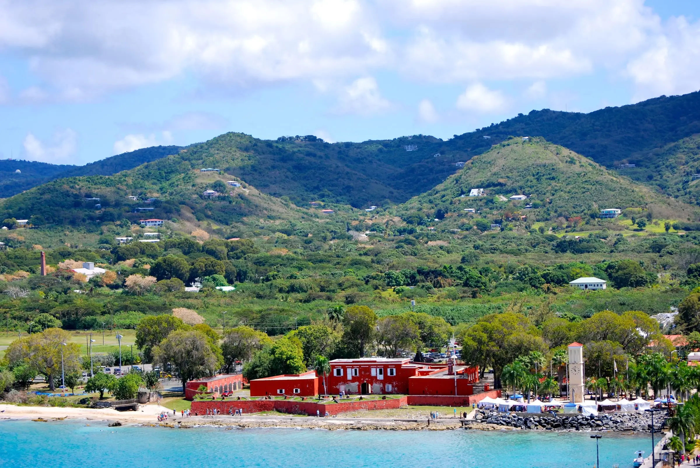
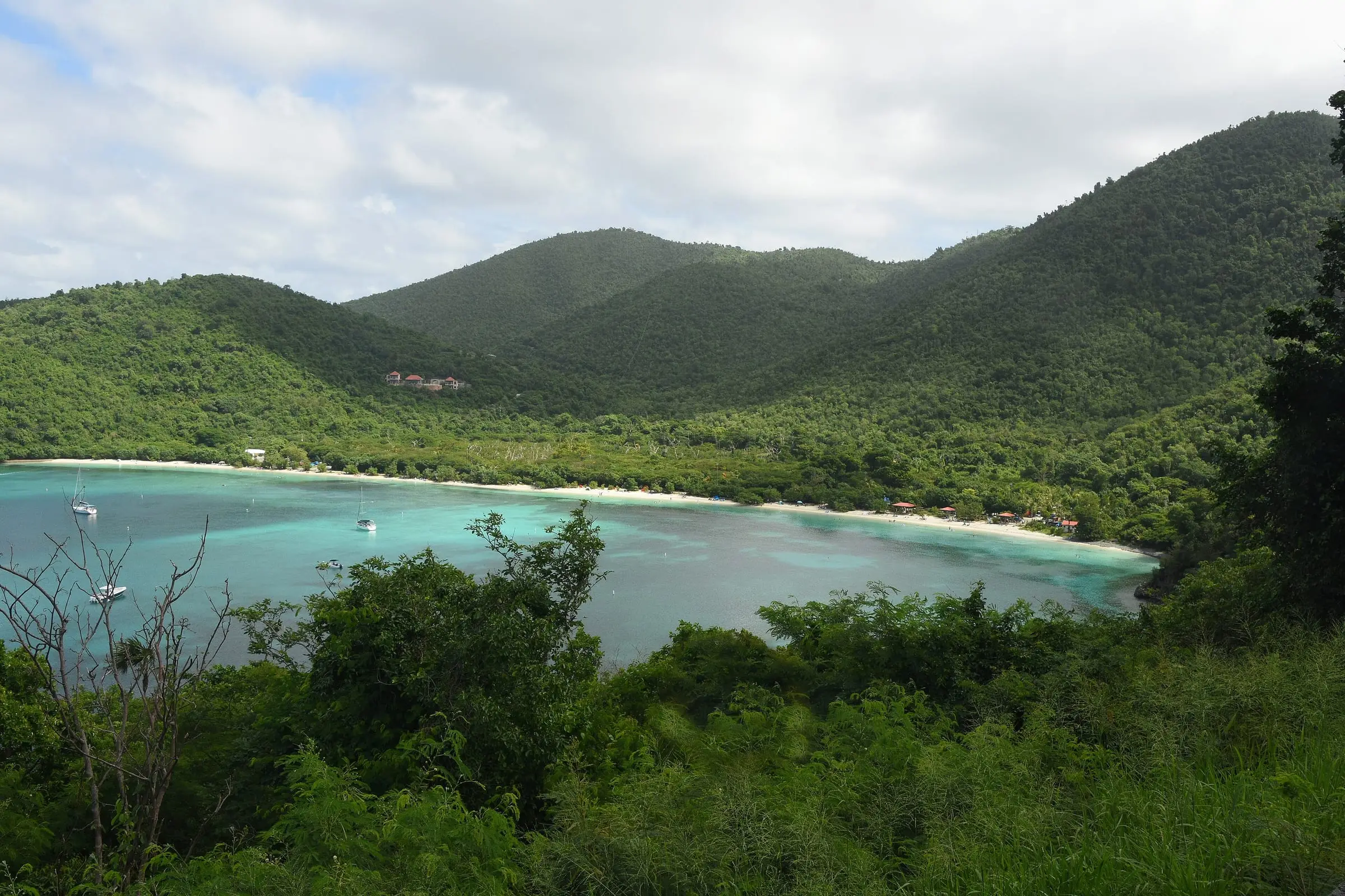
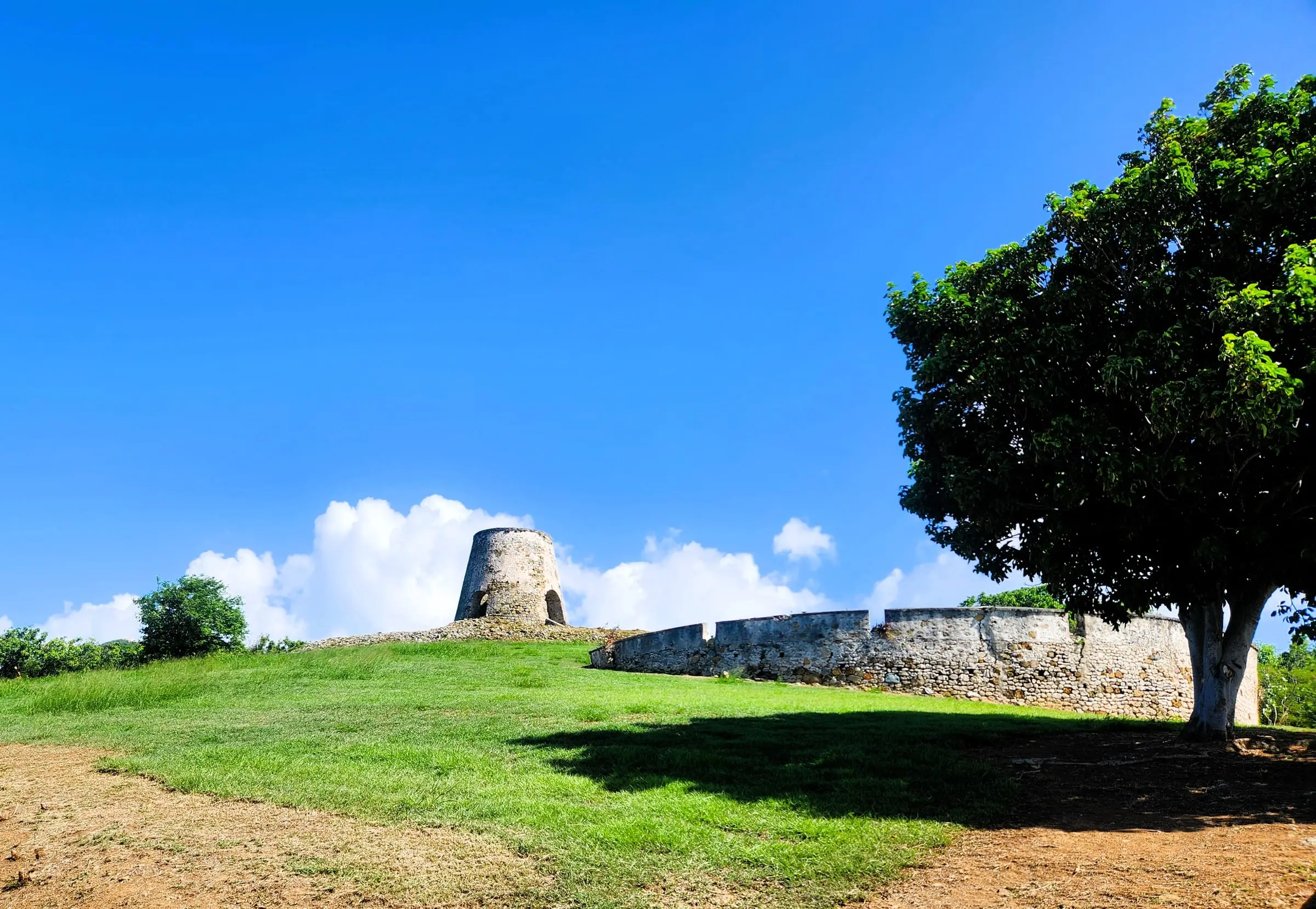
Which USVI Island Is Right for You?
It depends on what you value. St. Thomas has the most people and the capital, St. Croix the most land and the lowest 2020 home values, and St. John the most parkland and fewest residents. Compare amenities and jobs, space and cost, nature and quiet, and getting around.
MovingBy USVI Realty Editorial TeamUpdated October 29, 20267 minute read
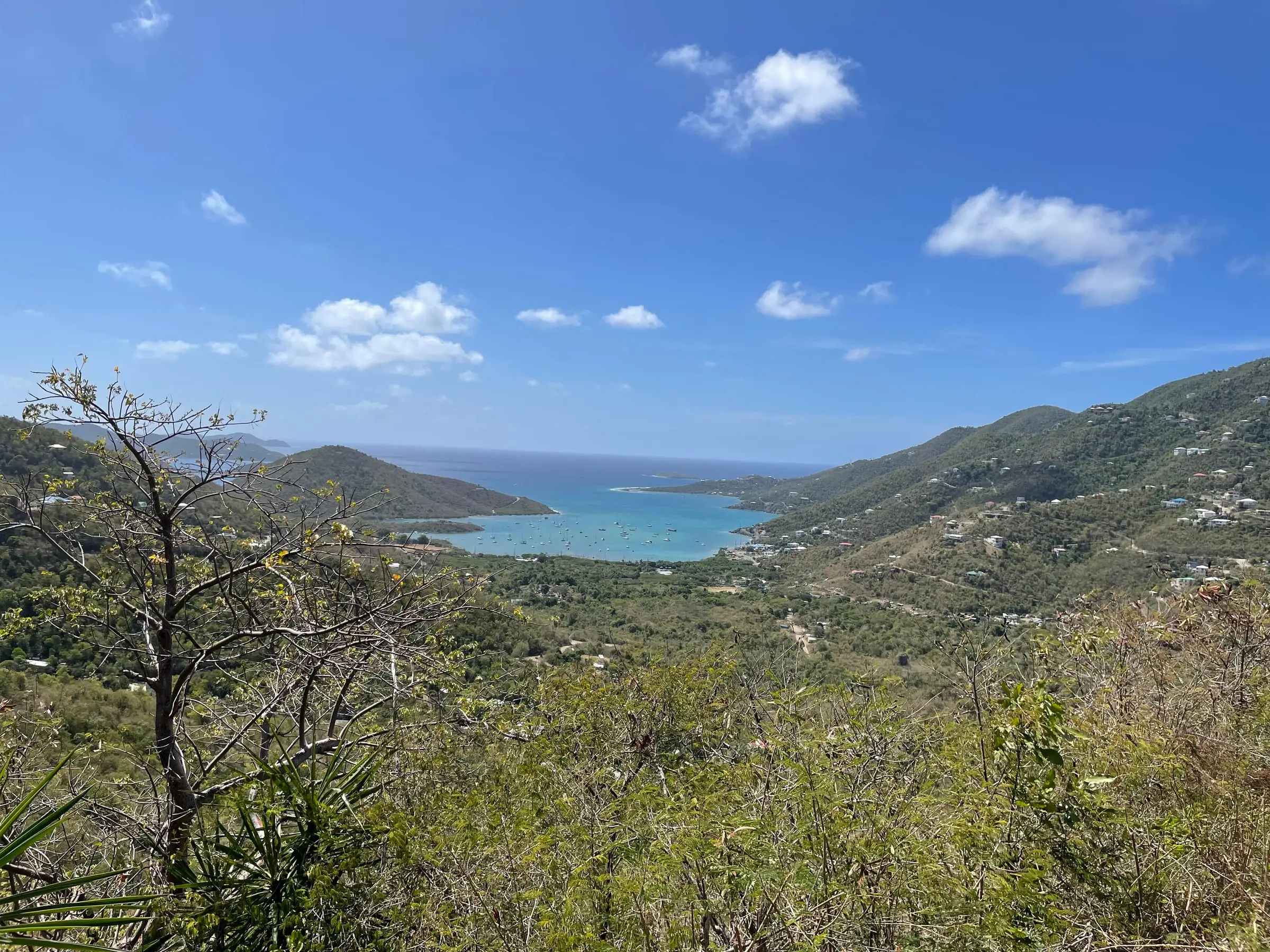
Photo: Eoghanacht, CC0
The three main U.S. Virgin Islands are close neighbors, but daily life on each is very different. This guide sorts the public figures by what people usually weigh when they choose: amenities and jobs, space and cost, nature and quiet, and getting around. It does not pick a winner. USVI Realty is an educational resource; we do not list property, represent anyone or recommend one island over another.
The three islands at a glance
| St. Thomas | St. Croix | St. John | |
|---|---|---|---|
| Population (2020 Census) | 42,261 | 41,004 | 3,881 |
| Change since 2010 | Down 18.2% | Down 19.0% | Down 6.9% |
| Land area | About 31 sq mi | About 83 sq mi | About 19.7 sq mi |
| Residents per square mile of land | About 1,350 | About 490 | About 200 |
| Housing units (2020) | 28,142 | 25,470 | 3,645 |
| Employed residents (2020) | 18,262 | 15,381 | 1,967 |
| Airport | Cyril E. King (STT) | Henry E. Rohlsen (STX) | None |
| Hospital listed by CMS | Roy Lester Schneider Hospital | Gov. Juan F. Luis Hospital | None |
| National park land | 90% of Hassel Island | Three smaller sites | About two-thirds of the island |
| Average commute | 19.1 minutes | 16.3 minutes | 16.0 minutes |
Figures are 2020 Census counts unless noted. Park figures come from the National Park Service and hospital listings from the federal Centers for Medicare & Medicaid Services (CMS). For island-by-island detail, see St. Thomas vs. St. Croix, St. John vs. St. Thomas and St. Croix vs. St. John.
Which island has the most amenities and jobs?
St. Thomas and St. Croix hold most of the territory’s services, and they are close in population.
- St. Thomas is home to Charlotte Amalie, the territorial capital, and to Cyril E. King Airport, which the Port Authority places two miles west of town. It has Roy Lester Schneider Hospital and the University of the Virgin Islands’ Orville E. Kean Campus, and the Blyden Terminal downtown is a hub for ferries to St. John, St. Croix and the British Virgin Islands.
- St. Croix has Henry E. Rohlsen Airport, which the Port Authority says is served by major domestic carriers and has daily inter-island flights. It also has the Gov. Juan F. Luis Hospital and Medical Center and UVI’s Albert A. Sheen Campus in Kingshill.
- St. John has no airport and no hospital. A 2021 release from the territory’s Office of Disaster Recovery said its Myrah Keating Smith Health Center provides 24-hour emergency and outpatient services. Deeds and school registration for St. John are handled at offices on St. Thomas.
The work itself differs too. Among employed residents in 2020:
- Government workers made up 26.1 percent on St. Thomas, 28.2 percent on St. Croix and 13.1 percent on St. John.
- Manufacturing employed 9.4 percent on St. Croix, against 1.6 percent on St. Thomas and 3.1 percent on St. John.
- On St. John, 18.9 percent worked in arts, entertainment, recreation, accommodation and food services and 17.3 percent in construction, and 18.0 percent were self-employed or unpaid family workers.
For families, the Department of Education runs public schools in two districts, St. Thomas/St. John and St. Croix. Its list of registered non-public schools has 14 on St. Thomas, 15 on St. Croix and 2 on St. John.
Estimate as of October 2026. The 2020 Census put median household income for 2019 at $40,464 on St. Thomas, $39,445 on St. Croix and $50,352 on St. John. These figures are from the last full count, not current earnings.
Where do you get the most space for the money?
St. Croix has the most room. Its 83 square miles of land are more than St. Thomas and St. John combined, and in 2020 it had about 490 residents per square mile of land, against about 1,350 on St. Thomas and about 200 on St. John.
The housing differs as much as the land:
- Houses or apartments. Detached single-family houses made up 57.0 percent of homes on St. Croix, 51.9 percent on St. John and 25.1 percent on St. Thomas, where buildings with two to four units held 43.0 percent.
- Size. The median home had 4.6 rooms on St. Croix and 3.8 on both St. Thomas and St. John. Homes with three or more bedrooms were 53.0 percent of St. Croix’s housing, against about 36 percent on the other two islands.
- Renting. Renters occupied 59.4 percent of occupied homes on St. Thomas, 51.3 percent on St. John and 44.3 percent on St. Croix.
- Seasonal homes. On St. John, 25.1 percent of homes were held for seasonal or occasional use, against 5.8 percent on St. Thomas and 5.4 percent on St. Croix.
Estimate as of October 2026. In the 2020 Census, the median value of owner-occupied homes was $356,977 on St. Thomas, $247,090 on St. Croix and $591,160 on St. John, and the median gross rent was $960, $822 and $1,283 a month. These are 2020 figures, not current prices or rents. Ask licensed local professionals what similar homes cost today.
Prices are only part of the cost. Our guides to the cost of living, property taxes and hurricane and flood insurance cover running costs, and USVI home prices explains where to find current sales data.
Where will you find nature and quiet?
St. John stands apart. The National Park Service says two-thirds of the island is national park, with 7,259 acres of land and 5,650 acres of submerged lands, and St. John has the fewest people per square mile of the three. Parkland comes with rules: the park’s 2026 compendium, for example, prohibits pets on park beaches.
St. Croix pairs space with several protected places:
- Christiansted National Historic Site, just over seven acres in town, was the first Park Service unit in the Virgin Islands.
- Salt River Bay National Historical Park and Ecological Preserve covers 1,015 acres of land and water, managed jointly by the Park Service and the territorial government.
- Buck Island Reef National Monument, a 176-acre island offshore, is reached only by boat.
- The U.S. Fish and Wildlife Service’s Sandy Point National Wildlife Refuge provides nesting habitat for endangered leatherback sea turtles.
St. Thomas is the most densely settled of the three. Its national park land is small: the Park Service owns 122 acres, or 90 percent, of Hassel Island, which the Census Bureau maps as an estate of St. Thomas.
How easy is it to get around?
- Flights. St. Thomas and St. Croix each have an airport. The Park Service notes there are no airports on St. John, so trips there start with a flight to St. Thomas and a ferry or car barge from Red Hook, a crossing the Port Authority says takes approximately 15 minutes.
- Between islands. The Port Authority lists one ferry service between St. Thomas and St. Croix, running Thursday through Monday, and no direct ferry between St. Croix and St. John. Its seaplane terminal pages describe service between Christiansted and downtown Charlotte Amalie, but Seaborne Airlines, the operator it names, did not mention seaplanes on its home page when we checked, so confirm before you rely on it.
- Buses. VITRAN, run by the Department of Public Works, provides public transportation and paratransit on all three islands.
- Driving. “We drive on the left here in the Virgin Islands,” the Park Service reminds visitors.
- Commutes. The average trip to work in 2020 was 19.1 minutes on St. Thomas, 16.3 on St. Croix and 16.0 on St. John. On St. John, 13.0 percent of workers walked to work; on St. Thomas, 5.8 percent rode a public van or bus.
Estimate as of October 2026. The Port Authority lists the St. Croix ferry at $60 one way and the Red Hook to Cruz Bay passenger ferry at $6 one way for residents and $8.15 for non-residents. One-way car barge fares listed there are $50, with lower resident rates on some barges. Schedules change with the seasons, so confirm with the operators.
How do you decide?
Start with your own priorities, then test each island against them:
- Work. Where will you work, and how would you get there each day?
- Travel. How often will you fly? St. Thomas and St. Croix have airports; on St. John, every trip off the island starts with a boat.
- Space and budget. How much room do you need, and what can you spend? Compare current prices with licensed professionals, not 2020 medians.
- Services. How far would you be from a hospital, schools and the offices you will use?
- Setting. Do you want a town, open countryside or a national park next door?
The island guides for St. Thomas, St. Croix and St. John cover towns, estates and property types. For daily life, read Living in St. Thomas, Living in St. Croix and Living in St. John. When you are ready to plan, see our moving checklist.
If you can, visit each island you are considering before you commit, and talk with licensed professionals about any home you are weighing.
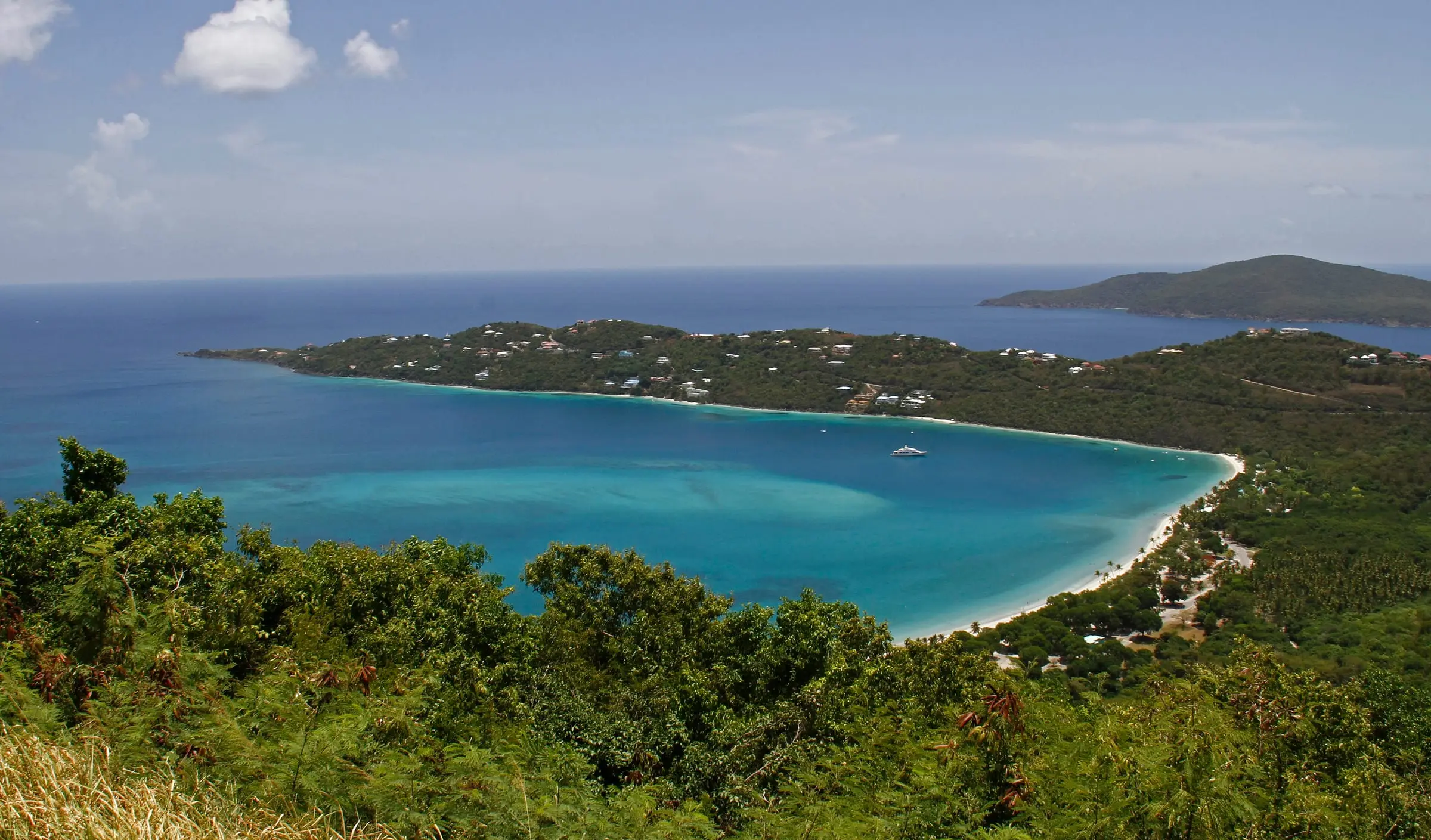
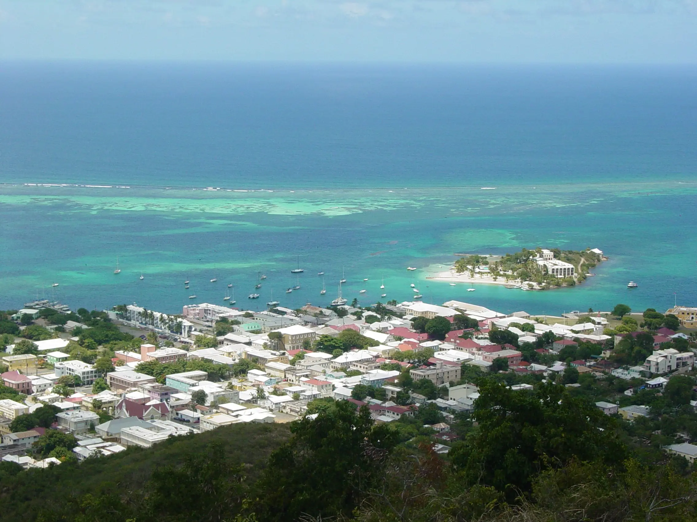
Photo: Jason P. Heym, CC BY-SA 3.0
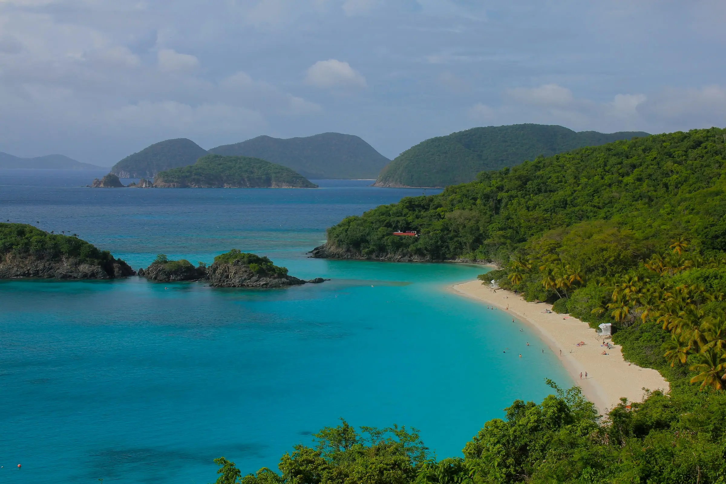
Photo: Navin75, CC BY-SA 2.0
Questions
What is the best Virgin Island to live on?
There is no single best island. St. Thomas has the most residents and services, St. Croix the most land and the lowest 2020 home values, and St. John the most national park and the fewest people. The right choice depends on your work, budget and how you want to live, and USVI Realty does not recommend one island over another.
Which USVI island is cheapest?
By 2020 Census figures, St. Croix had the lowest median home value and median gross rent of the three islands, and St. John the highest. Those figures are from 2020, not today's prices. For current costs, ask licensed local professionals and ask for recent utility bills on the specific home.
Which island has the most amenities?
St. Thomas and St. Croix each have an airport, an acute care hospital listed by the Centers for Medicare & Medicaid Services and a University of the Virgin Islands campus, and St. Thomas is home to the capital, Charlotte Amalie. St. John has no airport or hospital. A 2021 territorial release said its health center provides 24-hour emergency and outpatient care.
How do you get between the islands?
By boat or by air. Passenger ferries and car barges run between St. Thomas and St. John every day, and the Virgin Islands Port Authority lists one ferry between St. Thomas and St. Croix, Thursday through Monday. St. Croix's airport has daily inter-island flights, and any trip between St. Croix and St. John goes through St. Thomas.
Sources
- Table 1. Population of the United States Virgin Islands: 2010 and 2020, U.S. Census Bureau (accessed October 29, 2026)
- Table 3. Housing Unit Counts of the United States Virgin Islands: 2010 and 2020, U.S. Census Bureau (accessed October 29, 2026)
- 2020 Census Demographic Profile, St. Thomas Island: Selected Housing Characteristics (DP4), U.S. Census Bureau (accessed October 29, 2026)
- 2020 Census Demographic Profile, St. Croix Island: Selected Housing Characteristics (DP4), U.S. Census Bureau (accessed October 29, 2026)
- 2020 Census Demographic Profile, St. John Island: Selected Housing Characteristics (DP4), U.S. Census Bureau (accessed October 29, 2026)
- 2020 Census Demographic Profile, St. Thomas Island: Selected Economic Characteristics (DP3), U.S. Census Bureau (accessed October 29, 2026)
- 2020 Census Demographic Profile, St. Croix Island: Selected Economic Characteristics (DP3), U.S. Census Bureau (accessed October 29, 2026)
- 2020 Census Demographic Profile, St. John Island: Selected Economic Characteristics (DP3), U.S. Census Bureau (accessed October 29, 2026)
- 2020 Island Areas Demographic Profile, U.S. Virgin Islands: variable labels, U.S. Census Bureau (accessed October 29, 2026). Labels used to read the DP3 and DP4 table codes.
- TIGERweb: U.S. Virgin Islands county-equivalents (island land area), U.S. Census Bureau (accessed October 29, 2026). Land areas and residents per square mile of land are calculated from AREALAND.
- TIGERweb: Estate Hassel Island (St. Thomas), U.S. Census Bureau (accessed October 29, 2026)
- Virgin Islands National Park, National Park Service (accessed October 29, 2026)
- Virgin Islands National Park: Basic Information, National Park Service (accessed October 29, 2026)
- Virgin Islands National Park: Frequently Asked Questions, National Park Service (accessed October 29, 2026). Source for the park owning 122 acres, or 90 percent, of Hassel Island.
- Virgin Islands National Park: Directions, National Park Service (accessed October 29, 2026)
- Virgin Islands National Park: Superintendent's Compendium (2026 update), National Park Service (accessed October 29, 2026)
- Christiansted National Historic Site, National Park Service (accessed October 29, 2026)
- Salt River Bay National Historical Park and Ecological Preserve: Basic Information, National Park Service (accessed October 29, 2026)
- Buck Island Reef National Monument, National Park Service (accessed October 29, 2026)
- Buck Island Reef National Monument: Directions, National Park Service (accessed October 29, 2026)
- Sandy Point National Wildlife Refuge, U.S. Fish and Wildlife Service (accessed October 29, 2026)
- Cyril E. King Airport, St. Thomas, Virgin Islands Port Authority (accessed October 29, 2026)
- Henry E. Rohlsen Airport, St. Croix, Virgin Islands Port Authority (accessed October 29, 2026)
- Ferry and Cargo Schedules, Virgin Islands Port Authority (accessed October 29, 2026)
- Seaport Schedules, Virgin Islands Port Authority (accessed October 29, 2026)
- Edward Wilmoth Blyden IV Marine Terminal, Virgin Islands Port Authority (accessed October 29, 2026). Source for Charlotte Amalie as the territorial capital and for the terminal's ferry links.
- Charles F. Blair Jr. Seaplane Terminal, Virgin Islands Port Authority (accessed October 29, 2026)
- Svend Aage Ovesen Jr. Seaplane Terminal, Virgin Islands Port Authority (accessed October 29, 2026)
- Seaborne Airlines, Seaborne Airlines (accessed October 29, 2026). The operator the Port Authority names for seaplane service. Its home page did not mention seaplanes when checked.
- Hospital General Information: U.S. Virgin Islands, Centers for Medicare & Medicaid Services (accessed October 29, 2026). Lists two acute care hospitals in the territory, both with emergency services.
- Myrah Keating Smith Health Center Receives FEMA Approval for Replacement (September 10, 2021), USVI Office of Disaster Recovery (accessed October 29, 2026)
- University of the Virgin Islands, University of the Virgin Islands (accessed October 29, 2026)
- School Registration, Virgin Islands Department of Education (accessed October 29, 2026)
- Non-Public Schools, Virgin Islands Department of Education (accessed October 29, 2026)
- Recorder of Deeds, Office of the Lieutenant Governor, U.S. Virgin Islands (accessed October 29, 2026)
- About VITRAN, Virgin Islands Department of Public Works (accessed October 29, 2026)